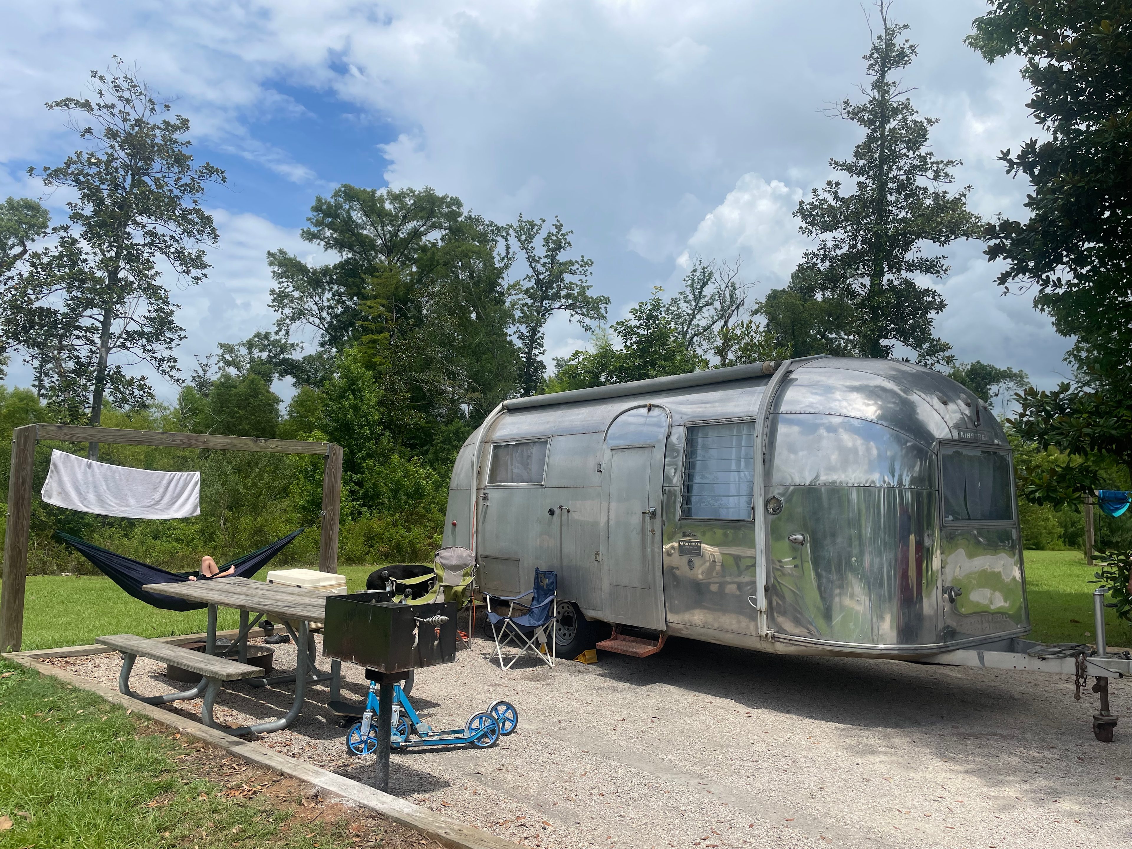
96% (1.8K) • 101 campsites
Top-rated campgrounds near Florida Panhandle
The Wandering Path
1. The Wandering Path
100%
(391)
9 sites · Tents, RVs, Lodging · Milton, FL
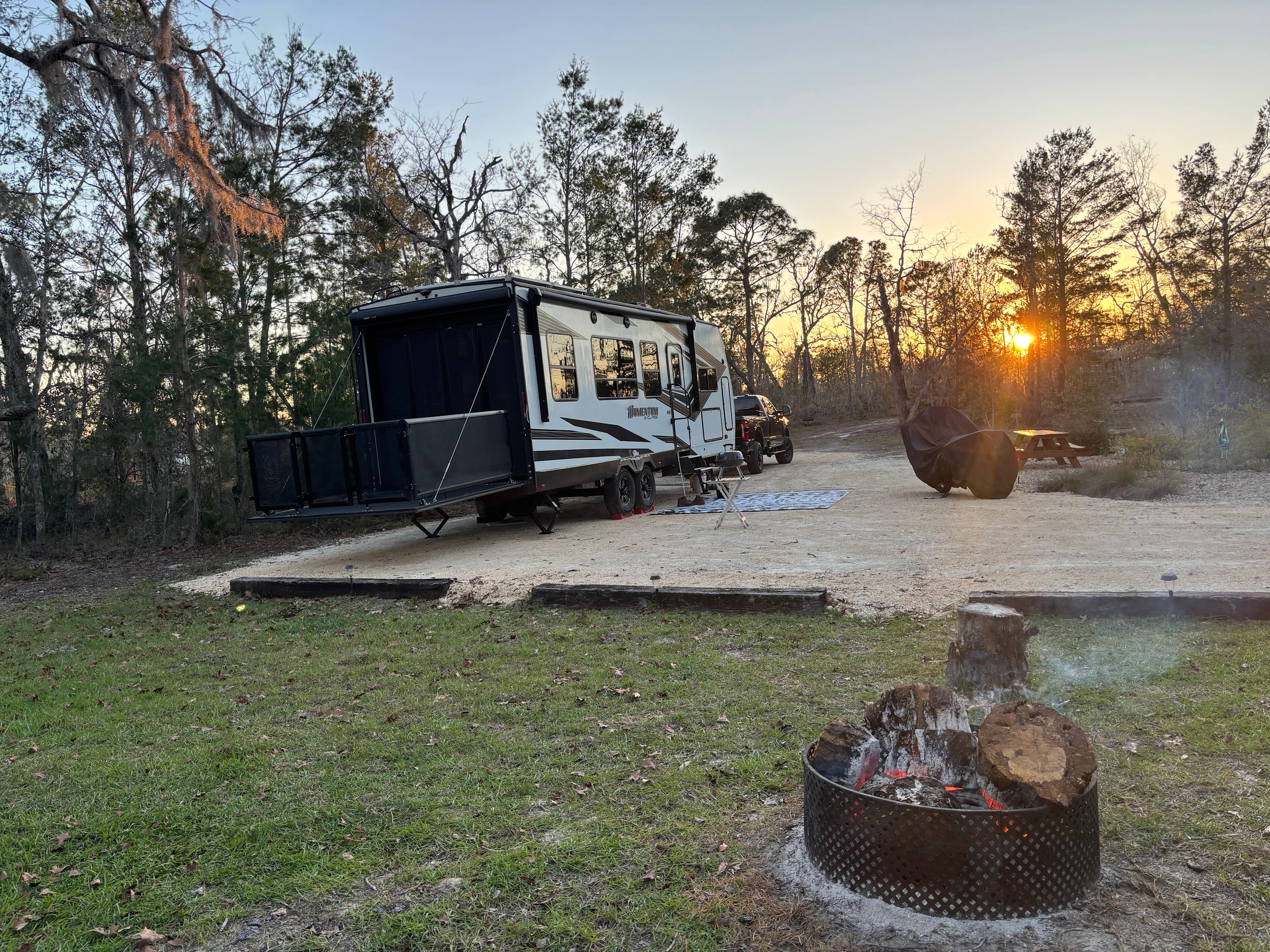
Located 20 minutes north of downtown Milton, FL, The Wandering Path is a serene escape, offering a unique blend of untouched natural beauty and comfortable accommodations.
With 2000 feet of waterfront along the picturesque Coldwater Creek, this nature retreat is a world away from the hustle and bustle of city life, set within a sprawling 20-acre landscape.
Accommodations at The Wandering Path are designed for those seeking a peaceful retreat.
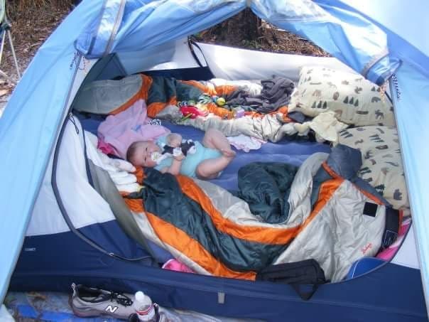
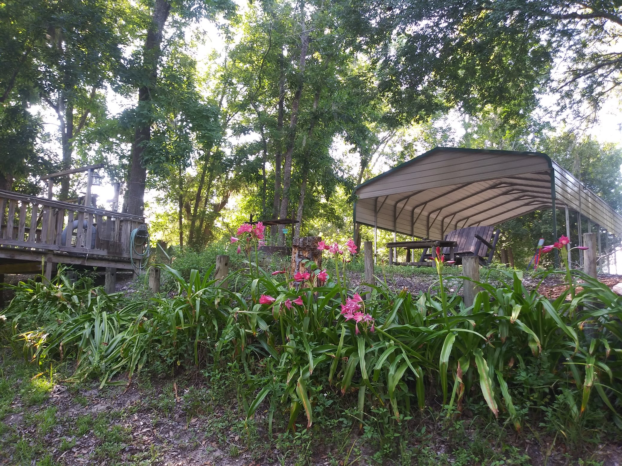
4 glamping tents, equipped with real full-size beds, portable AC for summer, heaters for winter, and essential amenities, ensure a comfortable stay amidst nature. Each tent is adorned with solar string lights, and outdoor essentials like a picnic table, fire pit ring, small charcoal grill, and trash can are provided.
There is 1 RV site with 30 amp electric and water.
For those who prefer a more raw connection with nature, 4 primitive campsites are available, each equipped with solar string lights, a fire pit ring, and a trash can.
Guests have access to a centrally located bathhouse with two full bathrooms, ensuring comfort and convenience.
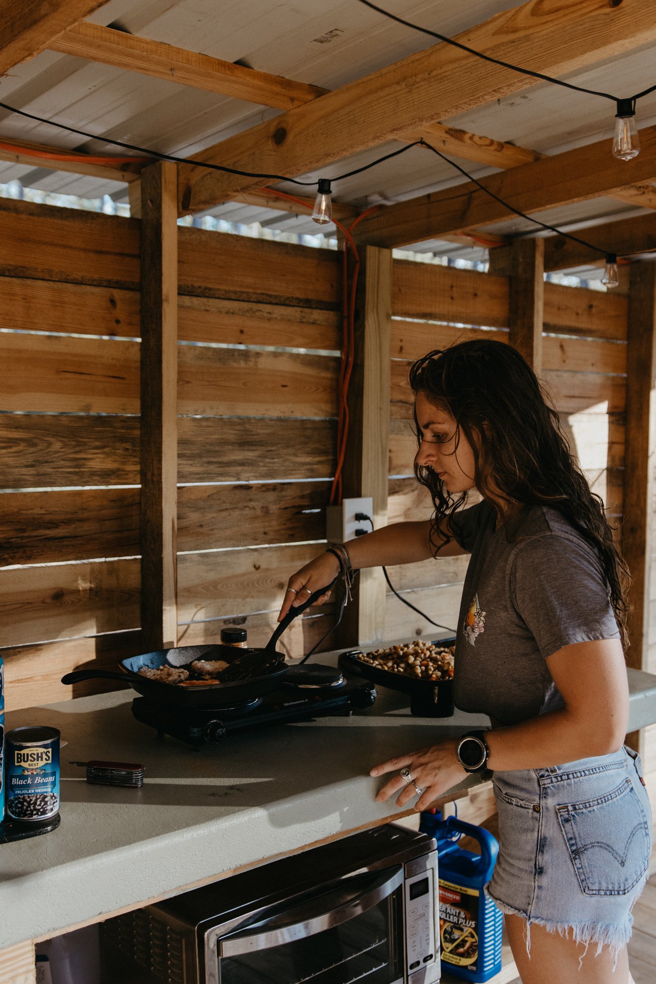
There is an outdoor kitchen for all guests to use.
There is no cookware, silverware or dishes.
There is a counter-top oven, toaster, 2 stove top burners, 1 flat top griddle, sink and keurig coffee maker.
There are reusable k-cups for you to put your own coffee in, or your own k-cups.
The property boasts 2000 feet of trails alongside the creek, perfect for hiking and exploring the natural surroundings.
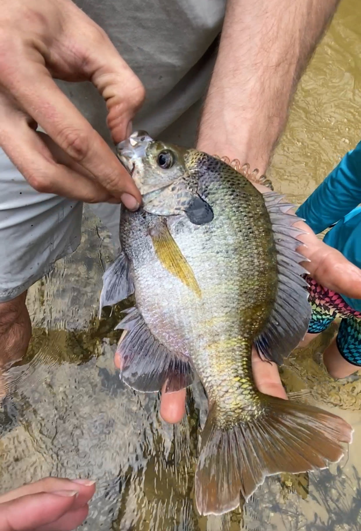
Kayak rentals are available for guests with appropriate vehicles, and fishing enthusiasts are welcome to cast their lines into the spring-fed creek.
At The Wandering Path, nights come alive under a starlit sky, unblemished by city lights, making every evening perfect for a campfire. It’s more than just a stay; it’s an experience of tranquility, a chance to recharge amidst nature’s embrace.
We look forward to becoming your go-to spot when you’re in need of recharging.
We are less than 1 hour from Pensacola and Navarre beaches, 15-20 minutes to local grocery stores and restaurants.
At this time, no pets or children under 12 are allowed in yurts.
***All pets do require prior approval to maintain the safety of other guests.
Pets
Electrical hookup
Toilets
from
$41
/ night
Bayside Camping
2. Bayside Camping
92%
(66)
1 site · Tent, RV · Carrabelle, FL
Enjoy the charming fishing village of Carrabelle, Florida. Bayside Camping is a privately owned 100’ x 100’ tract of ocean front property. Take a walk alongside the natural beach and experience the ocean waves at the East Pass a.k.a. The Gateway to the Gulf with a direct view of Dog Island and St. George Island. Carrabelle‘s public beach is about 1 mile away and St. George Island is approximately a 15 minute drive with beautiful beaches and restaurants alongside the ocean. Enjoy the Carrabelle lighthouse tour or catch an airboat ride at Captain Hooks Airboat Excursions in Apalachicola. Boat rentals are available both in Carrabelle and neighboring East Point. Fishing charters are available at Cippio Creek in Carrabelle or East Point. Enjoy local seafood at Carabelle’s Millender’s seafood or enjoy dining out at The Farmer’s Daughter or Fathom’s Steam Room and Raw Bar to name a couple of popular night spots.
Pets
Campfires
from
$58
/ night
"Sweet Tupelo" on the "Big River"!
3. "Sweet Tupelo" on the "Big River"!
99%
(357)
3 sites · Tents, RVs · Bristol, FL
R.V. DUMP STATION for guests!
.
ALL THREE sites now have large pull-through circular driveways!
.
"SWEET TUPELO" is a magical 12-acre RIVERFRONT property offering 3 riverfront R.V. sites, spaced 150 feet apart from each other. We're directly on the Apalachicola River, approximately 15 minutes south of Bristol, Florida. These campsites have so much to offer with sweeping water views on a wide bend of the river! The campsites feature:
.
1. Waterfront R.V. camping sites spaced far enough from another camper for your enjoyment, (150 feet apart from each other with Site 1 and Site 3 having woods on one side).
2. Picnic table at EACH SITE.
3. Swivel-top charcoal grill at EACH SITE.
4. Fire Pit with wood Adirondack Chairs AT EACH SITE.
5. EACH SITE has a 30-amp and 50-amp hookup, plus 110v electric outlets, along with two city drinking water spigots, (bring your own RV electric cord and RV drinking water hose).
6. Room for boat parking
7. County-owned boat ramp, playground, restrooms, just 300 YARDS AWAY!
8. R.V. size limit recommendations: Site 1 up to 50', Site 2 up to 40', Site 3 up to 40'.
.
(For best results to see ALL features of our listing, including dates/availability of ALL 3 campsites, view our Hipcamp listing on a laptop rather than your mobile phone)
.
Our three "SWEET TUPELO" R.V. campsites are located on 12 riverfront acres in the northern Panhandle of Florida on the historic Apalachicola River. The name “Sweet Tupelo” is taken from the Tupelo tree that grows exclusively in the floodplains and sloughs along the Apalachicola River. Local bees make their honey with the pollen of these trees creating many unique health and taste benefits found only in this part of the world. When you venture back into civilization, make sure you pick up a jar of Tupelo honey. You won’t be disappointed!
.
"Sweet Tupelo" is located roughly halfway between Apalachicola and Chattahoochee, at the river's mile marker 60. This river is Florida's LARGEST by volume of water, stretching 103 miles from the FL/GA border in Chattahoochee to the historic fishing village of Apalachicola on the Gulf coast.
.
WE DO NOT OFFER RESTROOMS - You would use your RV bathroom and our RV Dump Station.
.
Quiet and respectful campers only! No loud parties allowed.
Pets
Electrical hookup
Campfires
from
$50
/ night
T.H. Stone Memorial St. Joseph Peninsula State Park
4. T.H. Stone Memorial St. Joseph Peninsula State Park
97%
(16)
114 sites · Port St Joe, Florida
Get two bodies of water for the price of one in northwest Florida.
Pets
Toilets
Campfires
St. Andrews State Park
5. St. Andrews State Park
100%
(12)
158 sites · Lower Grand Lagoon, Florida
This park is a gorgeous setting for swimming, snorkeling, scuba diving, and sunbathing.
Pets
Toilets
Campfires
Golden Retreat at Bear Creek
6. Golden Retreat at Bear Creek
100%
(1)
6 sites · Tents, RVs, Lodging · Panama City, FL
Immerse yourself in the beauty of nature at Bear Creek, an unforgettable escape. Bring your furry friends along, hook up your RV or travel trailer, and indulge in the tranquility of this well-maintained property. With WiFi and all the necessary connections available, you can enjoy a peaceful stay while staying connected.
Avoid the hustle and bustle of the city and take a short 25-minute ride to Panama City or a 40-minute ride to Panama City Beach, where you can experience the stunning beaches that have earned the title of the world's most beautiful. This is the perfect opportunity to reconnect with nature and create lasting memories.
Pets
Toilets
Full hookups
from
$65
/ night
Incommunicado Gulf Front
7. Incommunicado Gulf Front
97%
(74)
4 sites · RVs · Port St. Joe, FL
My wife and I stayed on this very spot in January 2020 and fell in LOVE with it! Being relative newbies to RVing, we wanted something private but also wanted a beach front vacation without spending 5K for a house. So, we decided to start searching. Turns out, there isn't a whole lot of RV hookup spots right on the beach. But, we ran across this lovely privately owned gulf front lot on Cape San Blas in Florida and stayed for a week that January. We loved it so much we tried to book it again in May of that year, but it was of course booked the entire month. So, we booked another spot and headed to the cape in May anyway. We wanted to see our favorite spot again, so we drove by one day and low and behold, it was for sale. We couldn't pass up an opportunity to own something we fell in love with so quickly, so we took the jump, and bought it! And now, we can share it with all of you. Treat yourself to a beach front vacation in your own "home" and enjoy the journey friends. You only live once!
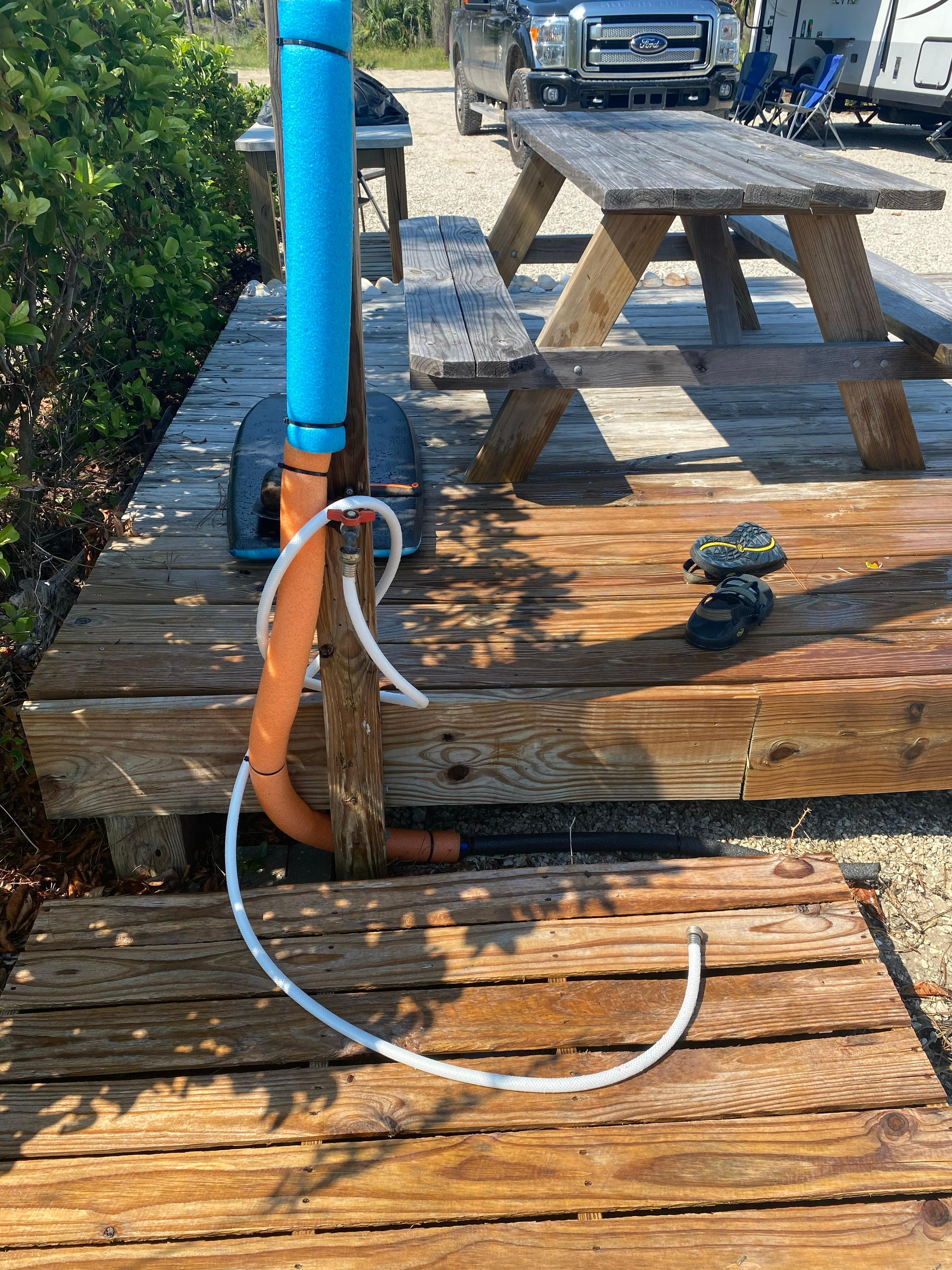
GULF FRONT! Yes, you have your own path directly to the beach along with outdoor shower to rinse of your day on the sand and then enjoy the grill and picnic area for your afternoon dinner with your group.
This 1/2 acre private property gulf front and equipped with 30/50 amp service, water, sewer, trash pickup, an outdoor patio, grill and misting outdoor shower. Just bring your swimming suits you'll be set.
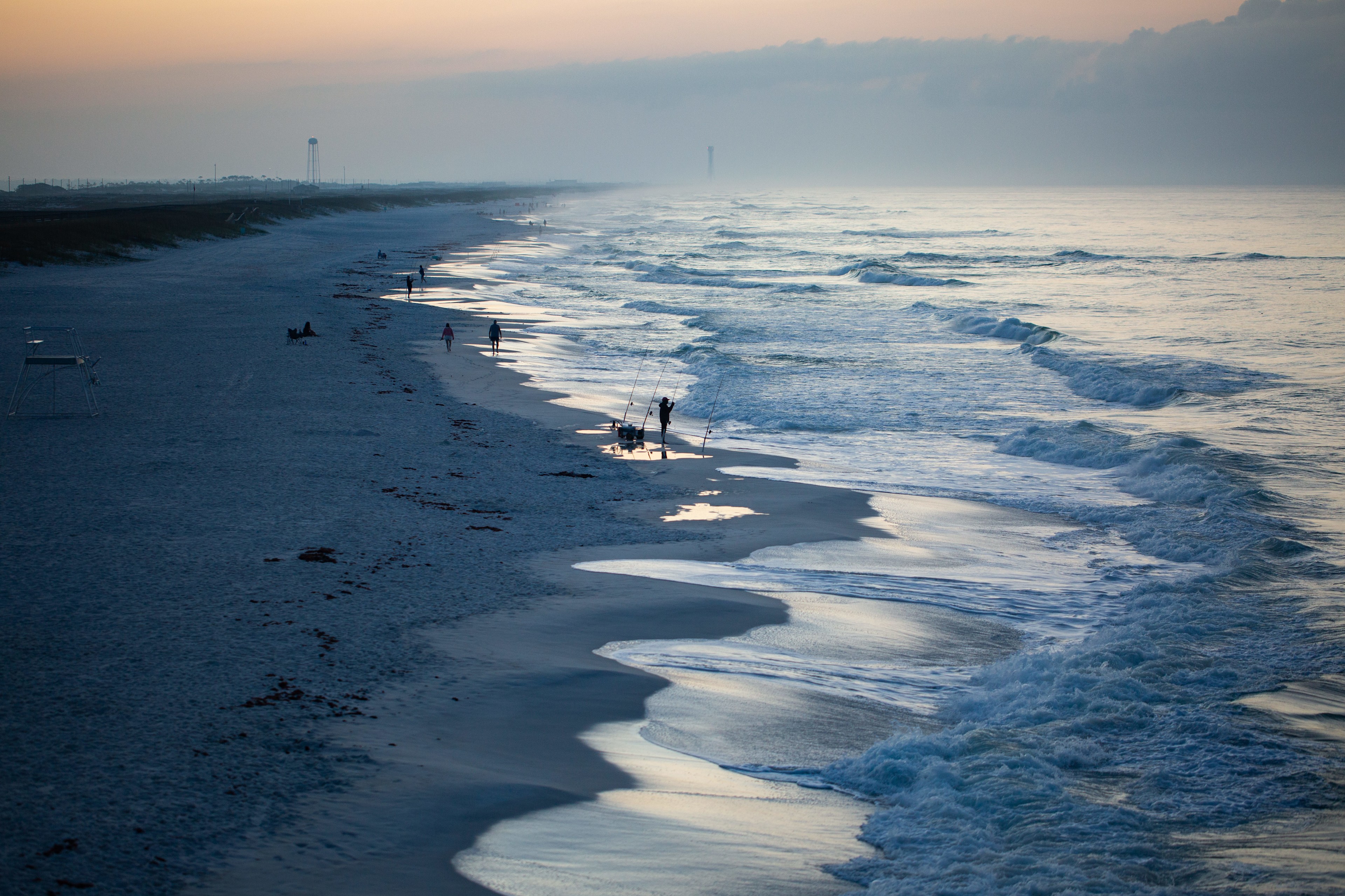
Cape San Blas, FL is one of the most beautiful and laid back places you will visit. This property is located on Cape San Blas and is right on the water (gulf side). The cape bike path you can take all the way to the state park and explore the entire cape and all it has to offer (22 mile round trip bike path). Also, check out kayaking in the bay or horse-back riding on the beach!
Salinas Park is just a stone's throw where you can enjoy picnics with the family walk out to the bay or even drive onto the beach (permit required).
The sleepy little towns of Port St. Joe and Appalachicola have so many great local restaurants and shops and you will love the laid back chill of these old Florida towns.
If you've never taken your crew and camped right on the beach, then this is the place for you. Completely private lot with only private houses around on a sandy road and your own private beach access. Enjoy your stay!
Pets
Full hookups
from
$176
/ night
Moonpie Farm and Creamery
8. Moonpie Farm and Creamery
97%
(381)
7 sites · Tents, RVs · Cottondale, FL
The property has been in my family since the early 1930s.
the old homestead was my Great Grandparents,
it still standing and I currently under demo once complete we are building a small cabin
The old barn is now where most of the birds roost. The Greasy Skillet is now a big chicken coop.
during hurricane Michael a big tree uprooted and up-rooted the concrete slab with it.
What is now my home was my grandparent's house.
I renovated some of it and moved in after the loss of my grandma.
We are a WORKING FARM
You will see and hear all the farm sounds! You can pet the goats . You never know their might even be baby goat to hold and bottle feed. There are chickens, ducks, geese, guinea fowl, quail and turkeys galore. We now have Peacocks!!! We also have 4 BIG PIG that love ear scratches. We offer farm tours!!! There are livestock guardian dogs that protect the farm. They sleep lots during the day and patrol at night so they bark lots at night...
We are a REAL WORKING FARM. You can join in on morning feeding or collet eggs. You can watch or help with morning milking!
If you are real adventurous you can help around the farm!!!
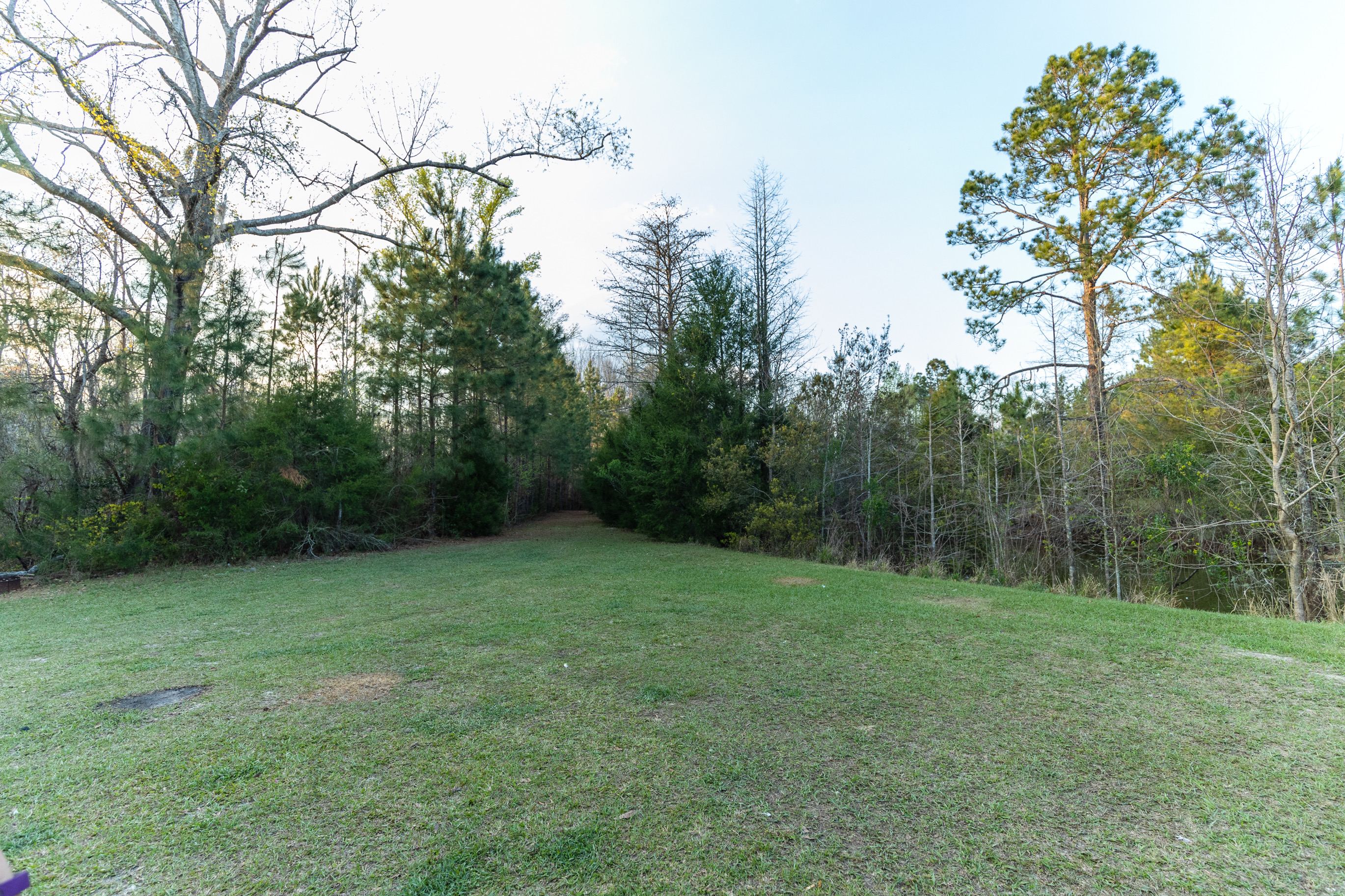
You can pitch you tent in the pine forest or in the open area next to the ponds!
We make and sell homemade cheeses. Please check out our Farm Store !
We are conveniently located off of I-10 and hwy 231.
We have numerus Florida State Parks within minutes of our location!
Please DO NOT take Sapp Rd or Admiral Rd they do not go to the farm.
Toilets
Campfires
Showers
from
$18
/ night
Navarre Beach Camping Resort
9. Navarre Beach Camping Resort
92%
(173)
153 sites · Tents, RVs, Lodging · Navarre, FL
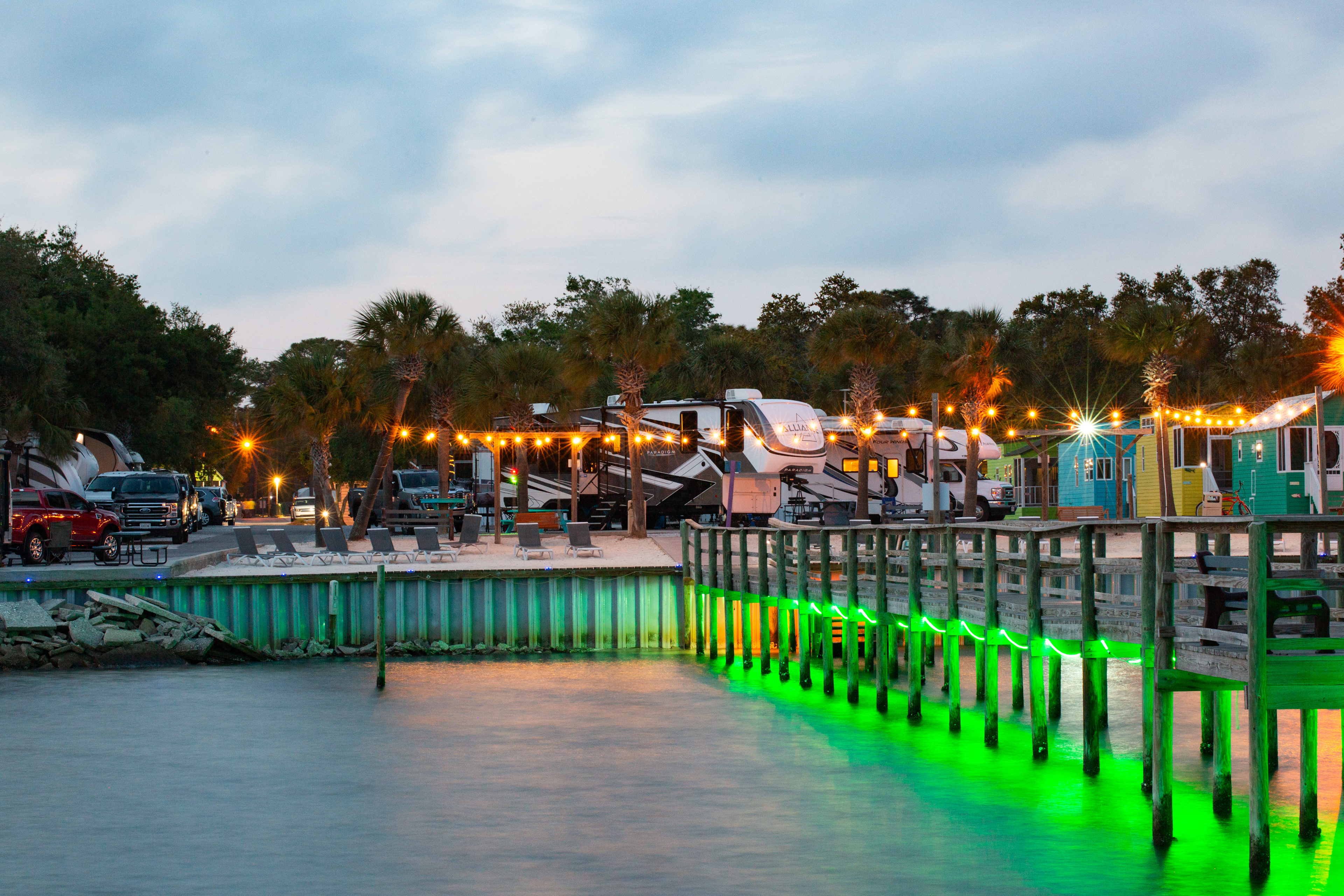
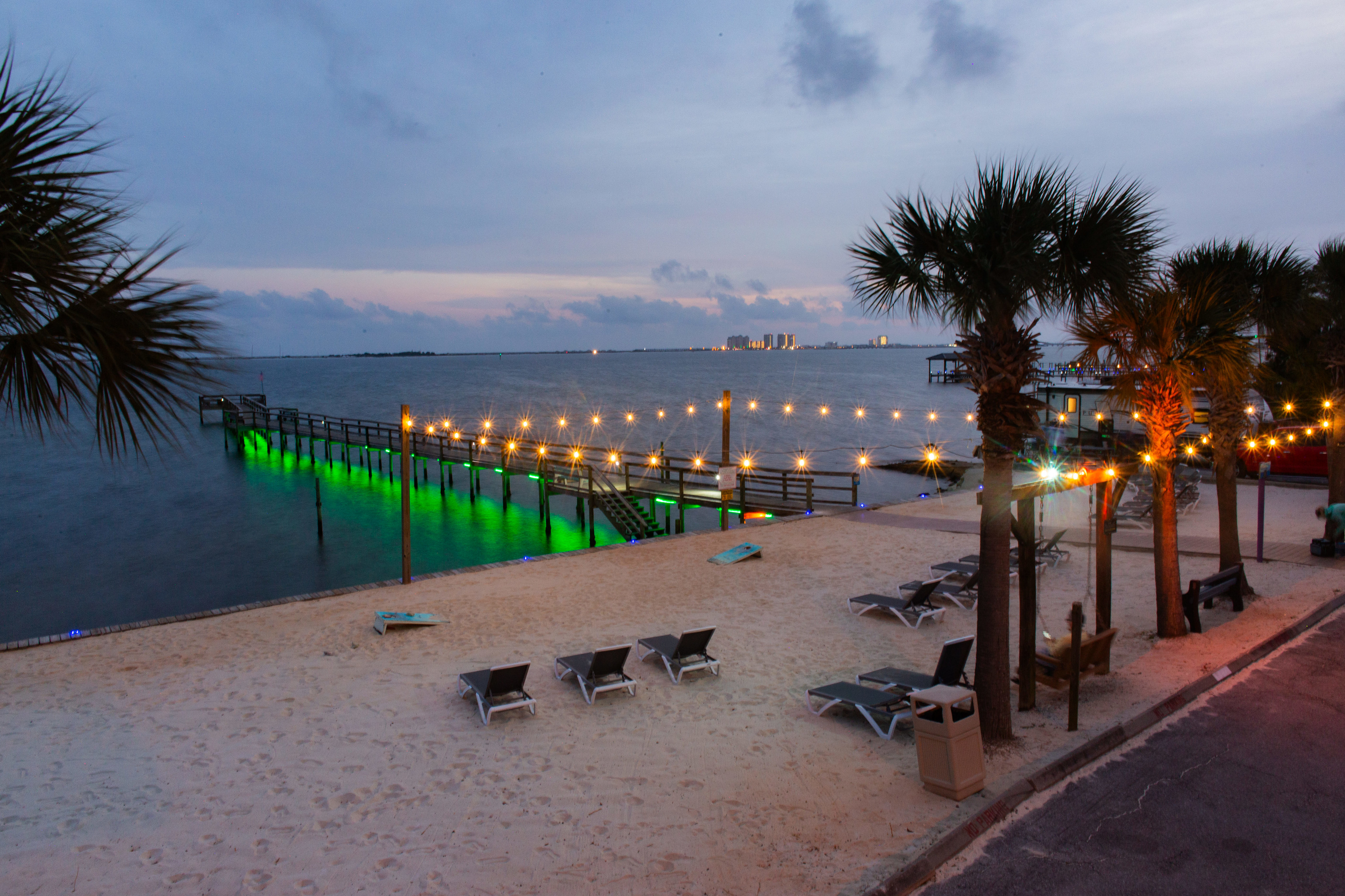
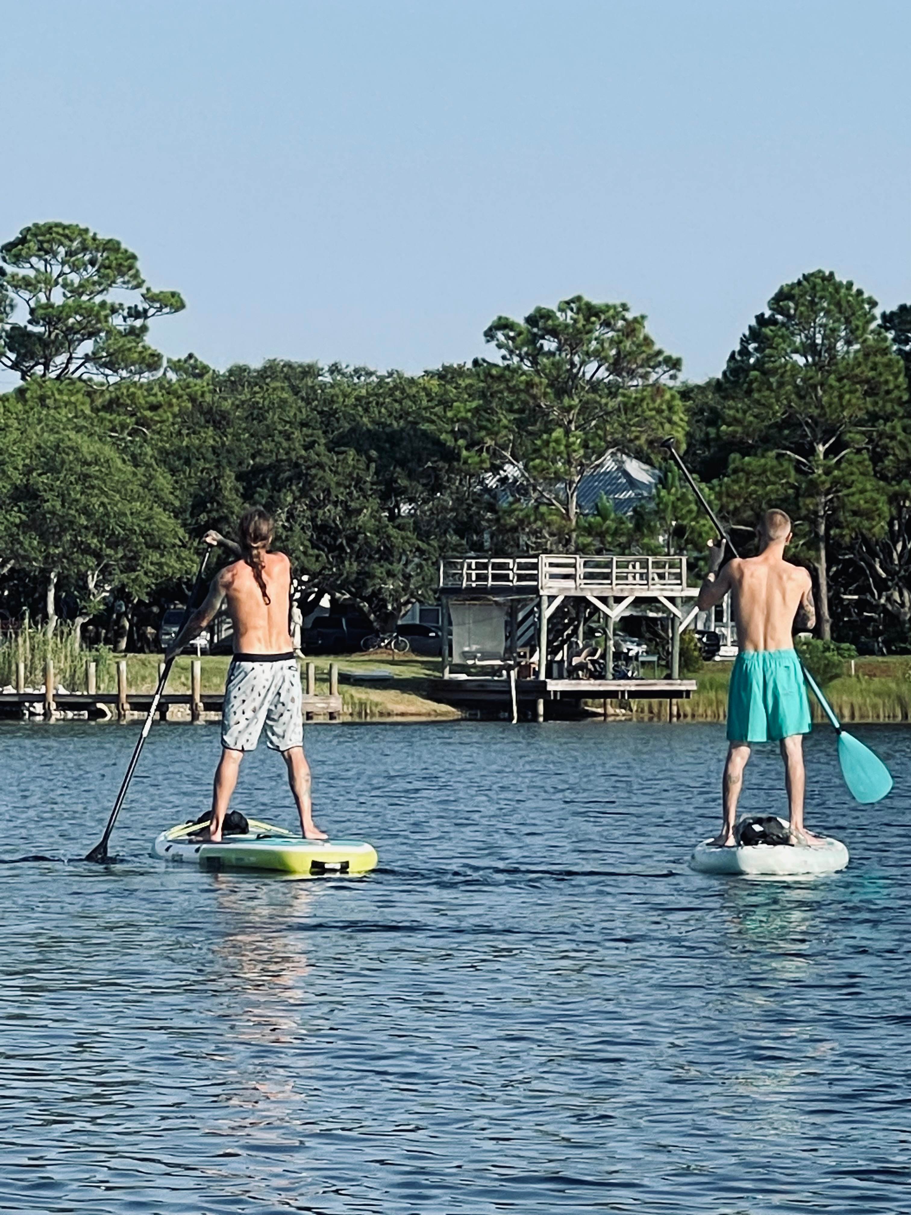
Navarre Beach Camping Resort is located in Navarre, FL. We have 99 rv sites 29 cabins and three travel trailers. We are on the water, the Santa Rosa Sound, it is an intercoastal water way. We are a ten minute drive to Navarre Beach. Fishing, boating, kayaking, paddle boarding are fun things to do in the area.
Learn more about this land:
Back-in standard sites throughout the park have full hook-up and will accommodate up to twenty five foot campers. You park your RV on a sand, dirt pad, you have a concrete pad and a picnic table. Site comes with water, sewer, electric, wifi and cable. Some sites have shade. None of our sites are shaded all day long. Every site is a short walk to our beach.
Pets
Toilets
Full hookups
from
$66
/ night
Florida Caverns State Park
10. Florida Caverns State Park
100%
(12)
33 sites · Marianna, Florida
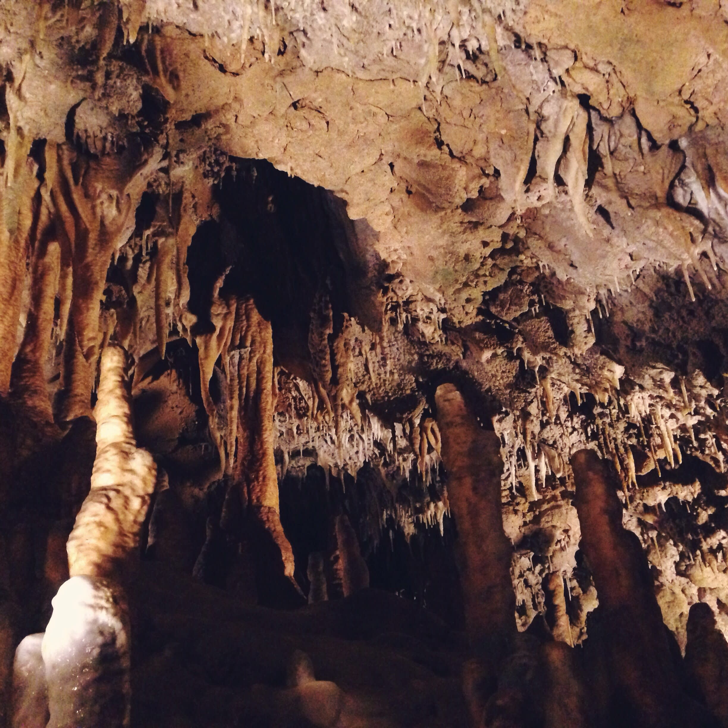
From stalactite-filled caves to forest trails, natural wonders lie under and overground.
Pets
Toilets
Campfires
Grayton Beach State Park
11. Grayton Beach State Park
100%
(10)
55 sites · Miramar Beach, Florida
A unique Gulf Coast paradise with clear jewel waters and rare coastal dune lakes.
Pets
Toilets
Campfires
Henderson Beach State Park
12. Henderson Beach State Park
100%
(12)
54 sites · Destin, Florida
This park is a sundrenched setting for swimming, paddling, and sunbathing.
Pets
Toilets
Campfires
Suwannee River State Park
13. Suwannee River State Park
100%
(16)
29 sites · Lee, Florida
Find natural beauty near one of the largest swamps in America.
Pets
Toilets
Campfires
Royal Springs Riverfront Retreat
14. Royal Springs Riverfront Retreat
98%
(124)
3 sites · RVs · O'brien, FL
Relax with your feet up by the historic Suwannee River under majestic hickory trees, catch some bass from the dock or along the river bank. Walking distance to Royal Springs and boat ramp. Bring your gear to the Spring Diving capital or go spring hopping in a kayak to the many local springs in the area. Have the site to yourself, or bring your friends as there are 3 full hookups (30 amp) and one electric/water only as well as beautiful spots for tent camping. Just message me and I'll make the additional site(s) available.
*Please note: due to 3 hurricanes going over us in just over 1 year, the dock and steps were under water for quite some time. We are working on refreshing them, but in the meantime the upper steps are closed. There is an easy path down so it should not affect your enjoyment of the property.
**Inquire about long term rental
Pets
Full hookups
from
$53
/ night
Seagrass Hideaway
15. Seagrass Hideaway
93%
(29)
1 site · Tent, RV · Perry, FL
Private 1.34 acres tucked away on cul de sac, close to Keaton Beach, and marina. We only book one guest at a time, full hook up,
30/50 amp 120v, sewer, filtered potable water, but if traveling with friends, there is room to park a second camper/RV as a boondocking site.
30/50amp, 120v, filtered water and septic
Relax and enjoy the Big Bend area of Old Florida's friendly, fishing, hunting and wildlife community, known for its annual scallop harvesting season. This large private lot, surrounded by mature trees, offers privacy as well as shaded areas, minutes from the serene, unspoiled beach and undeveloped coastline of the gulf. Explore all this beautiful area has to offer.
Pets
Campfires
Full hookups
from
$45
/ night
RV on 30E
16. RV on 30E
97%
(179)
1 site · RV · Port St. Joe, FL
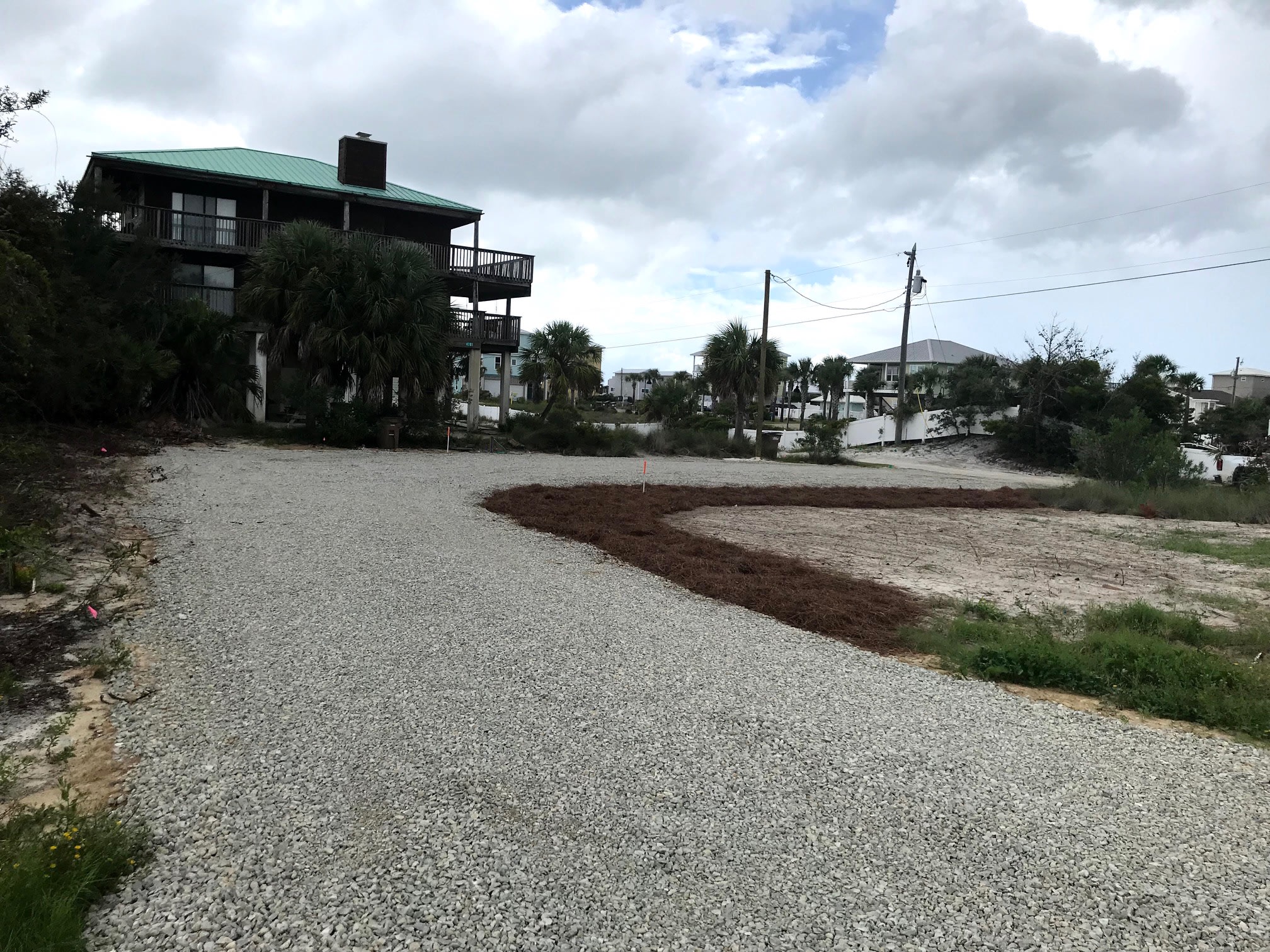
Located on Florida's “Forgotten Coast,” a stretch of pristine white beaches just below the panhandle on the Gulf of Mexico, Cape San Blas is known for its natural beauty, relaxed atmosphere and few tourists. This is a coveted RV site on the North end of Cape San Blas. Water, power, sewage, and garbage are provided. Deeded beach access and St. Joseph Bay just steps away.
Miles of walking and biking paths located across the street.
A short walk or bike ride to The Trading Post, Peachy’s Webber’s Donuts and more.
**UPDATE**
The Trading Post, and Webber’s Donuts complex is temporarily closed.
Award winning Florida state park, T H Stone Memorial Park a short drive away.
Come explore Florida’s forgotten Coast.
Pets
Full hookups
from
$79
/ night
30A Bay Hideaway
17. 30A Bay Hideaway
100%
(195)
1 site · RV · Miramar Beach, FL
Private, gated waterfront estate on the shores of Choctawhatchee Bay. Close to the activities on 30A and the Gulf of Mexico (7 minutes) but secluded enough to feel like you have your own private piece of paradise with amazing sunset views. The bay is full of life: watch mullet jump, catch crabs, watch for dolphins and sting rays. If you enjoy fishing, try night fishing on the dock, too. Bay charters come to the waters around our dock on their excursions! If you bring a boat, Cessna Landing is just under 2 miles away with a very nice boat launch. Tie your boat to our dock for the duration of your visit. Boating, paddle boarding, kayaking, fishing, swimming, sunset watching, bicycling and campfires are a few things to enjoy while at the 30A Bay Hideaway. Sunset viewing deck, bay beach/dock, fire pit and an outdoor shower and sink with hot water and an outdoor mini-fridge are included in the listing. Owners are not onsite during rental periods and the property is limited to one RV site so you can be sure you will have the property all to yourself!
Pets
Full hookups
from
$114
/ night
Gulf Coast RV Site
18. Gulf Coast RV Site
100%
(58)
2 sites · RVs · Perry, FL
This is a private/ quiet site, away from the hustle and bustle. Take some time to enjoy the salt air along with picturesque sunsets. Launch a kayak or paddleboard. Keaton Beach is 1 mile away and Adams beach is about 4 miles north. Walter "B's" store on Beach Rd. has a small restaurant inside. Bike riding from the trail head at Keaton Beach boat ramp is a good way to get in some exercise and enjoy the natural Florida. Steinhatchee is 19 miles south of your location. Beach bums store is .5 miles from our site. Although hit by the hurricane last year, they are in the rebuild stage but still have all your essentials you may need, food truck, bait, fishing supplies, beer, ice, and many other essentials you may need to make your stay enjoyable.
Learn more about this land:
Pull up your RV, View stunning gulf sunsets, 1/2 mile to Keaton Beach boat ramp. General store 1/4 mile. 20 minutes to Steinhatchee. Keaton Beach pier is less than 1 mile. Golf cart friendly, great kayaking and paddling from your place and in the area. Scalloping is June through September. Airboat friendly. Visit the Steinhatchee Fiddler Crab Festival in February.
Choice of 30 or 50 amp electric, sewage, and water. Out door shower, picnic table, 16' x 30' deck with railing, and 2 lights, to help with night time arrivals.
Pets
Full hookups
from
$50
/ night
FloridaBlueSky Camp Sites
19. FloridaBlueSky Camp Sites
88%
(29)
4 sites · RVs · Perry, FL
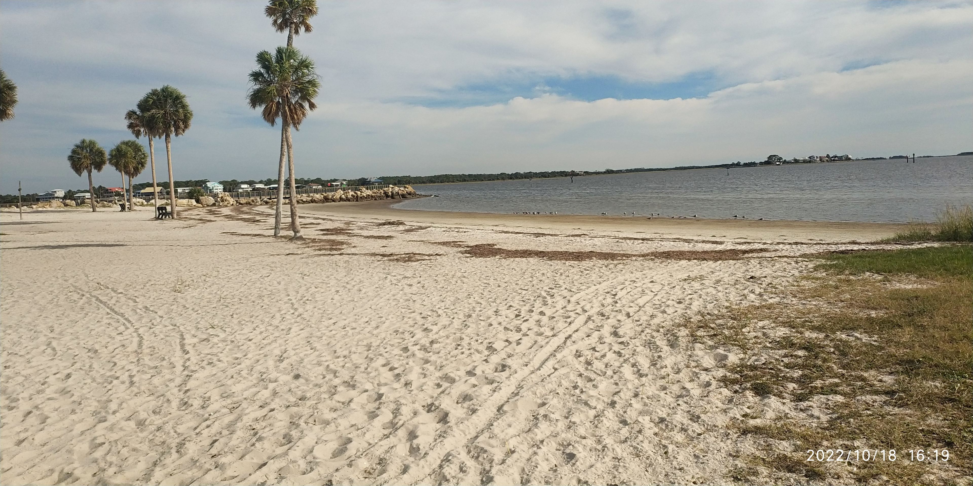
This is the beautiful wild coast of Florida's "Big Bend." Located halfway between Perry to the north and Steinhatchee to the south, Keaton Beach is an outpost town with a laidback, relaxing atmosphere. No motels, no fast food. The wild, natural public beach has a shaded picnic area, restrooms, a boat ramp and a 700-foot fishing pier. These are prime scalloping waters from mid to late summer, and the area is famous for year-round fishing. We recently bought this property with an old hunting cabin owned by a well known baseball coach. The cabin is currently transformed into a residence. We have 4 RV spots available in the front of the property.. Only an 8 minute drive to the sandy swimming beach of Keaton Beach (see pic above) or 20 min walking distance to Adams Sunset Beach. Stop by on your way to South Florida or up north. We do not have a maximum stay..
We have 50/30 and 15 amp sites available. 2 back it, 1 drive in, 1 pull through site. 2 sites are full hook up, 1 site 50 amp electric and water. 1 site 20 amp electric only.
If you see "occupied" in the calendar we probably still have sites available. (we have a total of 4) Just contact us using a "free" day. What can you do in our area? Keaton Beach swimming area, fishing, legally ATV riding on miles of dirt roads, golf carts allowed on public streets, nature trails for hiking and bird watching, Hagen Cove Park is one of the darkest spots in Florida for stars watching, dinner at the Nowhere Grill with the famous Philly Cheesesteak Sandwich, a day trip to Tallahassee with the Railroad Square ( 55 min ) Lafayette Blue Springs State Park (40 min ), St. Marks Lighthouse (55 min )
Pets
Full hookups
from
$39
/ night
Goat House Farm
20. Goat House Farm
97%
(498)
11 sites · Tents, RVs, Lodging · Tallahassee, FL
Goat House Farm is a 501(c)3 owned micro-farm in a rural area of Tallahassee on the beautiful Lake Talquin. The farm has its humble beginnings in the summer of 2015 with four acres, four goats, and four chickens. Founded on the love of animals and a passion for sustainability, we remain committed to compassionate practices and the most natural care of our land and animals as possible.
As stewards of the land and herd, we believe we have a responsibility to share nature's blessings. We offer several agritourism opportunities on the farm, from farmstays to day visits. Our primary program is to serve area youth with agricultural education and the opportunities to work with our goats. All proceeds from bookings go toward our programming.
It is our goal to create a space where our visitors can have fun and learn about the animals who share that space. We also strive to serve as a valuable resource for first time goat owners. To support that endeavor, we sell chicken eggs, specialty cottage goods, honey, and natural goat milk and honey products. We also sell raw goat milk (for pet consumption only, as per Florida law - Master Feed License #ZOO406).
Pets
Toilets
Full hookups
from
$20
/ night
Recent reviews from the Hipcamp community
J
James
1 week ago
32 ft travel trailer
With pets
Had another great several days here. Beautiful sunsets. Heavy fog at night. Highly recommended.
See more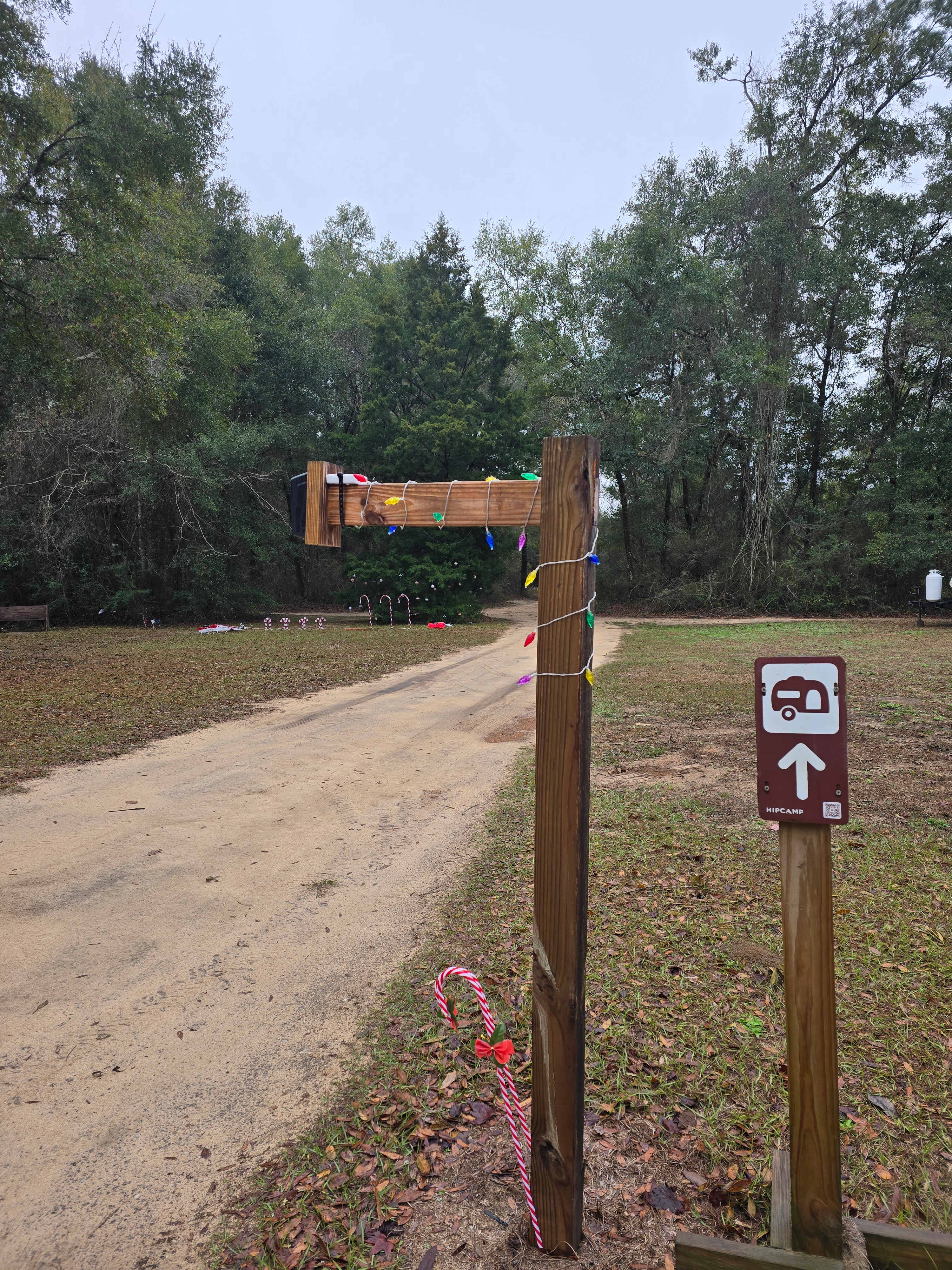
C
Carol
1 week ago
Tent
Thanks to the Reviews here AND the quick Reply to my HipCamp message ~ booked an unexpected getaway. WHAT a great place to start the new year and experience the 1st full moon. The hosts were super accepting and accommodating of my late arrival. It's only an hour away to put your toes in the sand! And that sparkling clean, hot shower is a huge bonus after a day at the beach. Even got a guided tour of the property. Peaceful & private ~ perfection! The hosts' care for the campers promotes an obvious feel of community. CanNOT wait to go back in the spring!
See more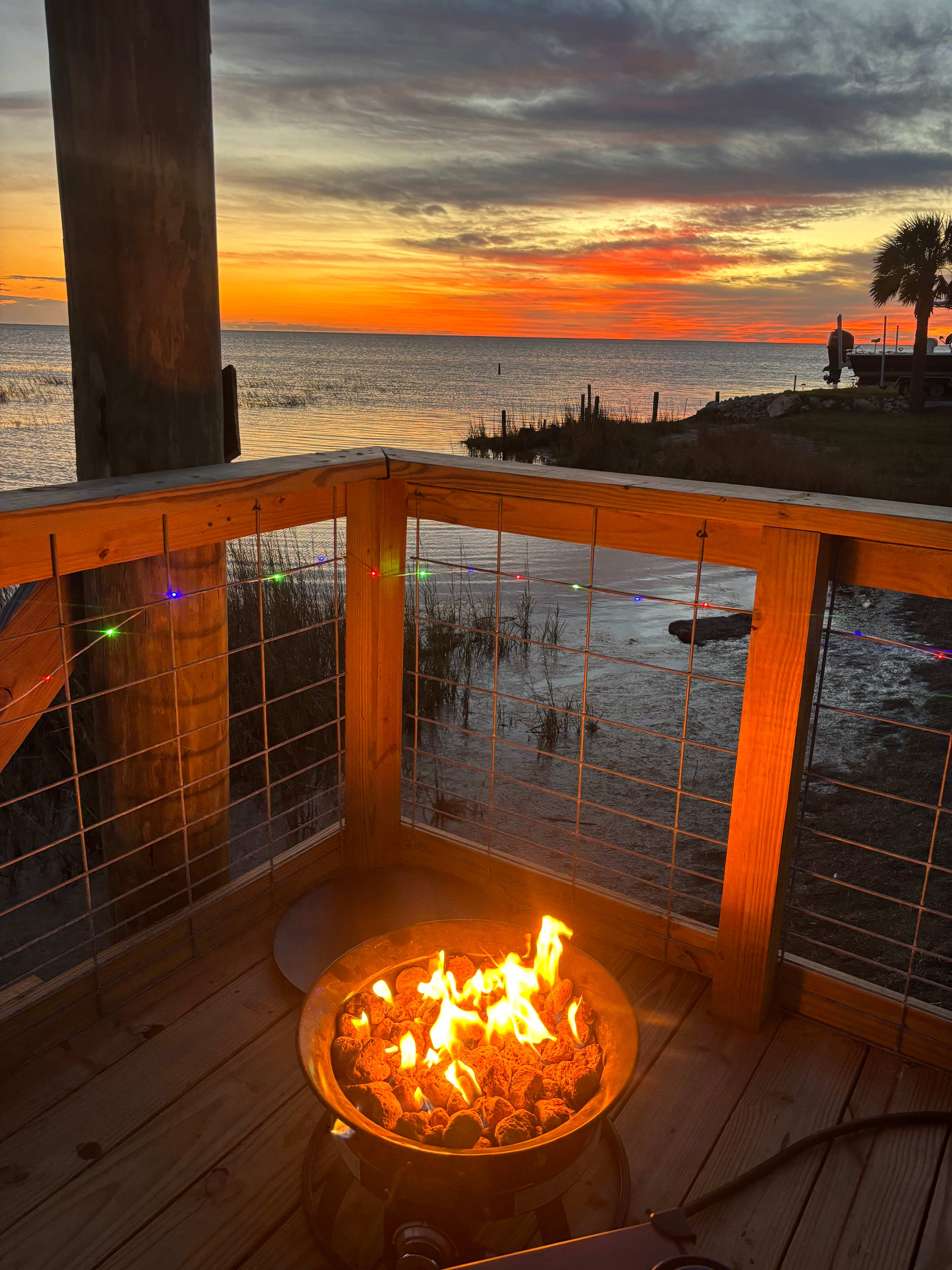
M
Melanie
2 weeks ago
28 ft travel trailer
This site is absolutely beautiful! Quiet, peaceful, and the locals are welcoming. The site is level and well kept. We mostly had the entire area to ourselves the whole week. We will undoubtedly be back! Thank you for sharing your slice of heaven!
See more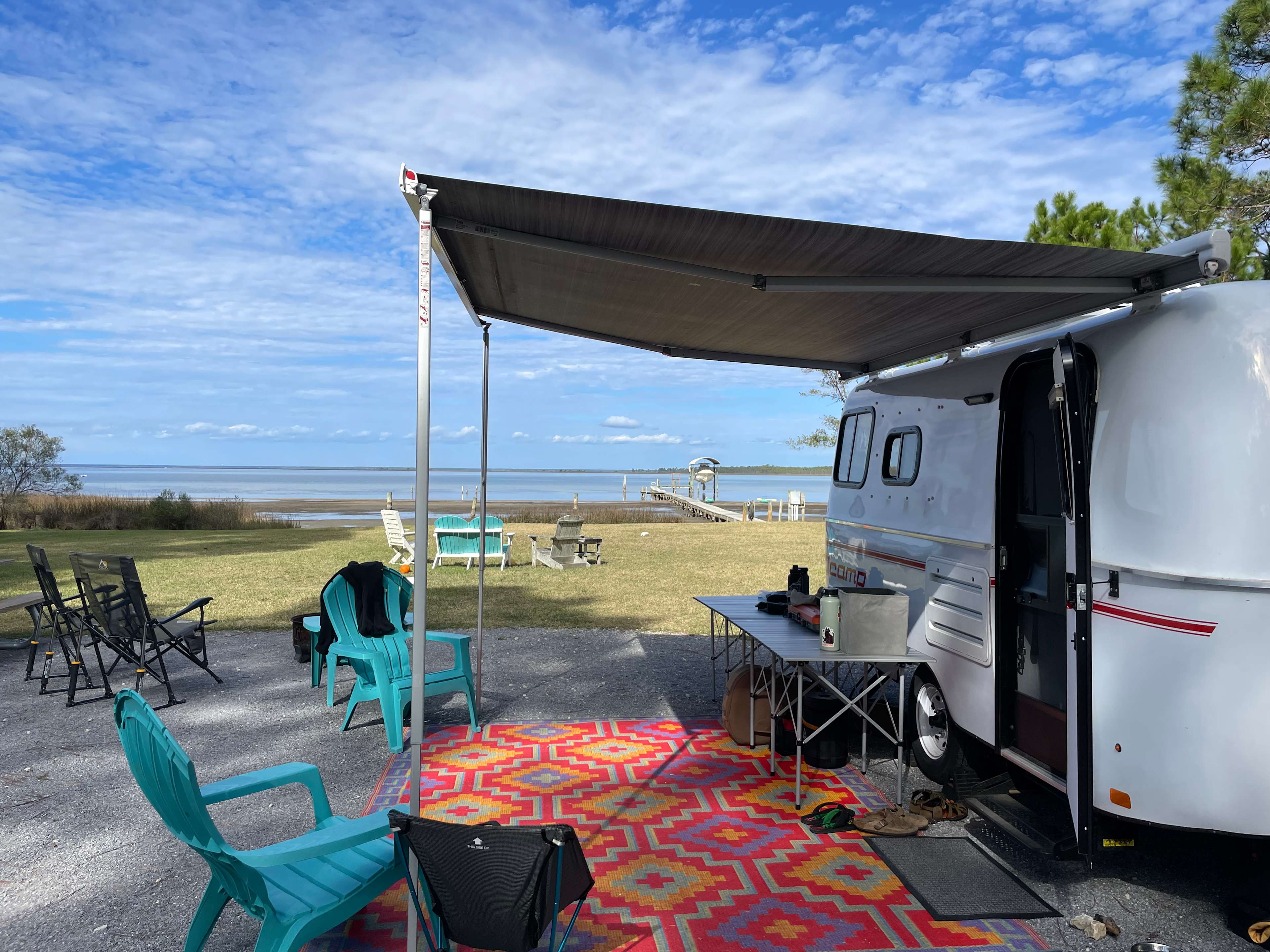
Kristen
2 weeks ago
16 ft travel trailer
With pets
Beautiful property! Fantastic view, Great location. We loved kayaking in the bay and visiting nearby state parks and beaches. The heated shower, outdoor sink, and level RV pad made camping easy! The owners were very responsive and helpful with some questions I had prior to arrival as well.. If we travel to the same area again, we would happily return to the Bay Getaway.
See more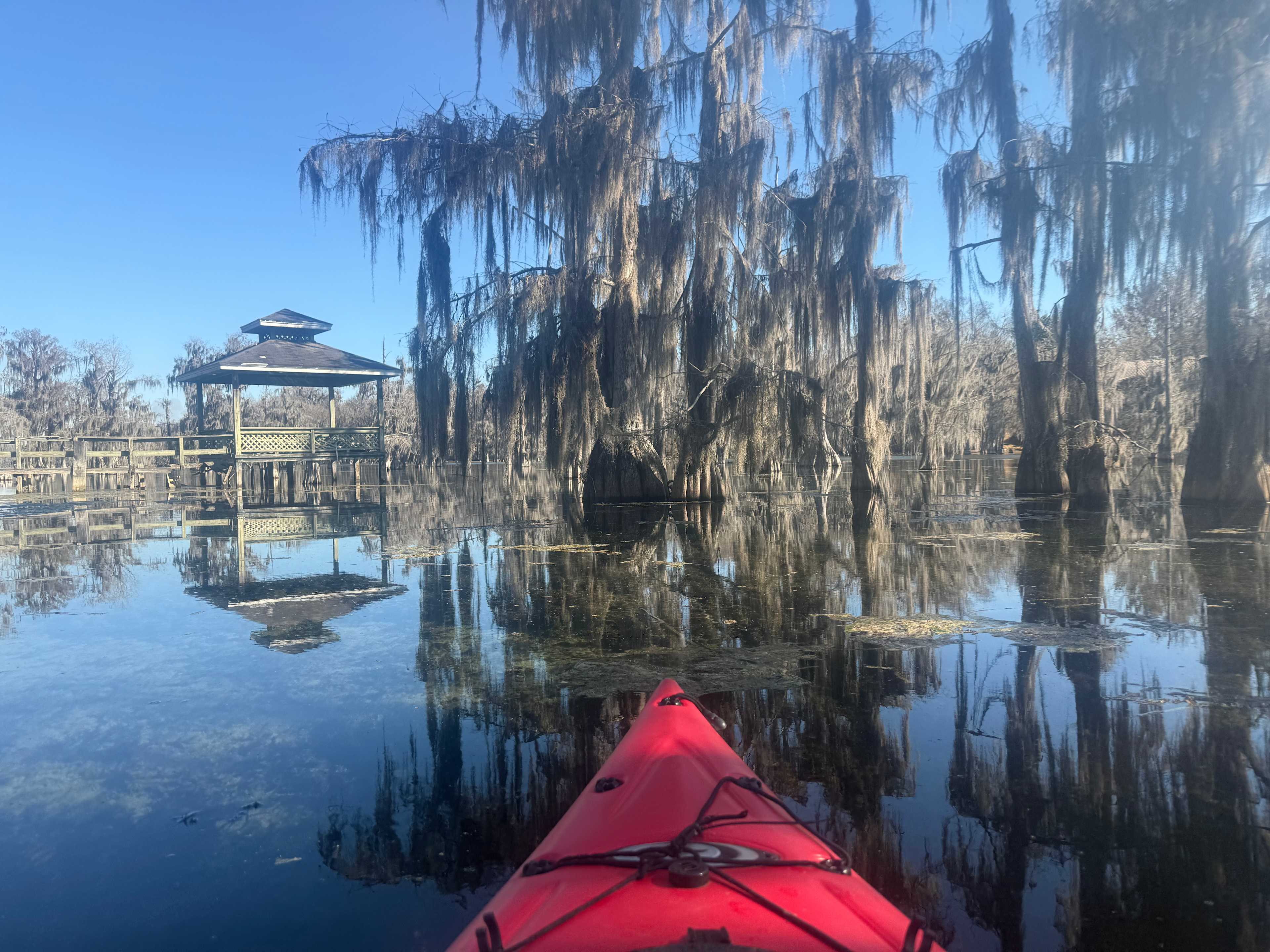
Allison
2 weeks ago
Tent
What a beautiful and serene spot to spend outdoors! We tent camped and the space had everything we needed. The other two spots were far enough away that we didn’t feel cramped. There were two RVs with families in those spots. They were extremely respectful. We had plenty of room. We loved all of the furniture, the fire pit, and the grill set up. We used extra long (2-100 ft) power cords to get electricity to our tent so we could heat up our electric mattress pad. The fog on the river in the mornings was magical. The only thing I would pass on is to bring earplugs for those who are tent camping and are light sleepers. As another commenter mentioned, there are dogs in the neighborhood that tend to howl and bark a lot at night. I don’t think it would bother anyone in RVs, but it is something to think about if you are tent camping. That said, it would not stop me from coming back!! This was an amazing space and I hope to bring my kids back with me next time! I highly recommend driving an hour to Merritt Mills lake which is in Marianna. It is a springfed lake with gorgeous Cypress trees and clear water. We took our kayaks and thought it was one of our best kayaking outings. We also drove an hour south to Saint George’s Island. This camping spot is prime location for exploring.
See more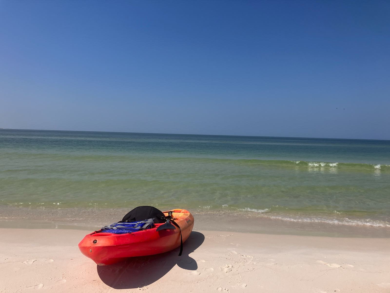
Della
2 weeks ago
22 ft travel trailer
Everything was exactly as described. We were able to ride bikes and enjoy the beach. Everything we needed was there. We enjoyed the community and the surrounding area. I will be back!
See more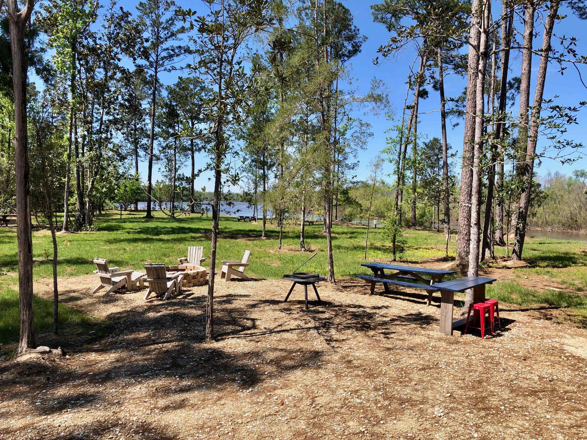
B
Barry
2 weeks ago
30 ft travel trailer
With pets
Excellent all around! The host is very attentive and communicative and the site is amazing!
See more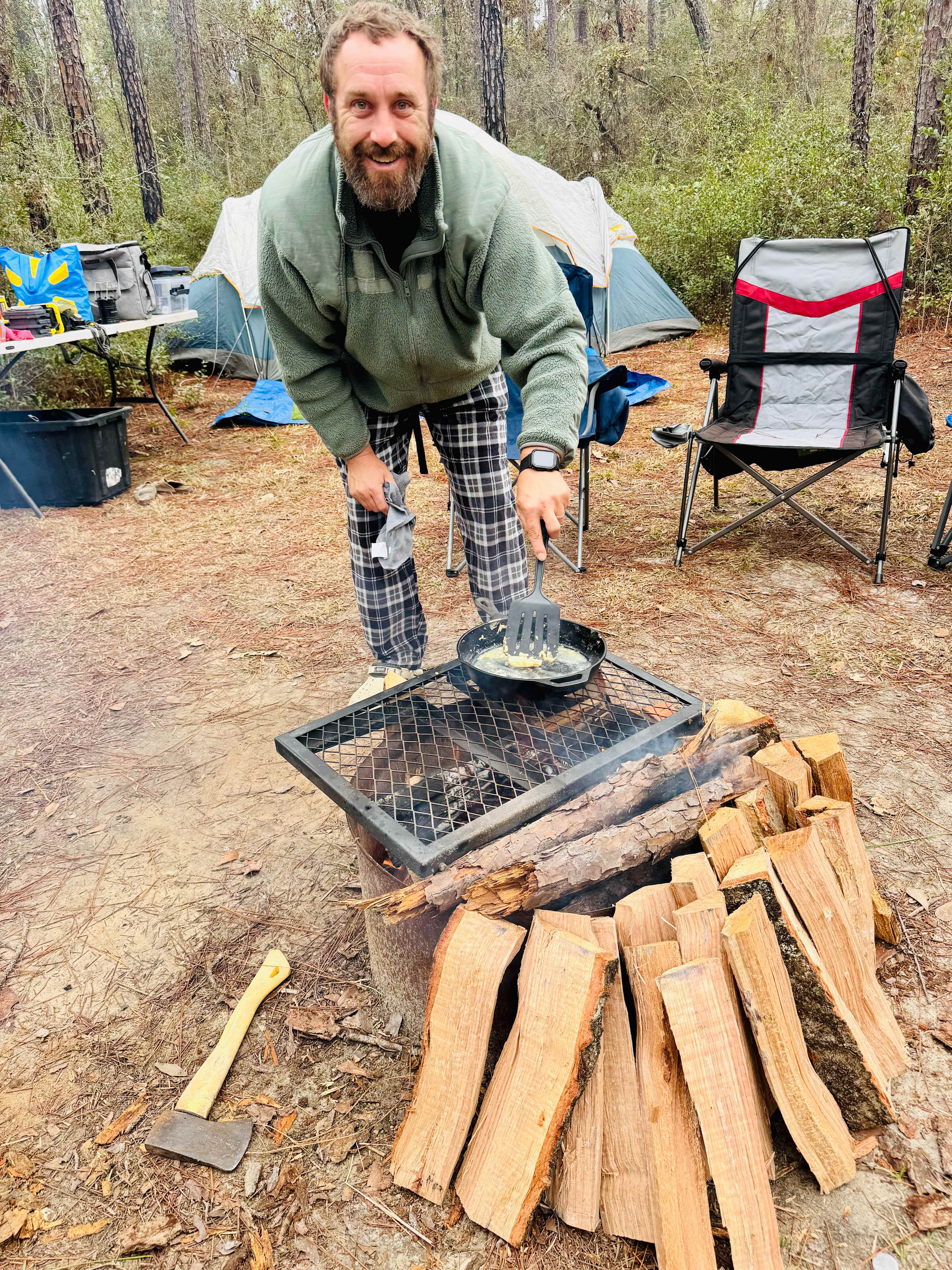
E
Emily
2 weeks ago
13 ft pop-up camper
With pets
⭐⭐⭐⭐⭐
The Wandering Path is true off-grid goodness.
We spent a few days camped along Blackwater Creek, and from the moment we arrived, it felt like the kind of place you come to unplug on purpose. Tall pines, open sky, sandy creek bends, and that deep, steady quiet that only exists when you’re far from roads and routines.
We were there during a cold front with nights in the 20s, and it honestly made the experience even better — longer fires, slower mornings, dogs curled closer, kids wandering freely, and time stretching out the way it should. This is primitive camping done right: simple, intentional, and respectful of the land.
The sites are thoughtfully spaced so you feel tucked into nature, not stacked on top of each other. It’s a perfect fit for off-grid campers, overlanders, tent campers, families, and dog lovers who appreciate space, silence, and stars.
If you’re looking for a place with good energy, room to roam, and a reminder of how grounding it feels to live simply for a few days — this is it. We left feeling lighter and more connected, and we’d return in a heartbeat.
See more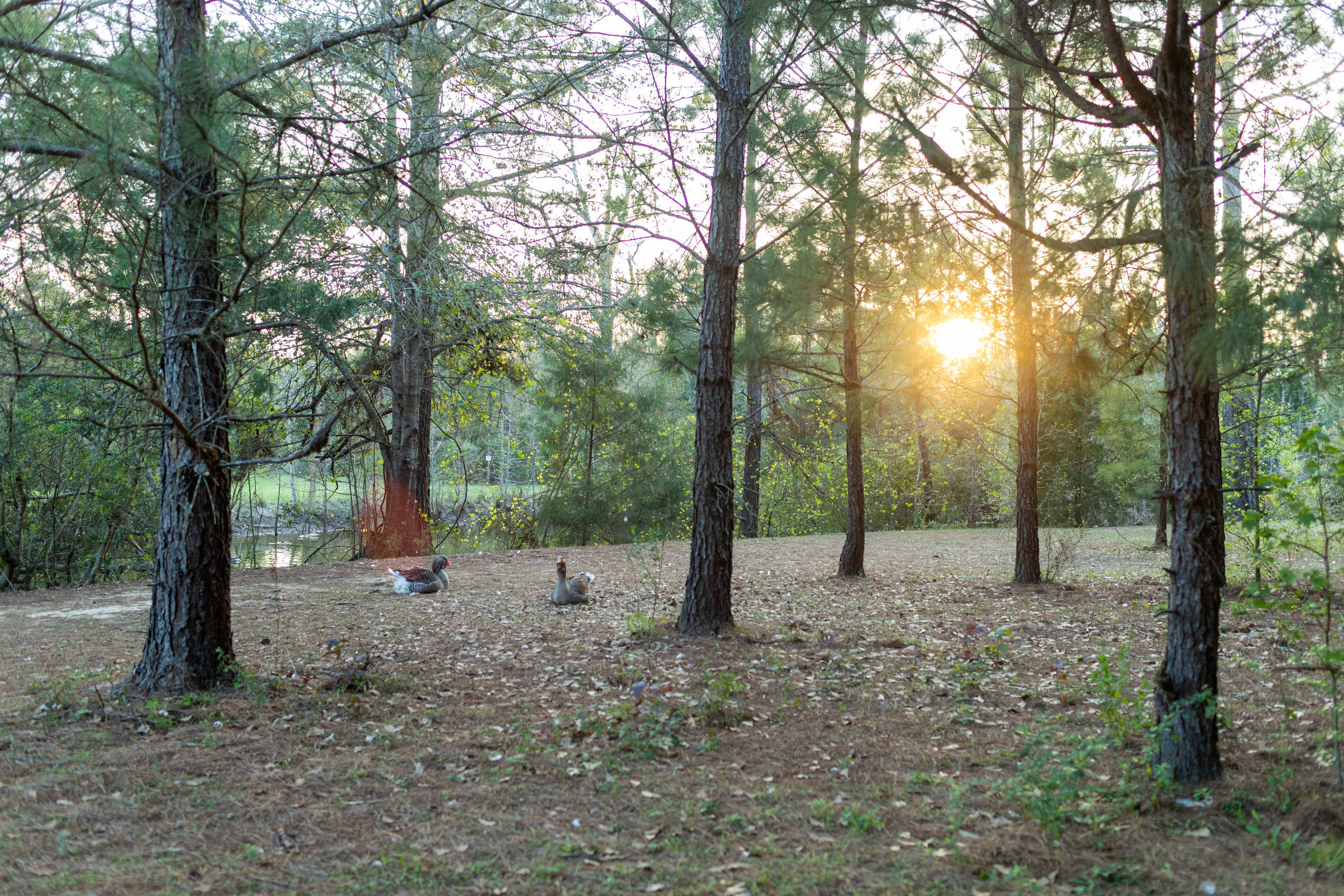
A
Ariane
2 weeks ago
25 ft Class C
With kids
We truely enjoy our stay here. Kids loved all the animals. We watched and learnt about cows being milked and we pat the goats.
See more
R
Roger
2 weeks ago
40 ft travel trailer
With pets
Great get-a-way location. Peaceful & quite. Hosts were very friendly and accommodating. Will recommend and will return.
See more
S
Stacy
2 weeks ago
22 ft travel trailer
With pets
We loved our camping experience! It was quiet, peaceful, and the view was spectacular. Having the use of Kayak’s was an added bonus. Our Mikcy (dog) loved hanging out in the deck with us. just a couple I'd things Id like to point out. Bring food and beverage. Restaurants and groceries are limited and about a half hour away. As others also mentioned an extended sewer hose would come in handy based upon the hookup location. But overall, we really enjoyed and plan to return!
See more
C
Chris
2 weeks ago
Tent
With pets
This is a really unique spot that we absolutely loved. We tent camped here and really enjoyed being so close to the water. There’s plenty of shade and direct water access, though you do need to be careful—erosion makes getting down to the water (and back up) a bit tricky.
We appreciated the bathrooms and the small pavilion; it had just the right amount of essentials and saved us from having to carry extra gear. Overall, a great spot if you enjoy a more natural, waterside camping experience.
See more
K
Krystyna
2 weeks ago
Tent
I loved our tent site! The farm was beautiful and peaceful and would totally come back.
I also enjoyed the presence of the dogs as it allowed me to ensure my security at night! Also the eggs were delicious!
See more
J
Jhenss
2 weeks ago
13 ft travel trailer
Group trip
The place is magic, I have no other way to say it. It is for people that want to be in peace and connected with the nature. Amanda is enjoyable, taking care of you from the moment that you arrive.
See more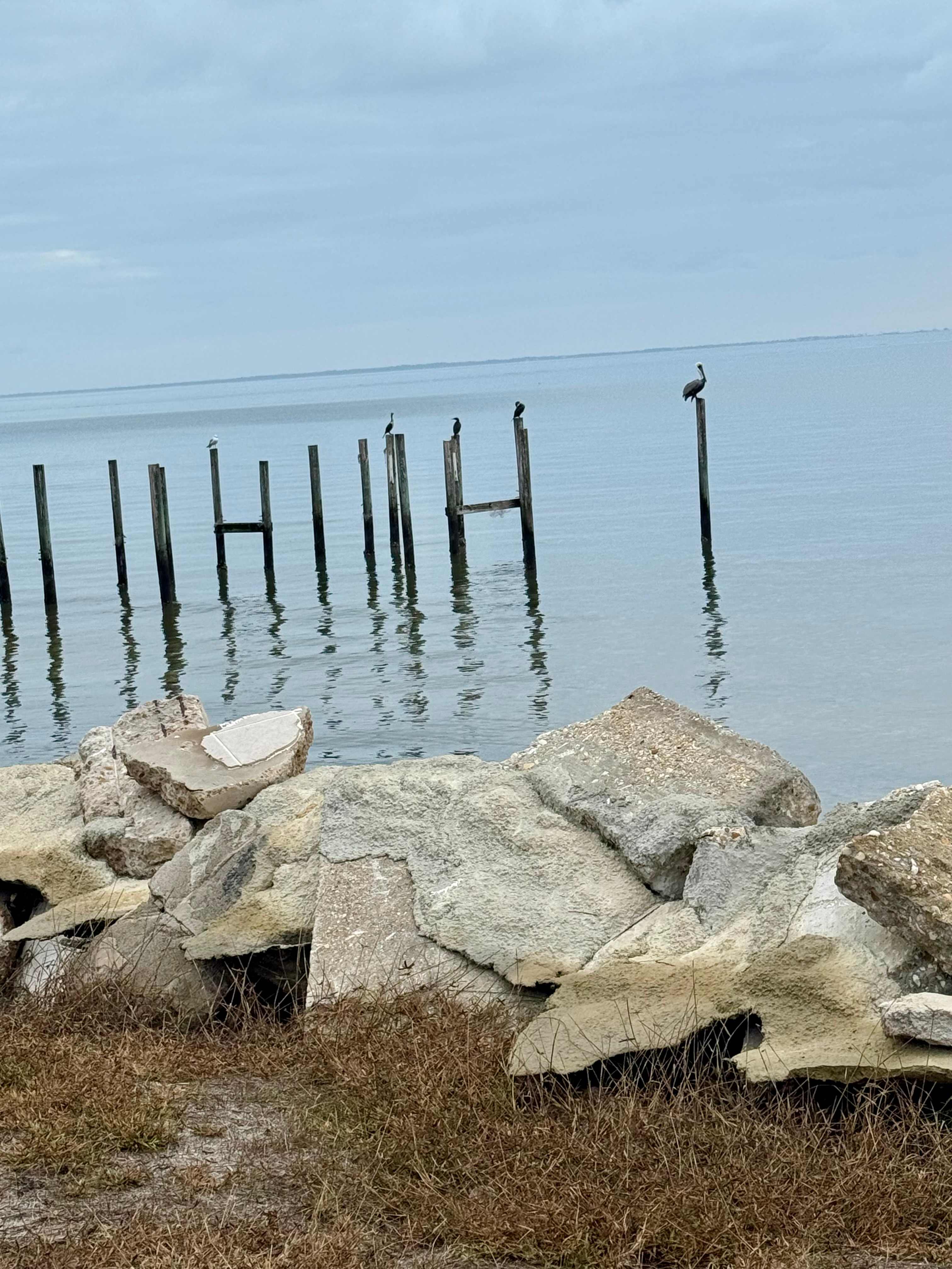
C
Cleo
3 weeks ago
Tent
With pets
My dream to camp on the beach has been met!! Me and my 3 pups had a grand Christmas holiday. Yes, 98 is close to the campsite, but who cares if you camp on the beach! The best part is no one else camp near you. The area is what I call “old Florida”!! No high rises and not swarming with people. I’ll be back
See more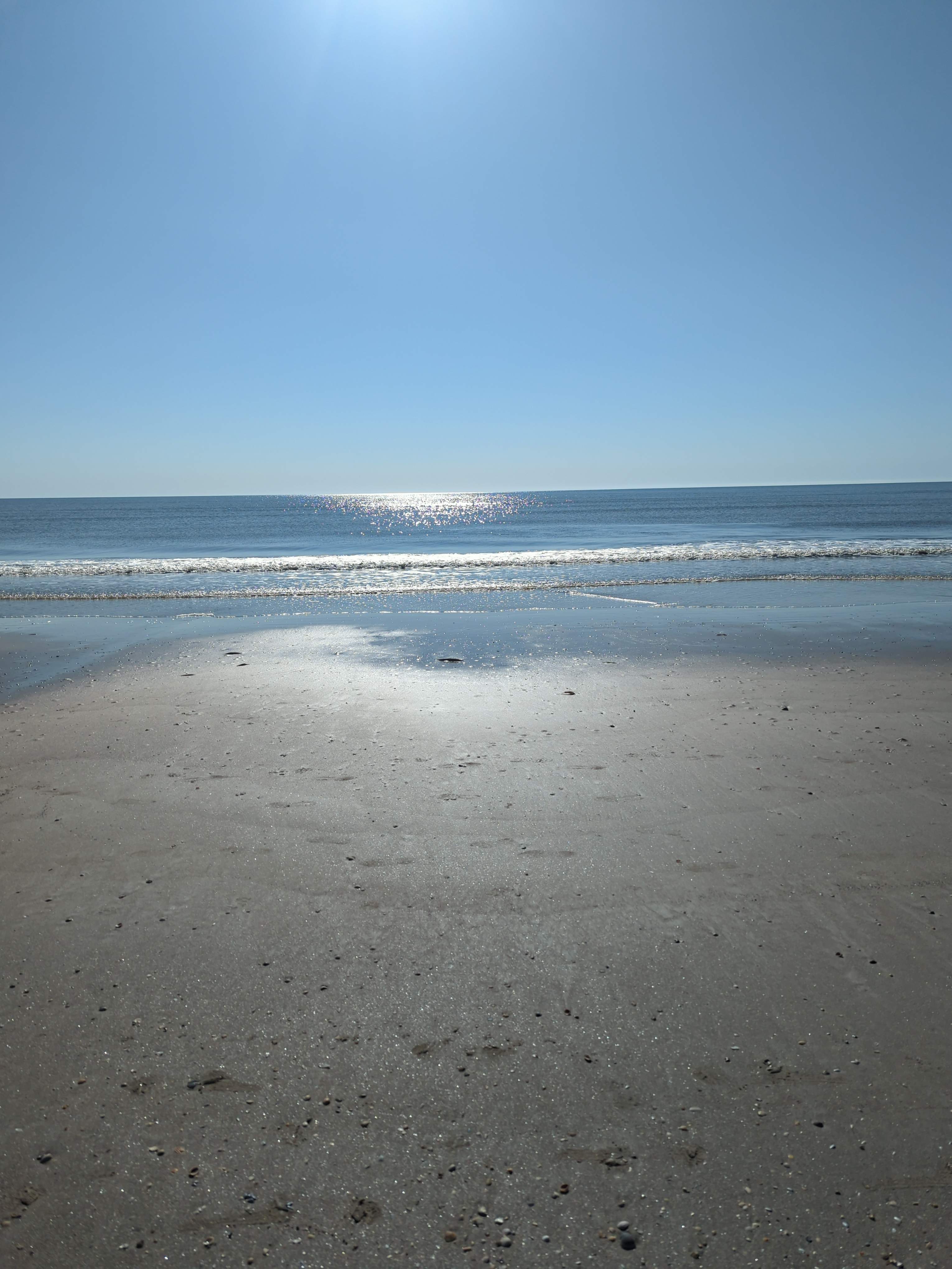
D
Debi
3 weeks ago
35 ft travel trailer
The site was PERFECT. Short walk to the beach, I do recommend getting there in the daylight because there are no lights anywhere. Absolutely peaceful
See more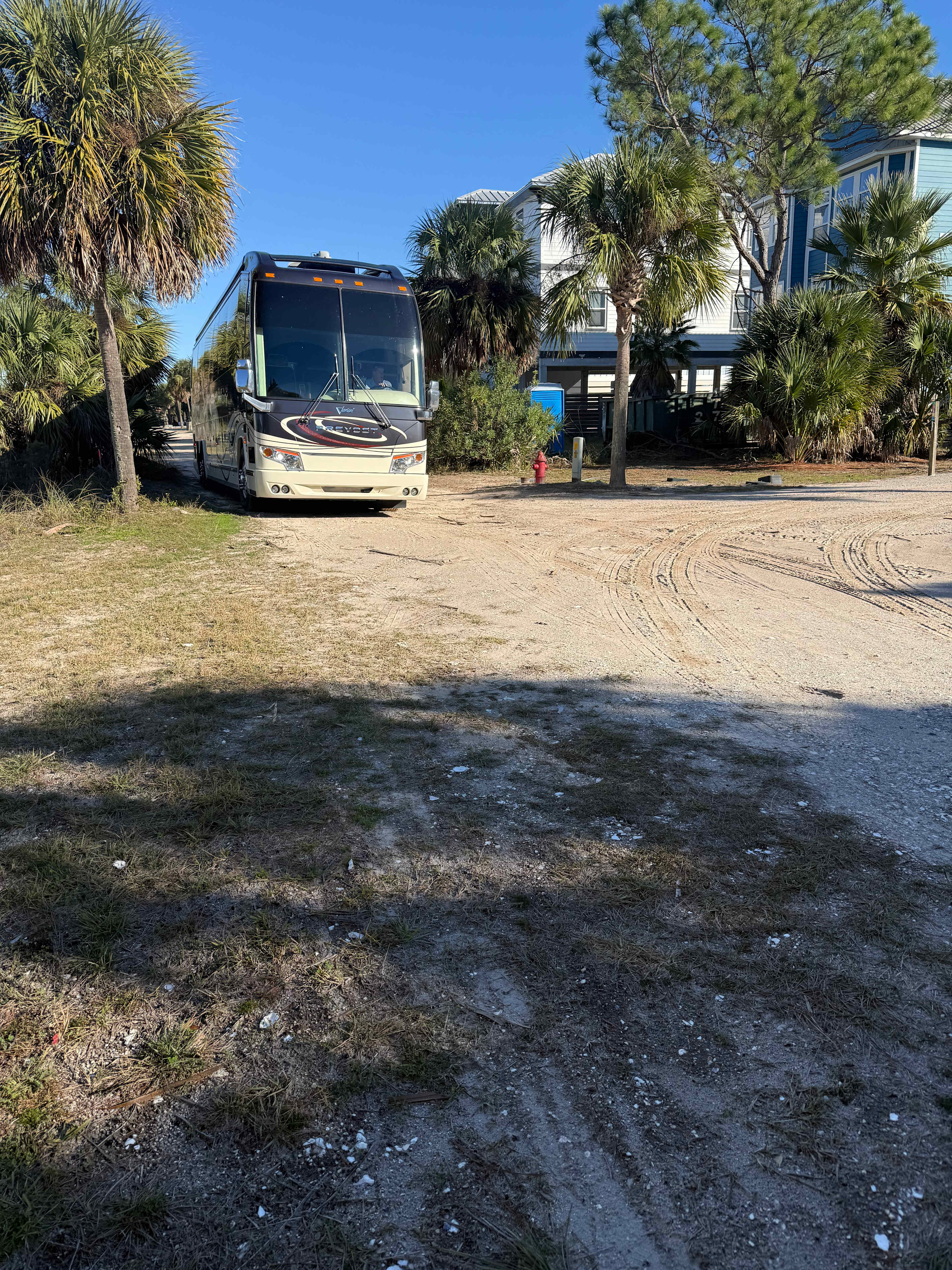
Cindi
3 weeks ago
45 ft Class A
Great private location with no road noise. In nice neighborhood. Close to beach. Can’t wait to come again!
See more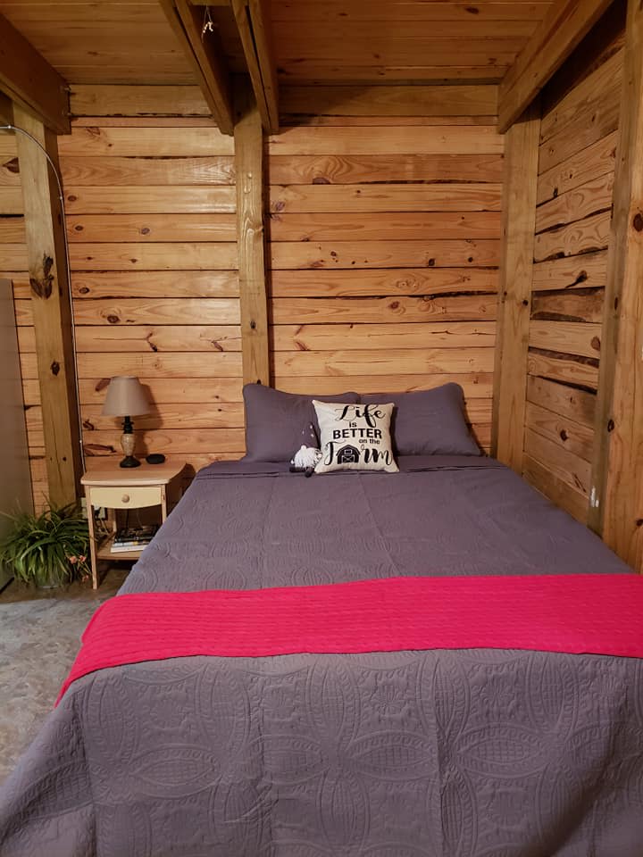
C
Claudia
3 weeks ago
Weekend Trip to Goat House Farm
I loved the rustic cottage, extremely serene. Enjoyed petting the goats and taking walks to the lake. Melissa (the host) was very nice and informative. always a text or call away. Will be coming back!
See more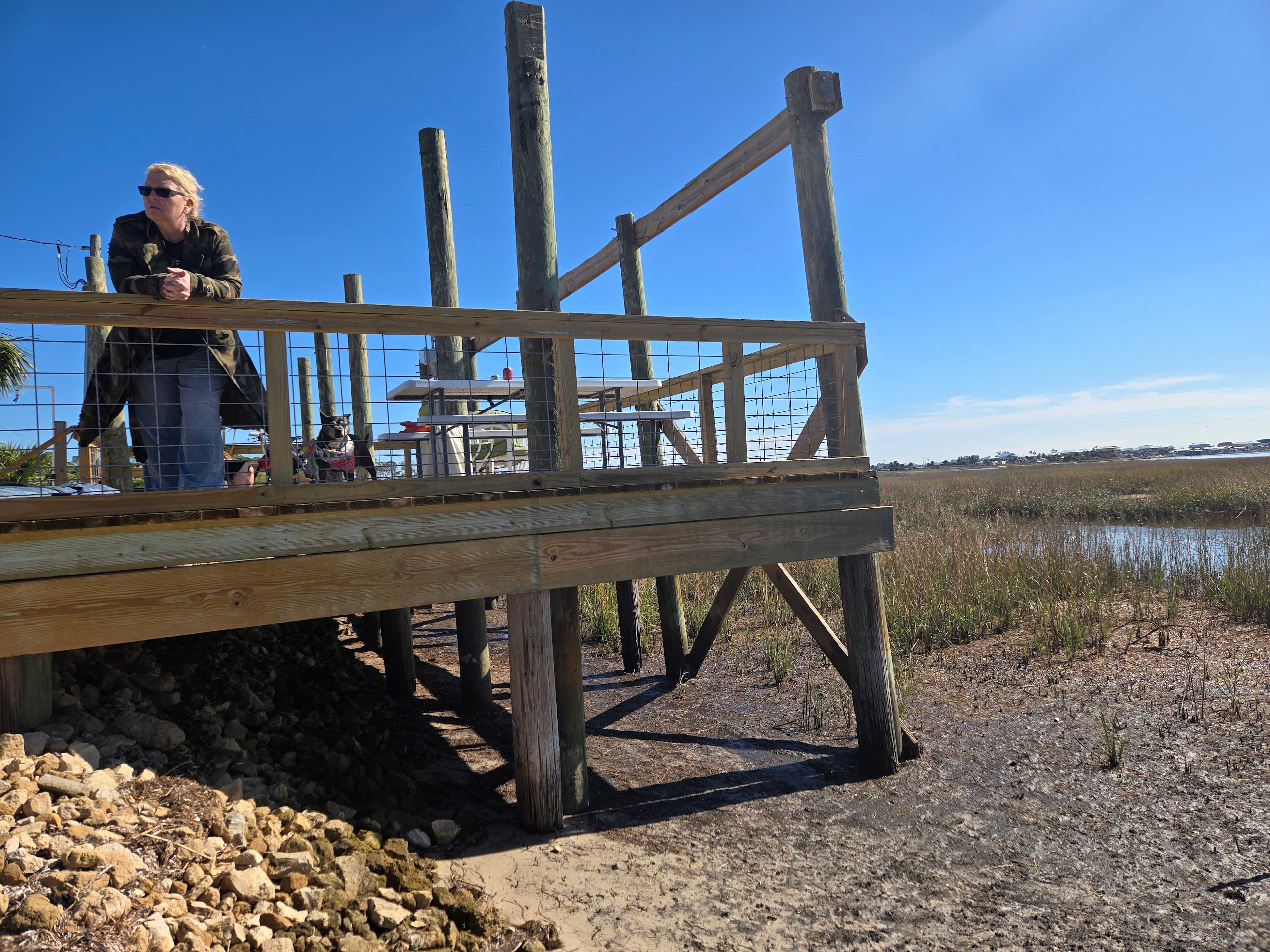
Tommy
December 2025
20 ft pop-up camper
With pets
Beautiful spot on Gulf of America!
Awesome sunsets and huge deck to enjoy them from! Secluded area with several other private lots on same street. Nearly 360° waterview, tons of birds, white pelicans(winter visitors), egrets, herons, ospreys and even a bald eagle!
See more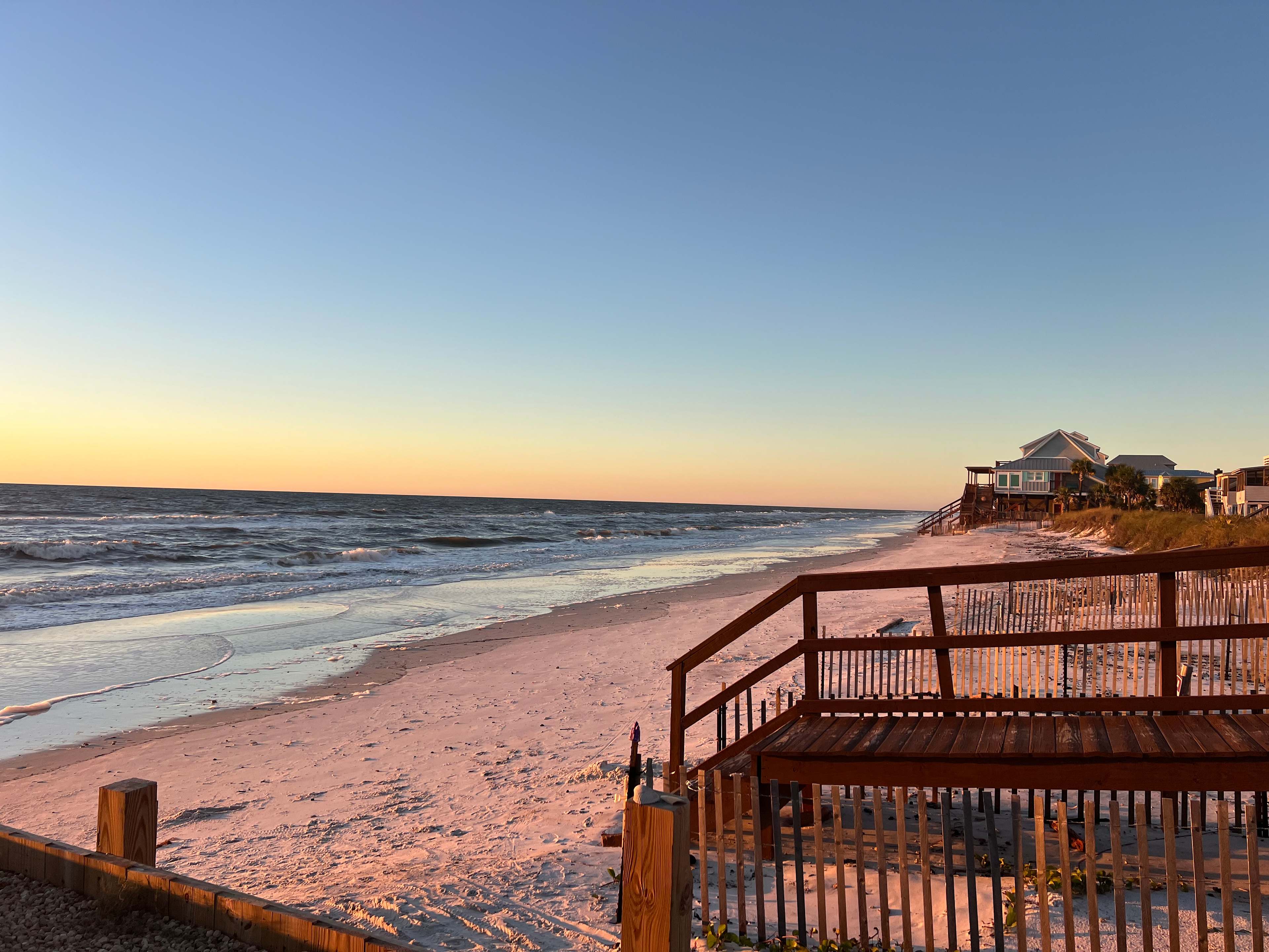
Mace
December 2025
24 ft travel trailer
Great spot beautiful beach! Jen is awesome very thoughtful! Will be back again!
See more