96% (2.5K)
Top-rated campgrounds


96% (2.5K)
Top-rated campgrounds
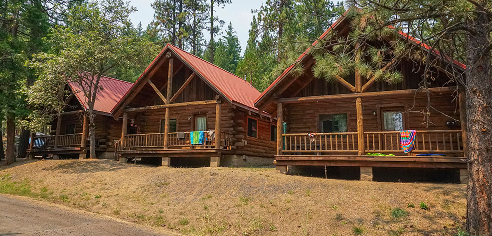
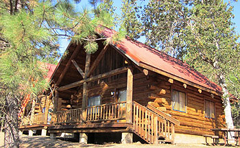
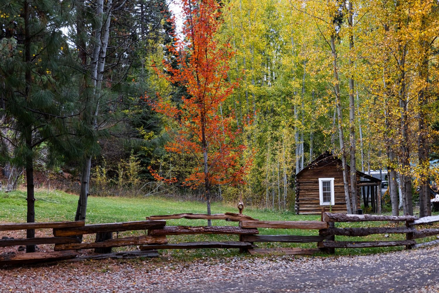
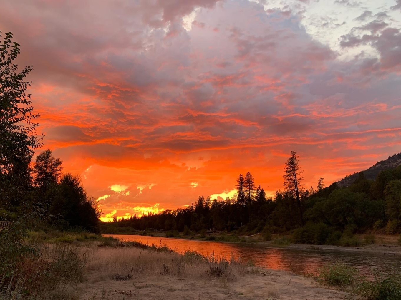
Camper favorites near Shady Cove
Top-rated campgrounds reviewed by the Hipcamp community.


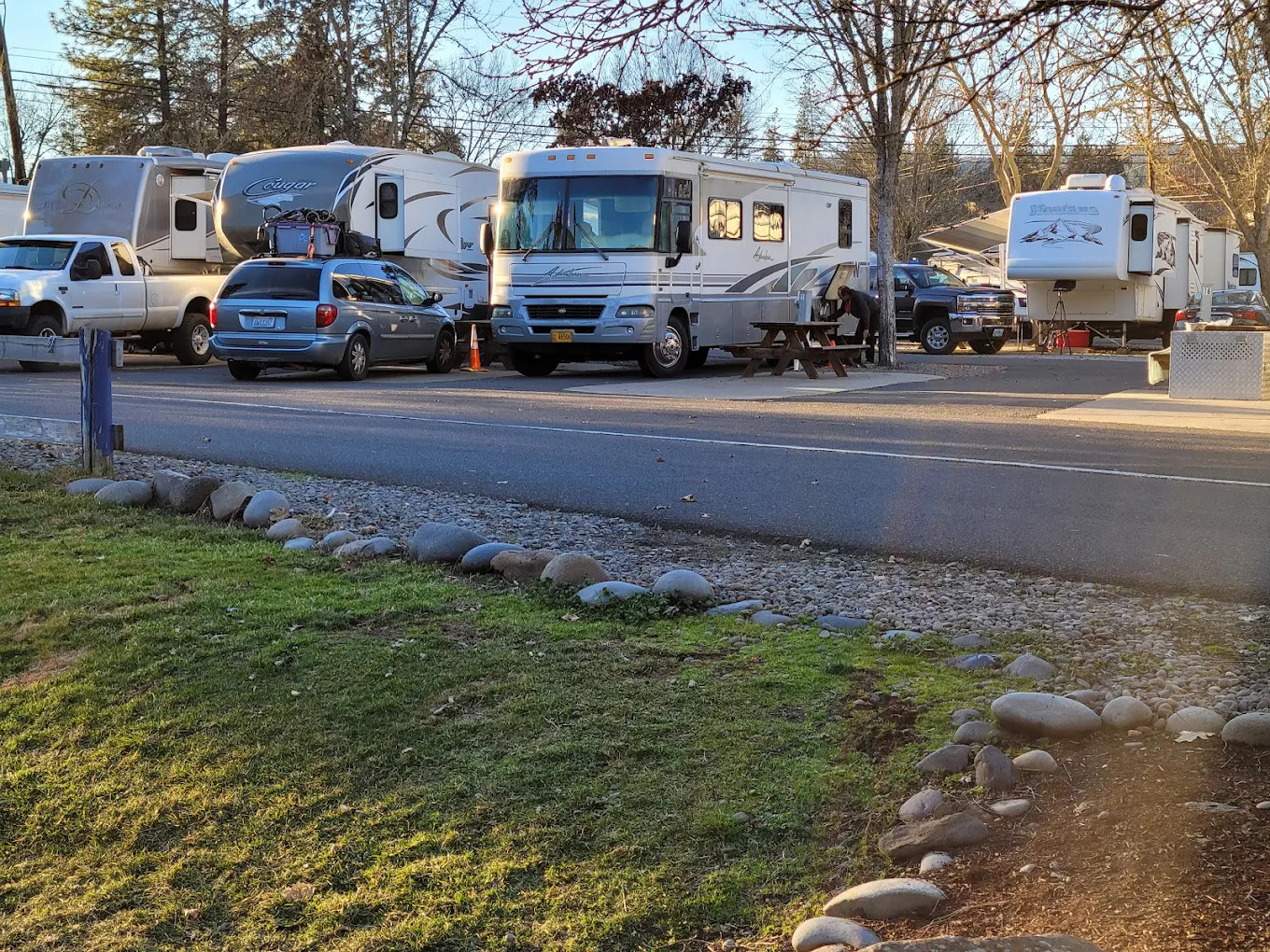
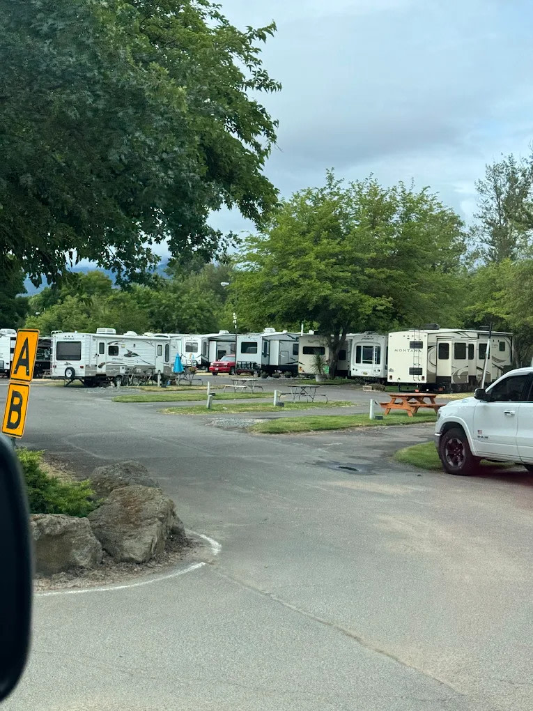
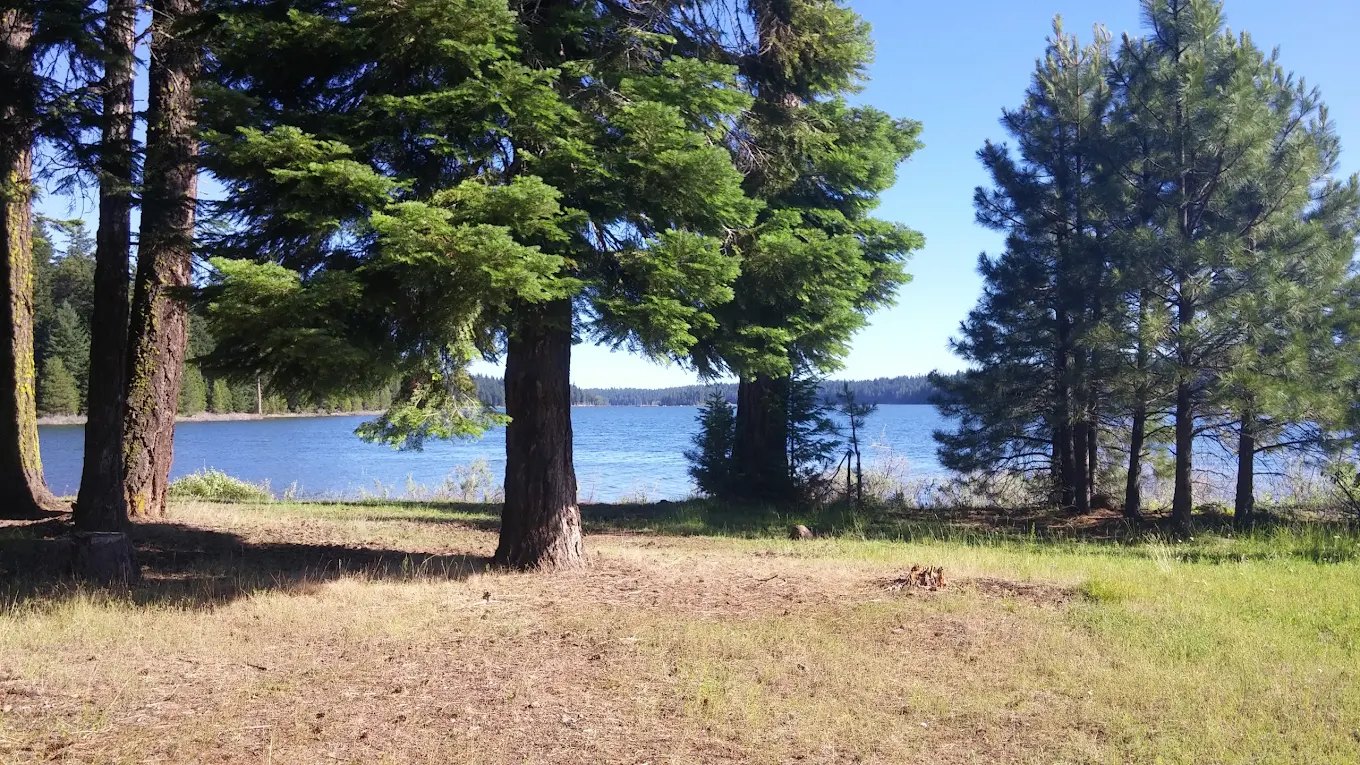
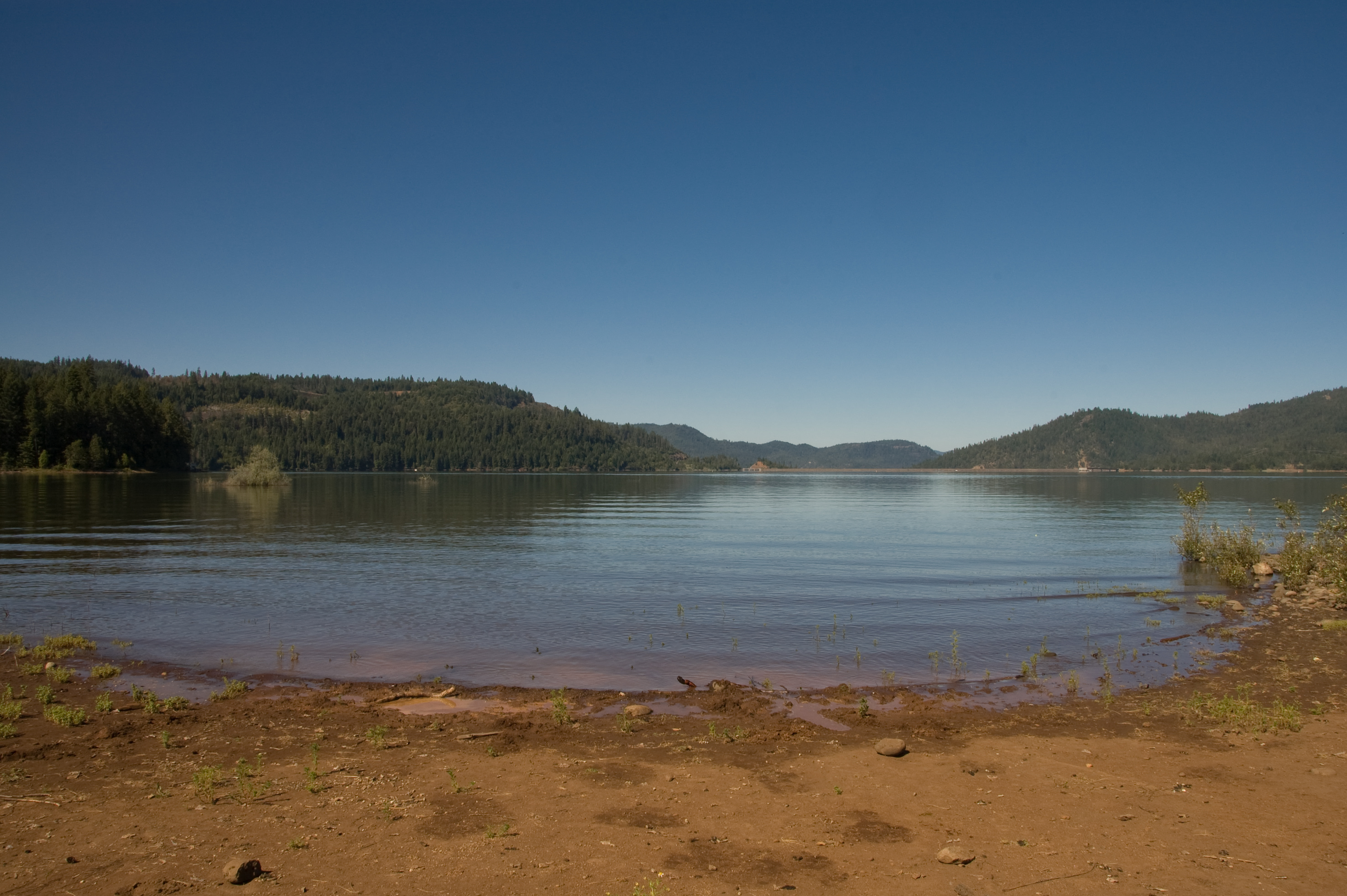
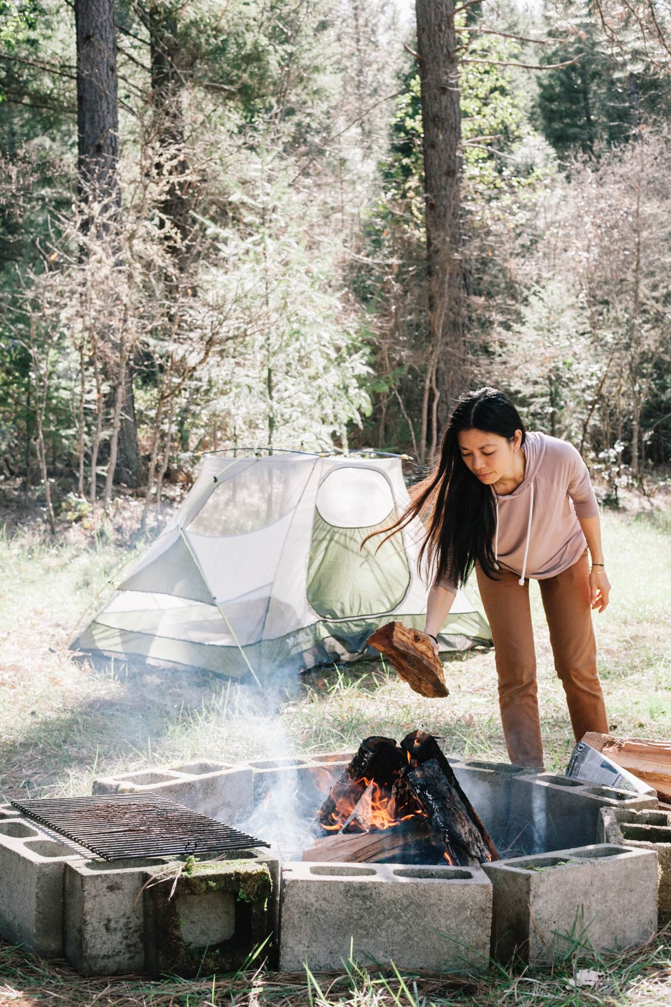
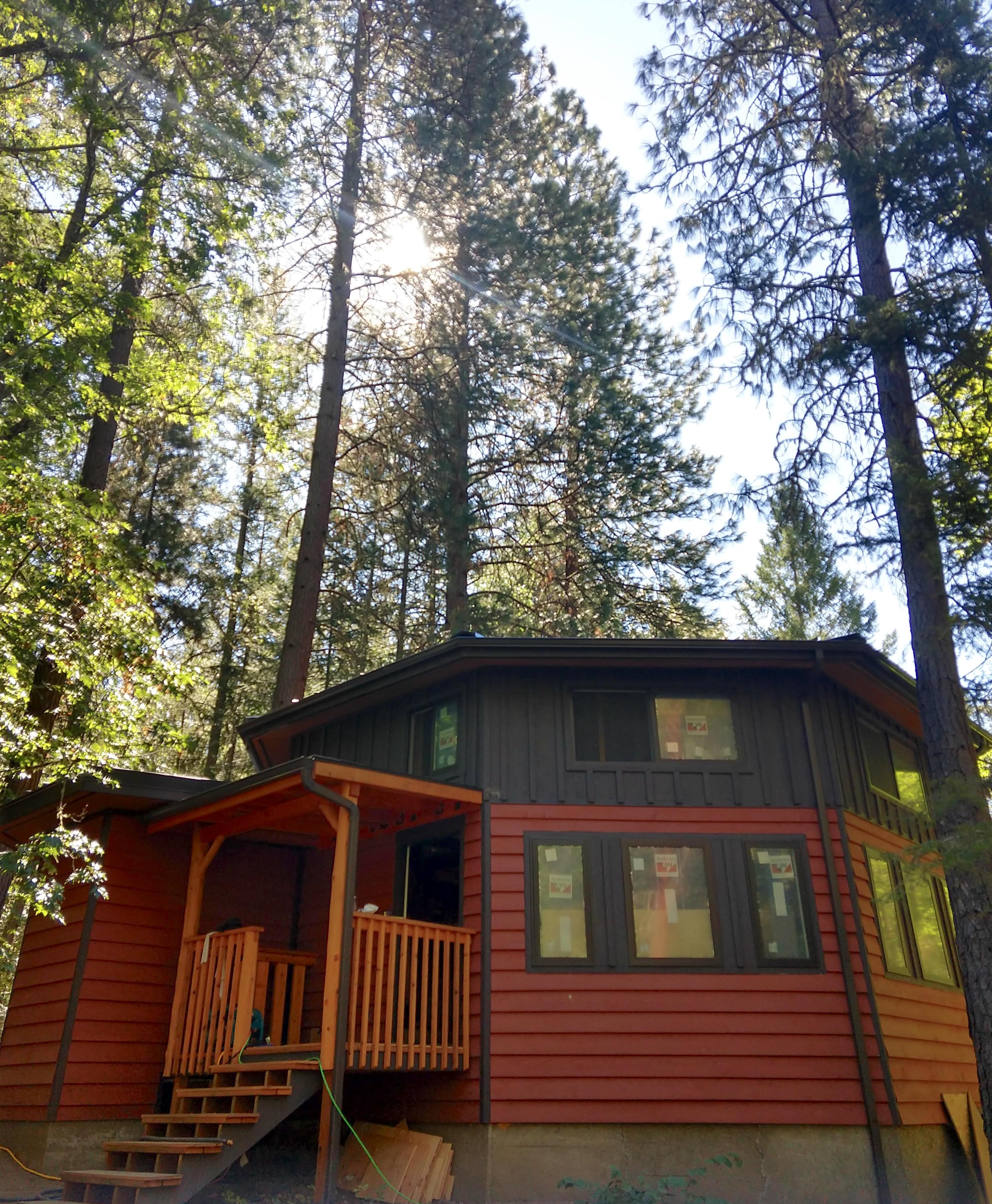
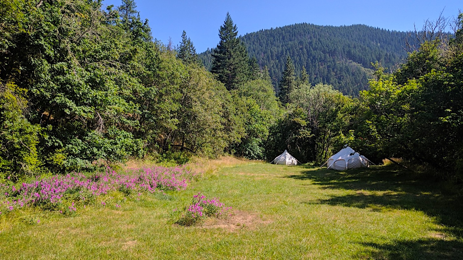
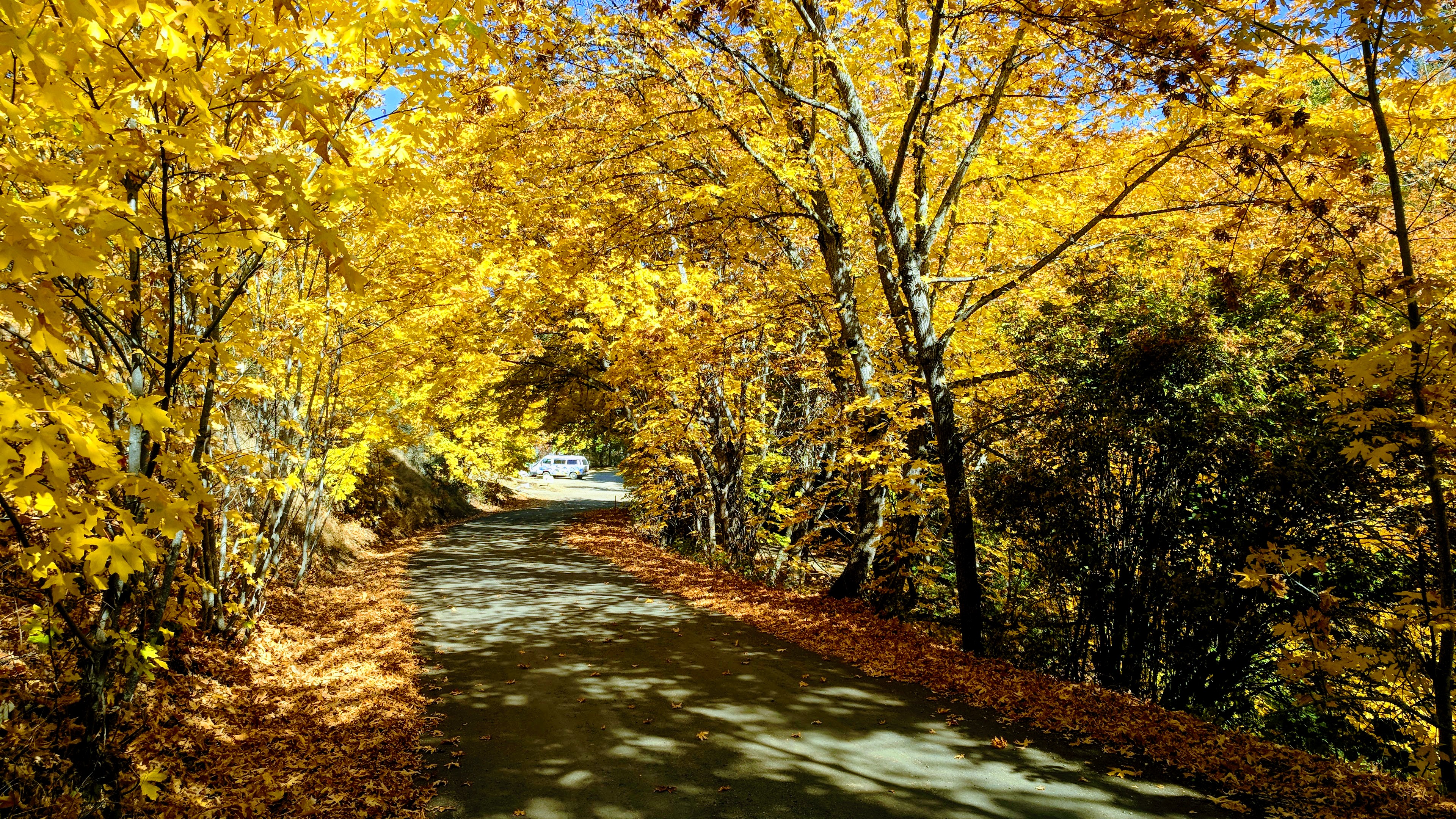
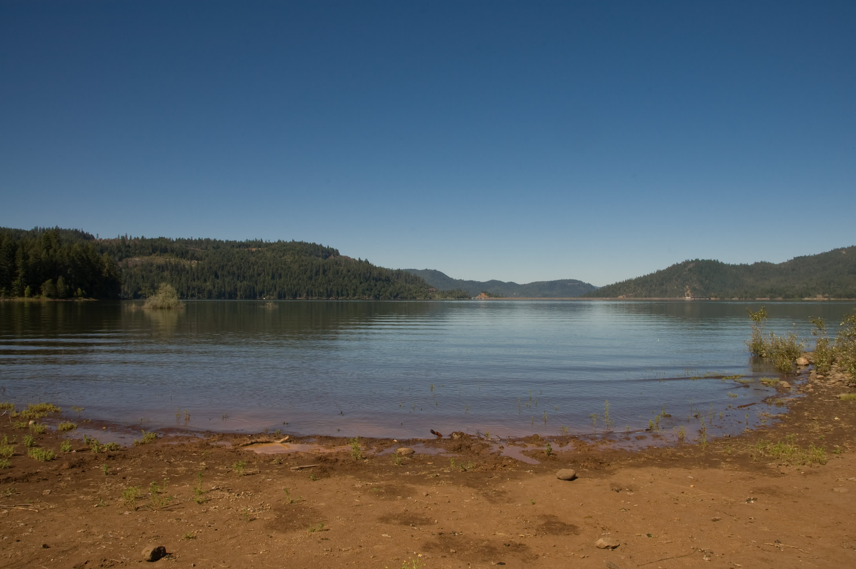
Public campgrounds near Shady Cove
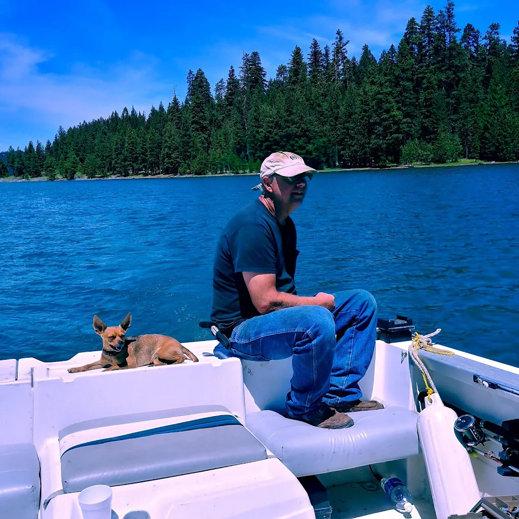
Stories from the community
Justin
2 weeks ago
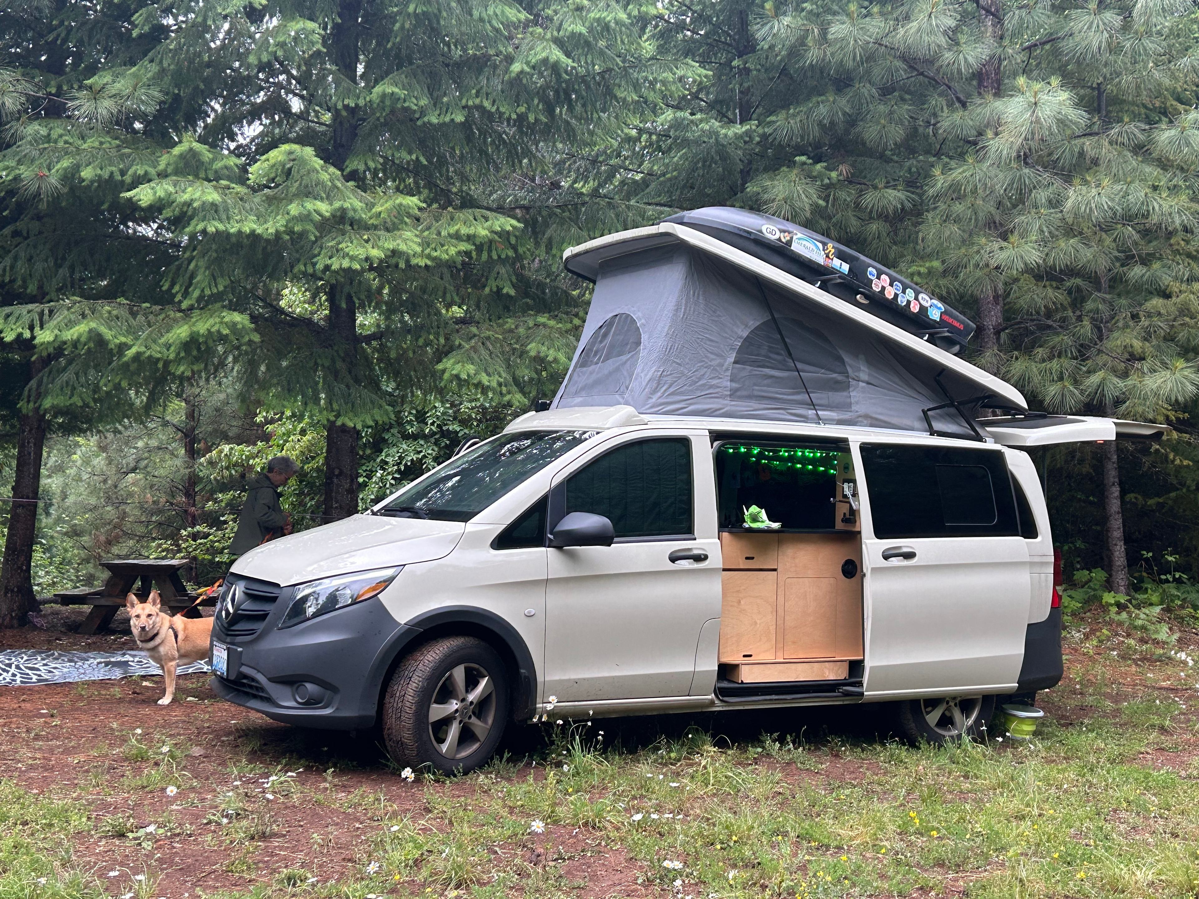
21 ft campervan
With pets
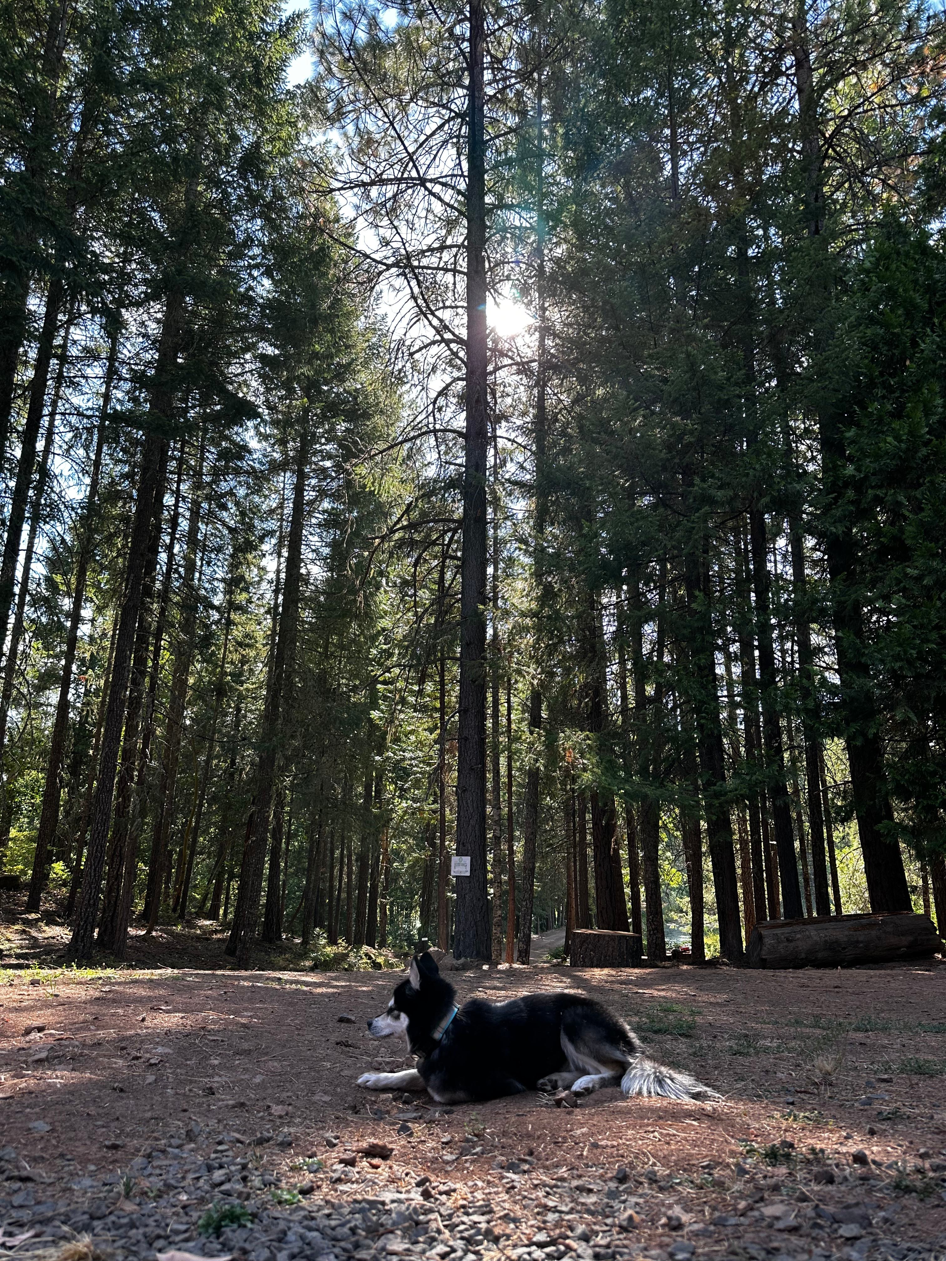
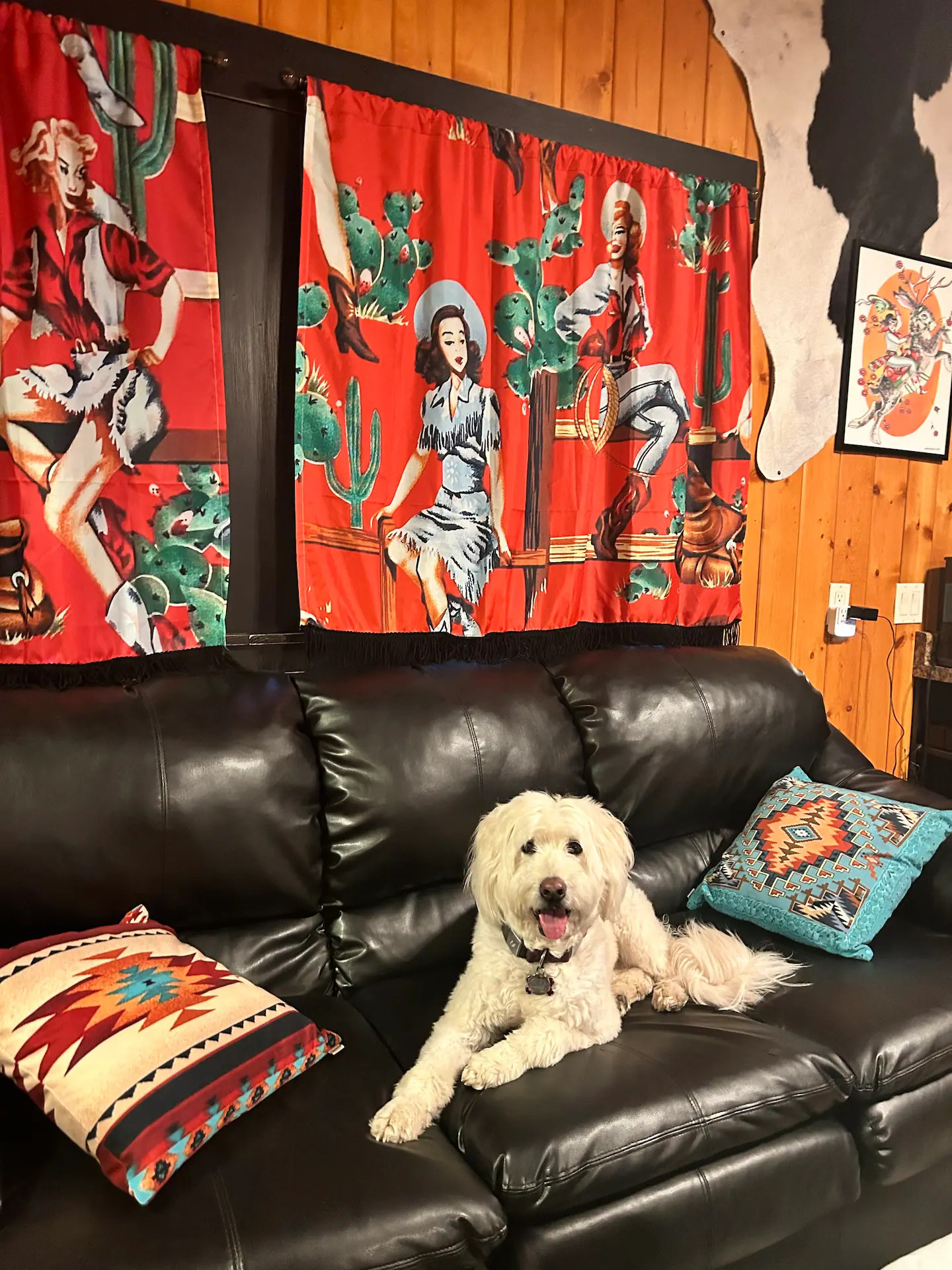
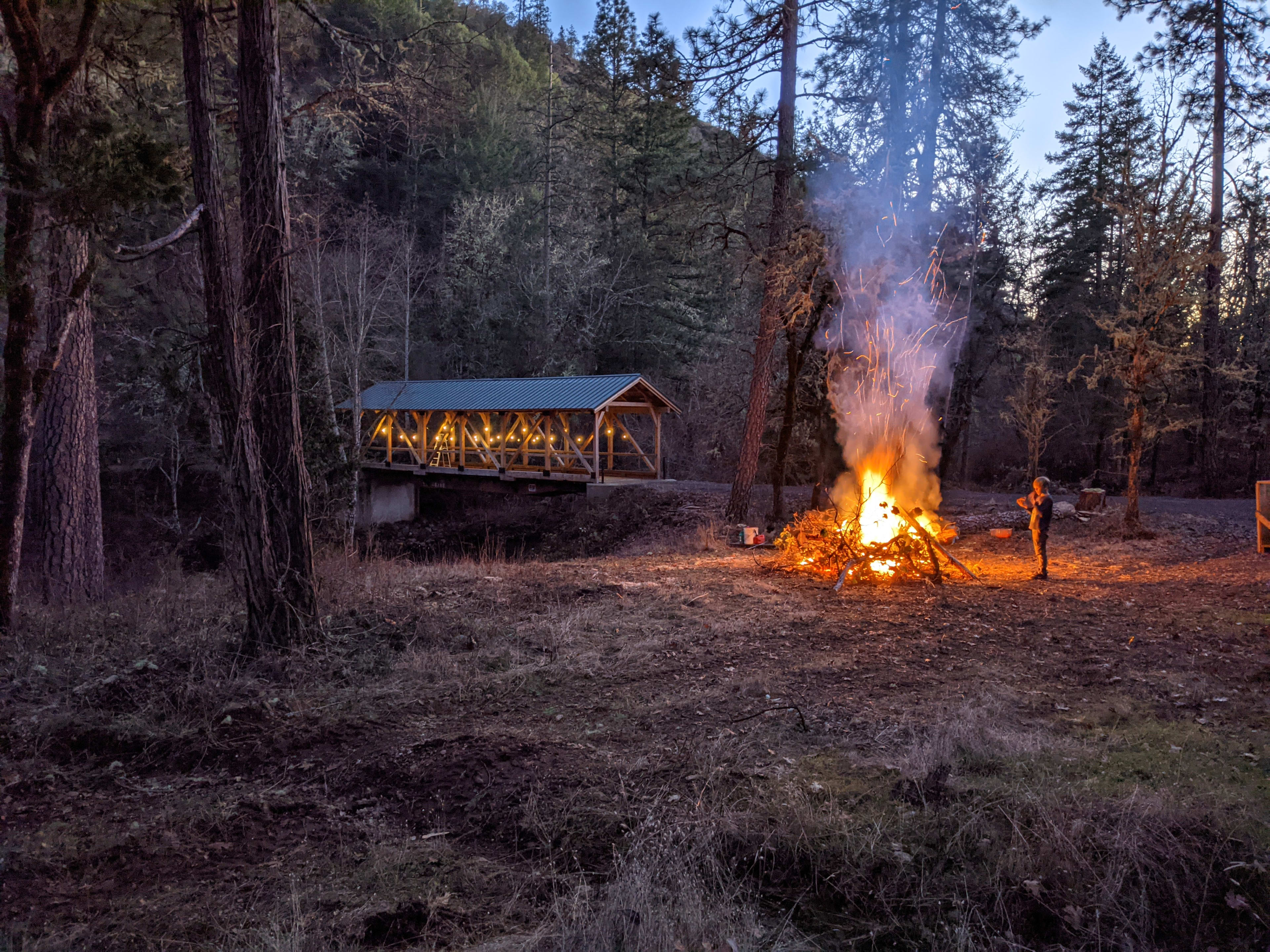
It was conveniently located just off I5 as stated by others. We had a quiet & peaceful night and morning. There is a nice little walking path that my dog appreciated. The bridge lights weren't on which kinda bummed me out as I would have liked to see it lit up, but I was glad they were off as soon as we settled in. Shower was disconnected for winter, but I love the idea and want to borrow it on my own property! I didn't use the firepit, but it would be nice for a group. The campsite isn't totally level and is down a steepish hill. If there was a lot of snow I might be concerned about getting out. All in all we had a great 1 night stay and it was exactly what we hoped for when booking.
See more
R
Robert
2 weeks ago
1 night at Umpqua's Last Resort
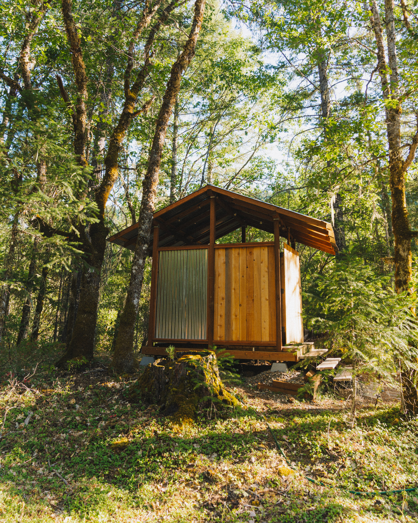
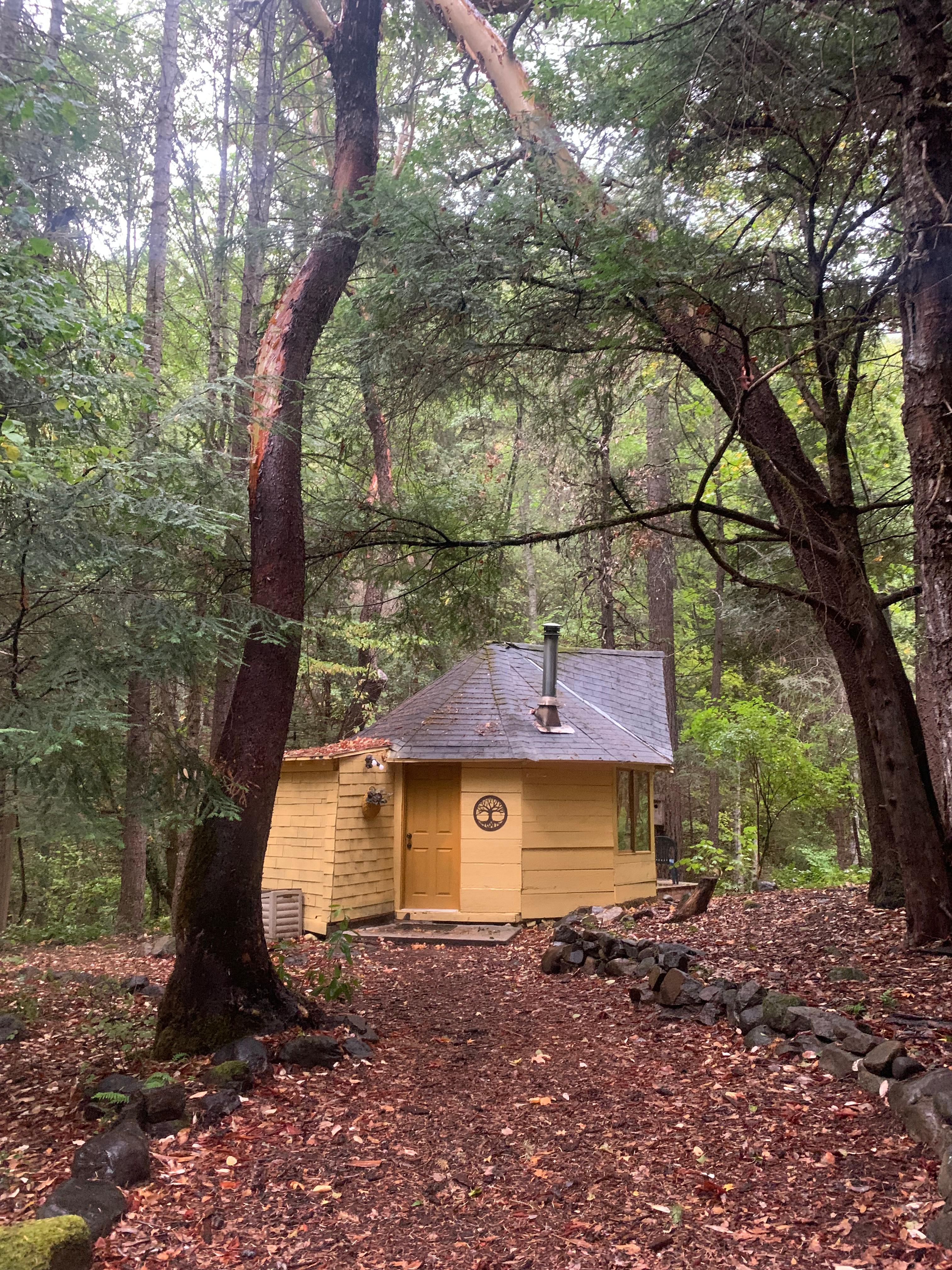
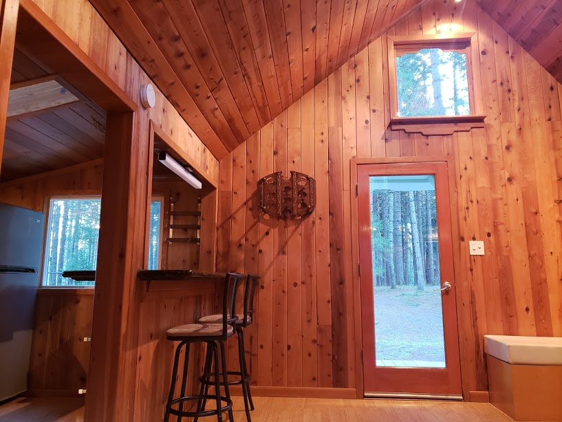
Great place. I used the cabin to stay warm in the cold November time. Amazing host - explained and had an excellent map to catch all the waterfalls and mile markers. The site is great - extremely close to bathrooms and shower which are super warm inside and water. Small little cabin for the night but has loads of extras. Microwave and little fridge as needed.
See more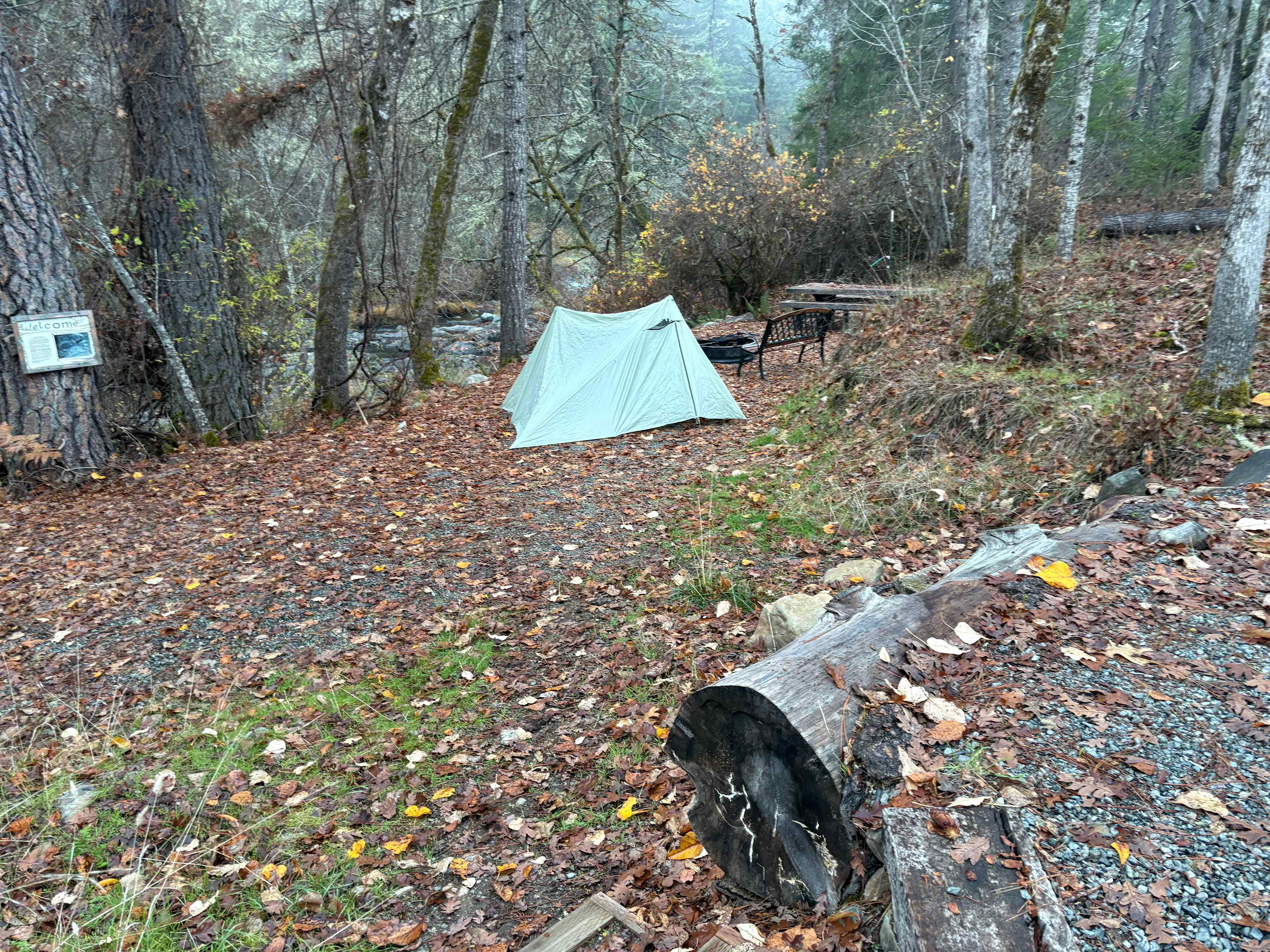
Richard
2 weeks ago
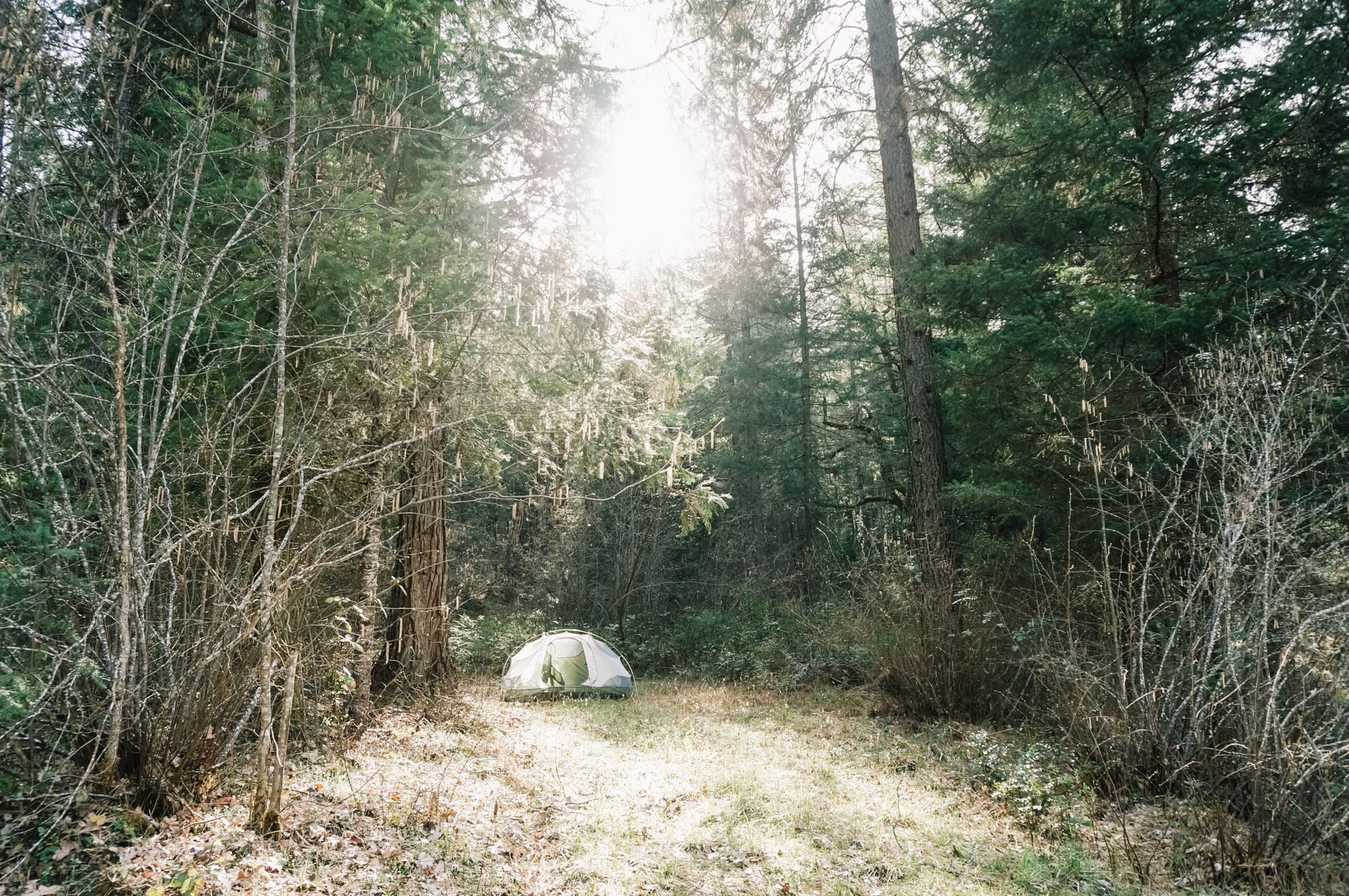
Tent
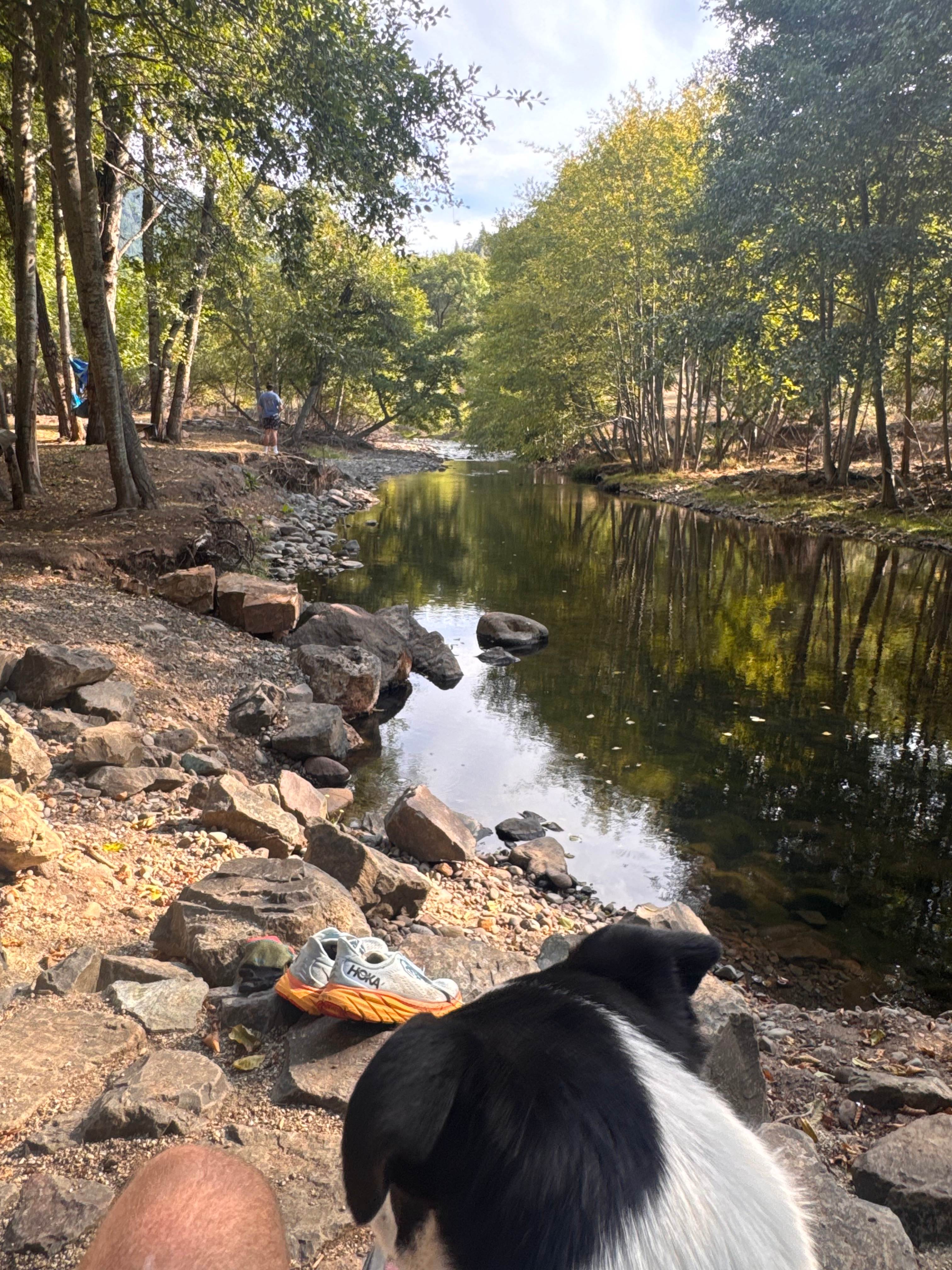
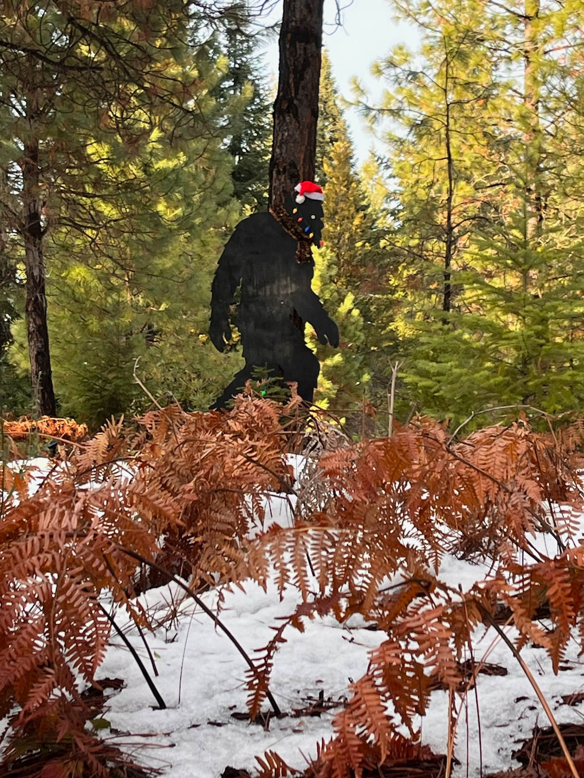
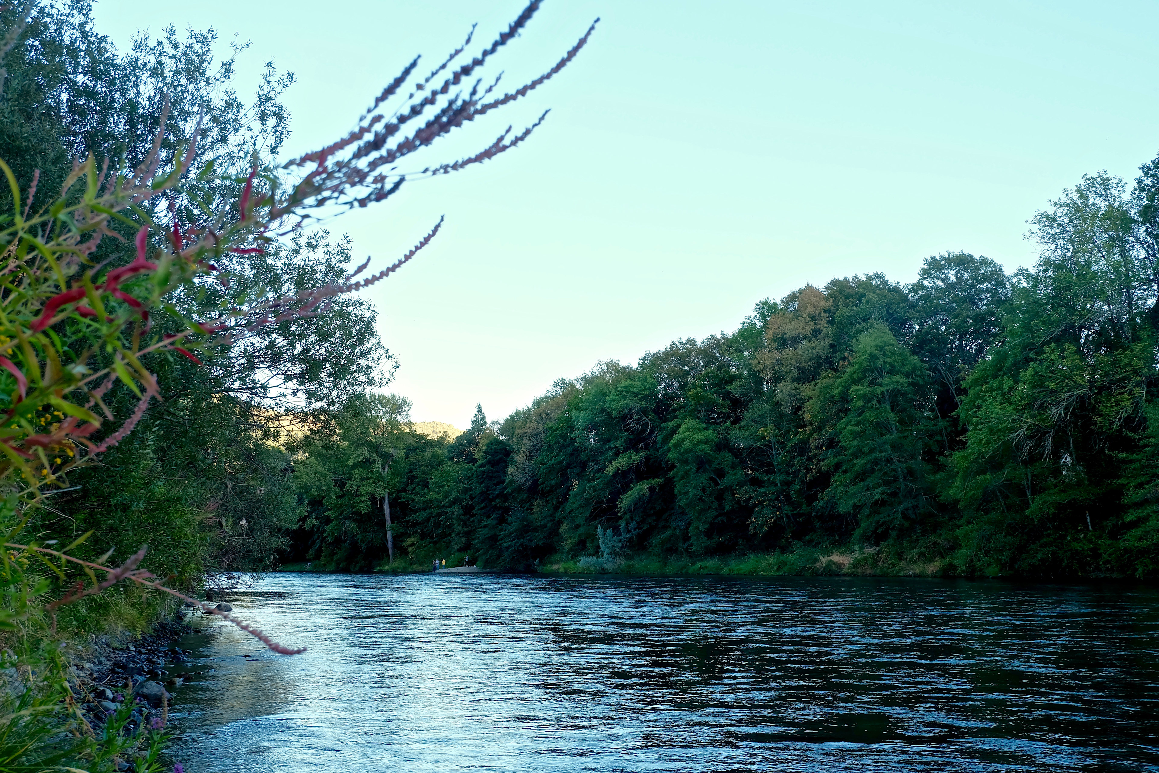
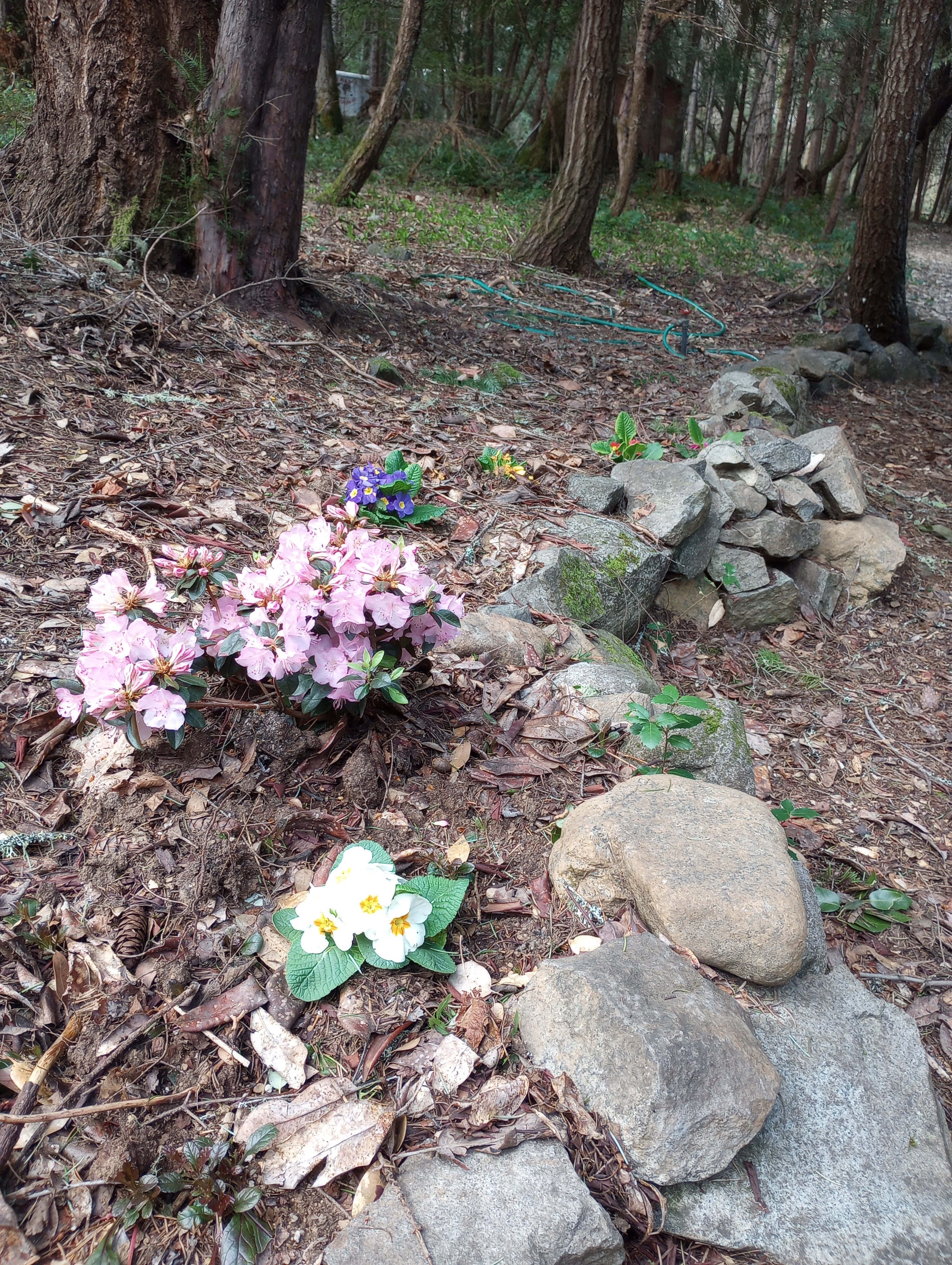
I loved the sound of the creek and ran into a doe and two of her fawns in the morning. This will be even more beautiful during the summer. I went in the late autumn.
See more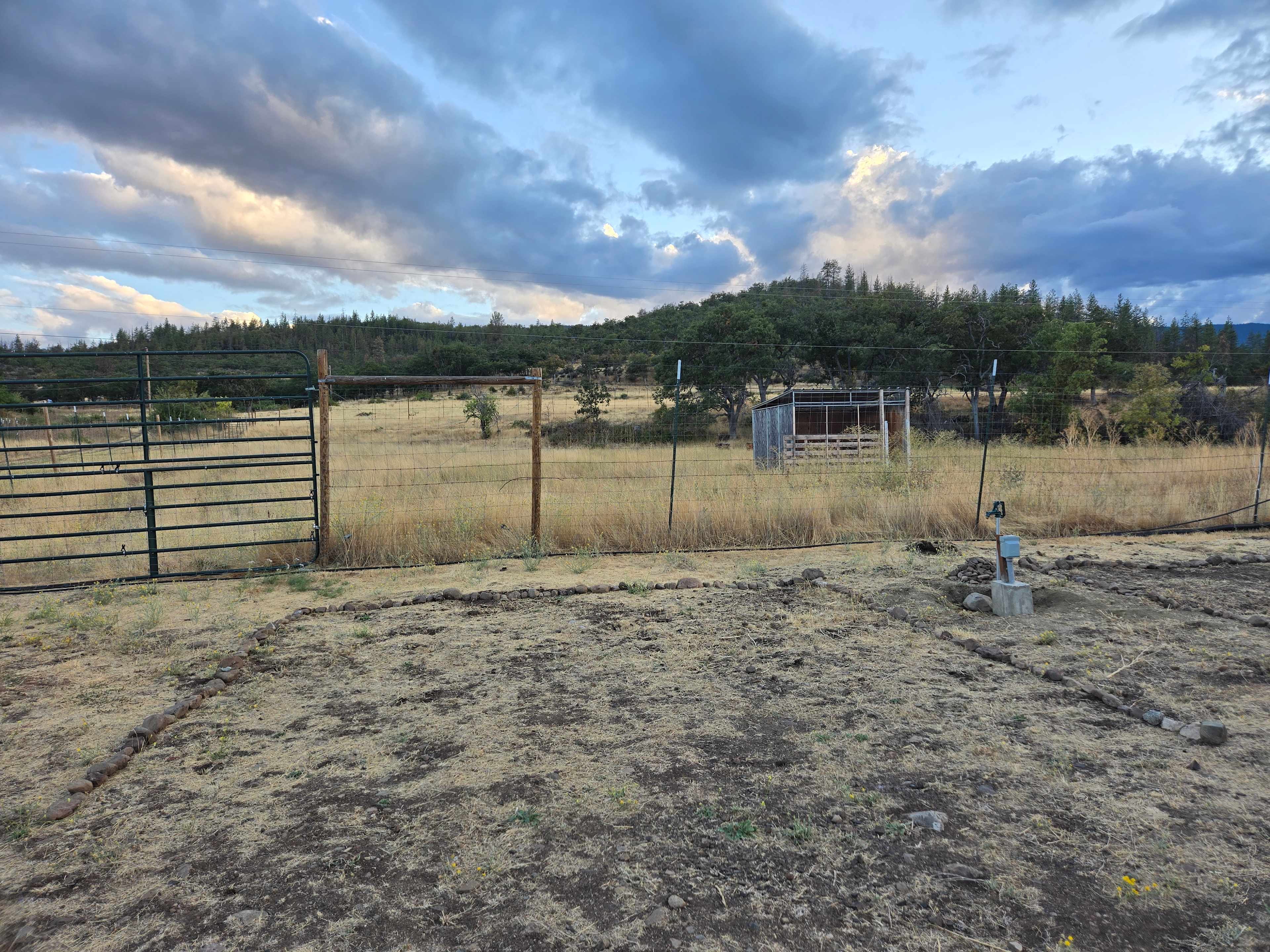
C
Cathy
2 weeks ago
16 ft car
This place was amazing! Hands Down the best HipCamp spot I’ve been to.
The Host were super cool and the events on the farm were awesome.
Soda Creek was close to town yet far enough away there was zero light pollution, the stars were shining bright!
I’d come back here again and again!
See more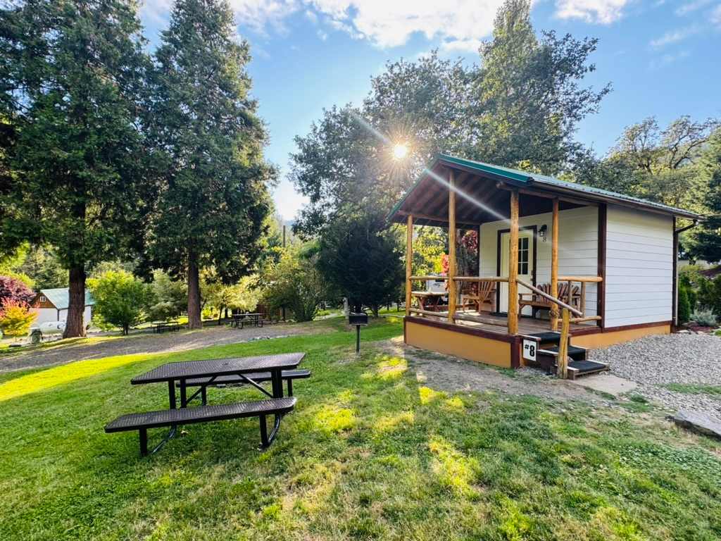
Matt
2 weeks ago
With pets
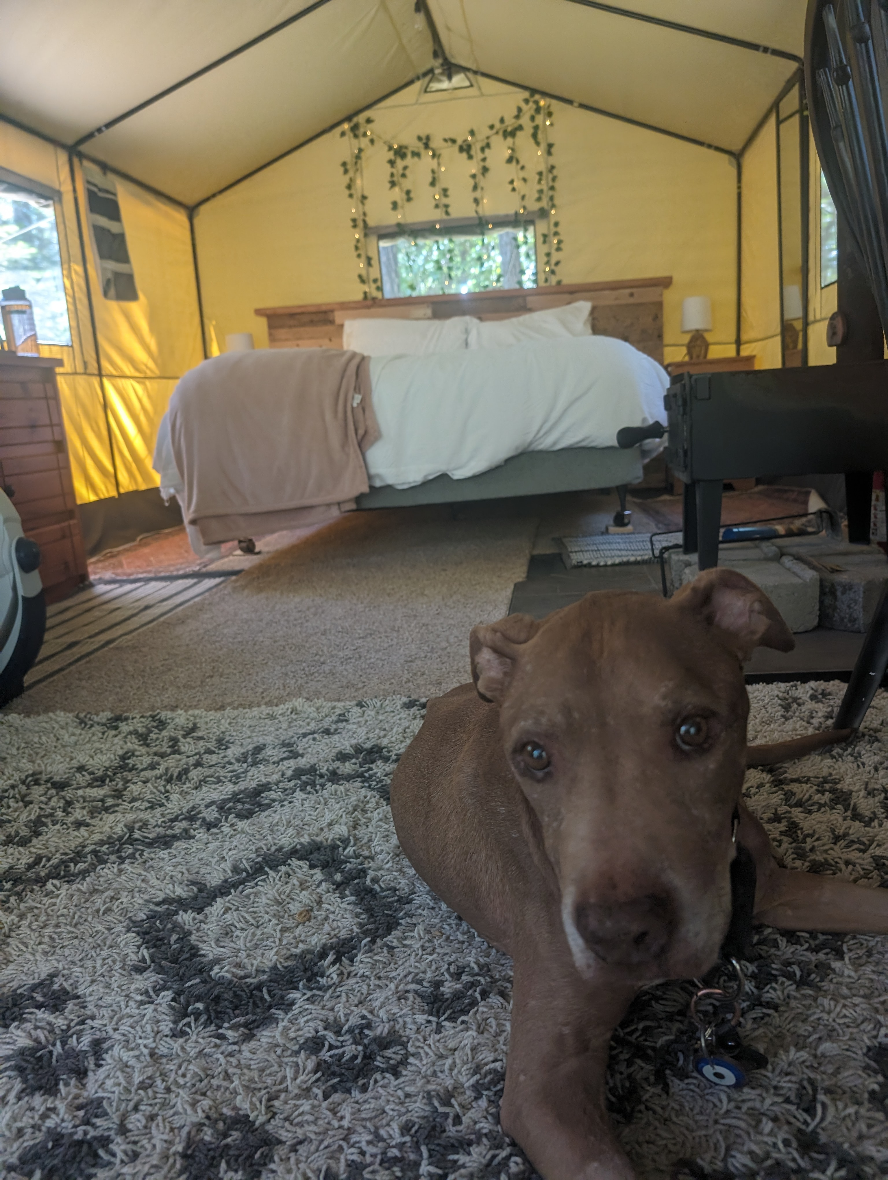
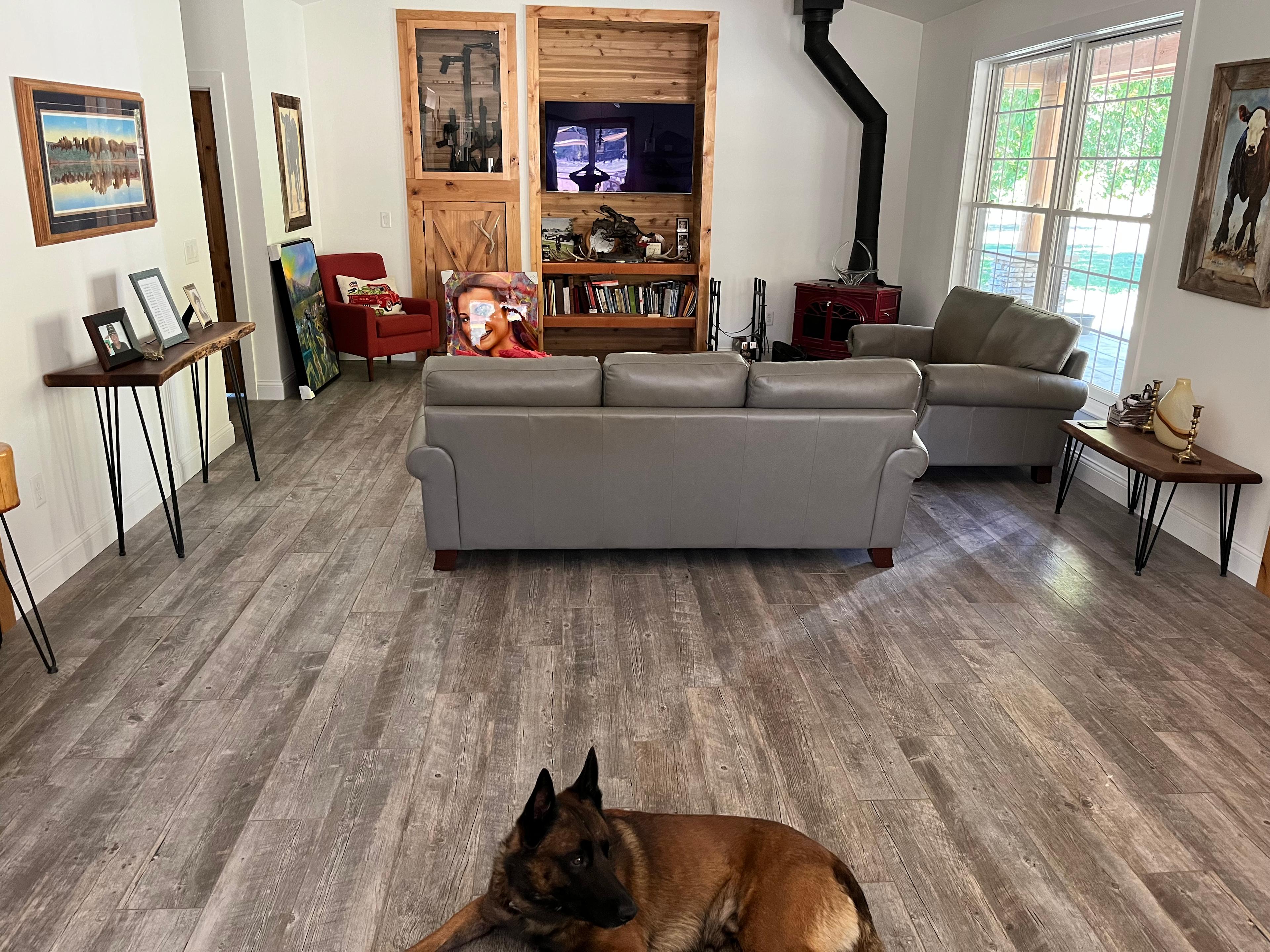
I have no notes - Umquilla's Last Resort checked all my boxes at every step: my dog and I loved it. Our cute mini-cabin had energy-efficient heat, microwave, and fridge allowing more food diversity than I usually get on my annual Thanksgiving trip. The bed was comfortable and as a single traveler with a dog: the bunk bed gave us a lot of extra room to stretch out.
The showers, restrooms, and dish washing area were spotless and warm. The staff was happy, kind, and showed visible support for LGTBQIA+ travelers.
My dog loved that we could hike in the national forest without getting in the car which conveniently could charge via the EV charging station in the campgrounds. I mostly explored between the campsite and I-5 due to there being a charger at the campground and dozens of options in Roseberg (or on my trip in via I-5 South a good high-speed charger in Sutherlin.)
Self-service paid internet access (24h, 72h, and 5 day options) provided suitable bandwidth for unexpected video calls and web browsing.
It was all perfect, worked well, easy to spot from the road, and in a beautiful region with lots of activities. A true oasis for travelers just an hour east of I-5.
See more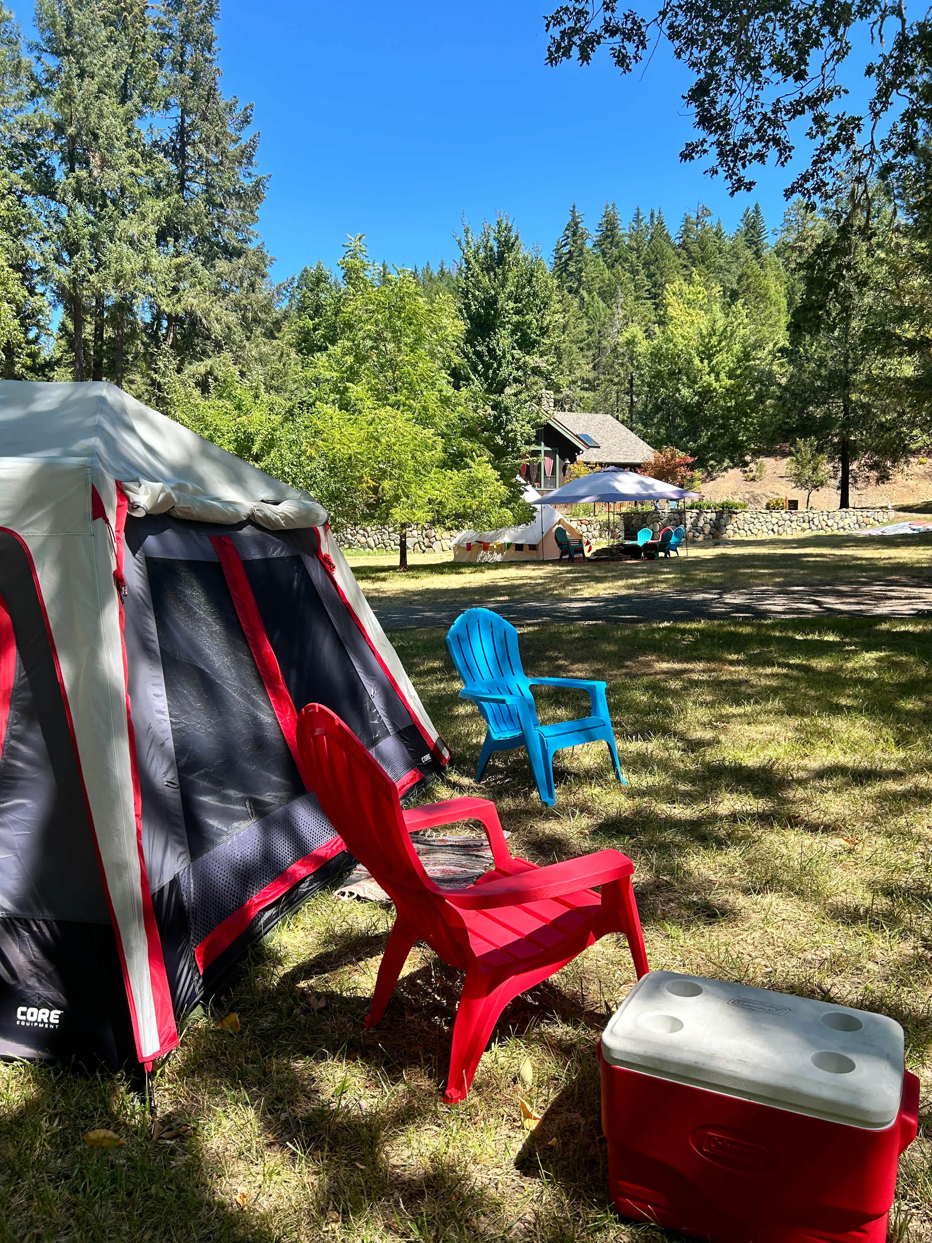
A
Aimee
3 weeks ago
Tent
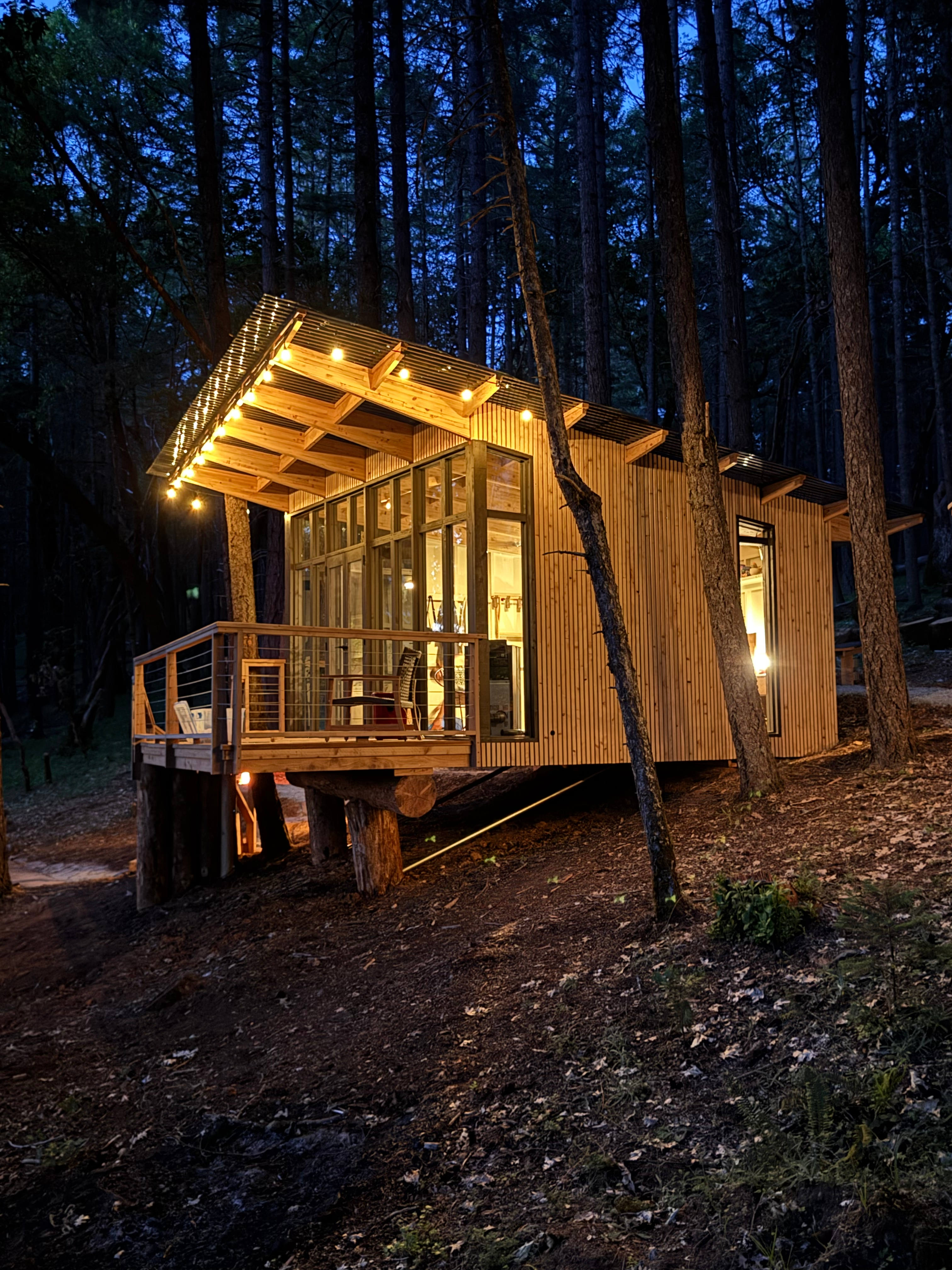
This is the best hip camp I’ve ever stayed at. Beth was so incredibly kind to us and got us set up in the CUTEST cabin with the most beautiful decor and might I add the comfiest bed!! I look forward to staying here again if I’m ever back in the area!!
See more
Richard
3 weeks ago
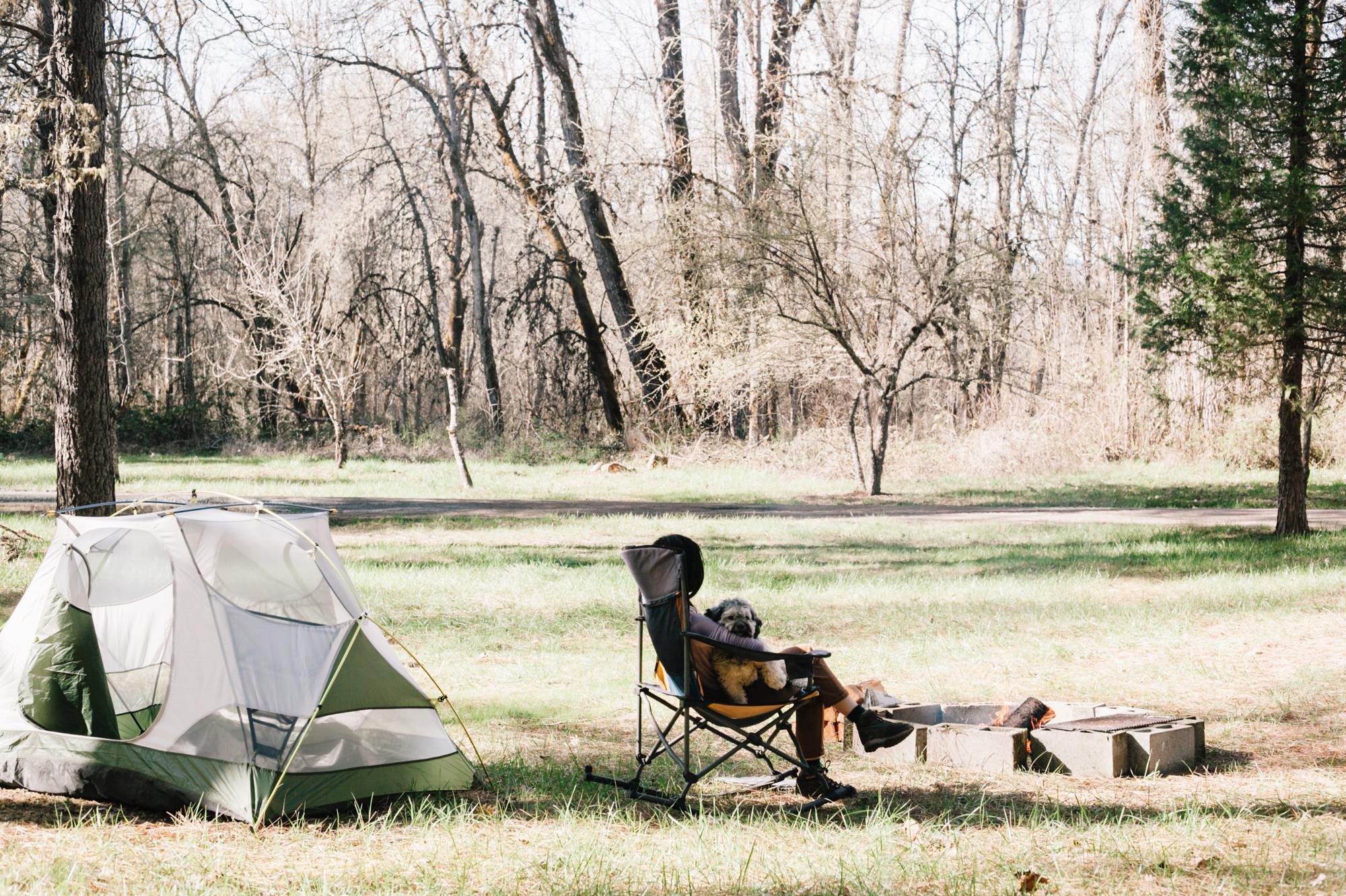
Tent
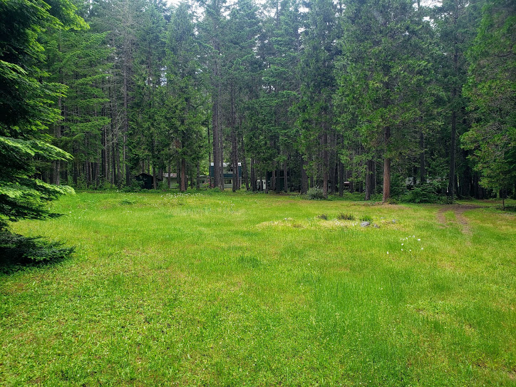
Loved the open spaces and there was no one else in the other tent spaces so lots of privacy. Information about using bathrooms and showers were clear.
See more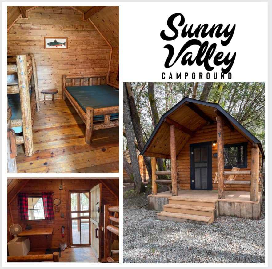
J
Jordan
3 weeks ago
With kids
Cozy cabin stay! Perfect halfway point on our travels.
See more
S
Sarah
3 weeks ago
21 ft Class B
Super cute! Staff was friendly, general store right next door. Lots to see very close by. Would definitely recommend!
See moreA
Ashley
November 2025
24 ft Class B
With pets
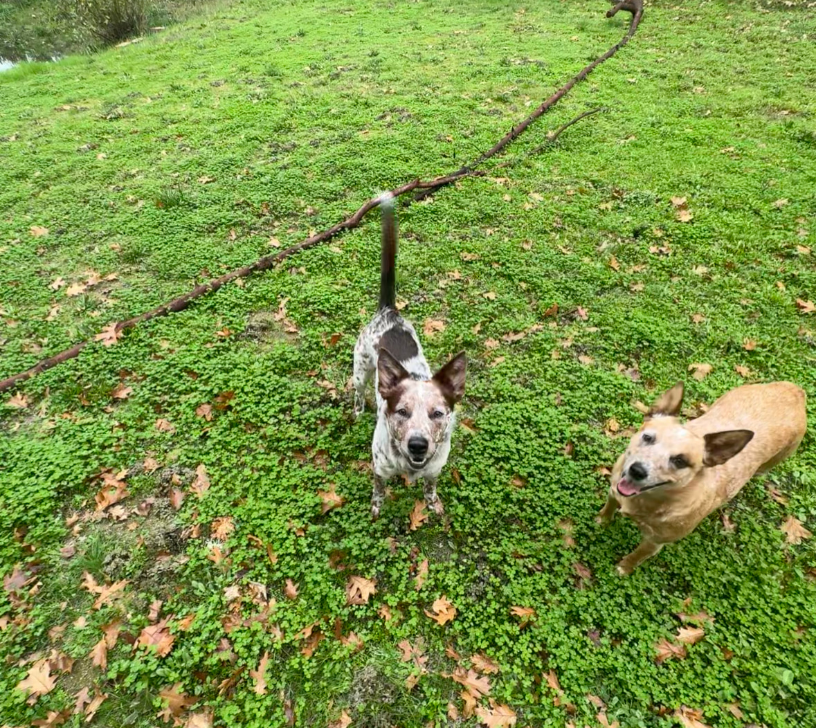
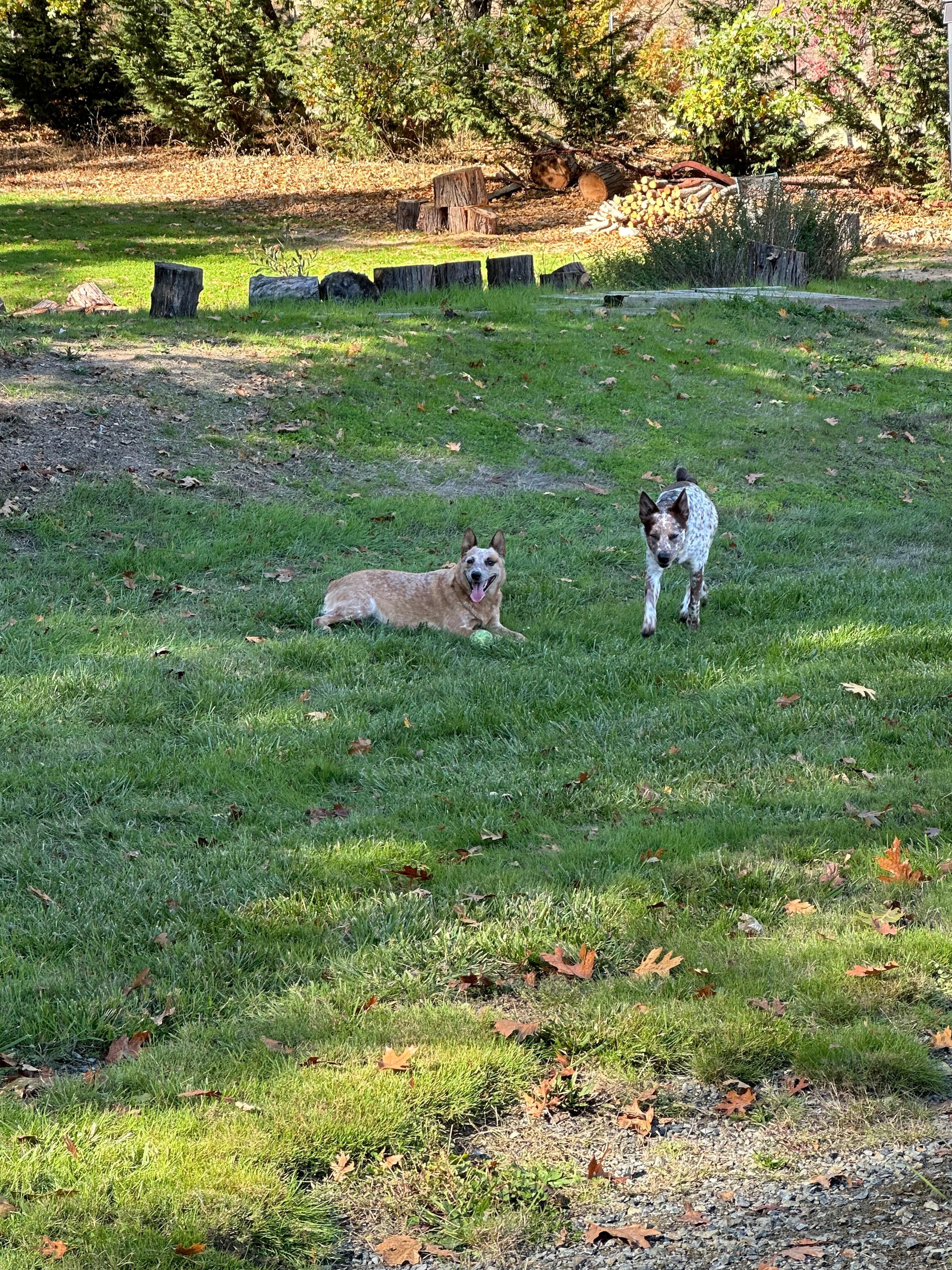
I loved staying on Sarah’s land in our RV. It was our first time using Hipcamp and it was a great experience. Good directions, beautiful farm and views. My daughter loved waking up to the sheep and us too! We walked around the property a little bit too. Such a great spot. We will be back!
See more
Dayna
November 2025
27 ft Class C
With pets
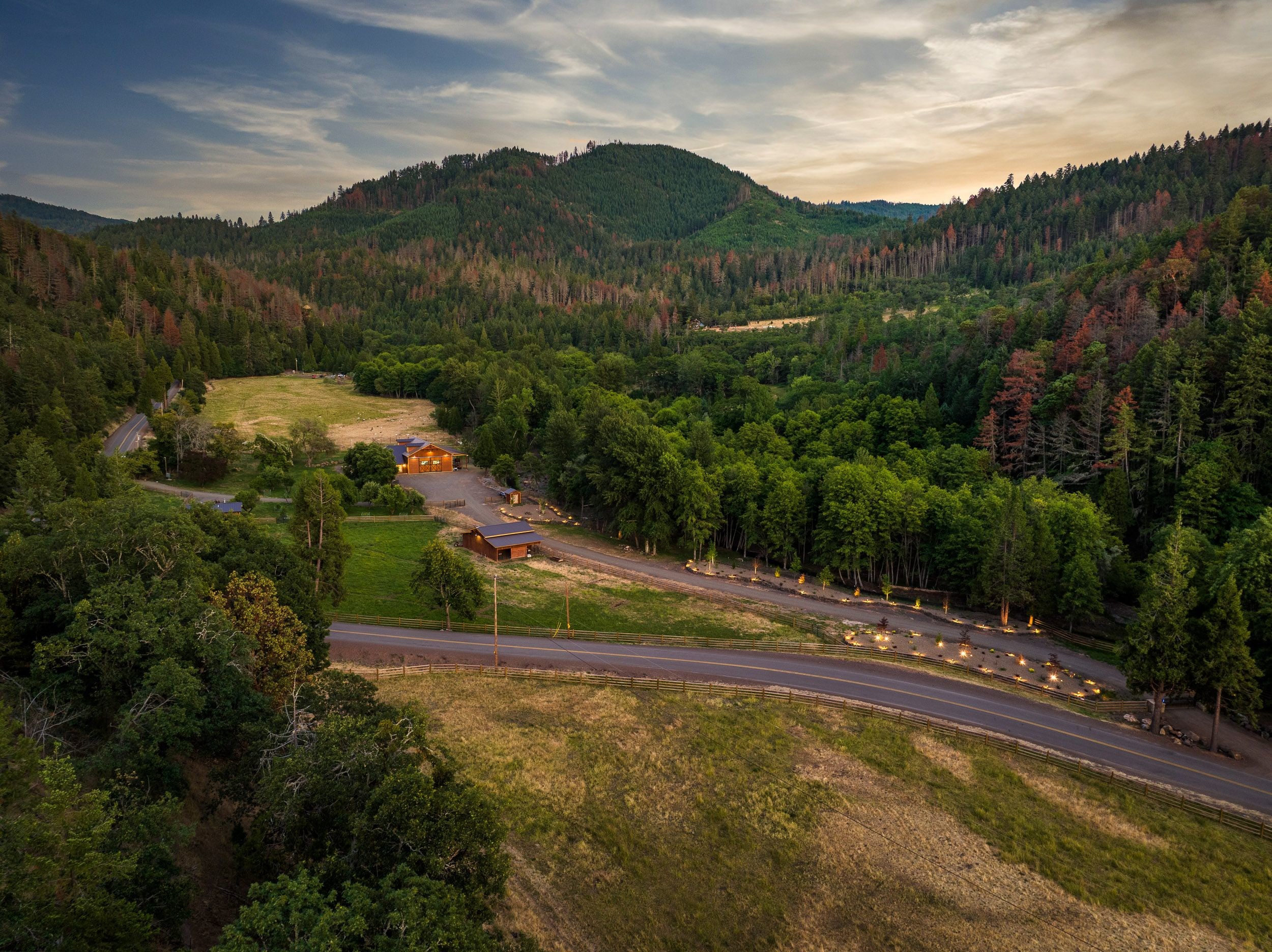
Marcus’s property is absolutely beautiful. Easy to access down a gravel road, nice flat and wide site for our 26 foot Class C with a slide, stunning surroundings, super private and quiet. We loved everything about it and can’t wait to come back.
See more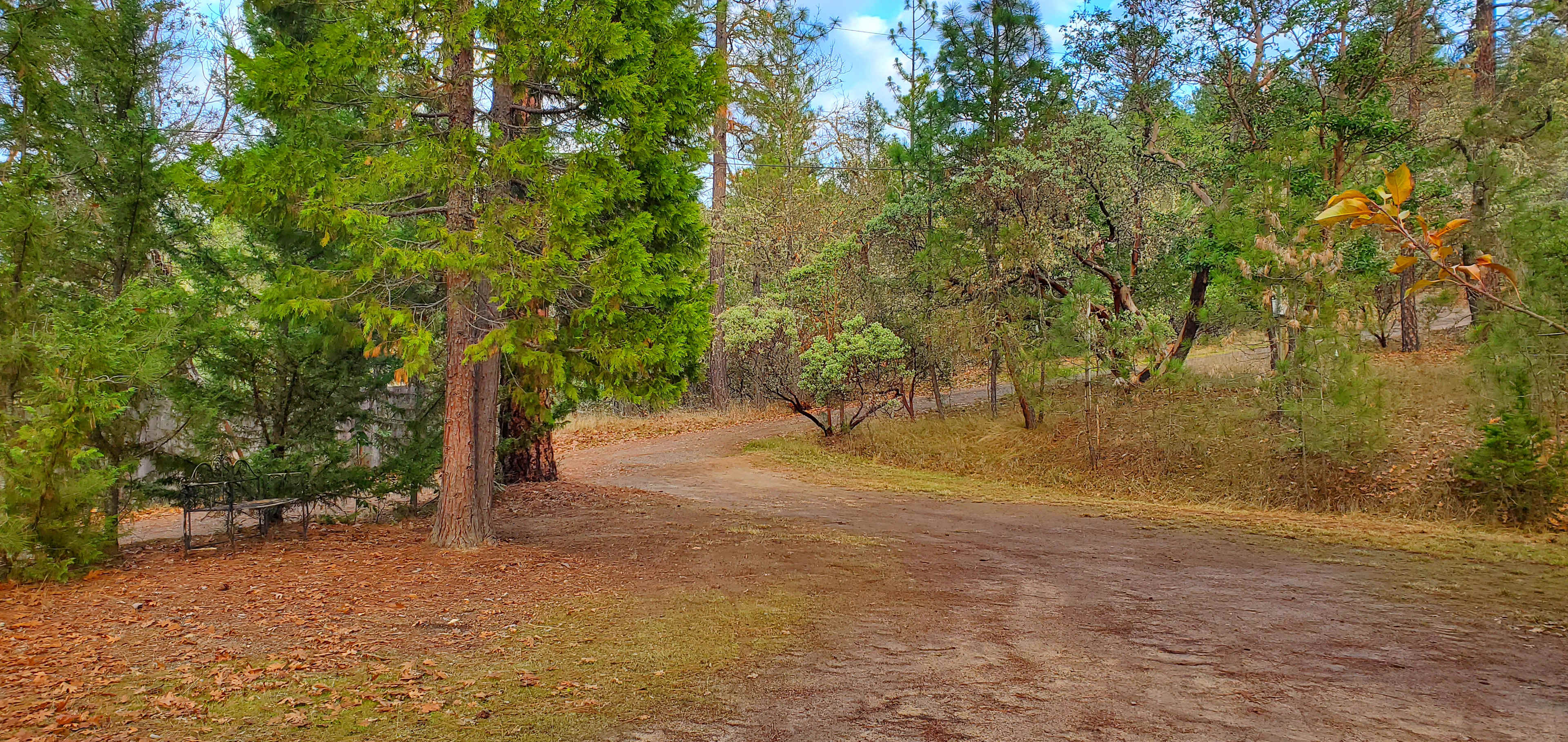
K
Kaia
November 2025
19 ft travel trailer
With pets
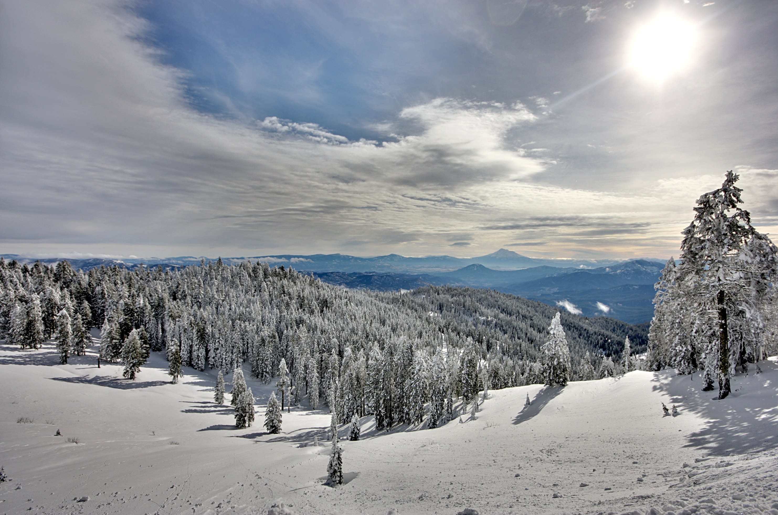
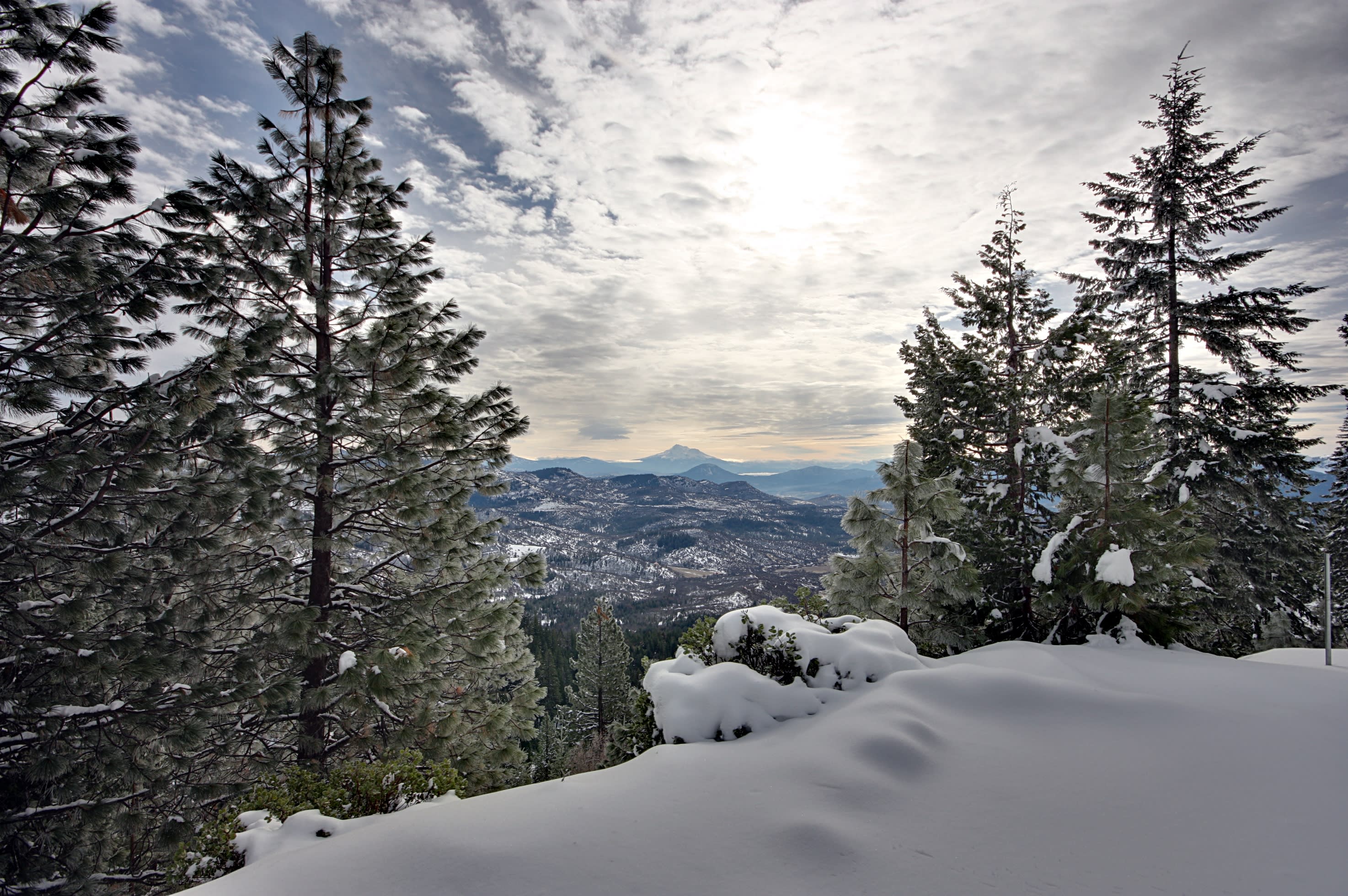
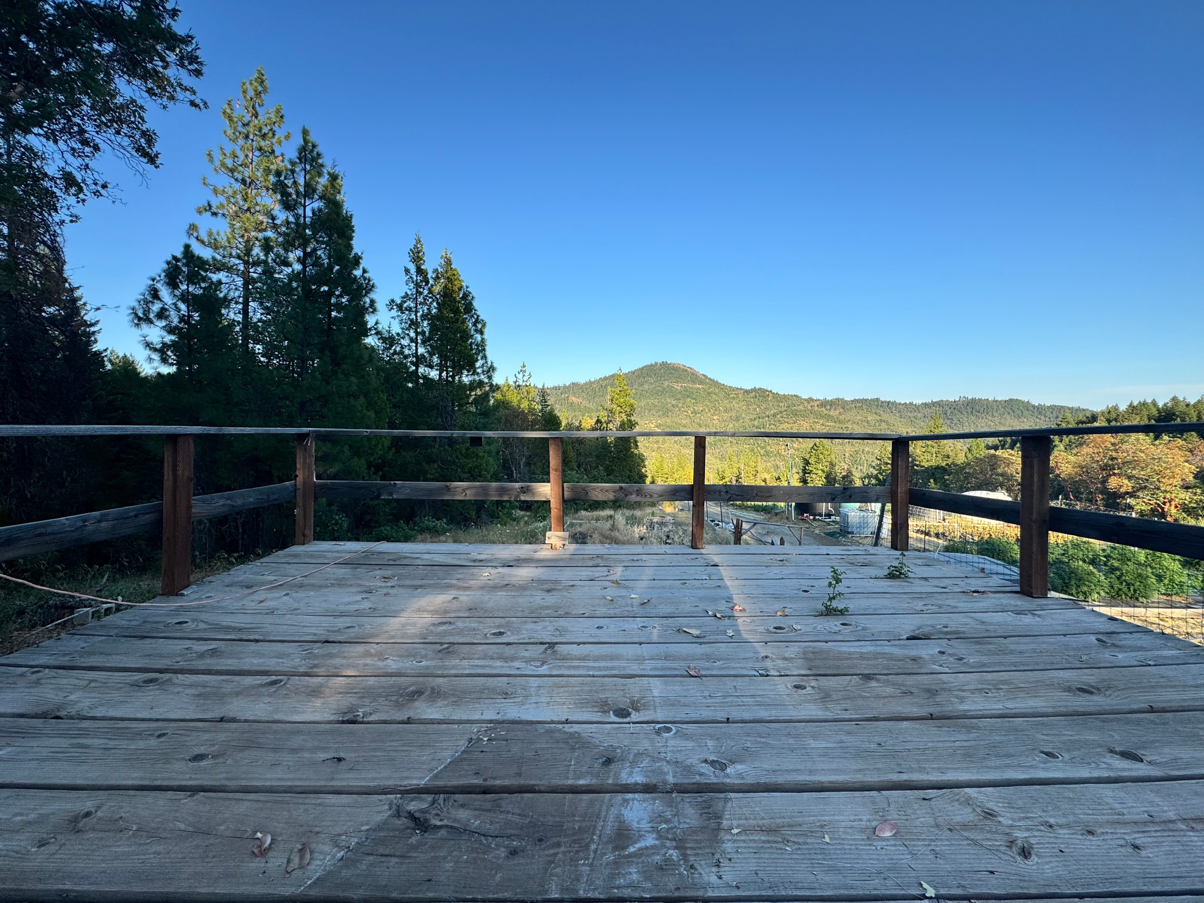
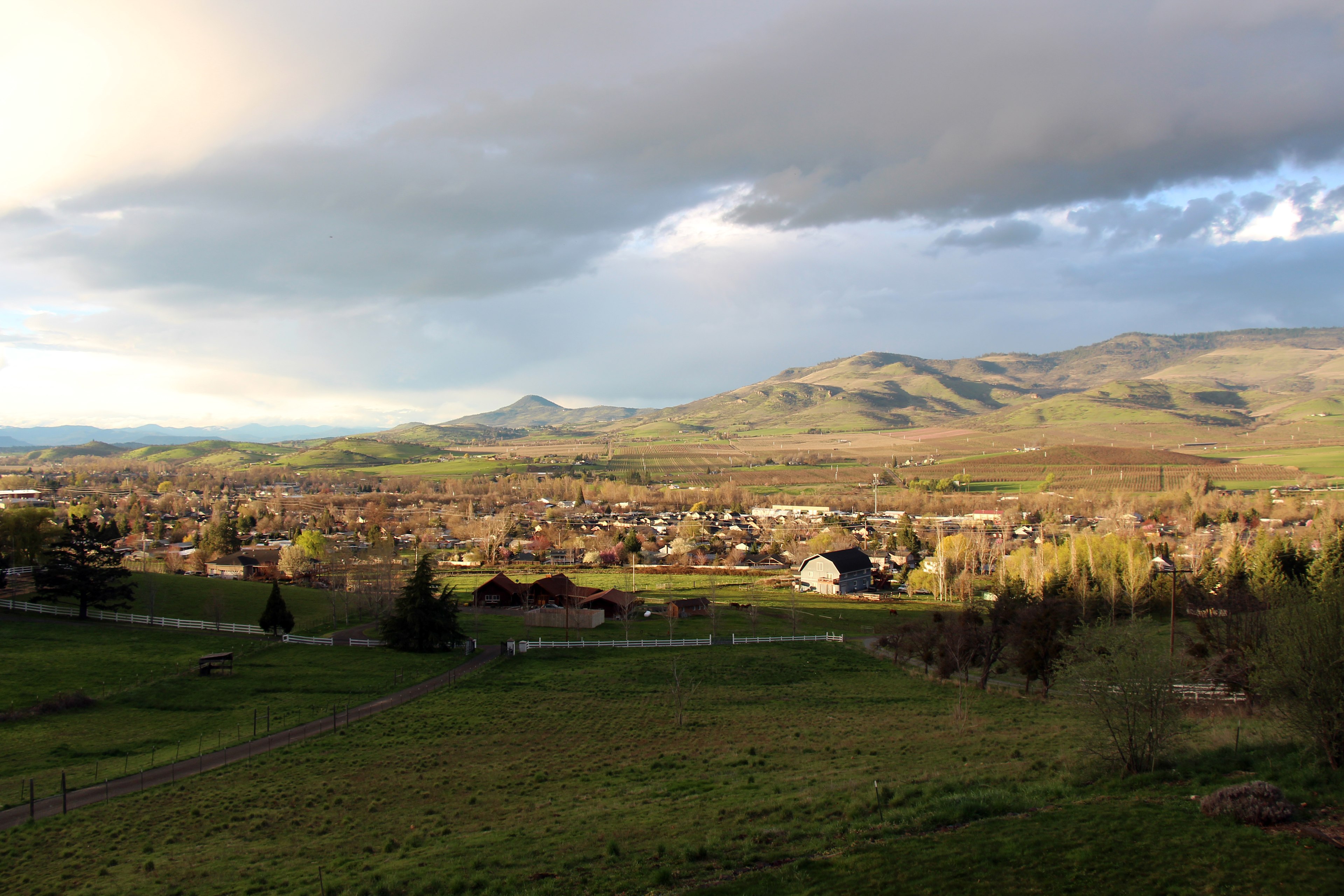
The pond area is sublime & peaceful. This location is a challenge to get to with a steep ascent but it does indeed true you on top of the clouds. Totally worth it! Wine too……a perfect location.
See more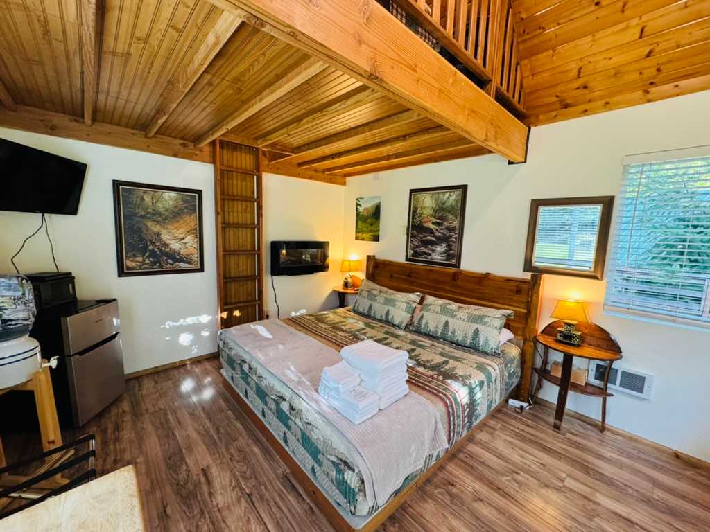
D
Debora
November 2025
Weekend Trip to Umpqua's Last Resort
I absolutely loved staying here in my deluxe cabin! It was the perfect personal retreat I needed, the cabin was super clean and cozy, nice fluffy bath towels and the Wolfgang Puck coffee pods were a treat! The park was quiet and at night I could hear the river from my cabin, there is a nice trail down to the river and I was able to spend time by the river in the evening. The location is so close to many waterfalls! Toby and Dustin are super nice hosts! The shared restrooms were clean and the showers hot! I loved the small trails to wander on next to the park. I cant wait to return as this will be my place to stay this coming year, thank you for providing such a nice place to have a get away from the world! My only request would be to allow for a late check out if needed but I ended up leaving early to see more waterfalls!
See moreJ
Jorge
November 2025
Tent
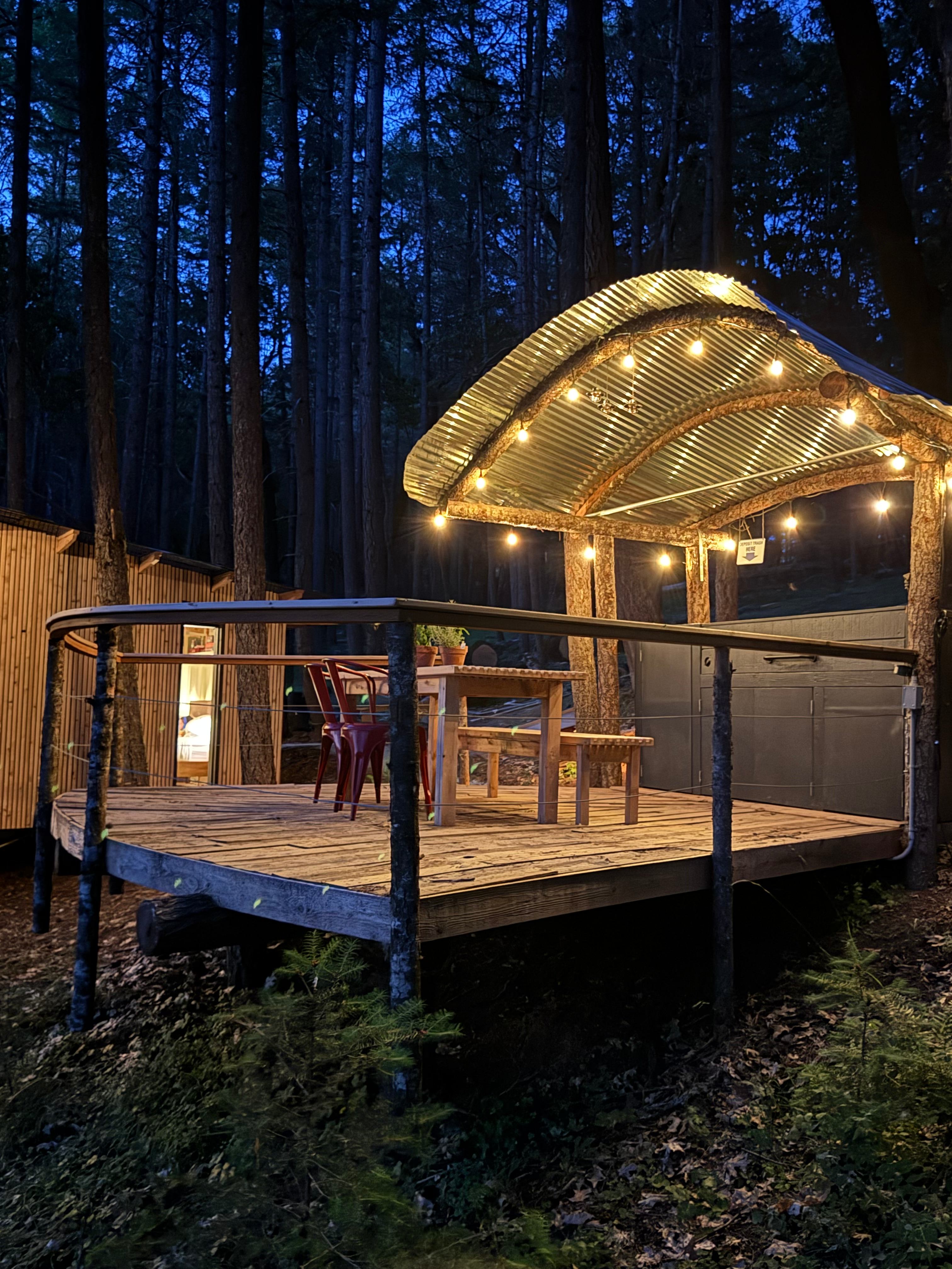
Close to the main road but very quiet. Nice ambience with the string lights and sounds of the creek. Saw a few deer during my stay. Happened to be rainy during my stay but the big trees offered some cover and the covered bridge was another nice place to stay dry. Bathroom was clean.
See more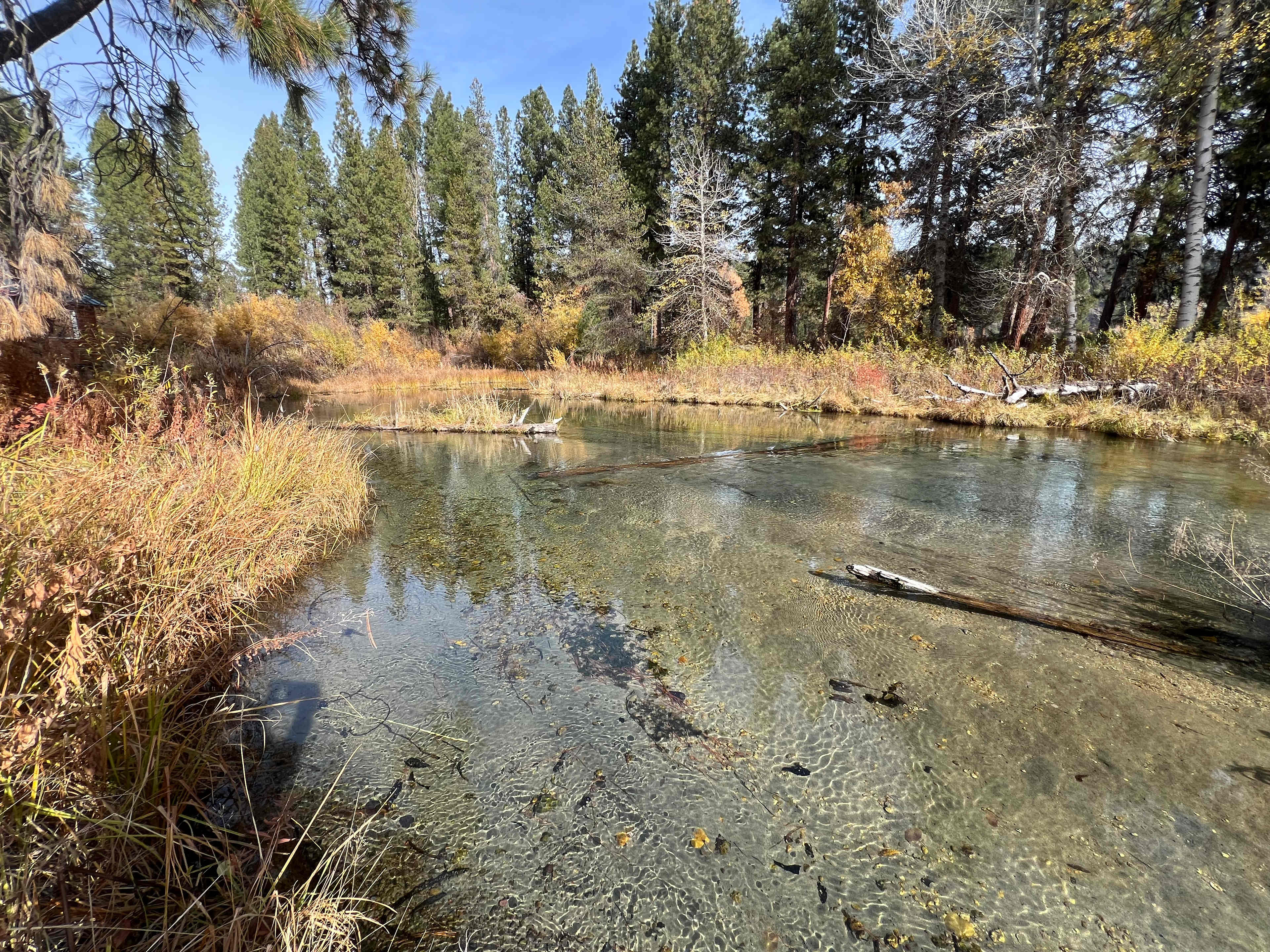
Benjamin
November 2025
Tent
Picturesque and well managed glamp site convenient to Crater Lake National Park. The clean, heated bathroom and shower was a godsend in the freezing temperatures.
See more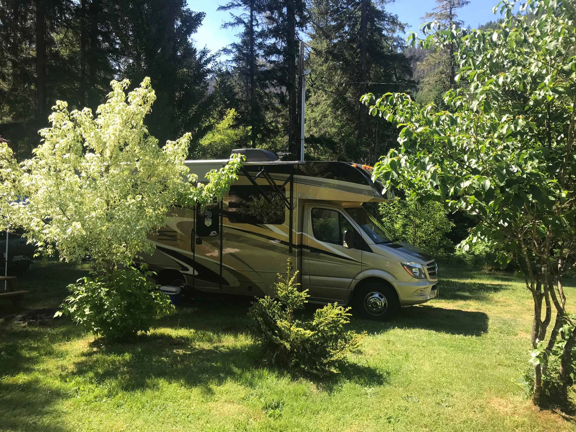
H
Heather
October 2025
30 ft Class C
This campground was perfect. We booked very last minute. We arrived after hours and easy set-up. The host was easy to communicate with even after hours.
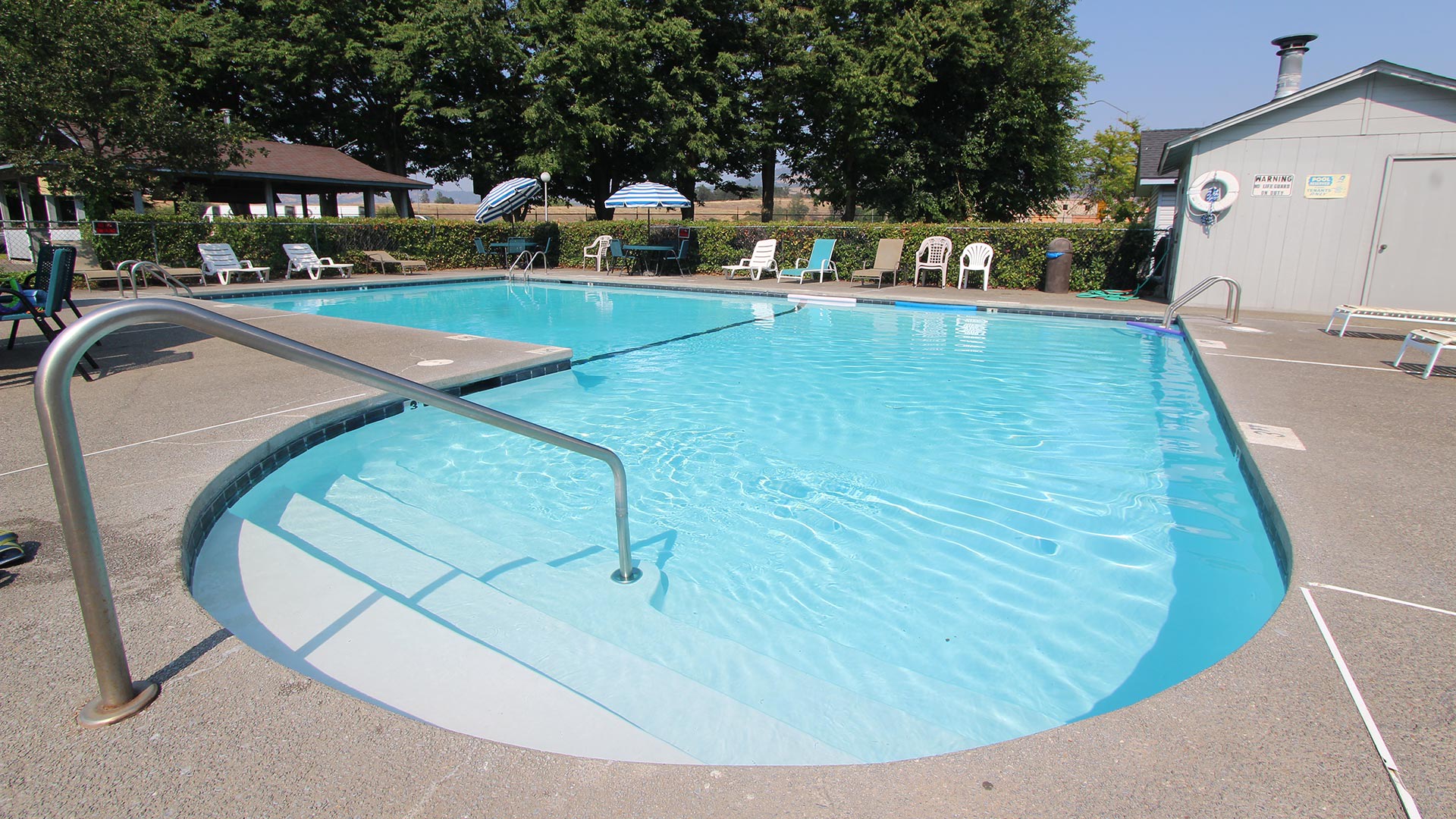
Very clean! The bathhouse was clean and heated. Nice rain head showers with plenty of hot water.
Definitely recommend.
See more
K
Krizzia
October 2025
30 ft Class C
With pets
Beautiful property! My little family and I had such an amazing and peaceful time on Joy’s land. Joy is super great with communication and is truly helpful and kind. Wish we could’ve stayed longer! Such a great property to explore with our babies and dog. My family and I recommend and would come back again 😊
See moreE
Emily
October 2025
21 ft campervan
Best campground we stayed at on our entire trip through the Pacific NW! Host met us immediately upon our arrival with clear directions and recommendations for exploring the area. Showers/restrooms were super clean and well maintained. Grounds are beautiful and the campground is thoughtfully laid out giving each site privacy and easy access to ammenities.
See more
K
Kelila
October 2025
1 night at Myrtle's Place
All the perks of camping without the fuss! Cozy bed. Even had some kitchen wares to use. Bathrooms and shower were clean and warmed with space heater, and had warm water. Beautiful views and close to crater lake. If you like camping this is a perfect lil spot.
See more
K
Kristi
October 2025
43 ft fifth wheel
With pets
Amazing camping Experience! A must see location! Kevin took his time to make sure we were informed and settled in the best location on the property. we will be returning.
See more


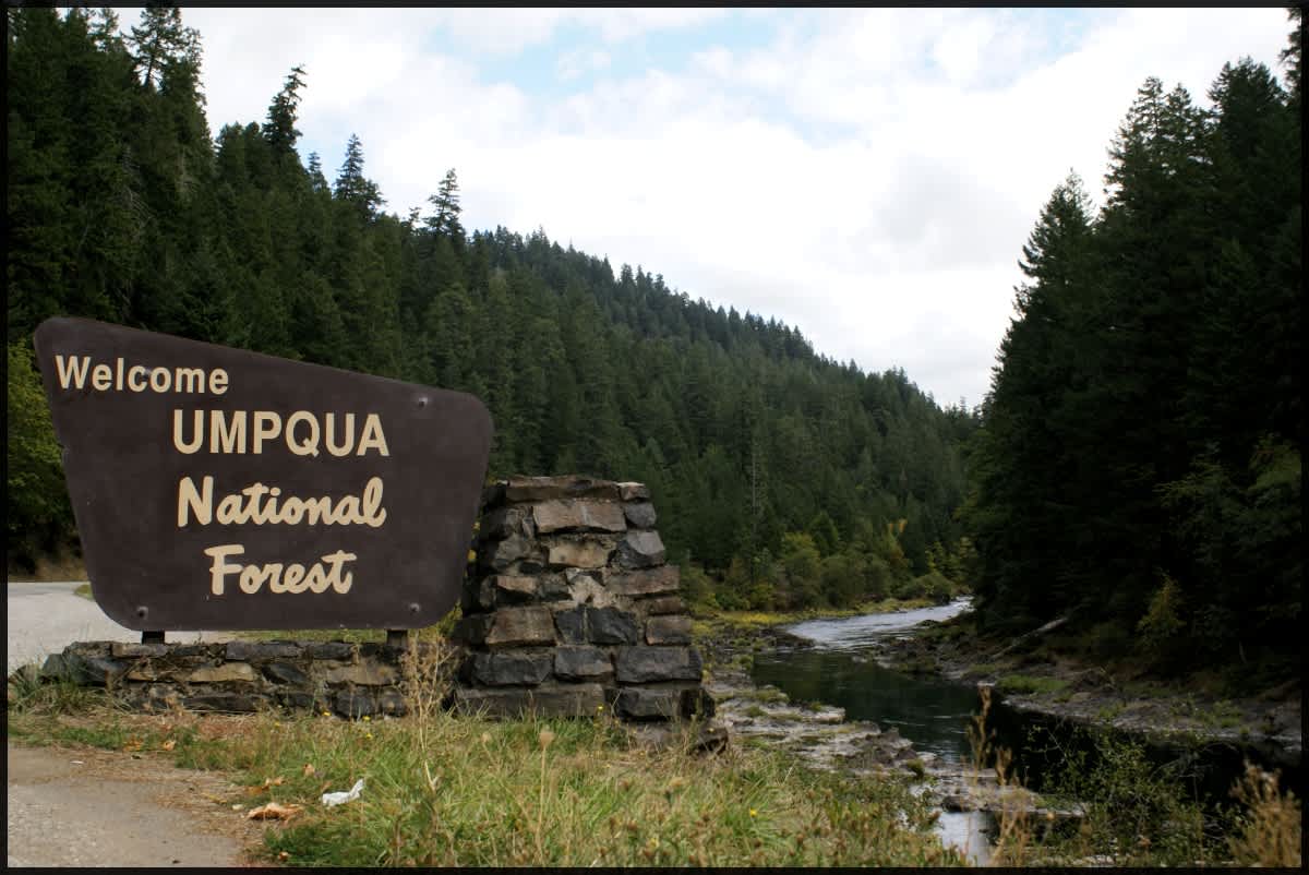
Nearby parks
Explore the area’s public lands.


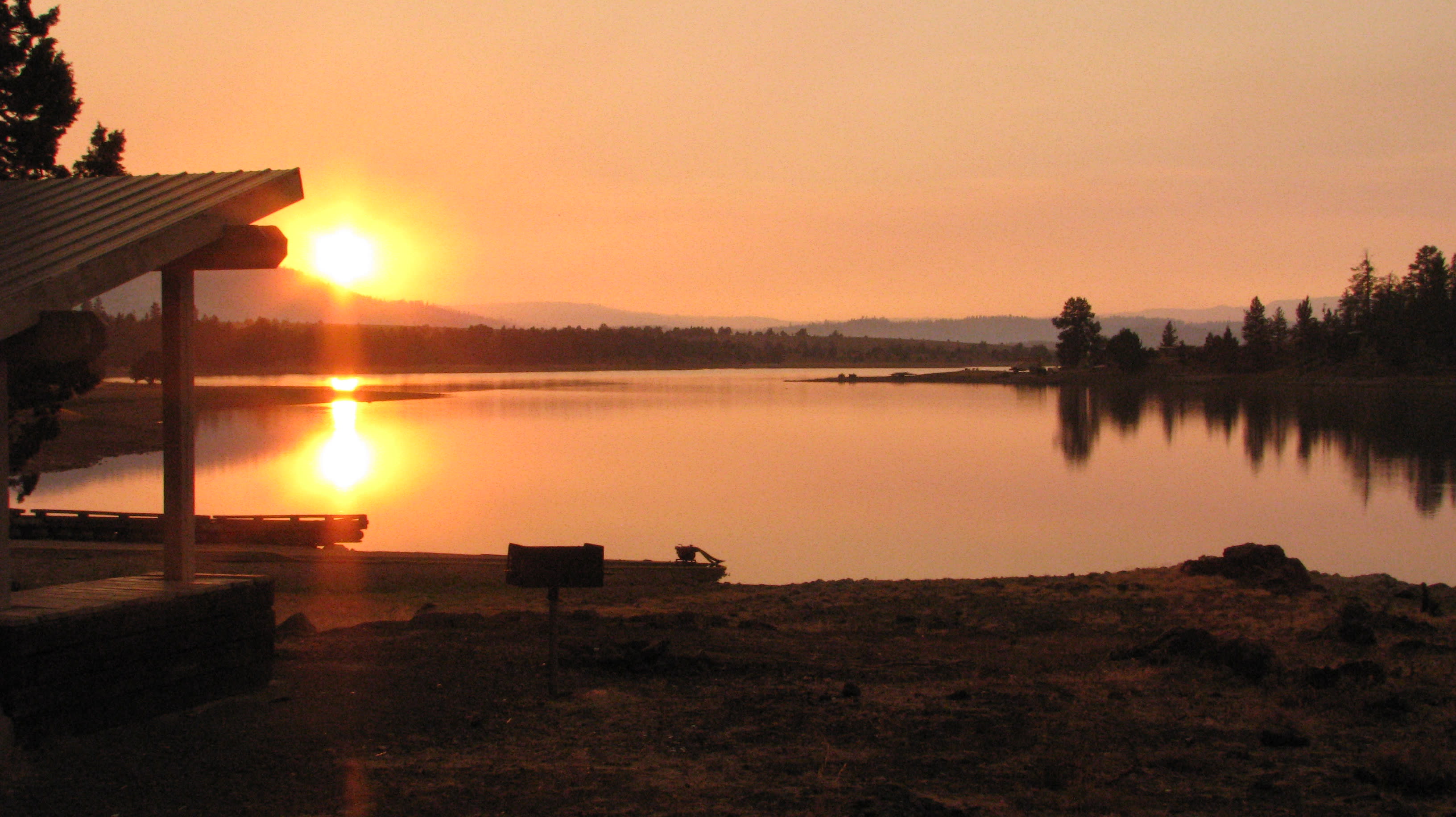

Other options near Shady Cove