92% (349)
Top-rated campgrounds
92% (349)
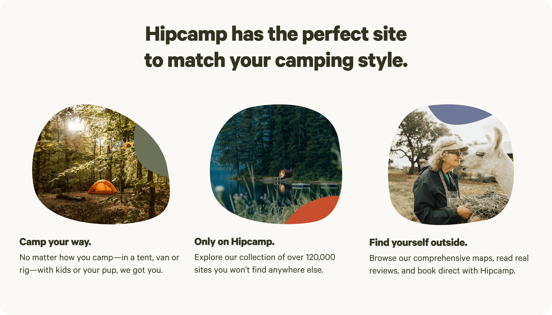
Top-rated campgrounds
Camper favorites near Grand Forks
Top-rated campgrounds reviewed by the Hipcamp community.
Stories from the community

J
Jordon
October 2025
13 ft pop-up camper
With pets
We loved being able to book the charcuterie and wine tasting experience. The wine is excellent and so we bought a whole bunch. ❤️
See more
Fredrika
October 2025
23 ft pop-up camper
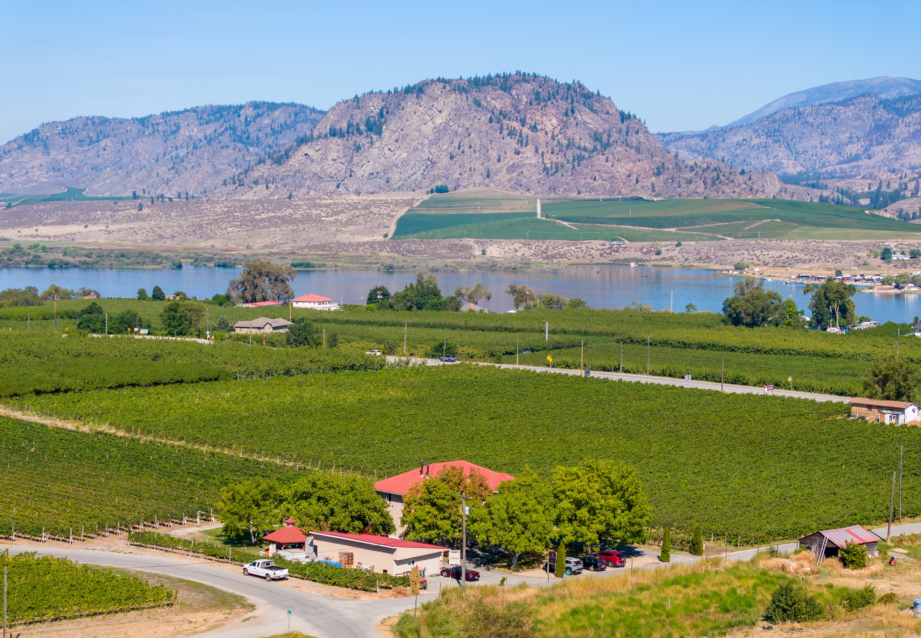
Monique has a wonderful property and was so hospitable. She gave us a safe and comfortable place to rest our heads after a long day of travel, and even had a fire ready for us. Our favorite parts of the stay was getting to see so many stars, and wake up to an unbeatable view of Osoyoos. Thank you so much Monique!
See moreJ
Jill
September 2025
30 ft toy hauler
We had a 26 foot trailer that took a bit of jockeying to get in place. But once we were situated it was fine. Great tasting room. Teresa and Mark were getting ready for the harvest but took the time to chat with us. Their wine is wonderful!
See more
D
Doug
September 2025
Tent
Great place to stay easy going hosts and beautiful property. Definitely recommend.
See more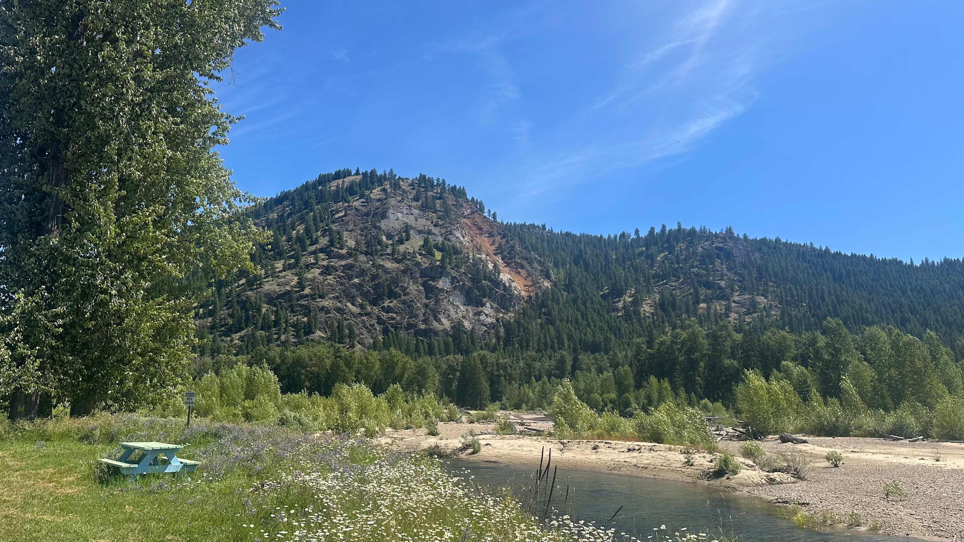
S
Sara
August 2025
28 ft Class B
With pets
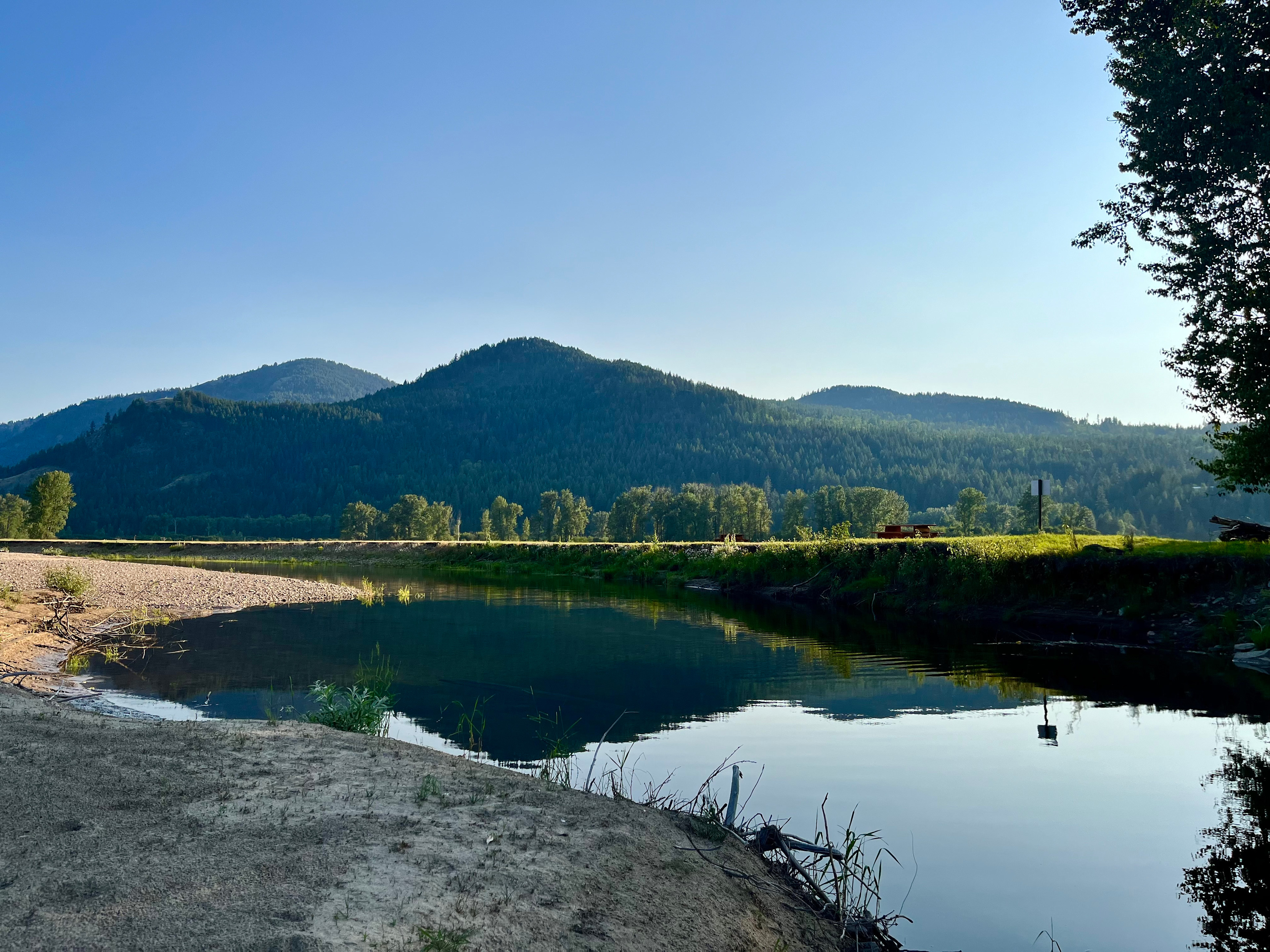
We took our RV up to Big Sky to try out this spot for 2 nights. It was great! Private and beautiful views. The first day there all of the spots were full (there are only 6 spots) but we had the campground to ourselves the entire next day. We swam, hiked around and relaxed in the sunshine. Our pups had the best day playing in the river and discovering frogs. Definitely recommend!
See more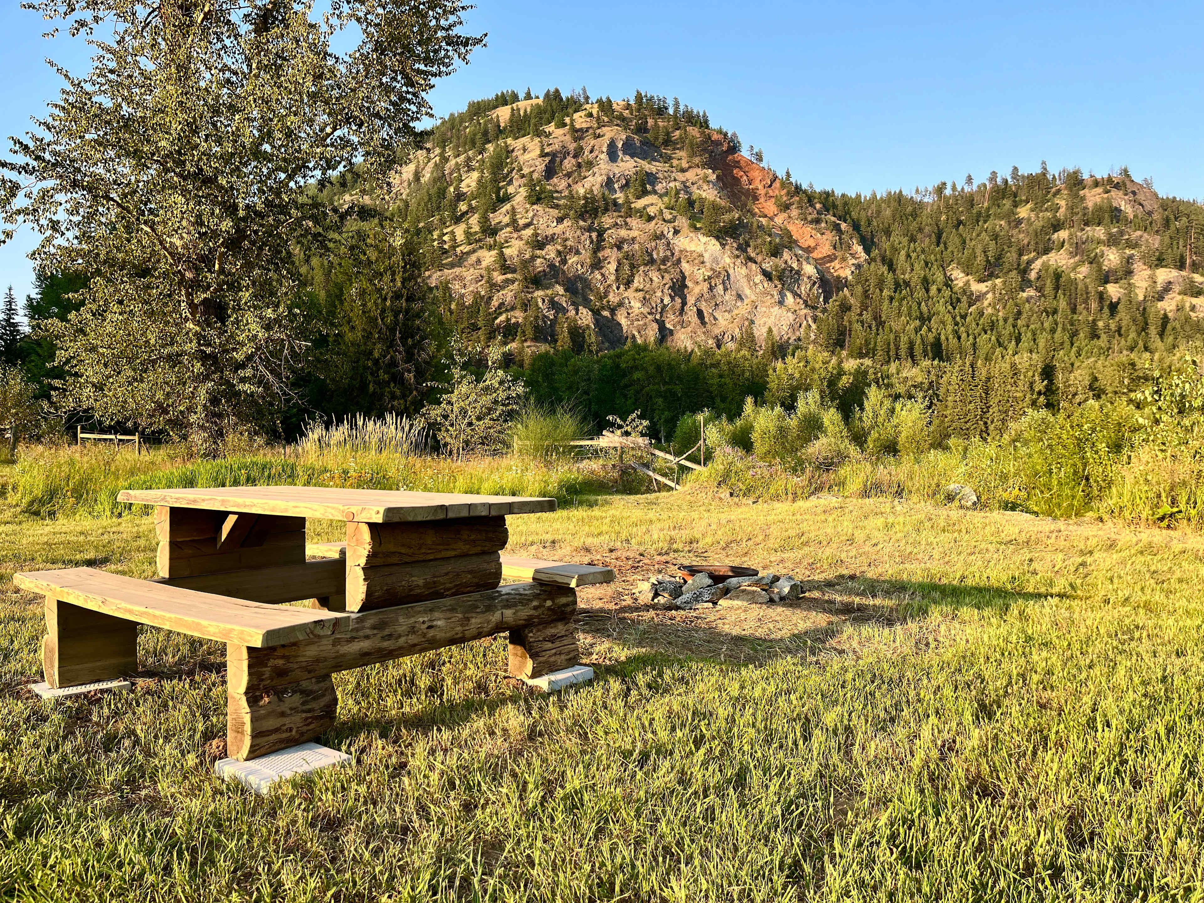
S
Seth
August 2025
25 ft travel trailer
With pets
Decent place to over night. Very bumpy heading to the sight. Had 2 port-a-potty’s on sight that we clean but lots of spiders. The host might want to number the sights as when some other hipsters arrived they ask us what sight was where. We told them to count the picnic tables. Another pro each sight had picnic tables.
See more
M
Magalie
August 2025
25 ft Class C
With kids
It was an amazing place to wake up to. We recommend this place to everyone who is passing through and needs a beautiful place to spend the night.
See moreI
Ian
August 2025
Tent
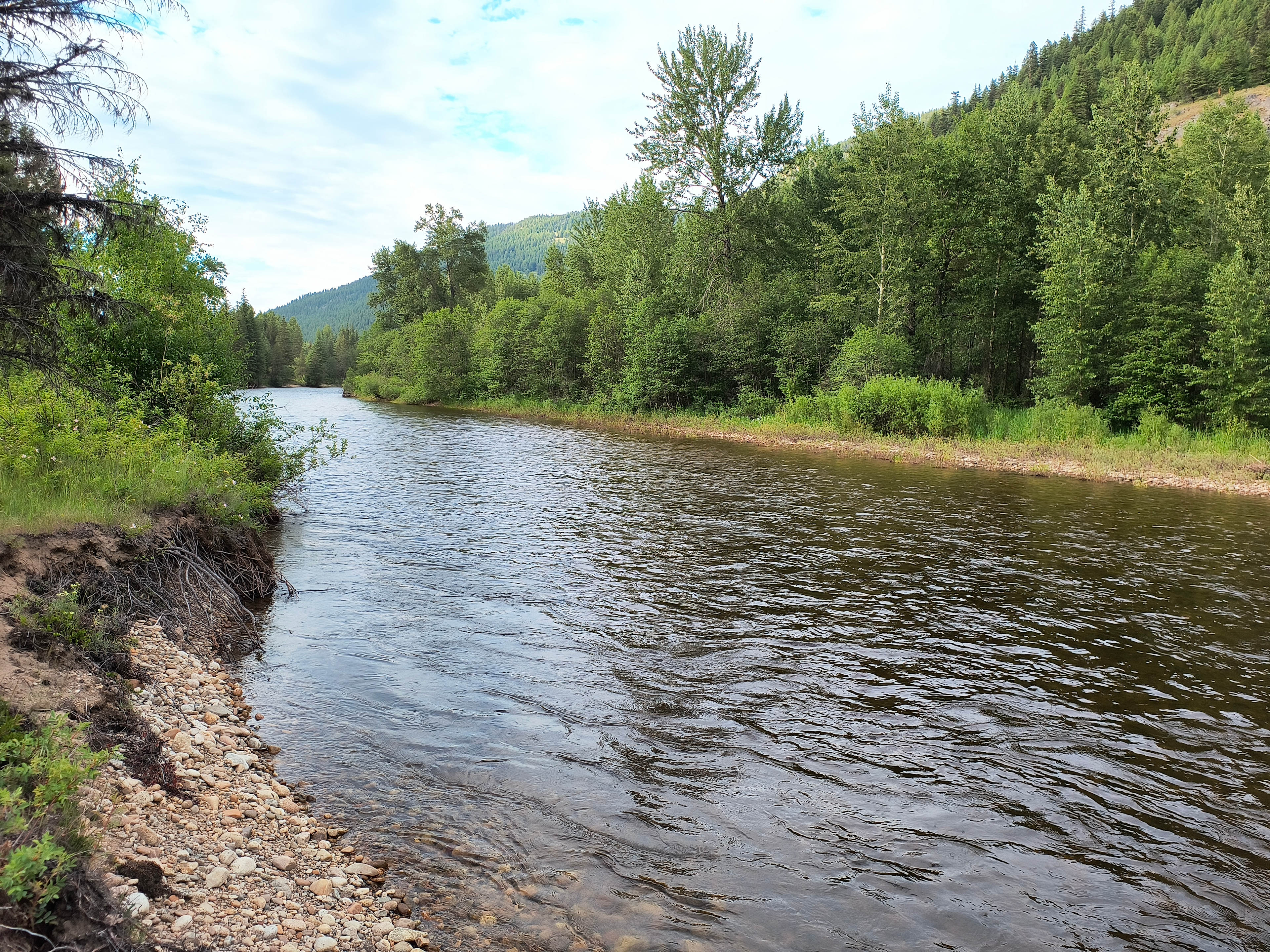
Beautiful location, quiet and clean. Stars are gorgeous on a clear night. Bathrooms were porta potties that were clean and stocked with nice toilet paper. Decent fishing in the river. 20 minute easy drive from downtown grand forks. Flat ground for tents.
See moreM
Matthew
August 2025
Tent
Very welcoming, with great wine and views. Would recommend to friends for a weekend in osoyoos
See more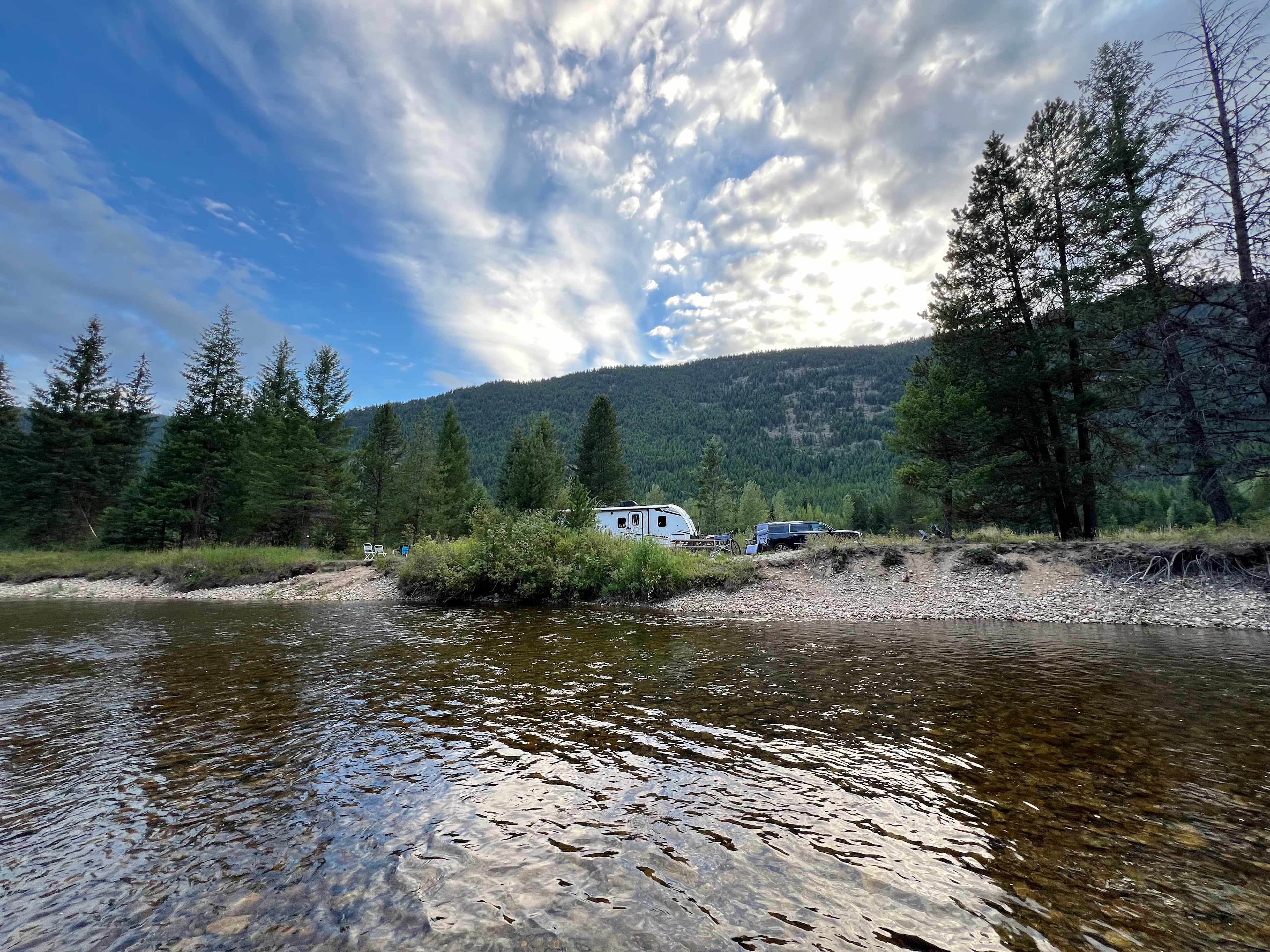
H
Heather
August 2025
Tent
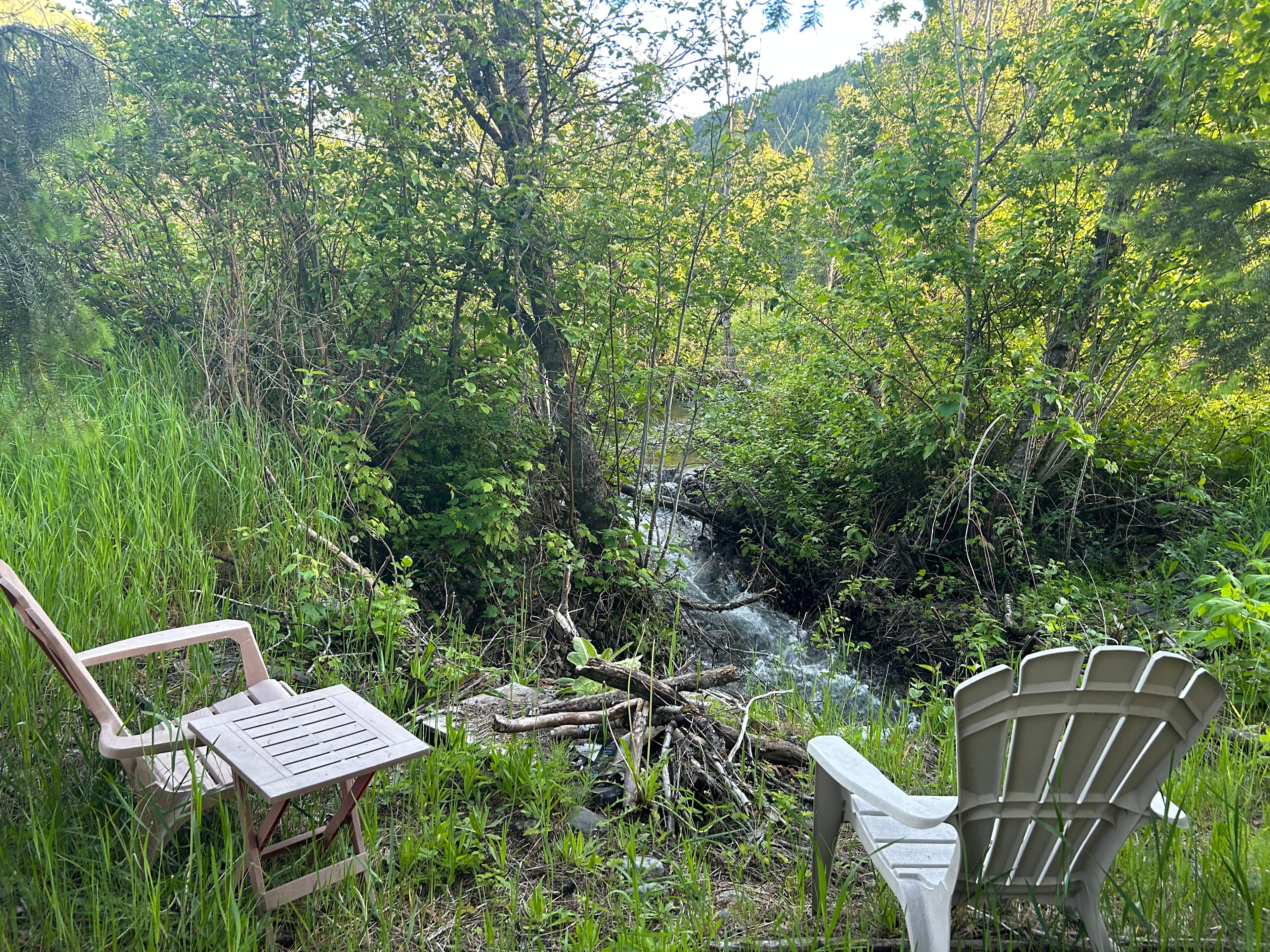
Site #2 was in a gorgeous spot right on the River. We were able to back our 25 ft. Travel trailer into it. Uneven soft ground but leveling blocks worked. Caught (and released) a 12 and 16 inch rainbow trout right from our site. No potable water and outhouse is a really long way from any site, but with trailer we were self contained. Site 10 is at the road in dirt. Sites 5-9 are between KVR road and river. Definitely needs to be mowed before staying on those.
If you are looking for a quiet and beautiful off grid location, sites 1 and 2 are for you.
See more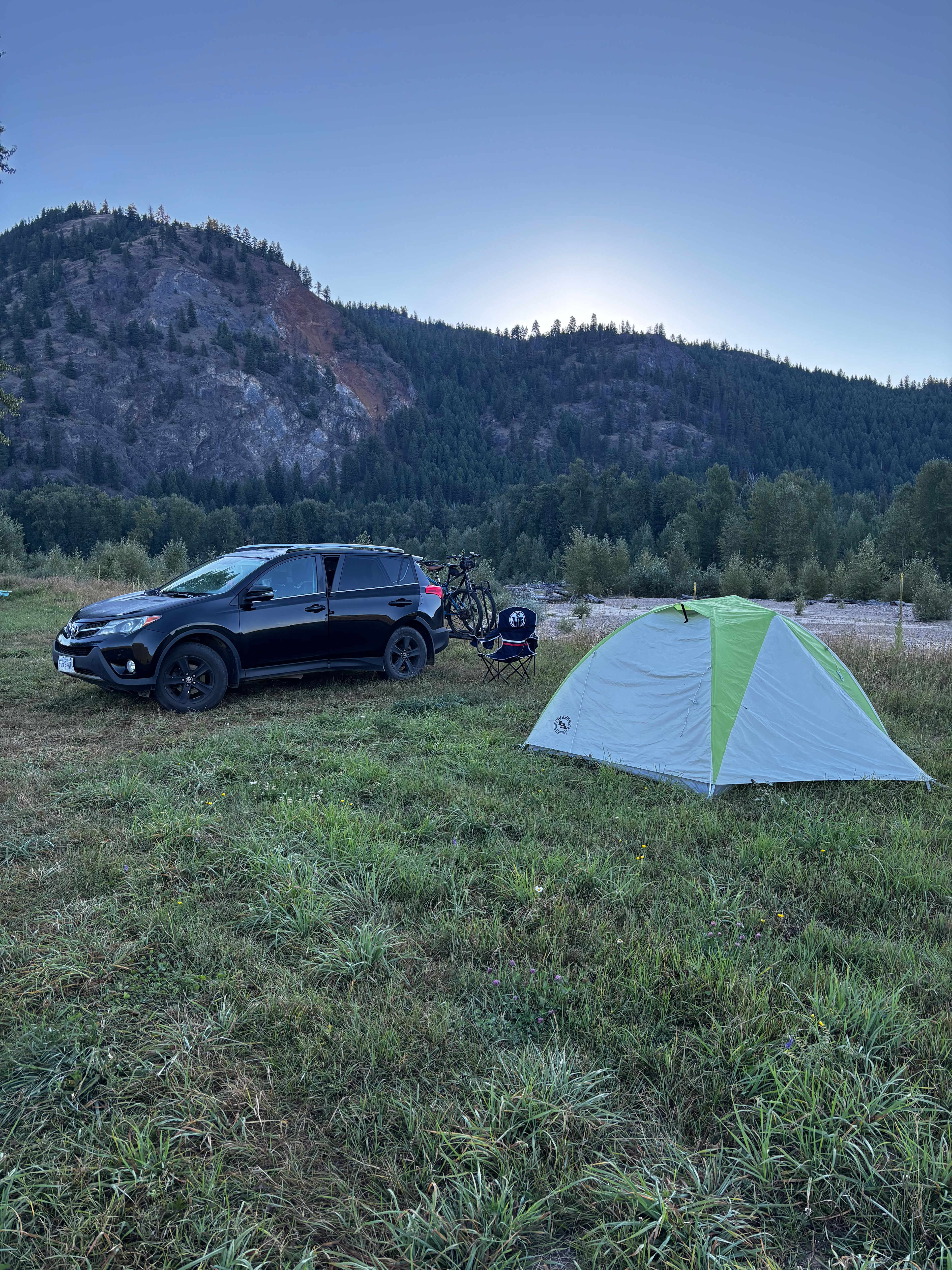
C
Crystal
August 2025
Tent
Beautiful, peaceful spot right on a river with sandy banks to hang out on.
It’s not overly private with trees between sites, but they are far enough away from each other.
There’s porta potties there too.
Basic camping, but well worth it! Never saw so many stars in my life!!!
See moreB
Brandi
August 2025
16 ft car
With pets
Very nice place. Isolated. The creek is the best. The peace and quiet was amazing.
See moreR
Rob
August 2025
Tent
Group trip
Quiet and spacious with beautiful views of the river and surrounding land.
See moresam
August 2025
32 ft toy hauler
Teresa was lovely to talk to and went above and beyond to make sure we enjoyed our stay! Their 'Mythology Petit Verdot' was excellent. 5*
See more
n
nick
August 2025
Tent
Awesome campsite! Beautiful creek. Easy access. Would return.
See more
J
Joan
August 2025
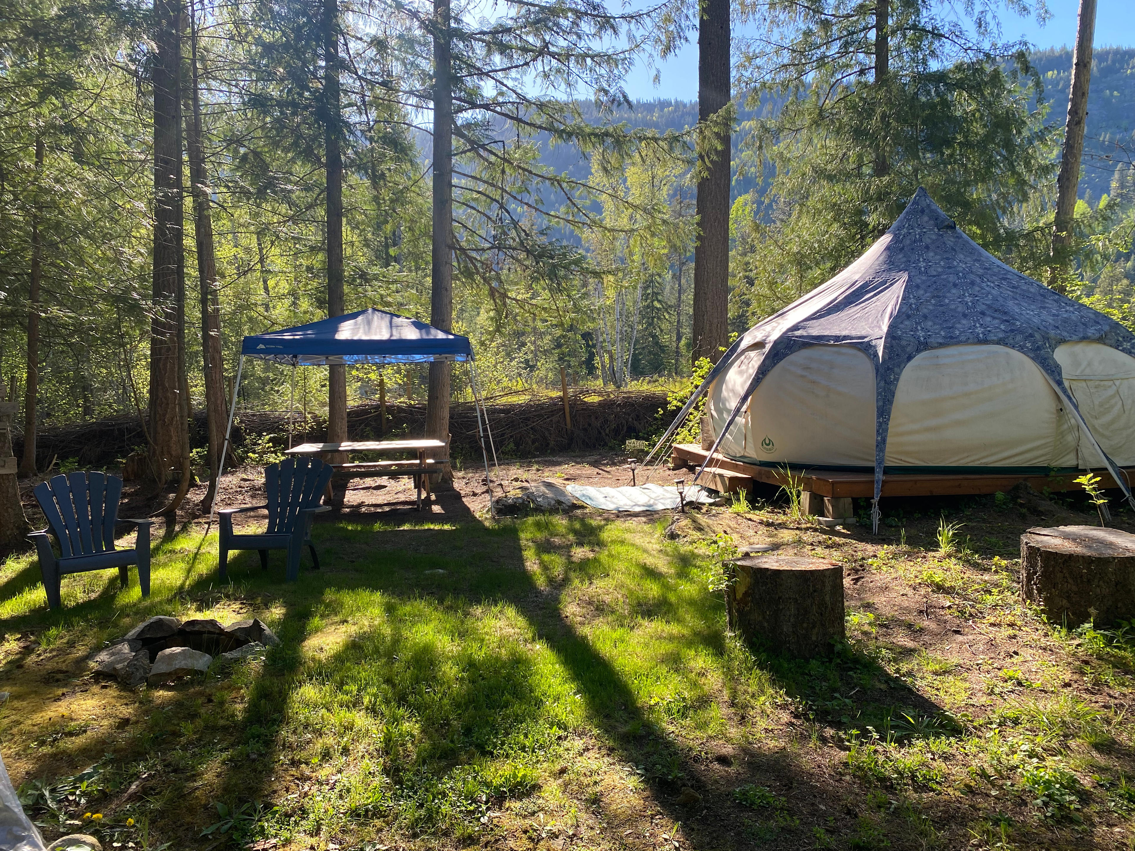
Weekend Trip to Cedar Forest Glamping
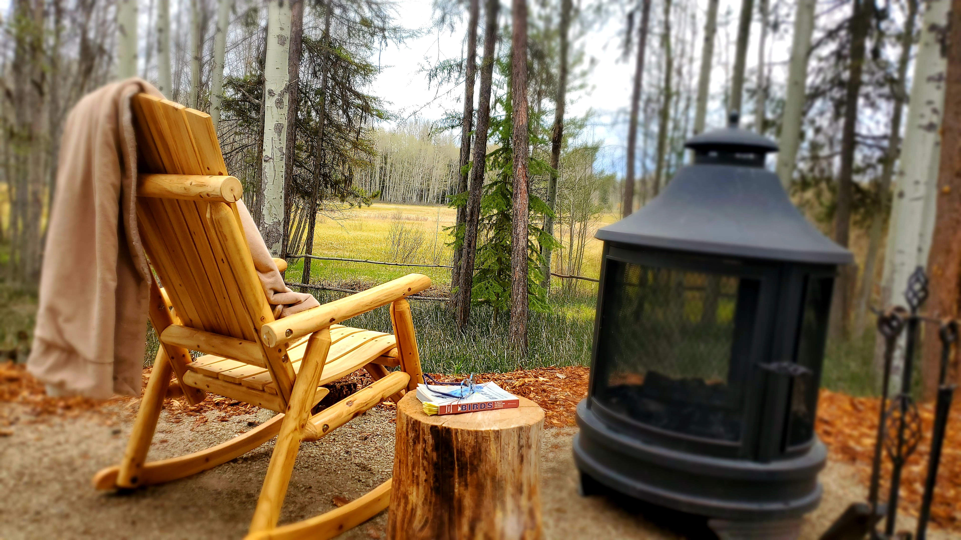
Great spot with great amenities. The outdoor shower was wonderful after a day on our bikes.
See moreC
Cammie
August 2025
20 ft campervan
The river swims and sand spits were worth the stay here. The big sky was also really amazing both with the sunrise and the stars at night.
There isn’t much privacy between the sites but the other campers were respectful and quiet when we stayed.
See more
J
James
August 2025
16 ft campervan
Loved the scenery at Arles camp! Great place for a getaway and super peaceful! Only critique is that the site numbers are a little small and difficult to see when arriving past daylight hours. Other than that I highly recommend!
See more
D
David
August 2025
Tent
With pets
Such a great property and the location is perfect!
The directions and communication was super clear, and easy to follow.
Would definitely recommend and hope to be back!
See more
Z
Zuojiang
August 2025
17 ft travel trailer
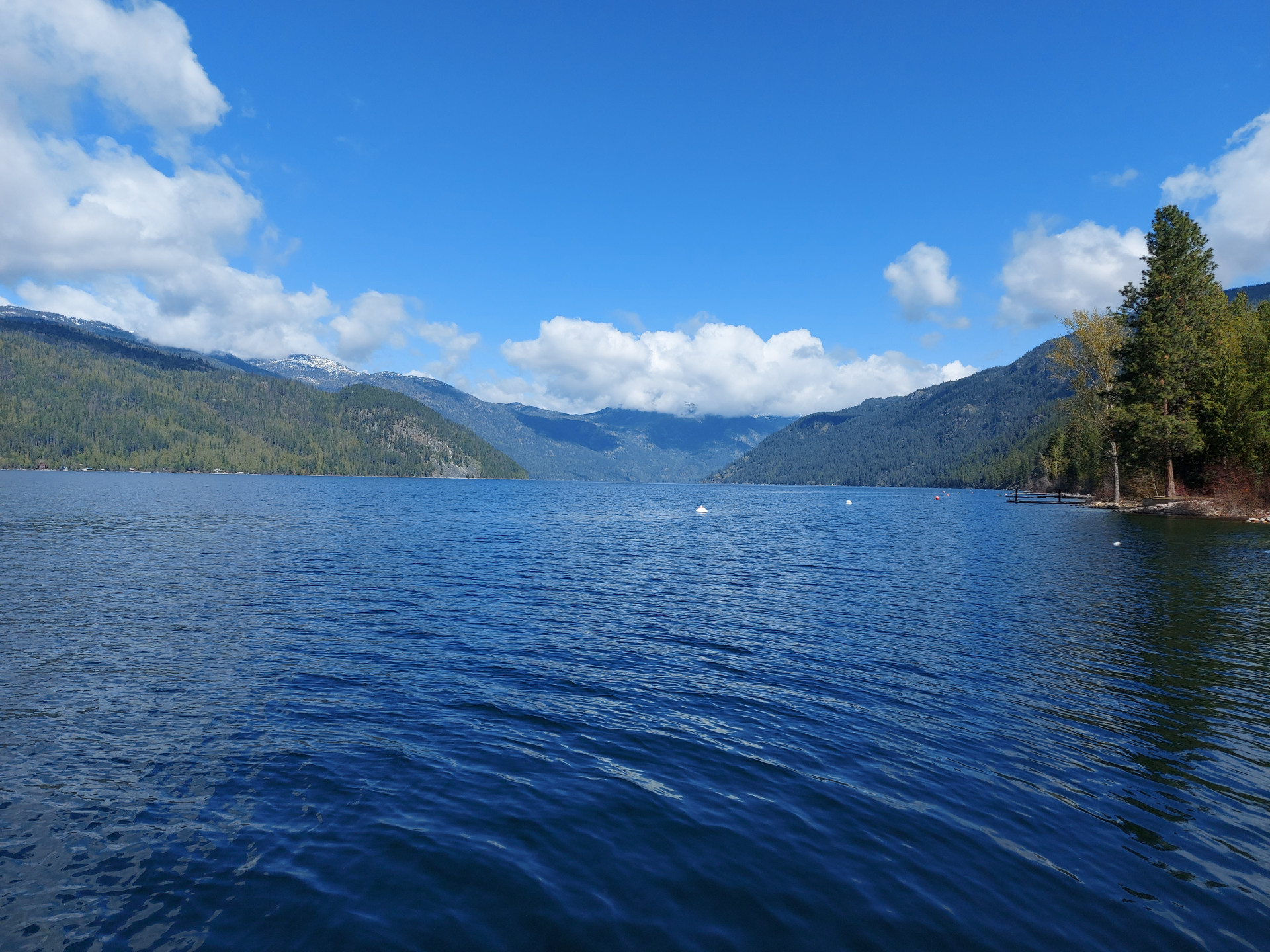
We had a good night at Rural Escape. The host is very friendly and easy to communicate with. On the way there, it has a wonderful view of the sunset and Osoyoo Lake. The campsite is easy to find and quiet. We enjoyed our time there.
See moreTop camping destinations
Other options near Grand Forks
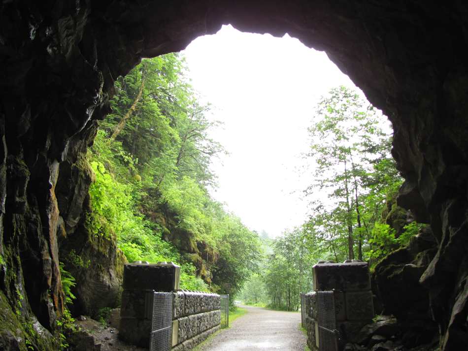
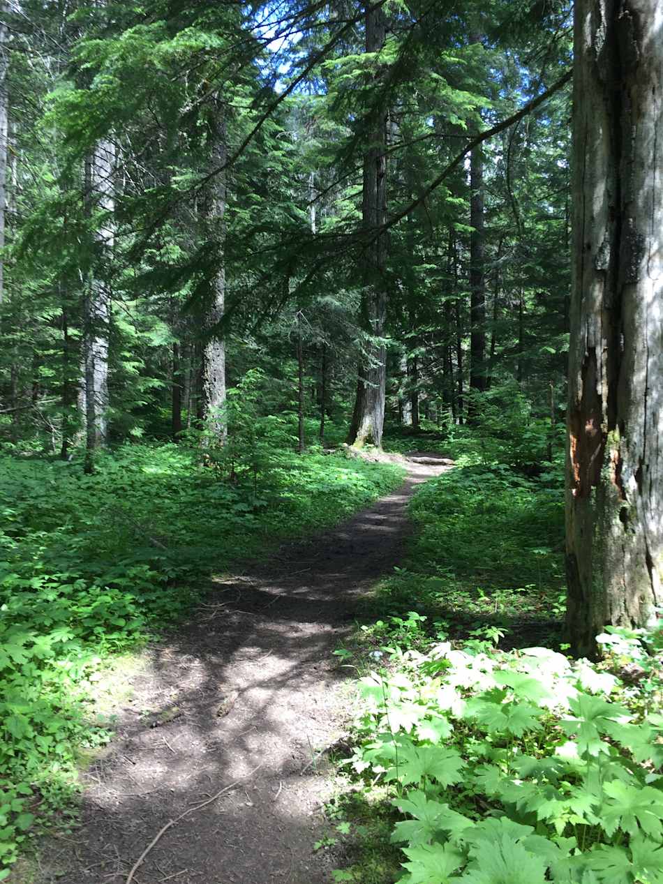
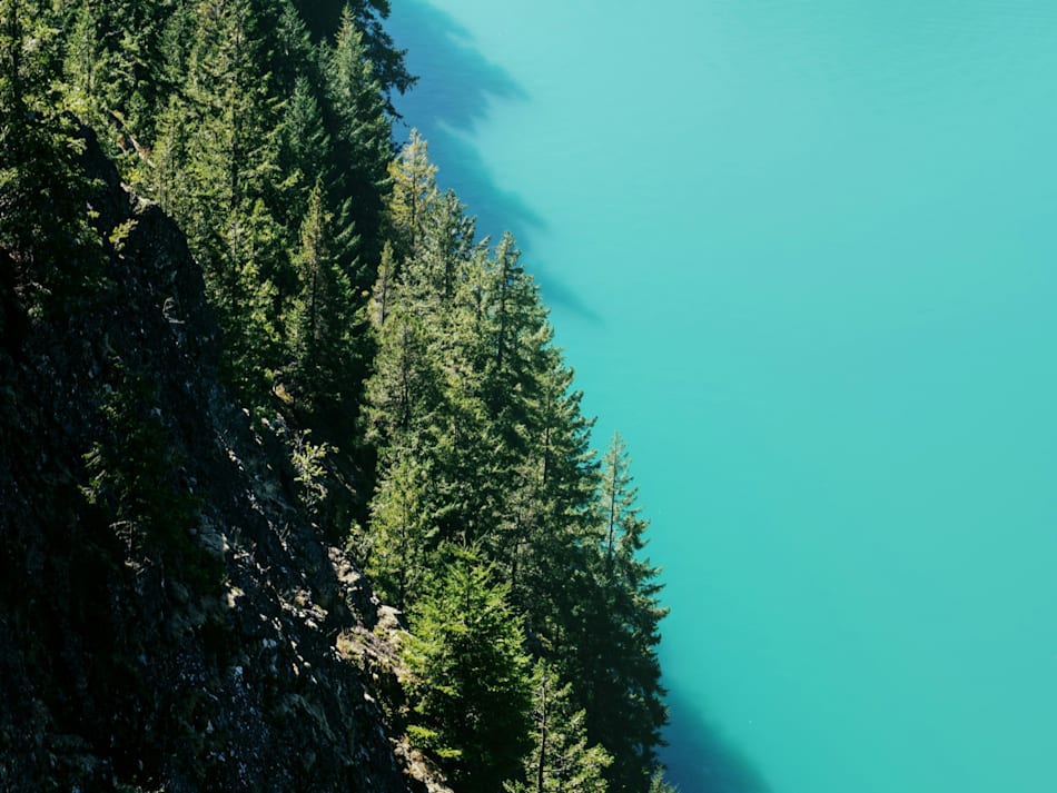
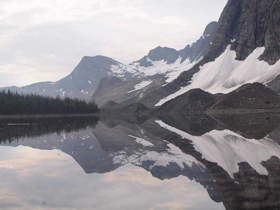
The best camping near Grand Forks guide
When to go
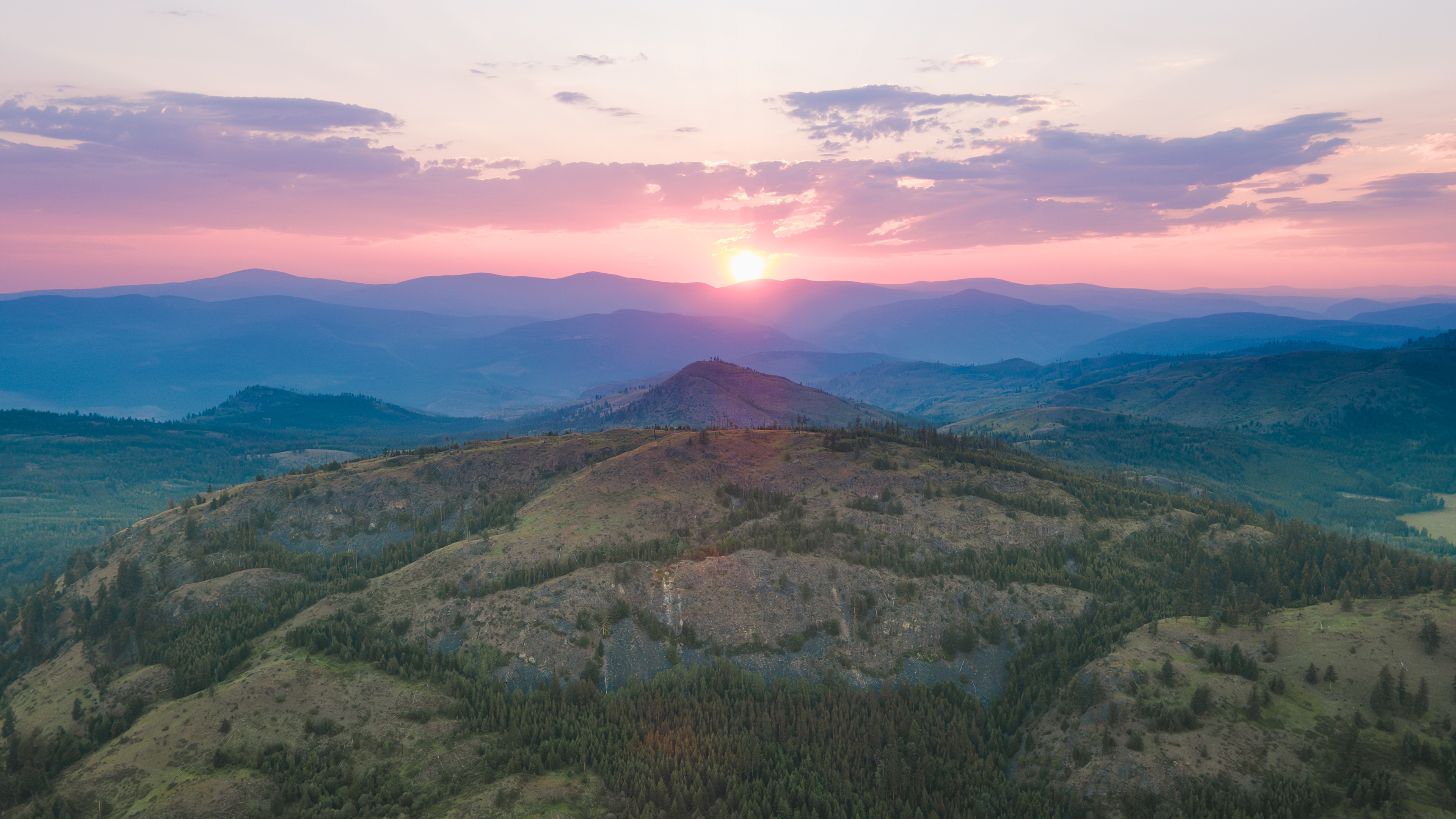
Summer and fall, when the weather is typically sunny and mild, are the peak seasons for camping in the Grand Forks area and throughout south-central British Columbia. Weekends in July and August are especially busy, so if you’re planning a short summertime trip, travel mid-week if you can. Throughout central British Columbia, snow can fall anytime from mid-October through March, and temperatures often fall below freezing. Spring weather can range from cold and rainy to sunny and comfortable.
Know before you go
- Along Highway 3, Grand Forks is roughly equidistant from Osoyoos to the west and Castlegar to the east, both towns where you can find supplies for camping and outdoor activities. While Grand Forks is small, you can buy food and others basics in town.
- Twice a week, from May through October, you can find fresh produce and locally made treats at Grand Forks Farmers Market, held in the town’s Gyro Park.
- Public transit options in the Grand Forks area are extremely limited. Unless you’re comfortable with long-distance bike touring, which is an option for exploring the region, plan to get around by car.