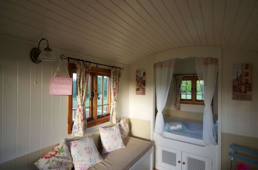
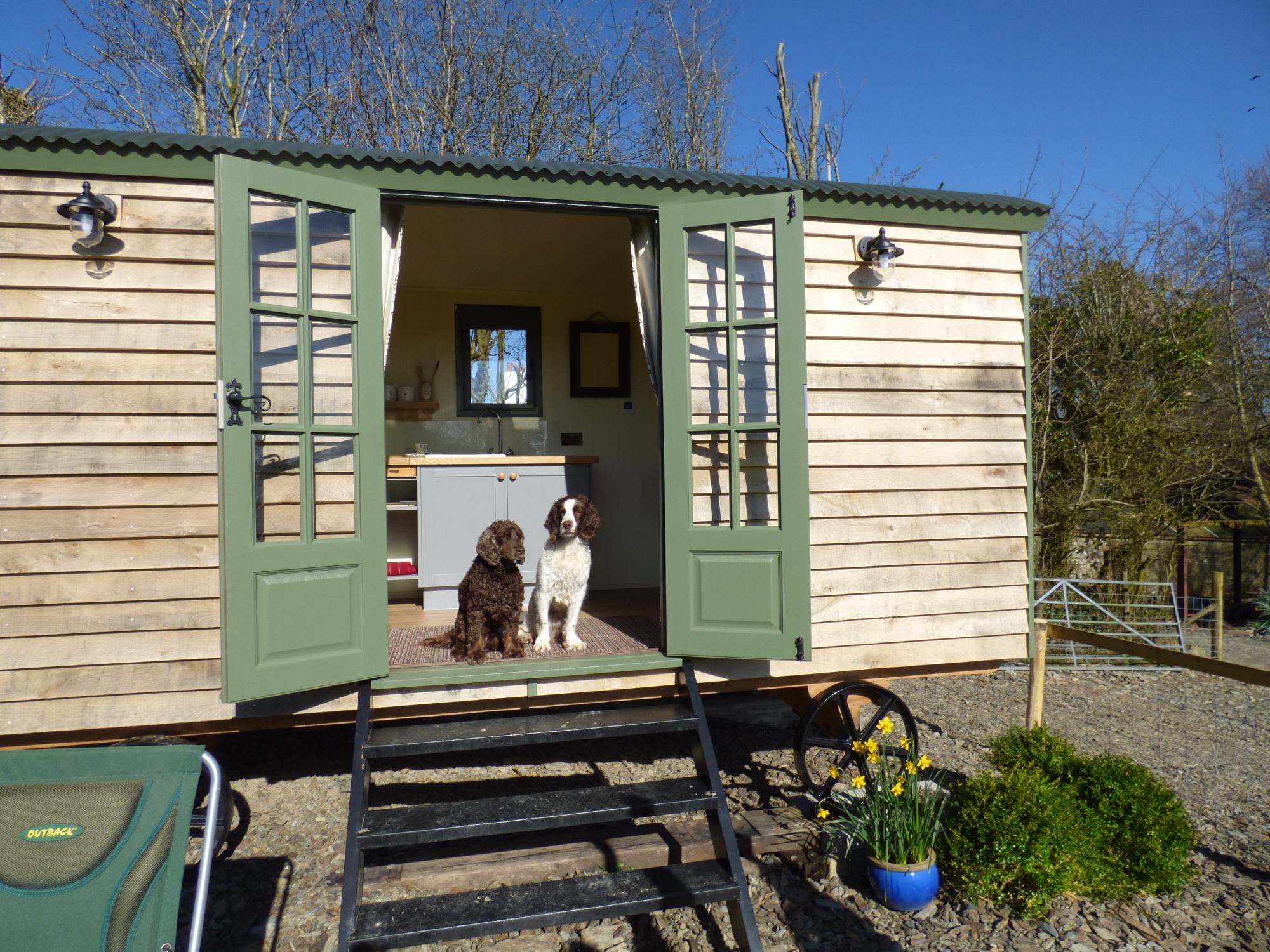
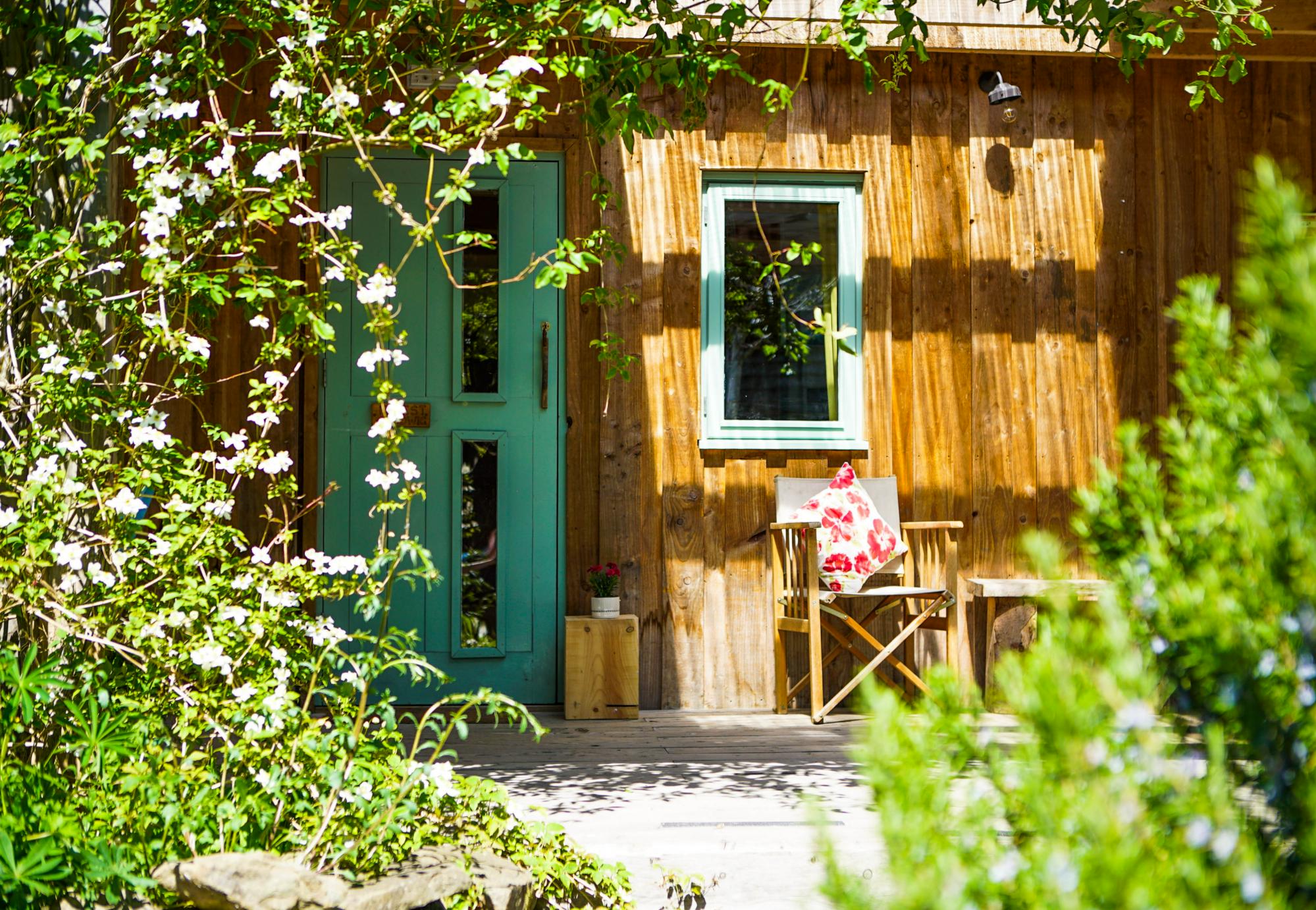
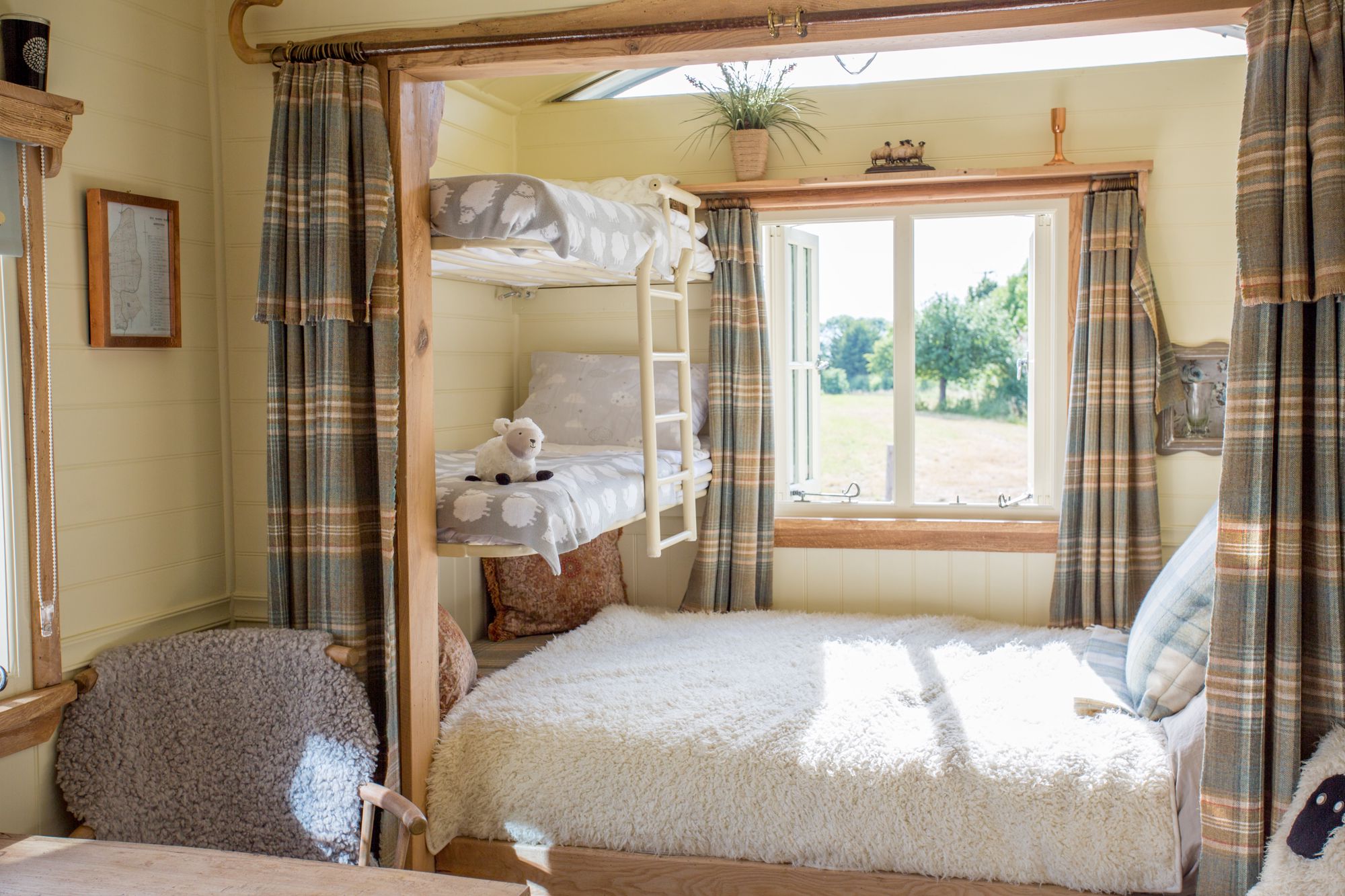
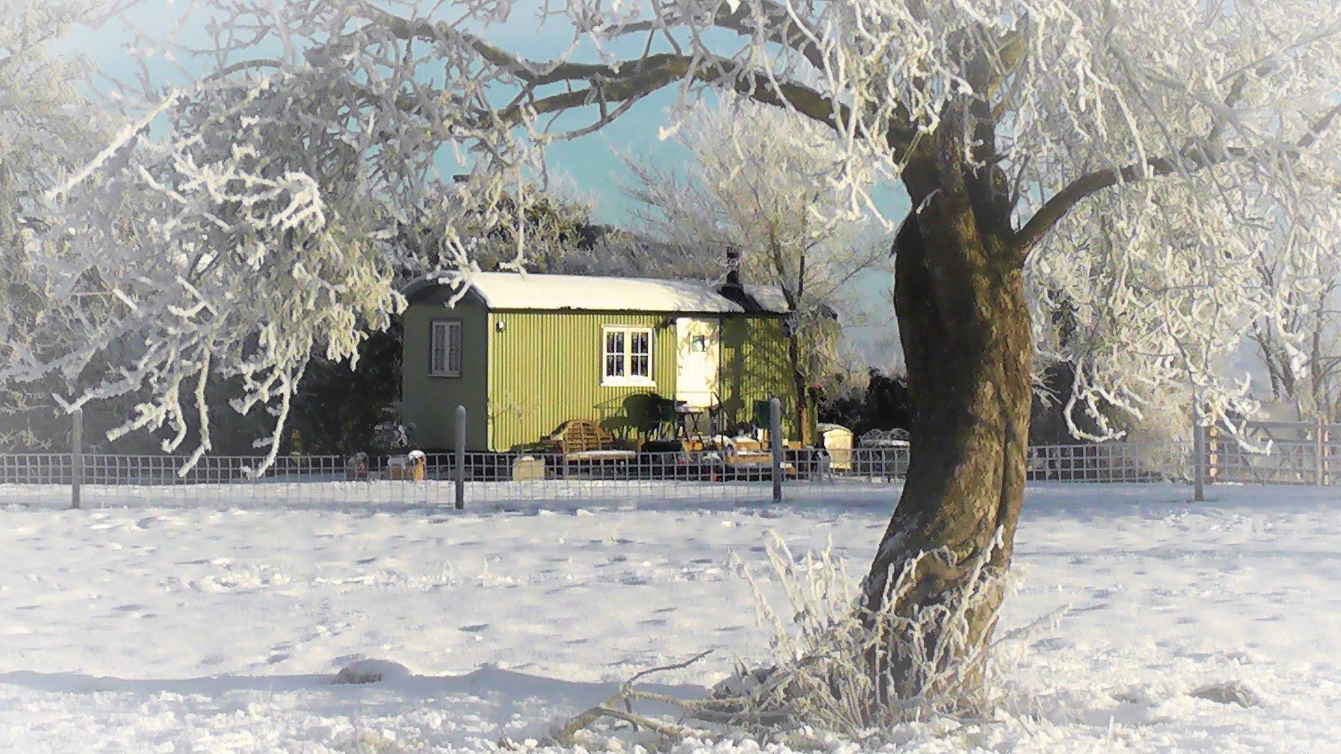
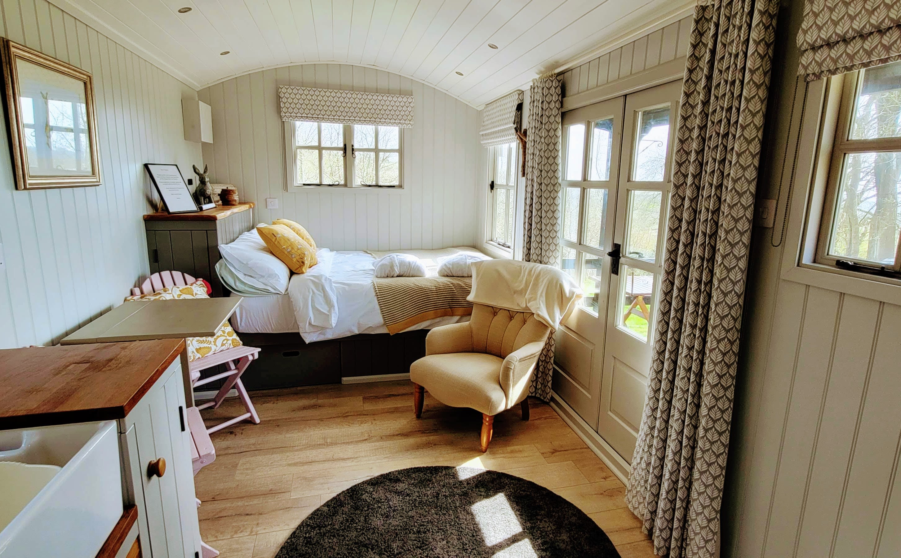
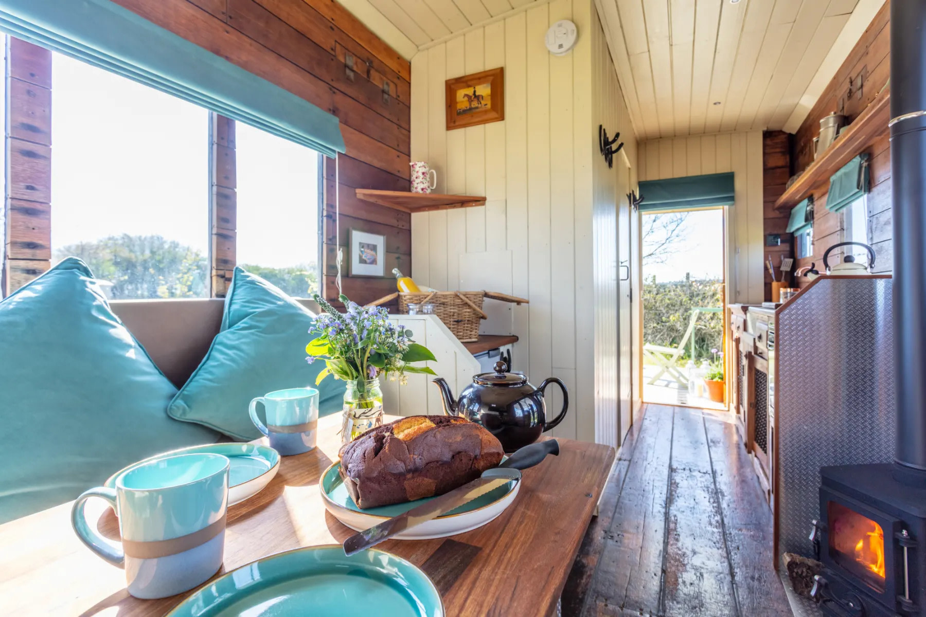
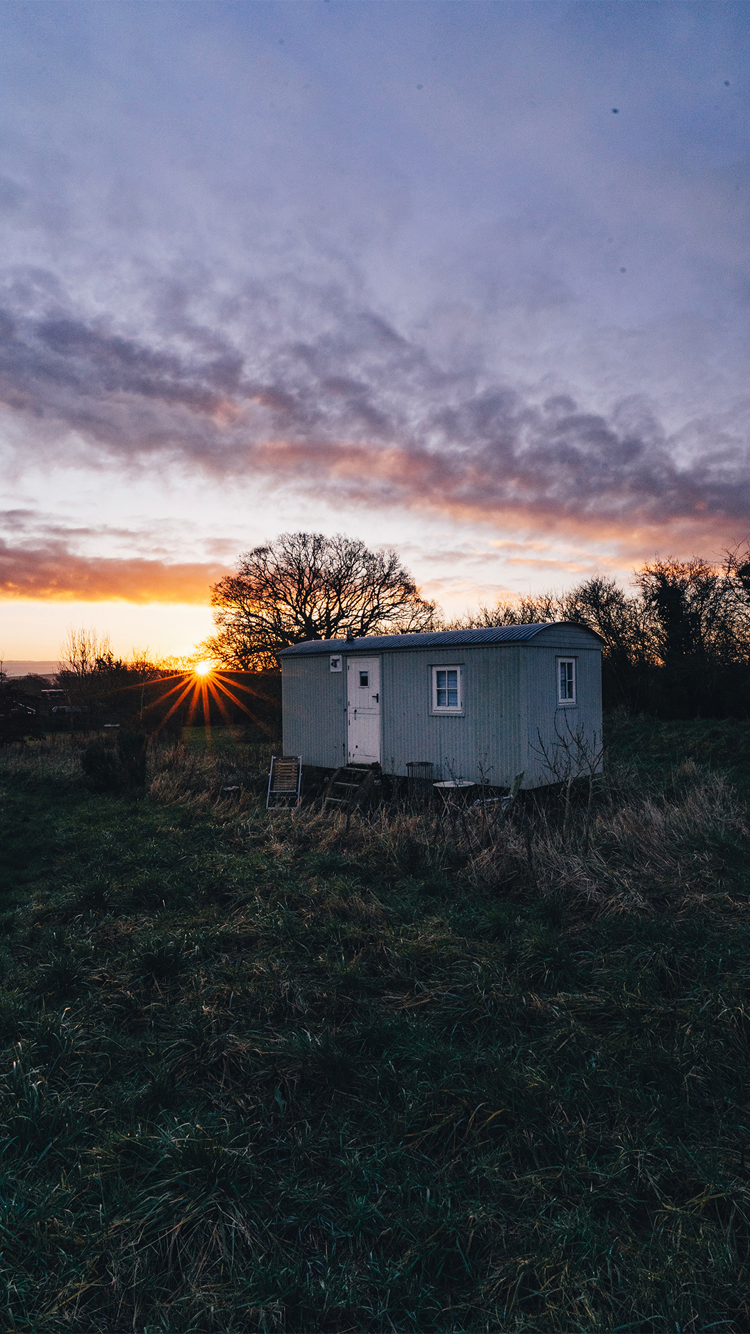
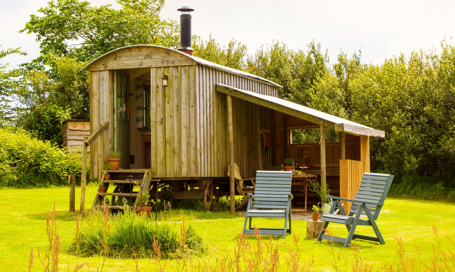
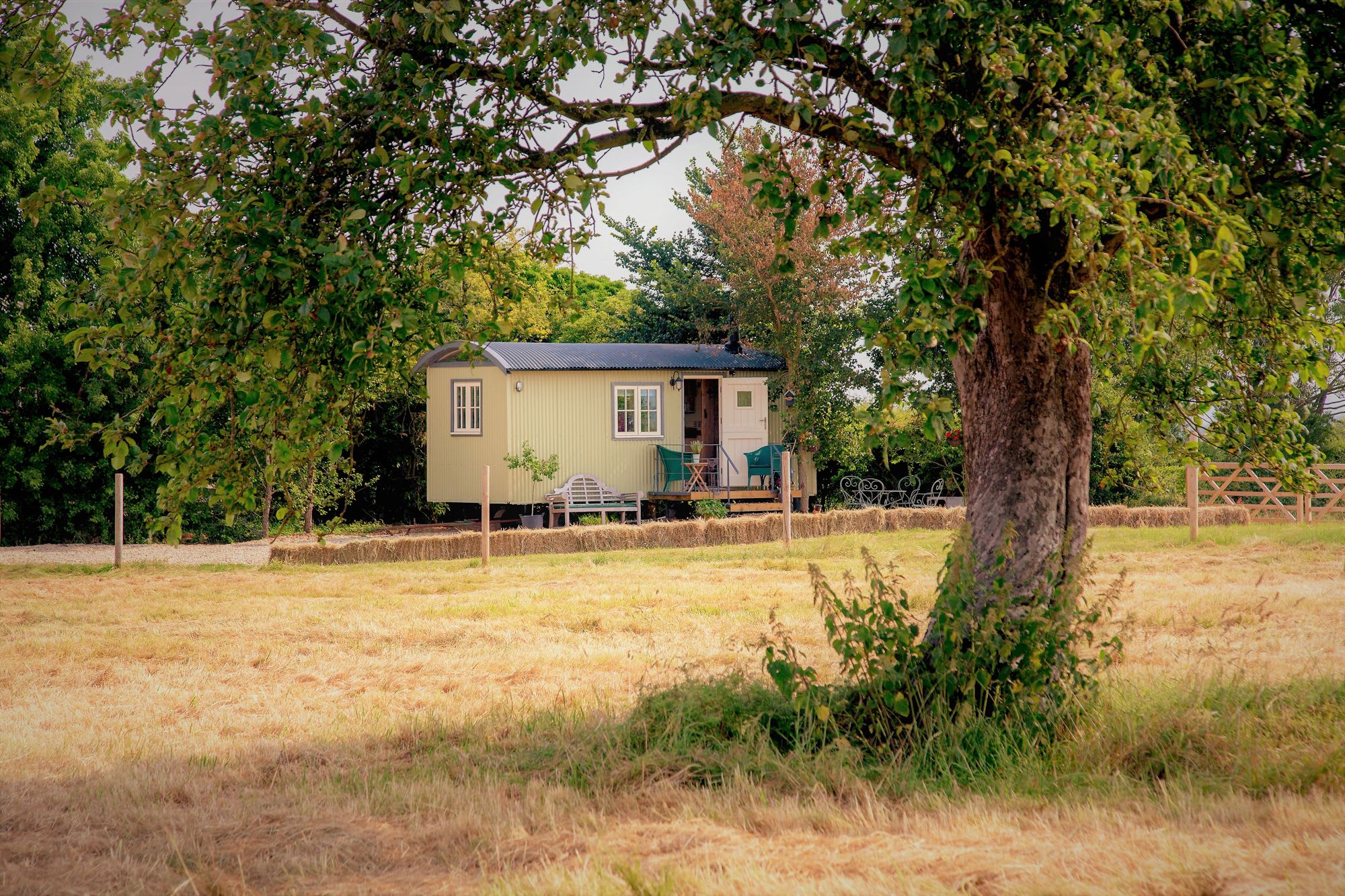
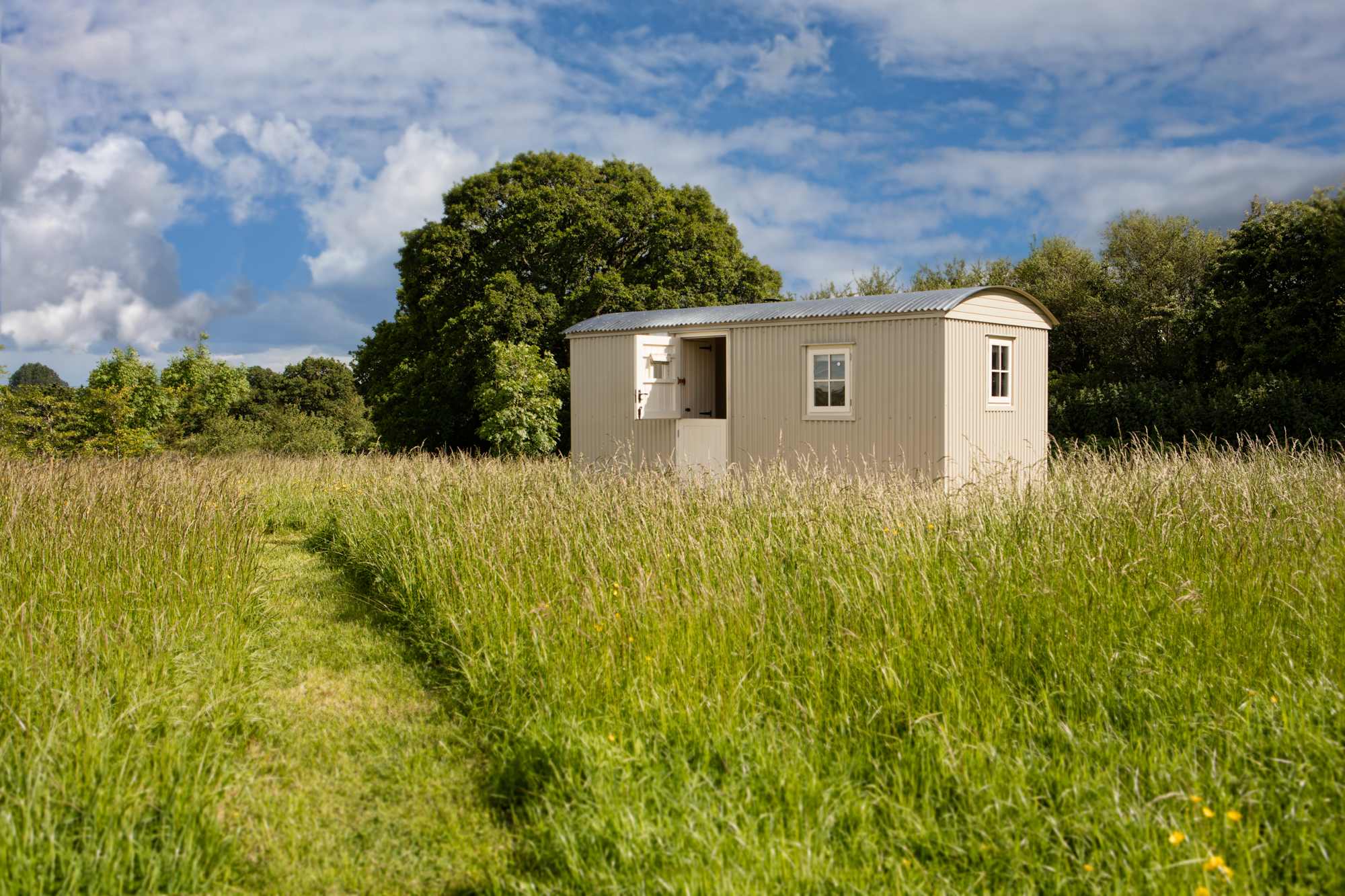
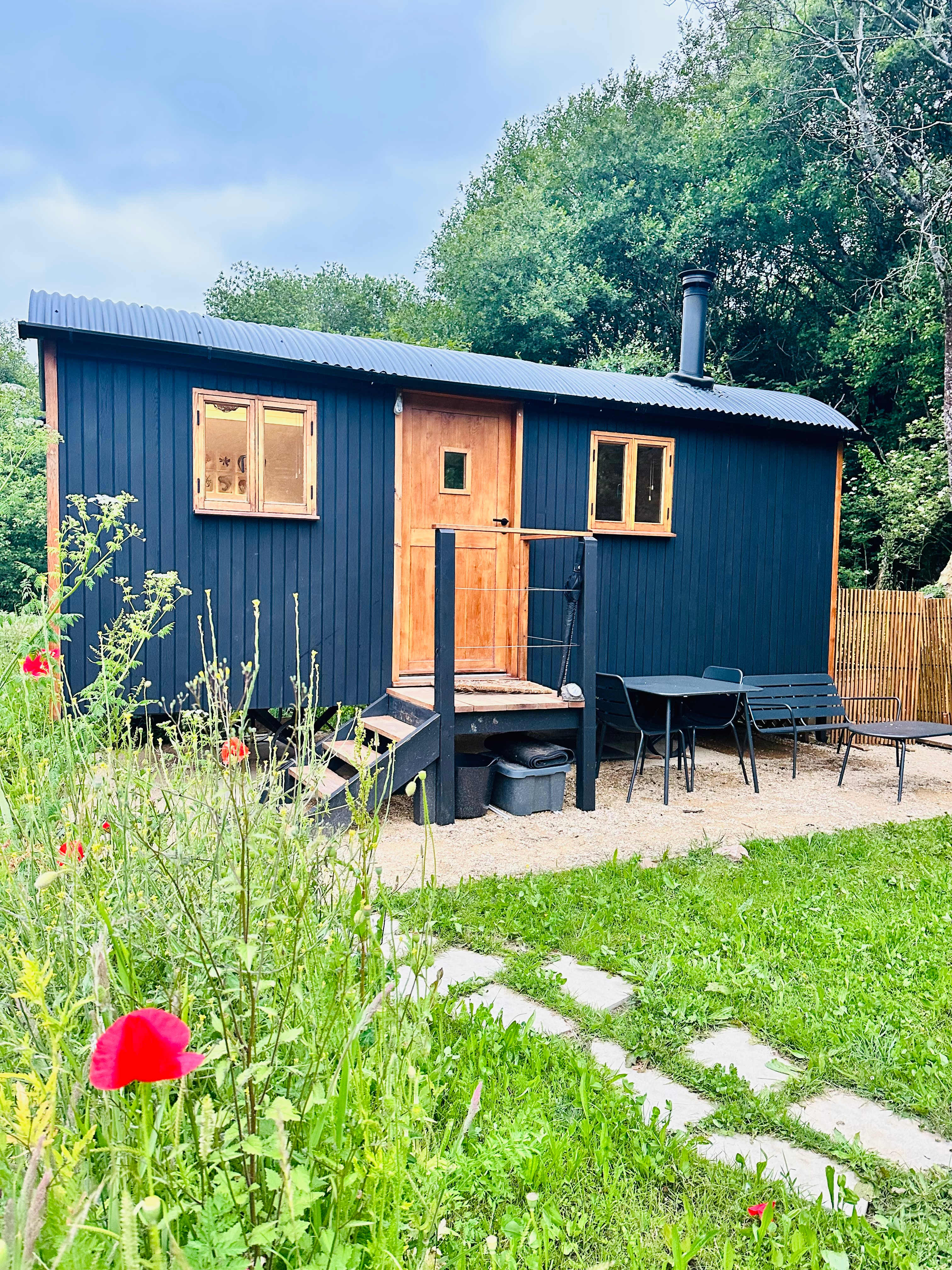
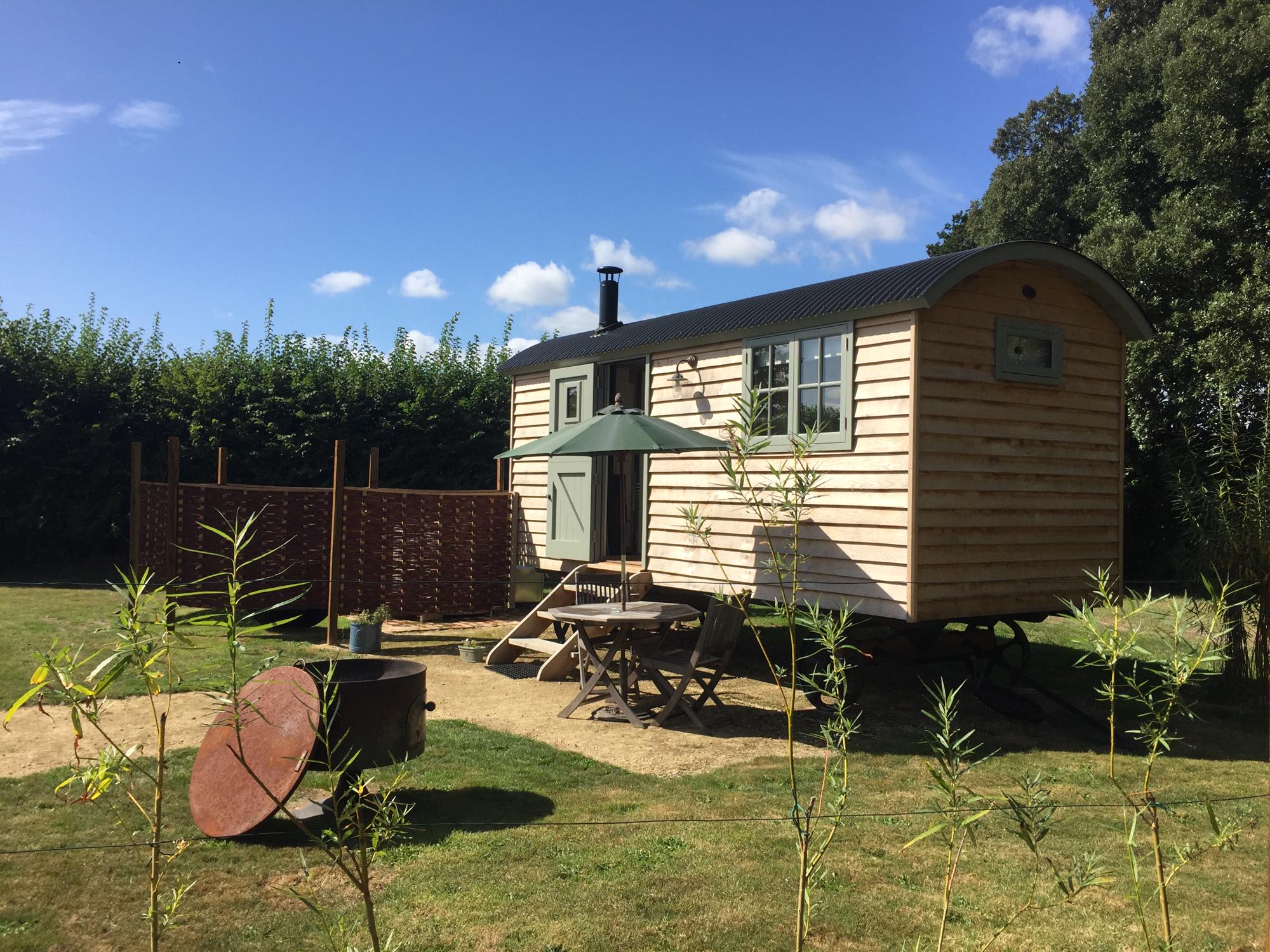
Shepherd's huts near Crickhowell
Top-rated campgrounds near Crickhowell
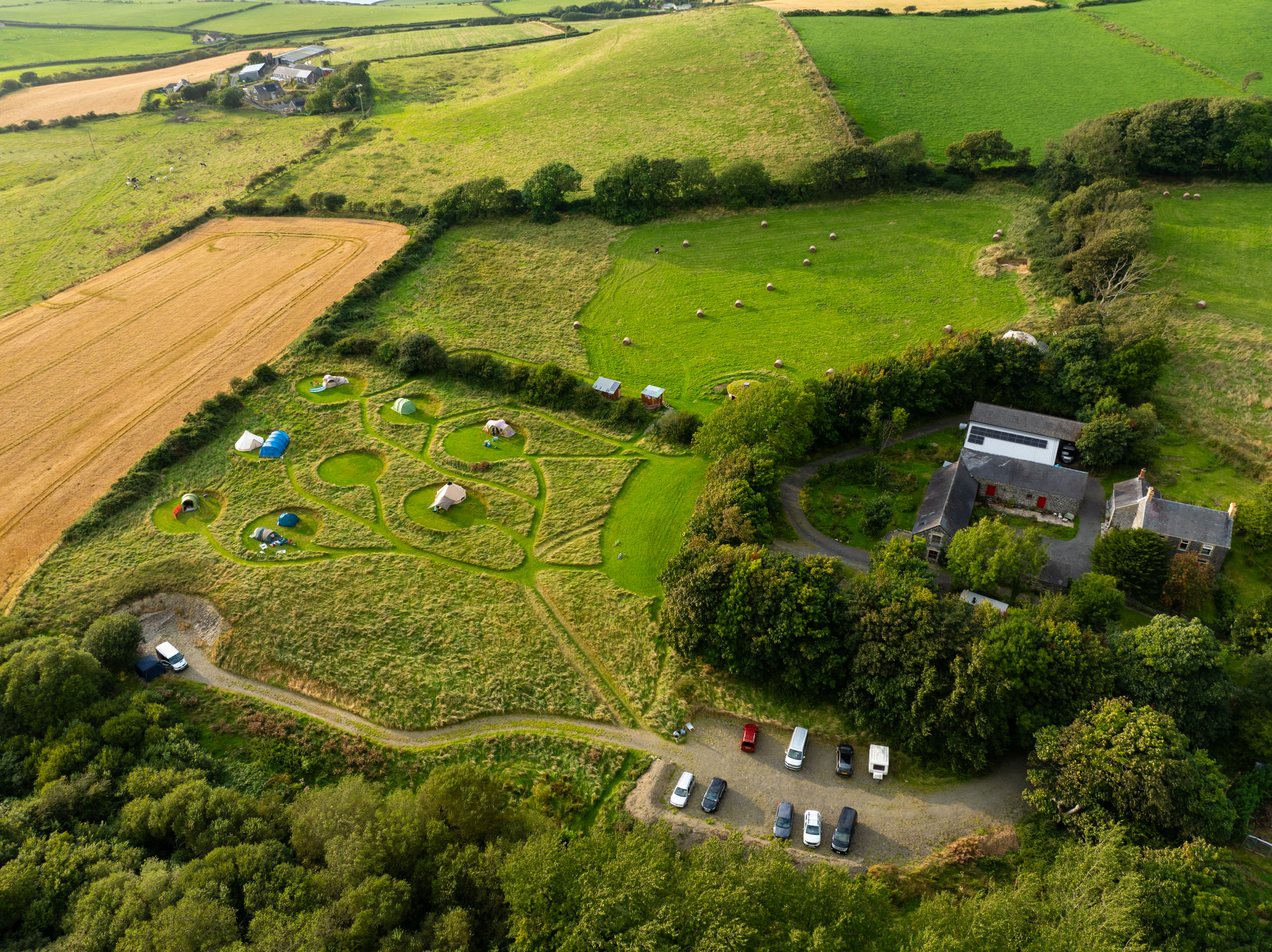
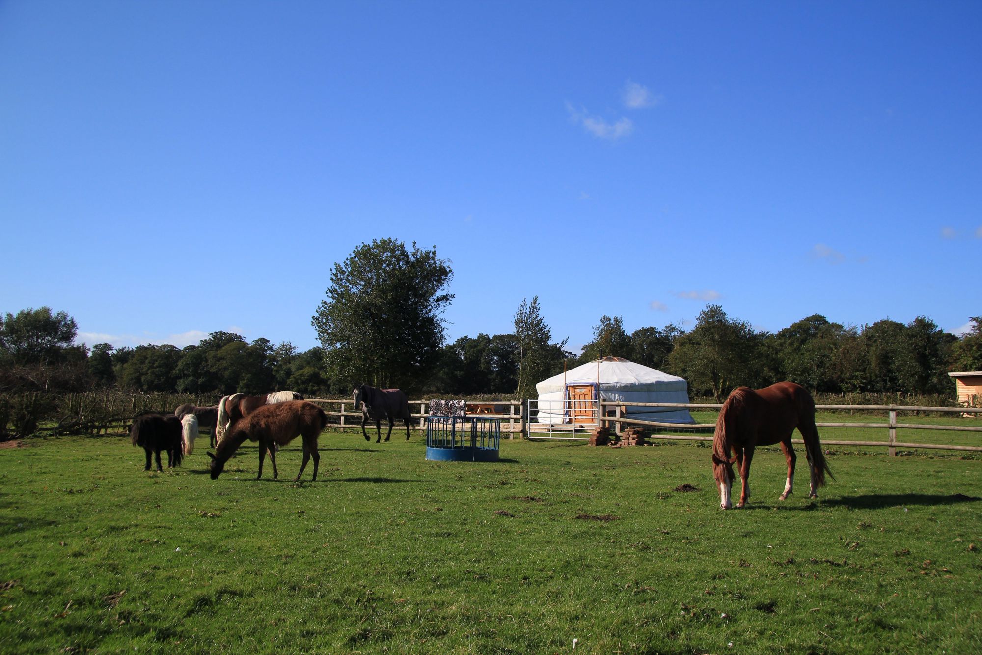
1. Upper House Farm Glamping

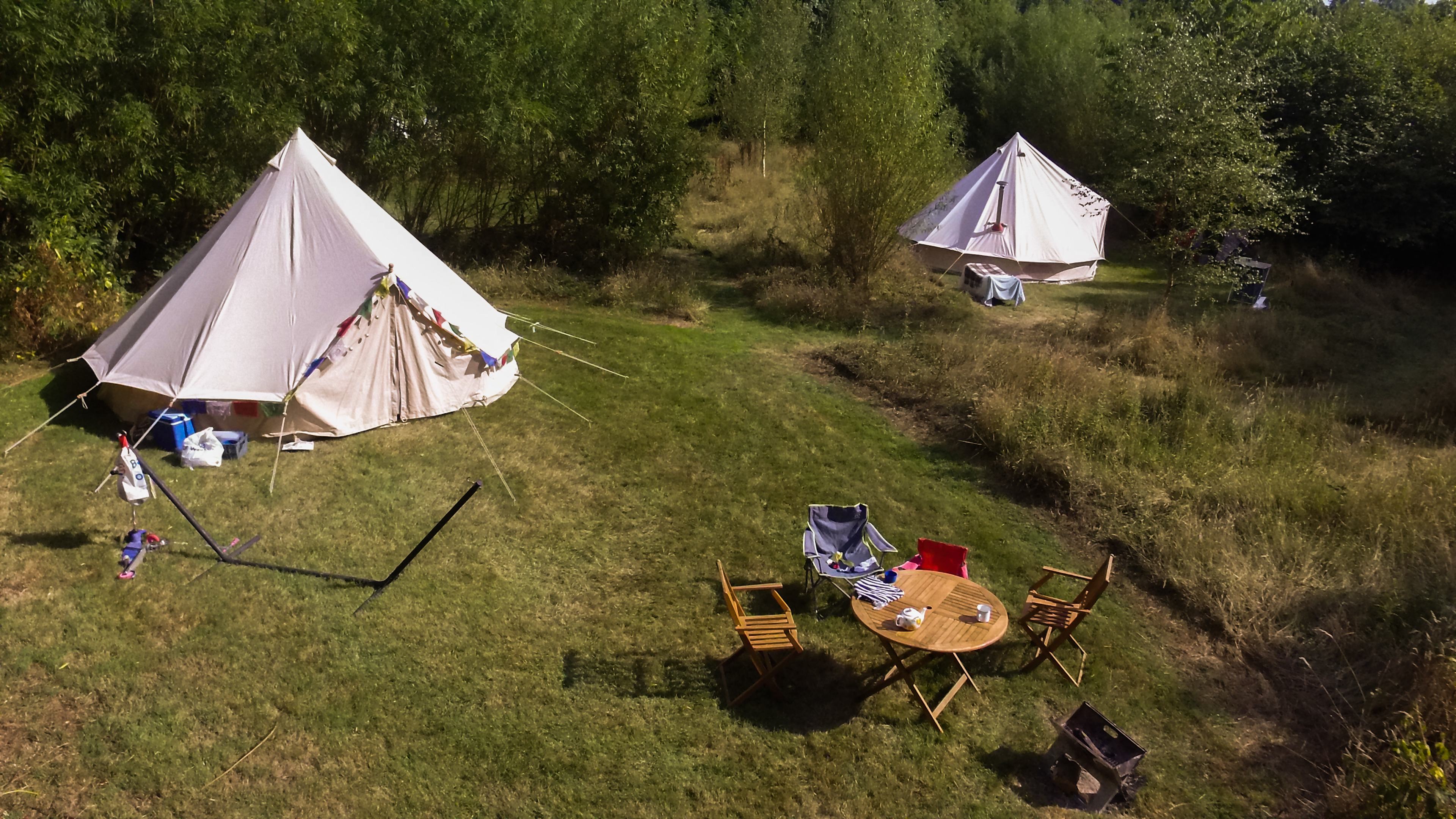
2. Digeddi Wildlife Camping
3. Broadmeadow Glamping
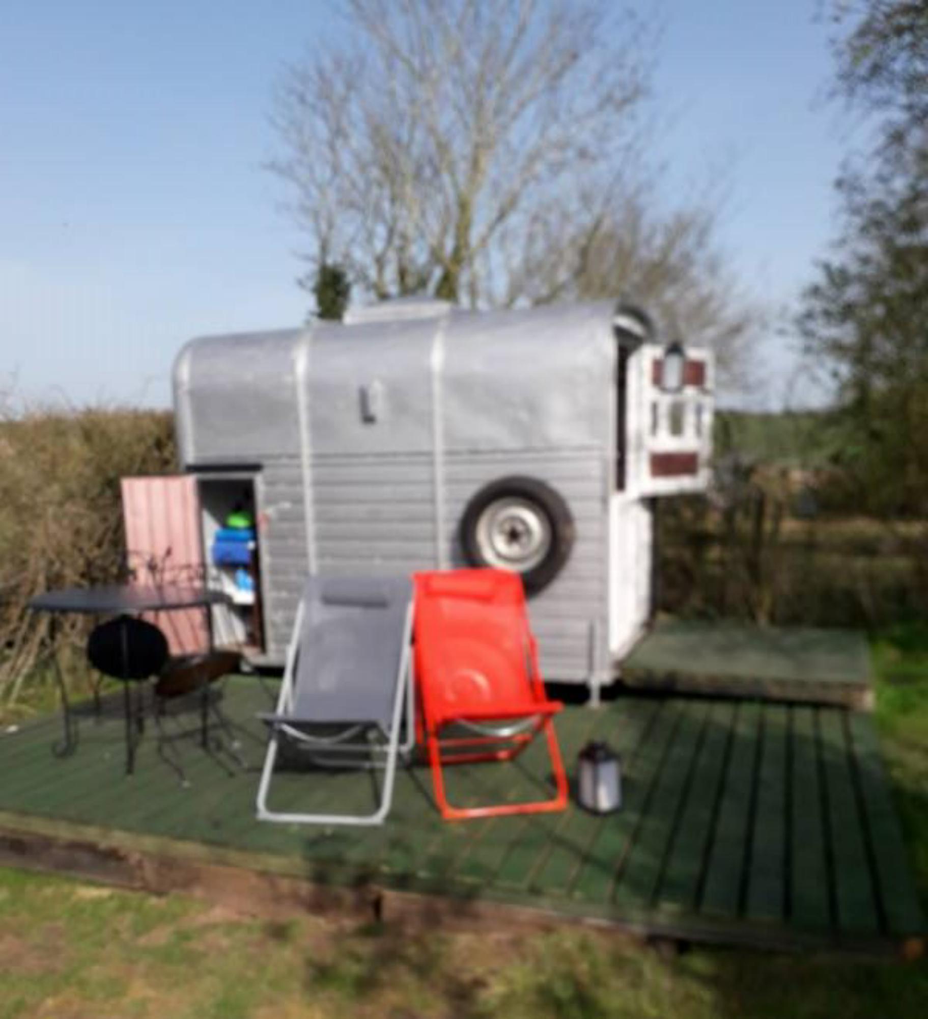
4. By The Red Phone Box Glamping & Camping
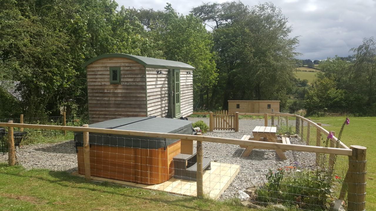
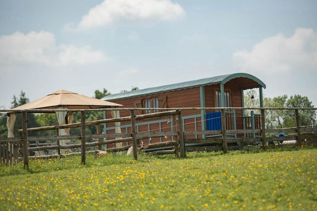
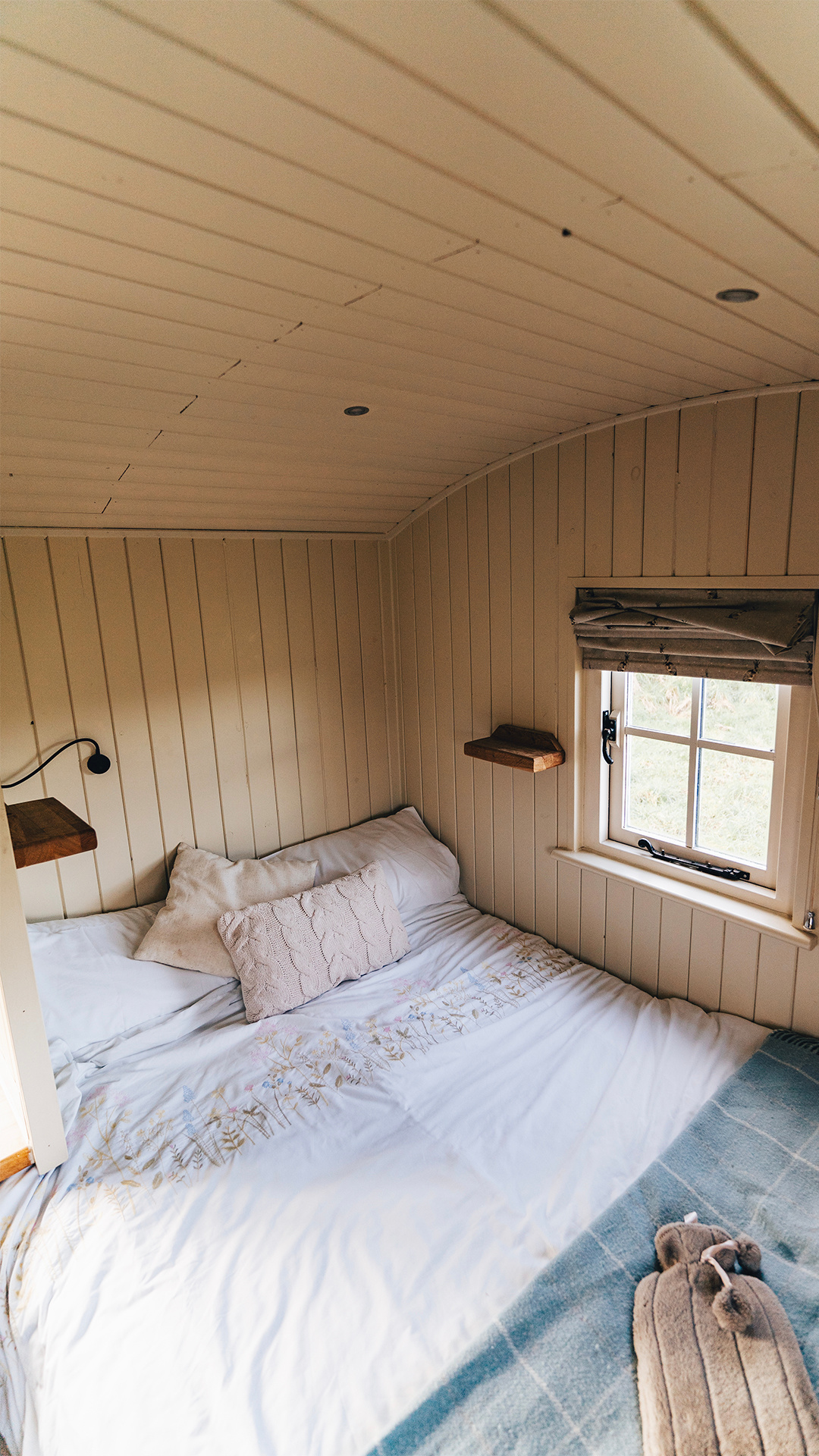
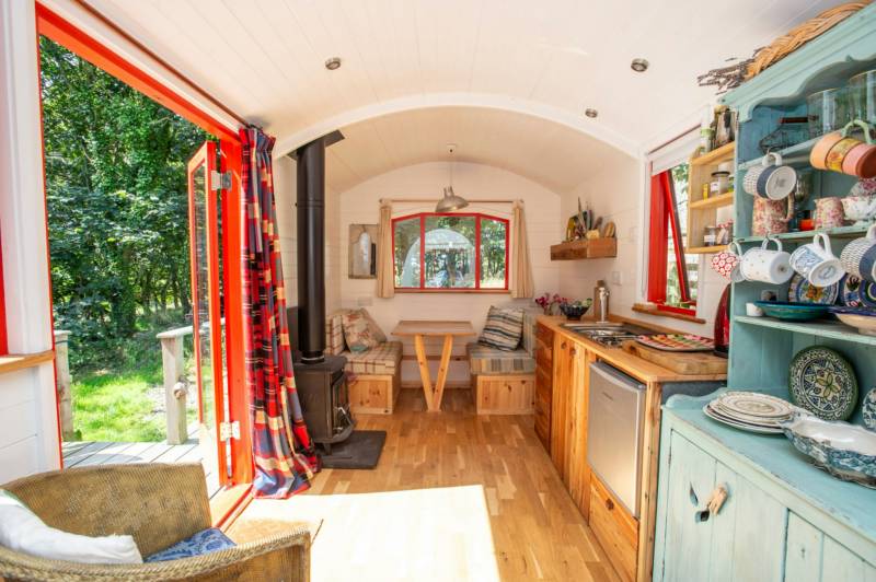
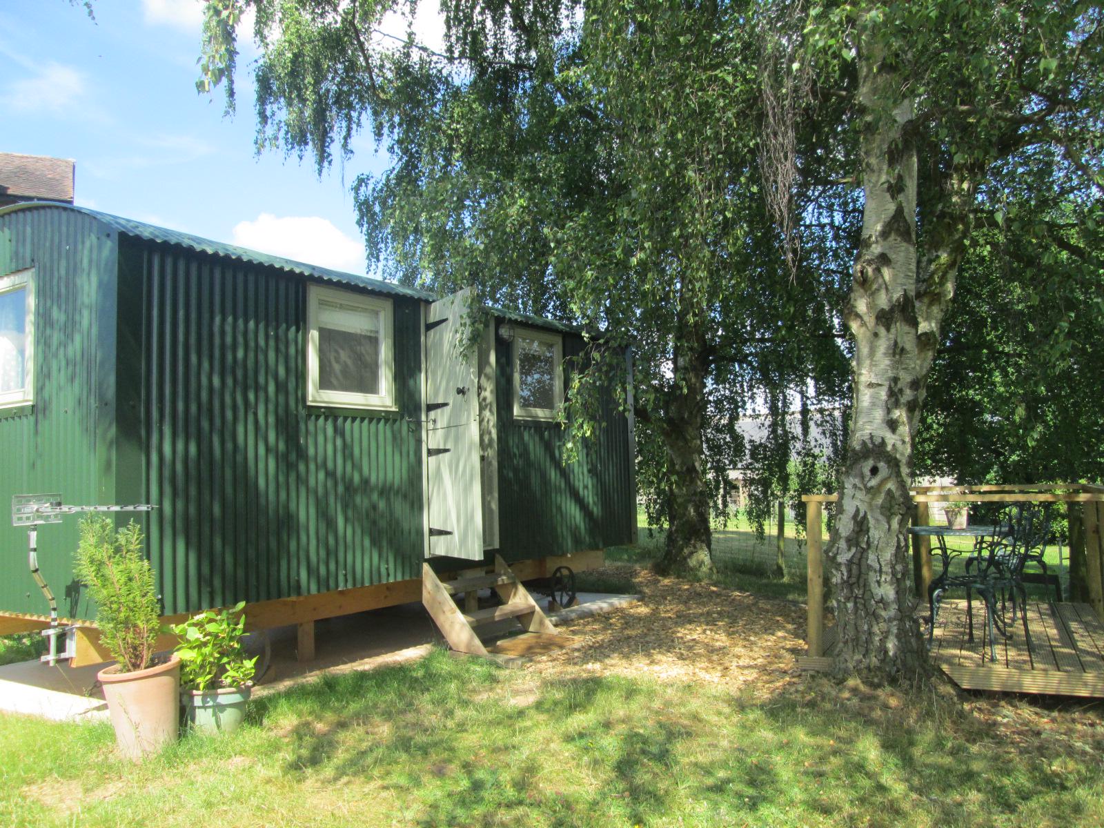
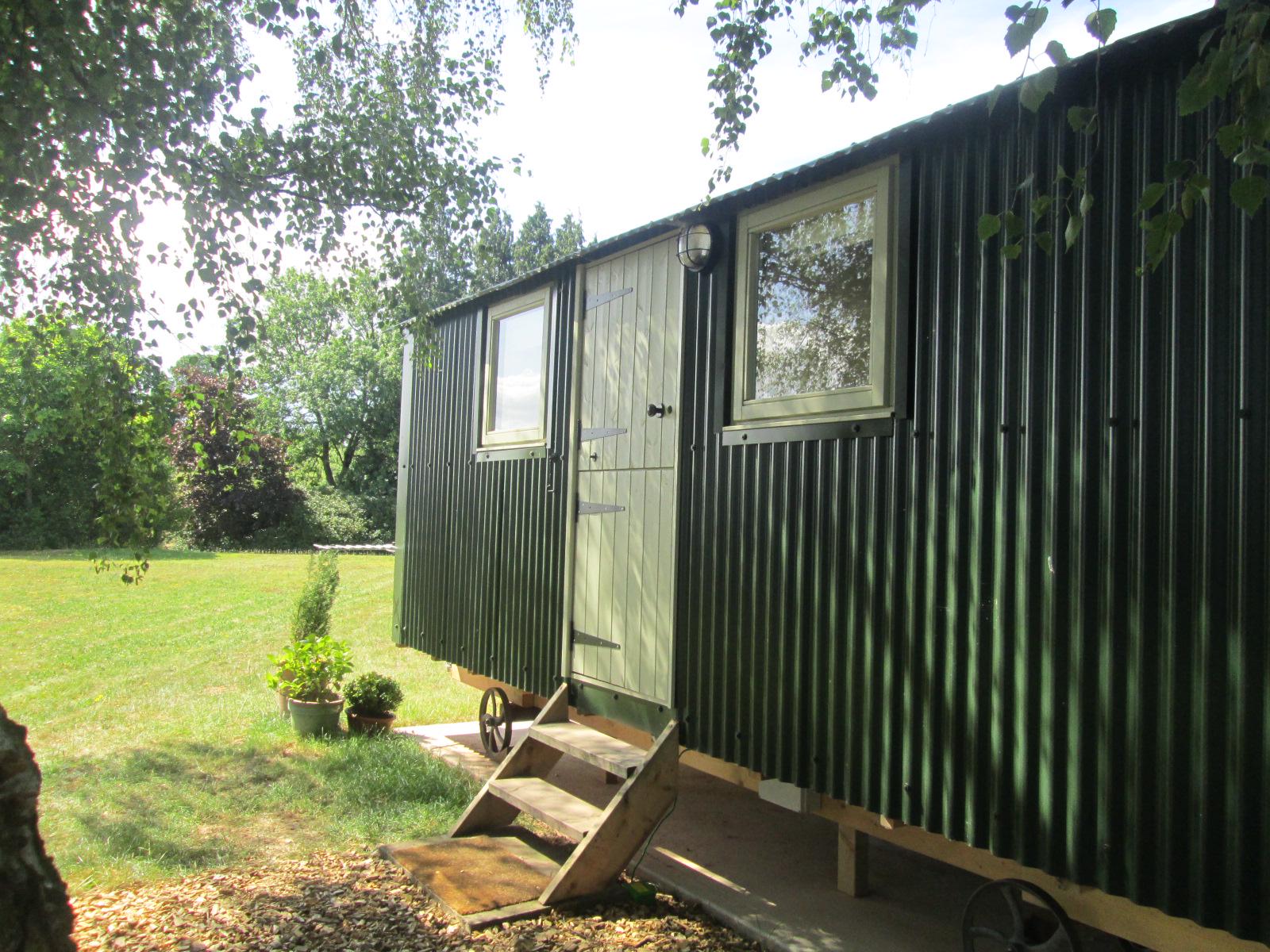
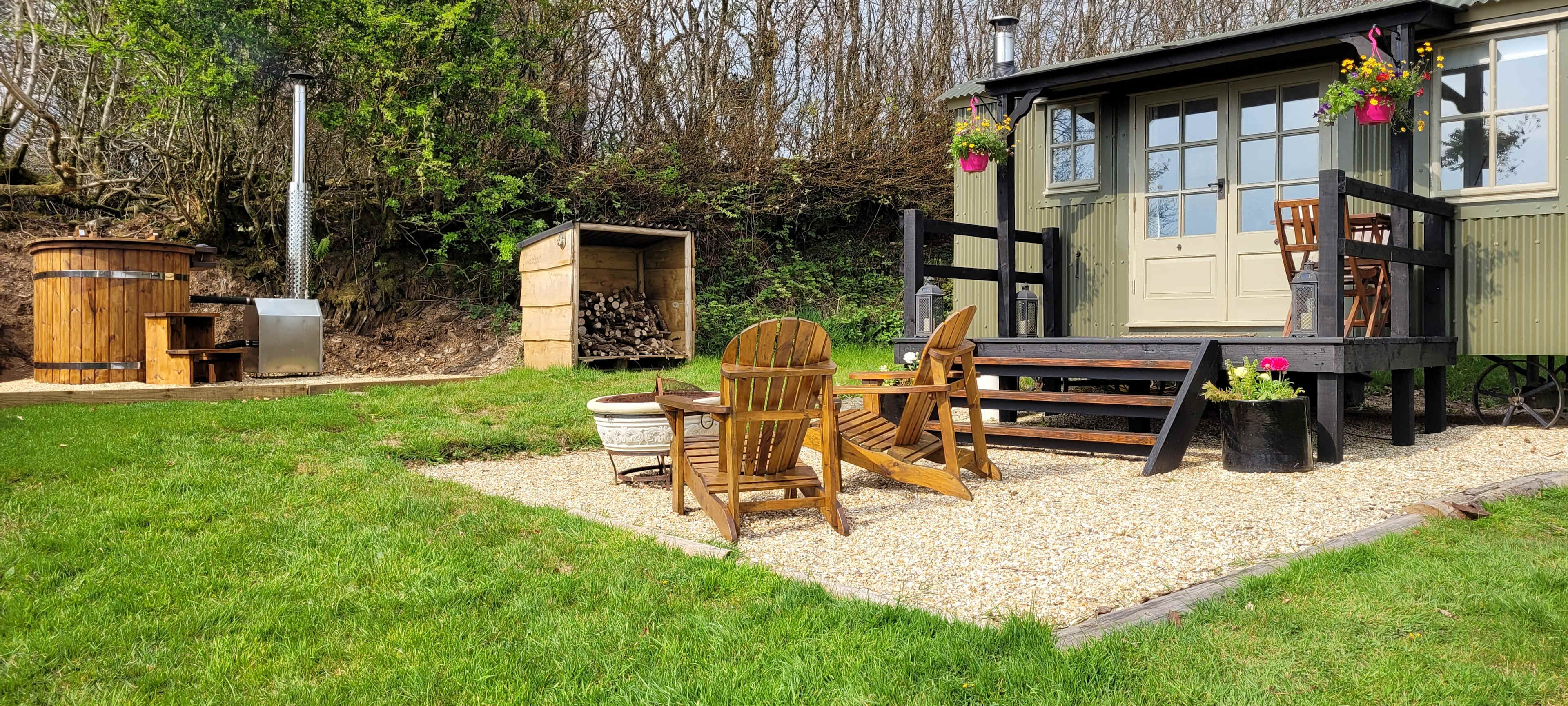
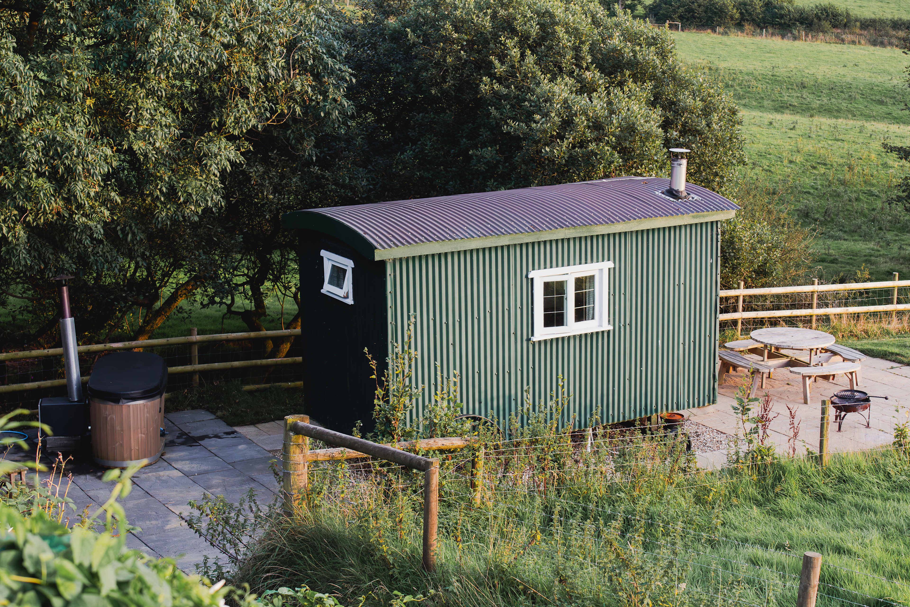
5. The Three Spaniels' Shepherd Hut
6. Naturesbase
7. Oakhill Ponds
8. Abbey Home Farm

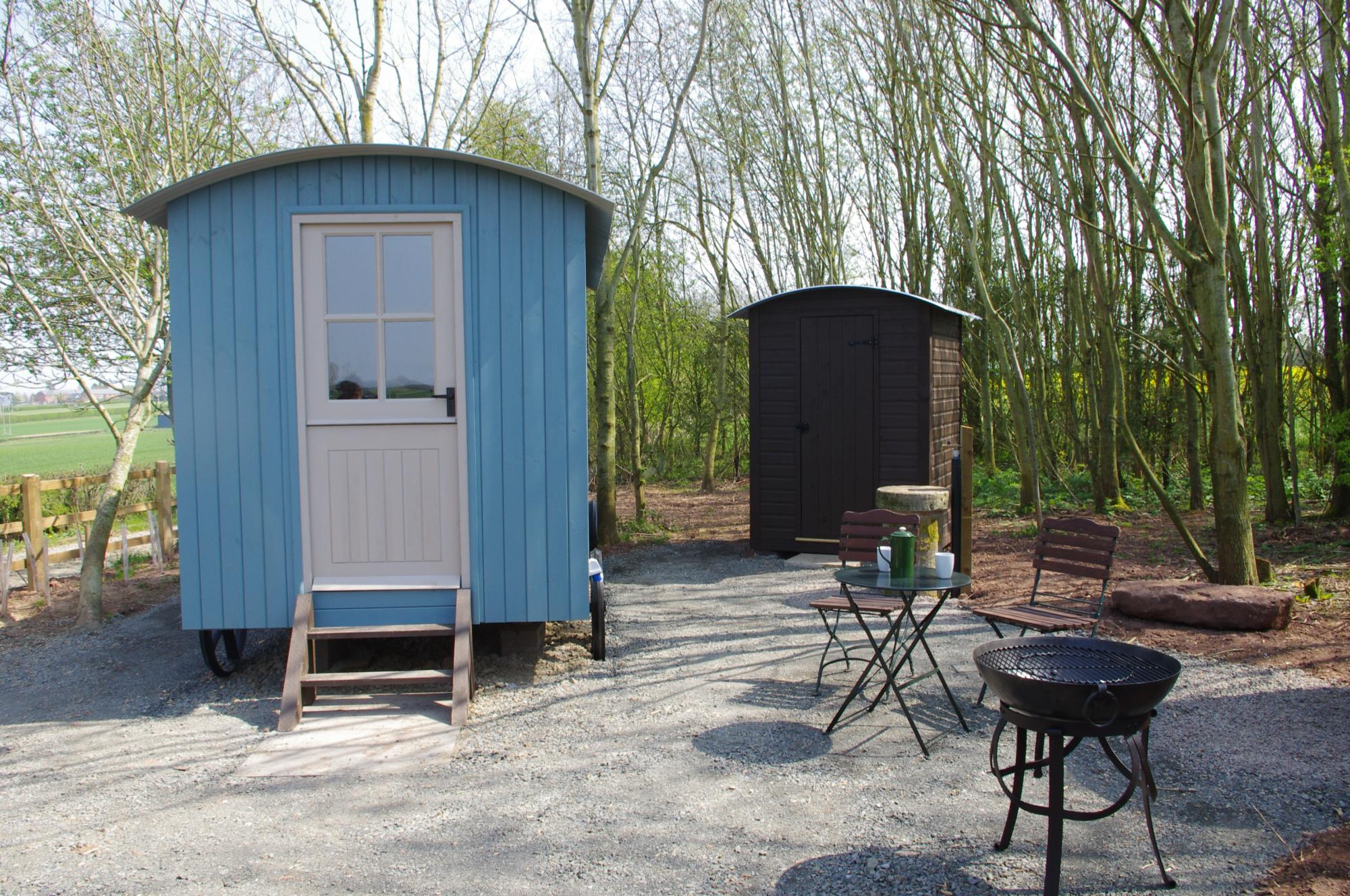
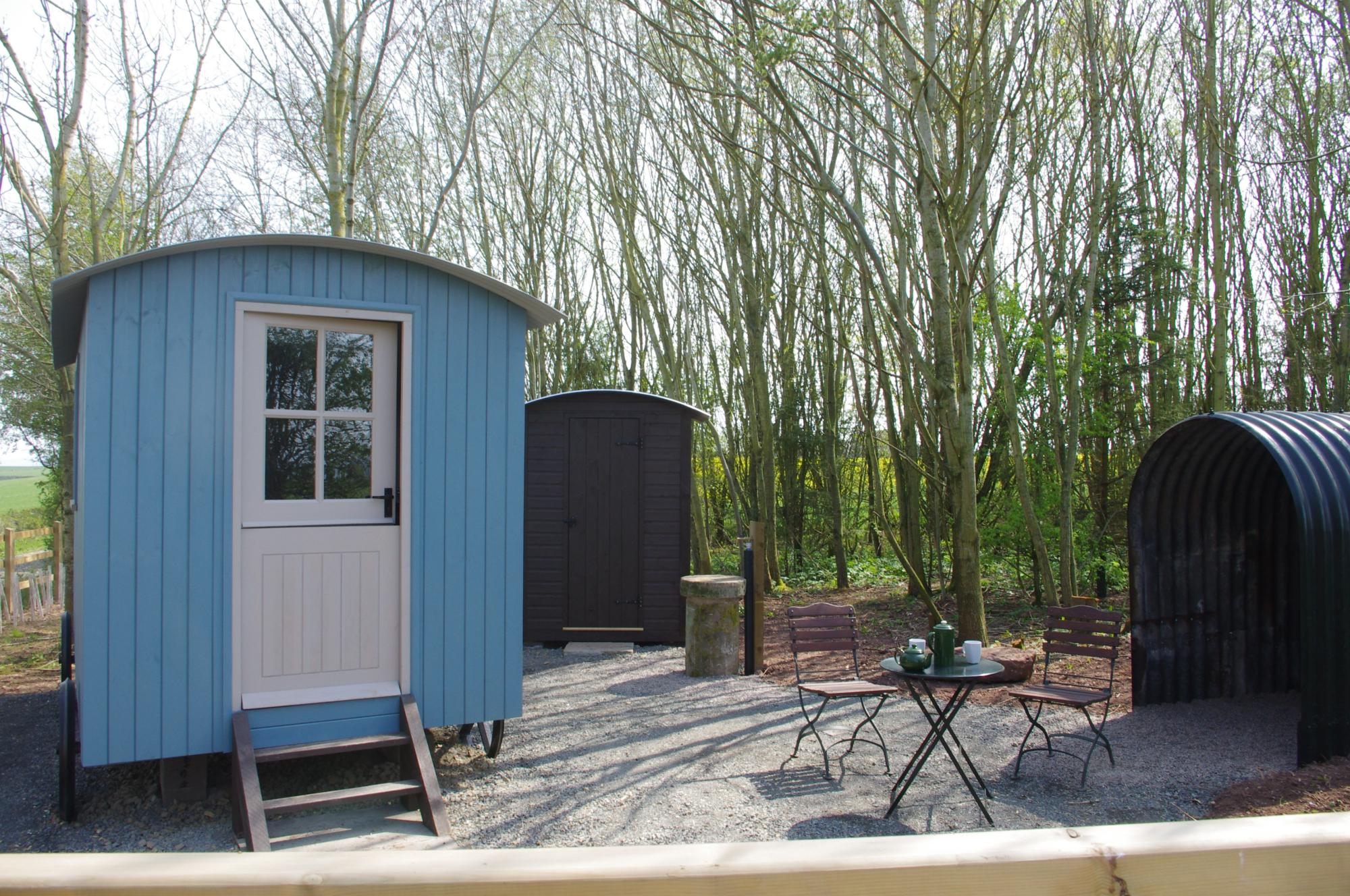
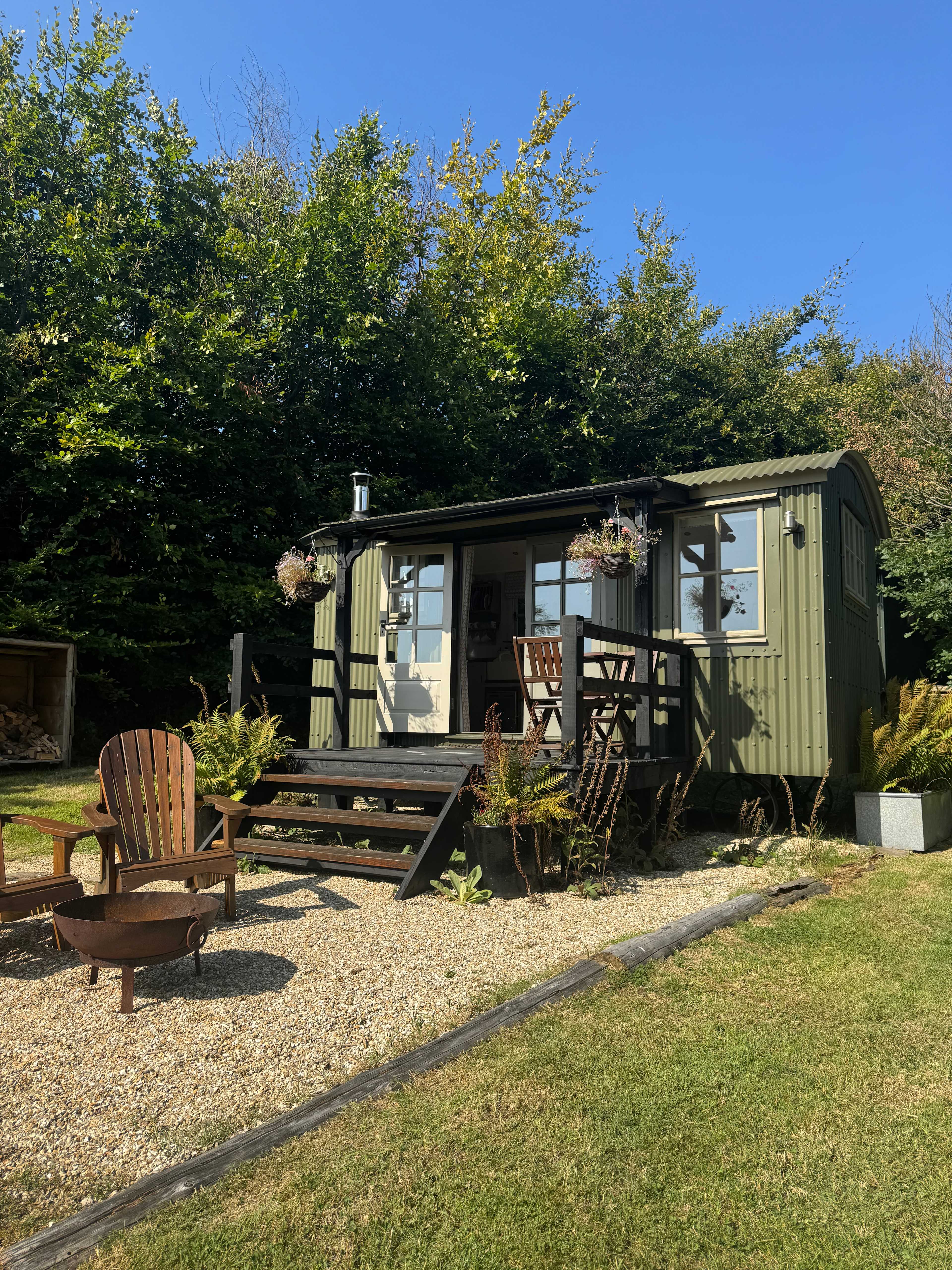
9. Abberton Shepherds Hut


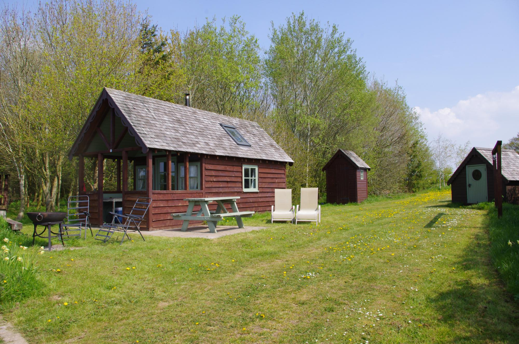
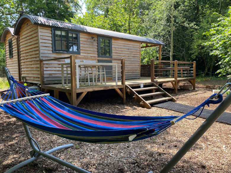
10. The Exmoor Woodland Escape
11. Romantic Country Glamping
12. Ffosygrafel Isaf Camping
13. Wild Meadow Camping
14. Hay & Hedgerow Glamping
15. Glamping West Midlands

16. Westland Farm
17. Under the Milky Way
18. Strawfields Cabins and Camping


19. Jordans Estate Glamping
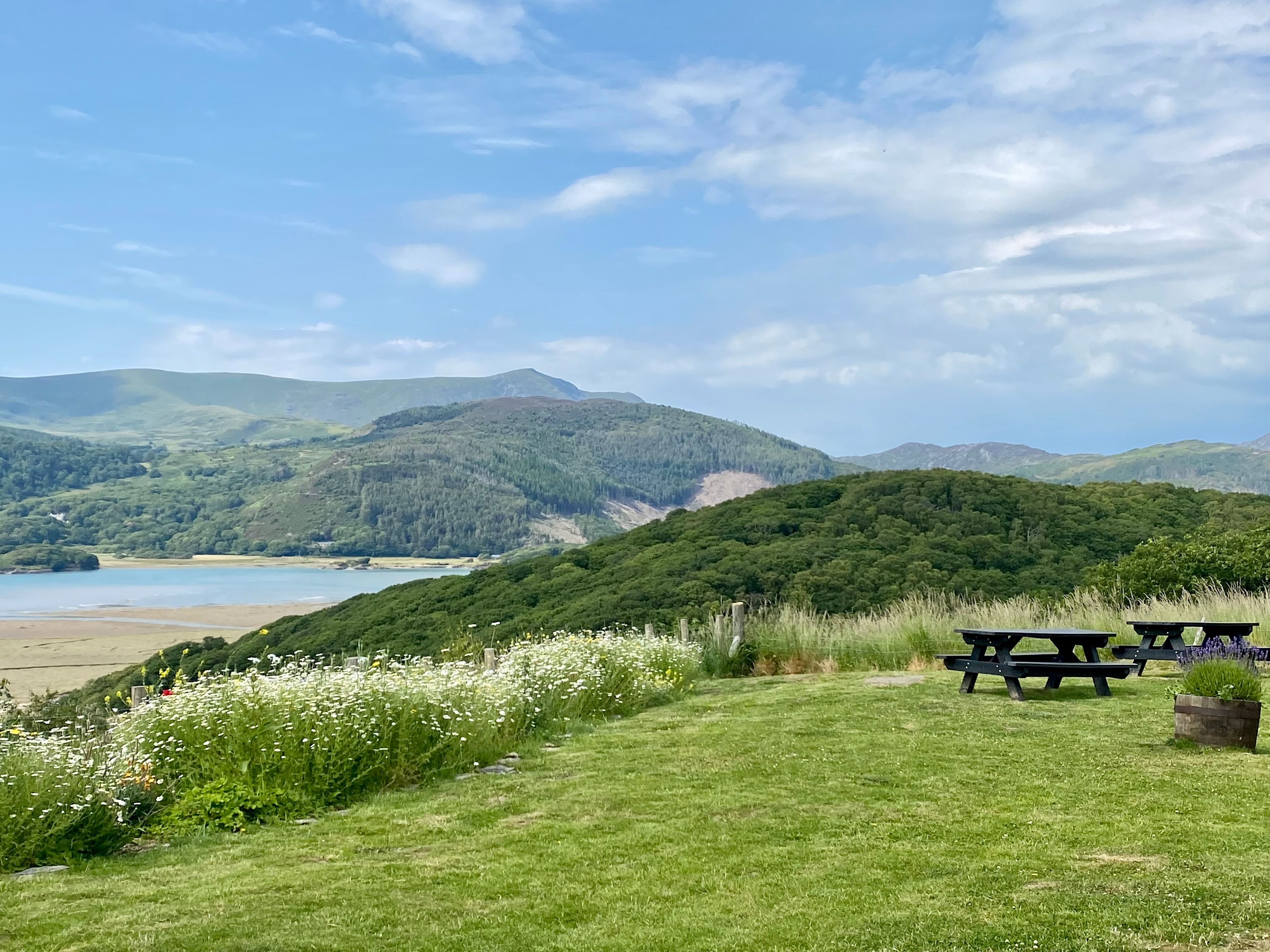
20. Graig Wen - Wild Snowdonia Escapes
Top-rated campgrounds near Crickhowell
1. Upper House Farm Glamping
2. Digeddi Wildlife Camping
3. Broadmeadow Glamping
4. By The Red Phone Box Glamping & Camping
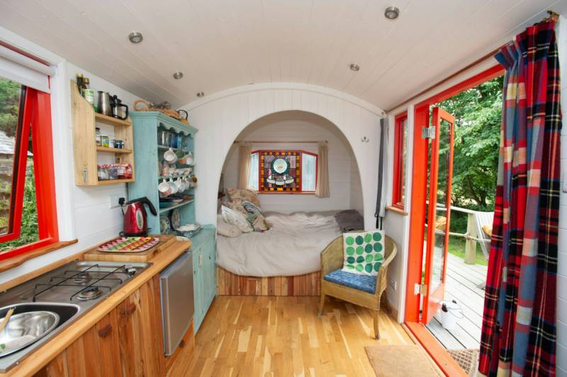
5. The Three Spaniels' Shepherd Hut
6. Naturesbase
7. Oakhill Ponds
8. Abbey Home Farm
9. Abberton Shepherds Hut
10. The Exmoor Woodland Escape
11. Romantic Country Glamping
12. Ffosygrafel Isaf Camping
13. Wild Meadow Camping
14. Hay & Hedgerow Glamping
15. Glamping West Midlands
16. Westland Farm
17. Under the Milky Way
18. Strawfields Cabins and Camping
19. Jordans Estate Glamping
20. Graig Wen - Wild Snowdonia Escapes
Recent reviews from the Hipcamp community


Shepherd's huts near Crickhowell guide
Where to go
Black Mountains
The Black Mountains flank the eastern end of Brecon Beacons National Park, a dark, brooding wedge of hills running from Abergavenny to Hay-on-Wye, above to Crickhowell’s east. Campers can cut across the hills from Crickhowell to Stanton to access the road through the heart of the mountains, the Vale of Ewyas, or take an enticing network of hiking trails up to the ridgetop. Campsites hereabouts are simple and small-scale: try tenting up at Llanthony, with its majestic 12th-century ruined priory.
Eastern Brecon Beacons
The Eastern Brecon Beacons themselves slot into the Brecon Beacons National Park west of the Black Mountains and north of Merthyr Tydfil. It is the park’s most-visited area, with the highest peak (2,907-foot Pen y Fan) and easy access from towns and villages popular with visitors, like Crickhowell, on the eastern edge. Camping in this wild expanse generally means pitching in the verdant valleys around the edge.
Monmouthshire and Brecon Canal
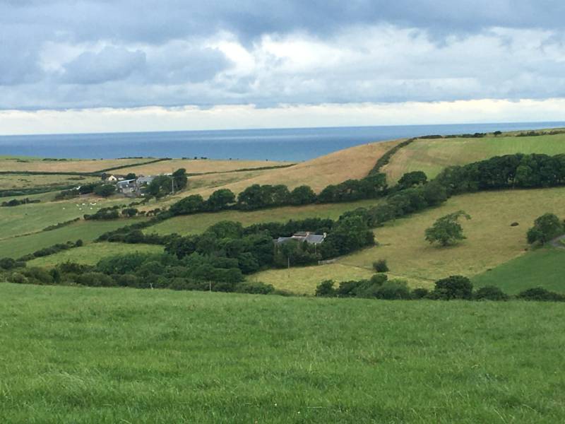
This 36-mile winsome waterway traces the line of the River Usk between Brecon and Abergavenny, and on to Cwmbran - navigable along its entirety and with a towpath perfect for pedalling along. It passes within 1.5 miles of Crickhowell at Llangattock. It shows a side to the Brecon Beacons National Park you otherwise seldom see: tranquil, tree-fringed water and dreamy time-lost villages. Canal-bound campers can find places to pitch near the canal’s northern end.
When to go
Pick calm weather for forays into the tempestuous Black Mountains and Eastern Brecon Beacons, though weather in the valley around Crickhowell is more calm. March announces the Crickhowell Walking Festival—a great time to explore the local paths free from summer’s crowds. Otherwise, May and September are often the driest months for long-distance hiking.