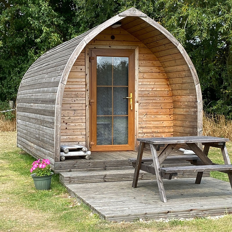
Glamping pods near Middlesbrough
Top-rated campgrounds near Middlesbrough

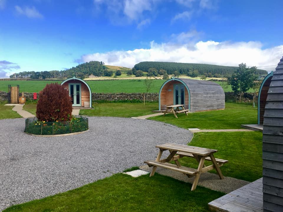

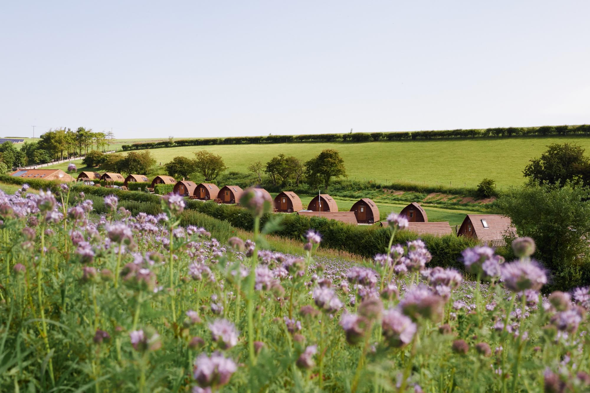
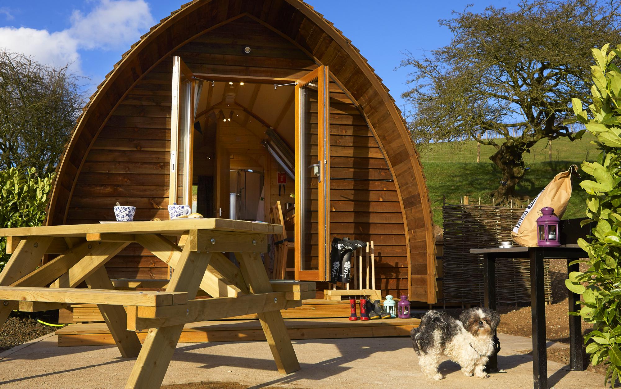
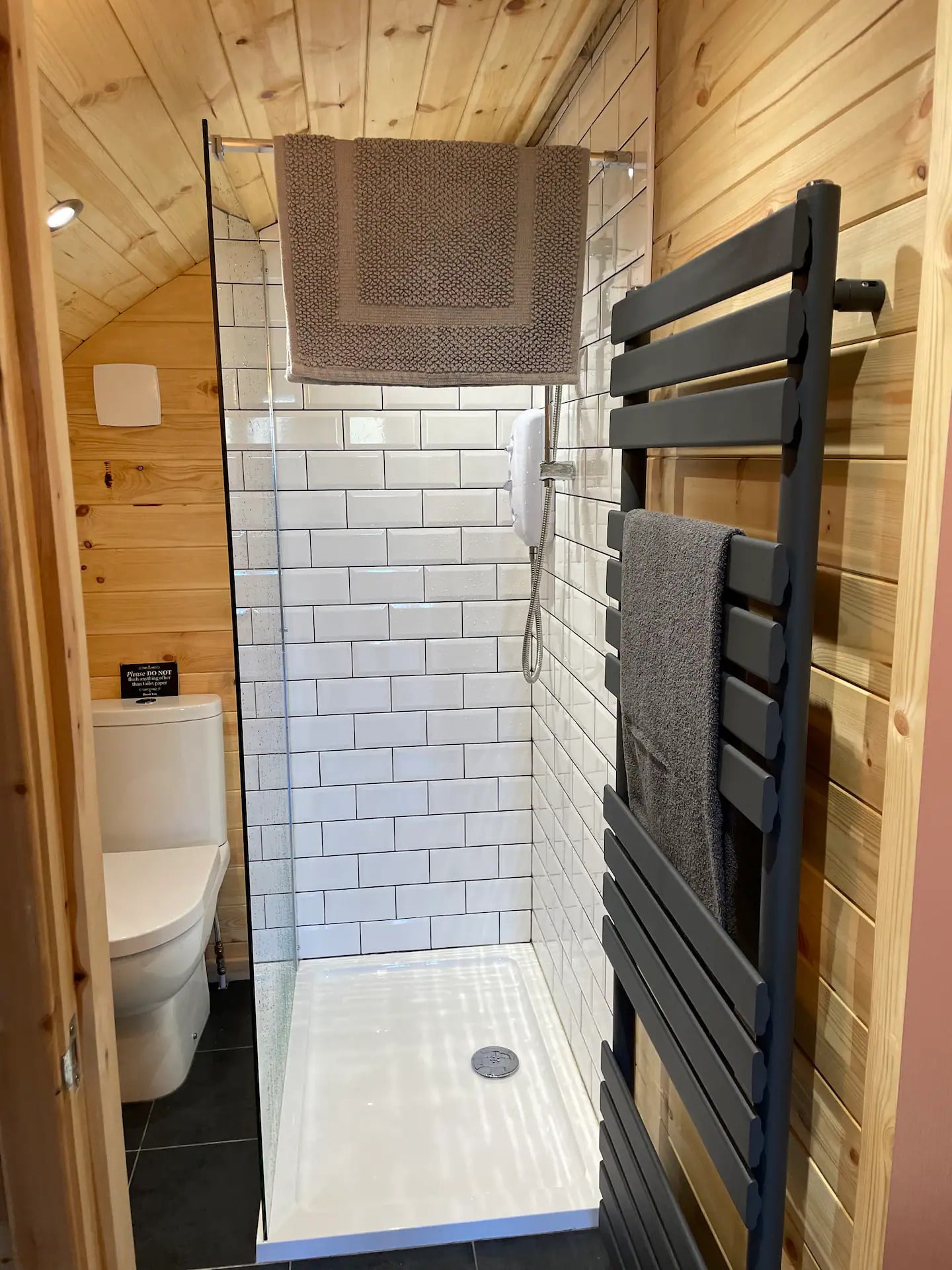
1. Hill Top Huts

2. Humble Bee Farm
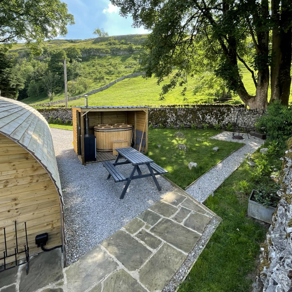

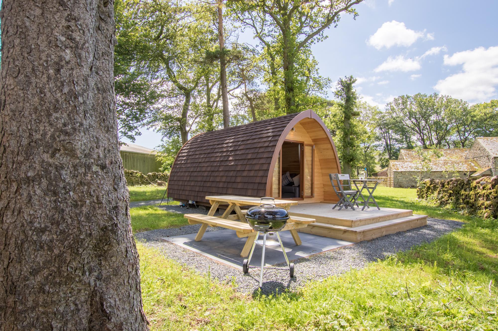
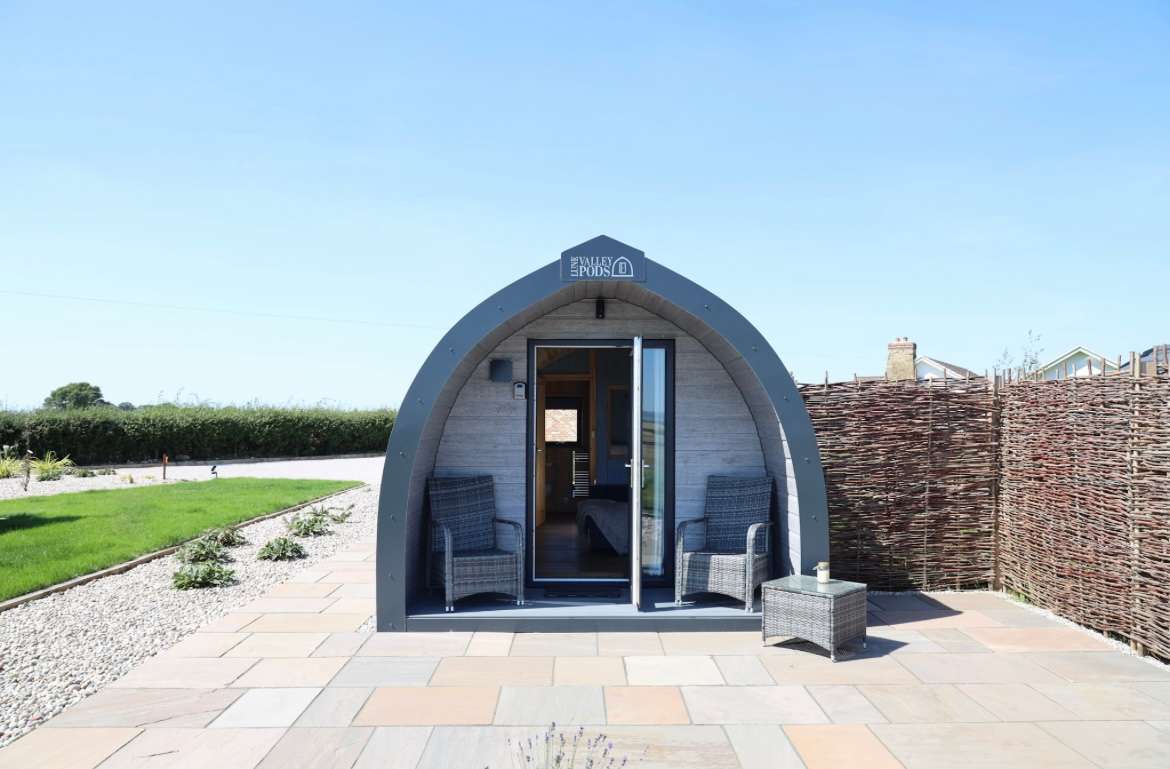
3. Northcote Pods - Yorkshire Dales
4. Trawden Forest Glamping
5. Otter Moss Accommodation

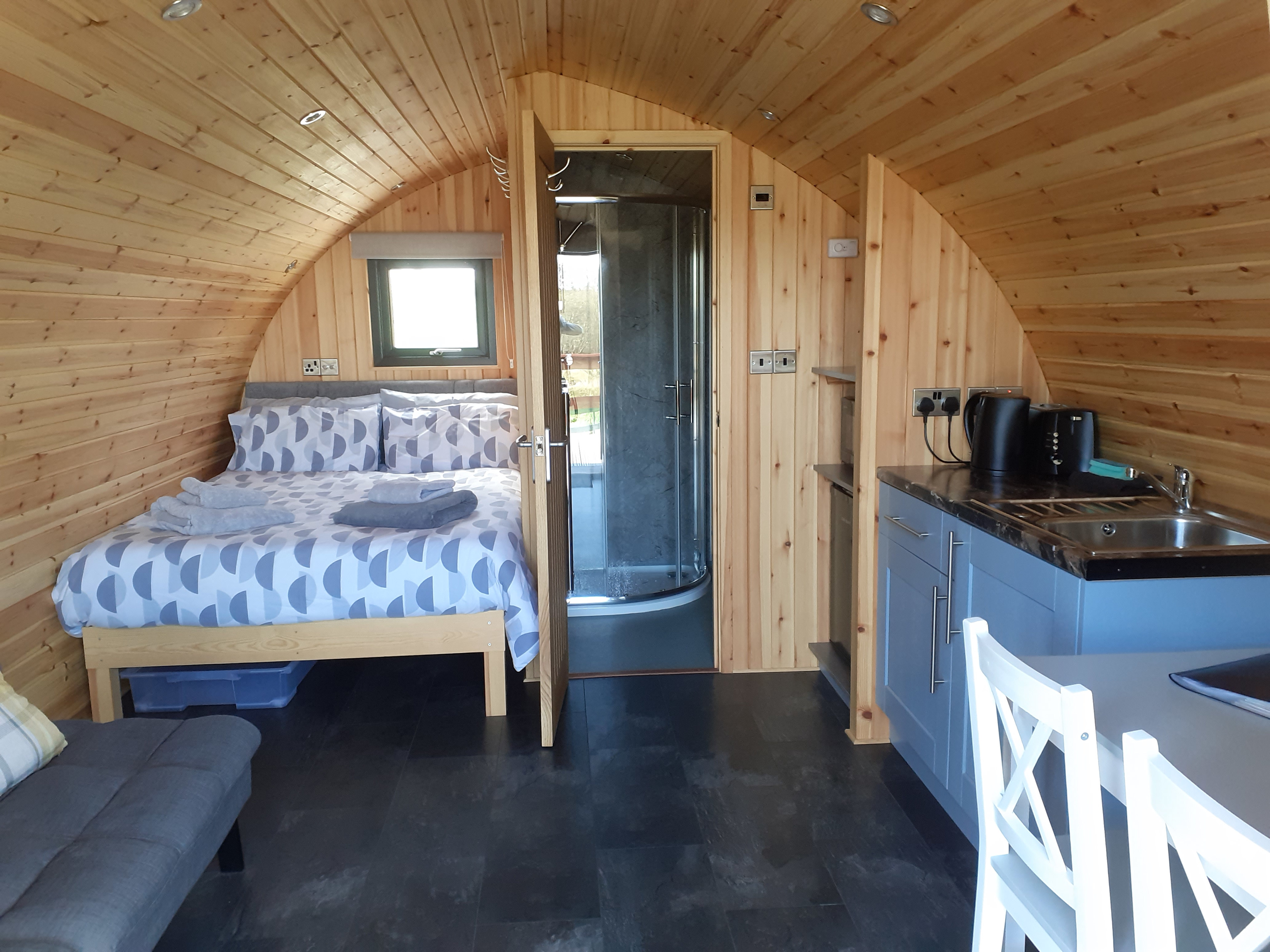
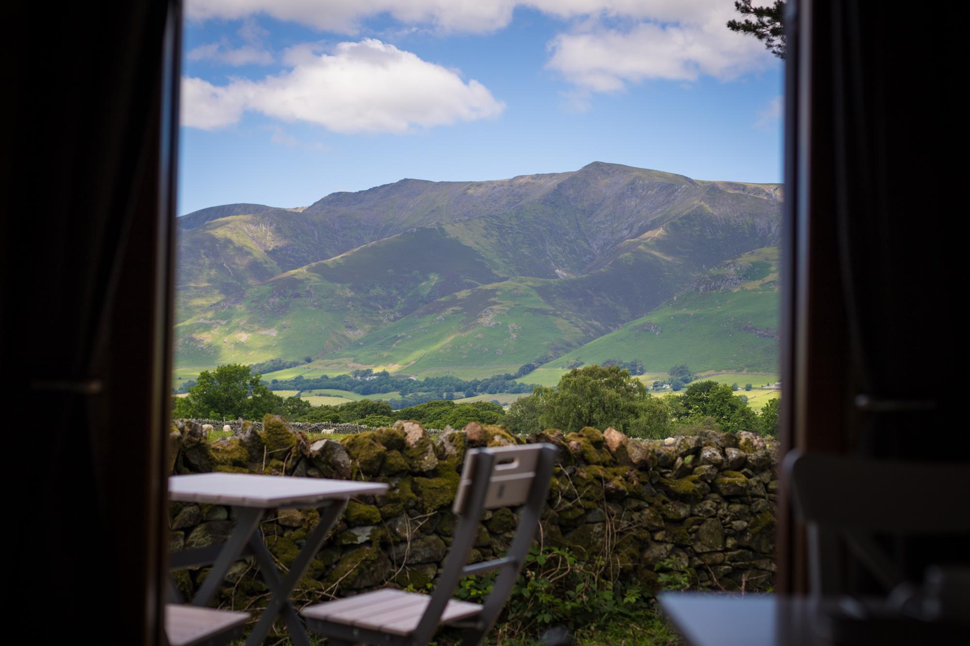
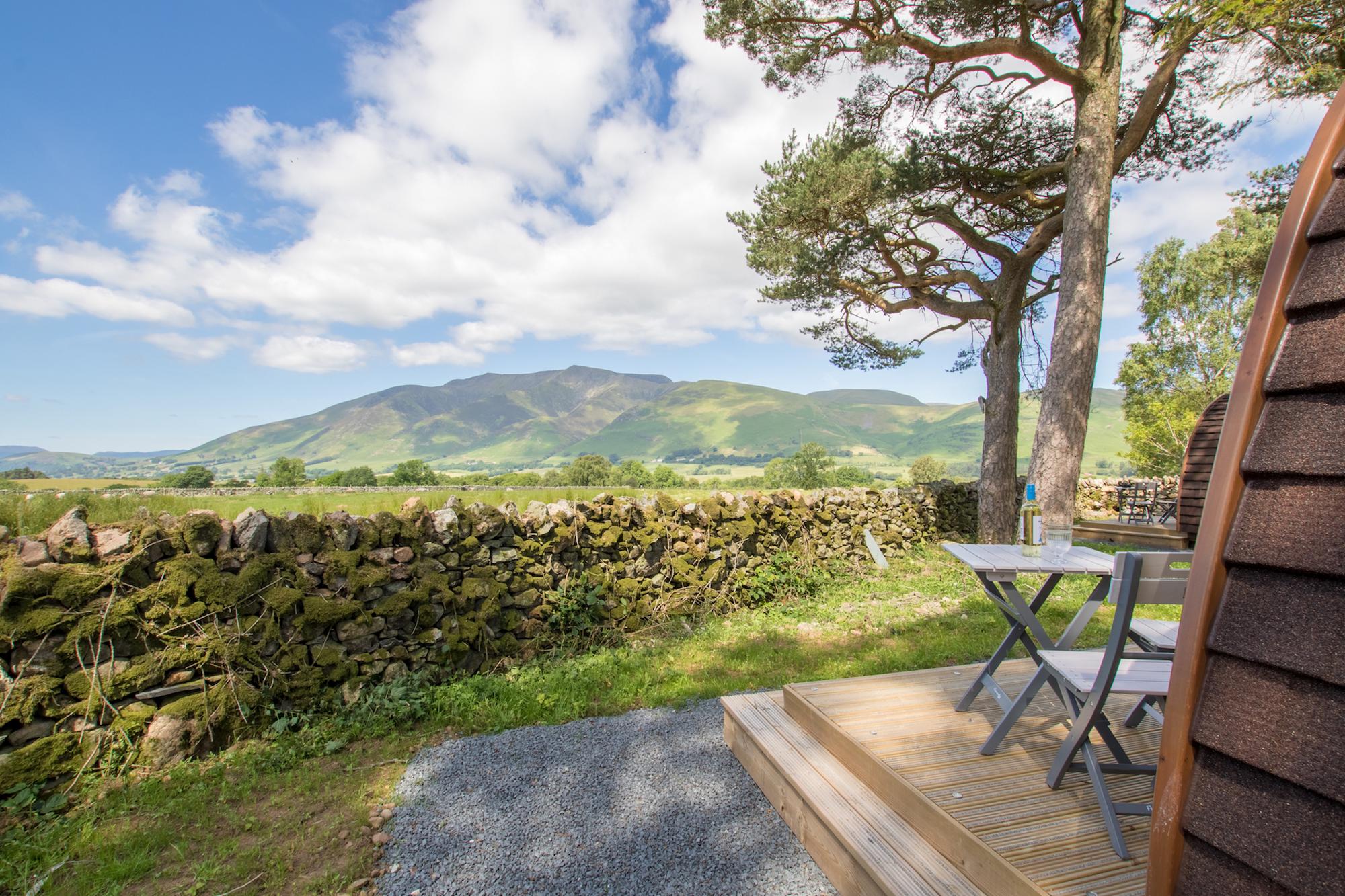
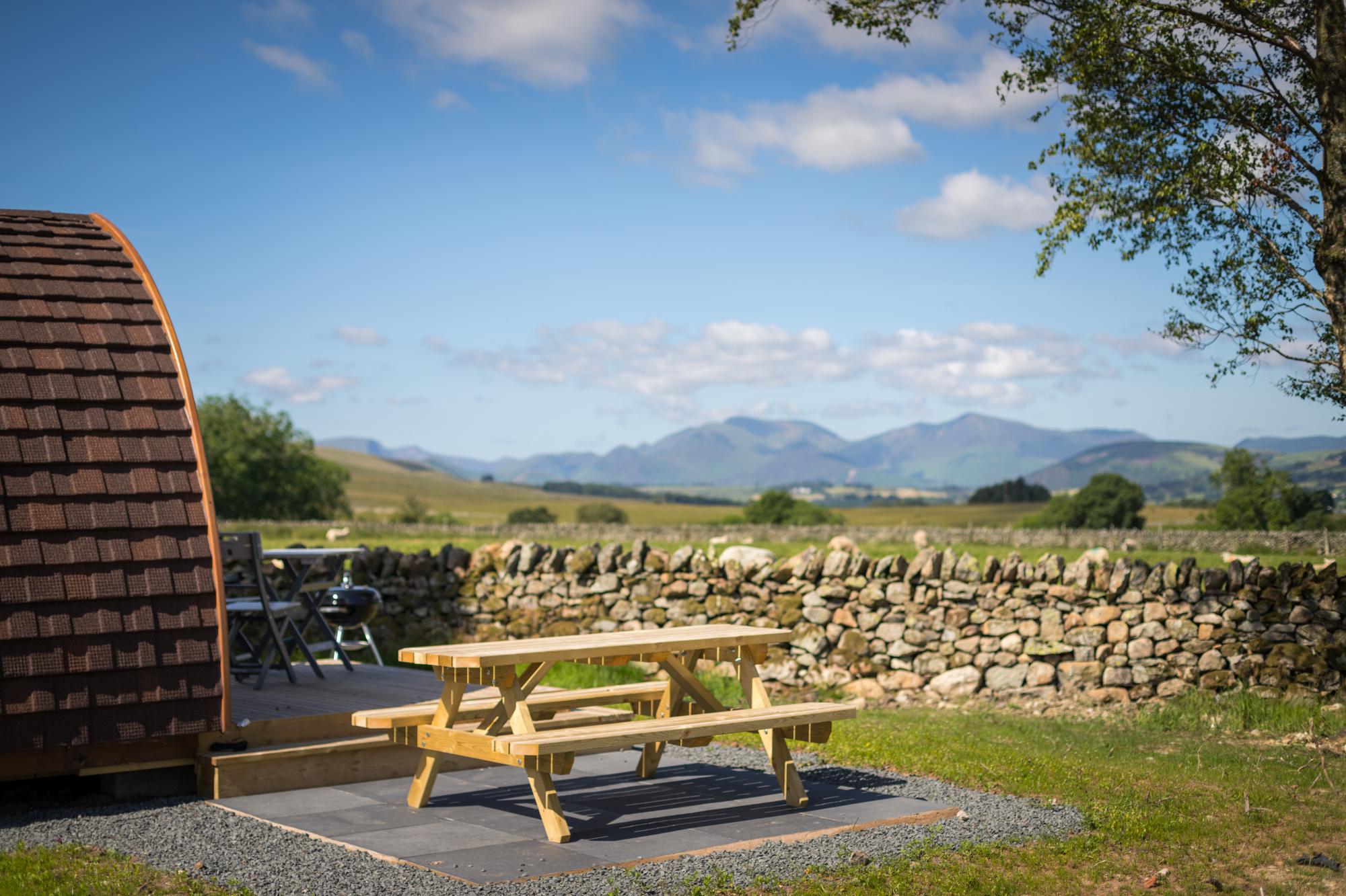
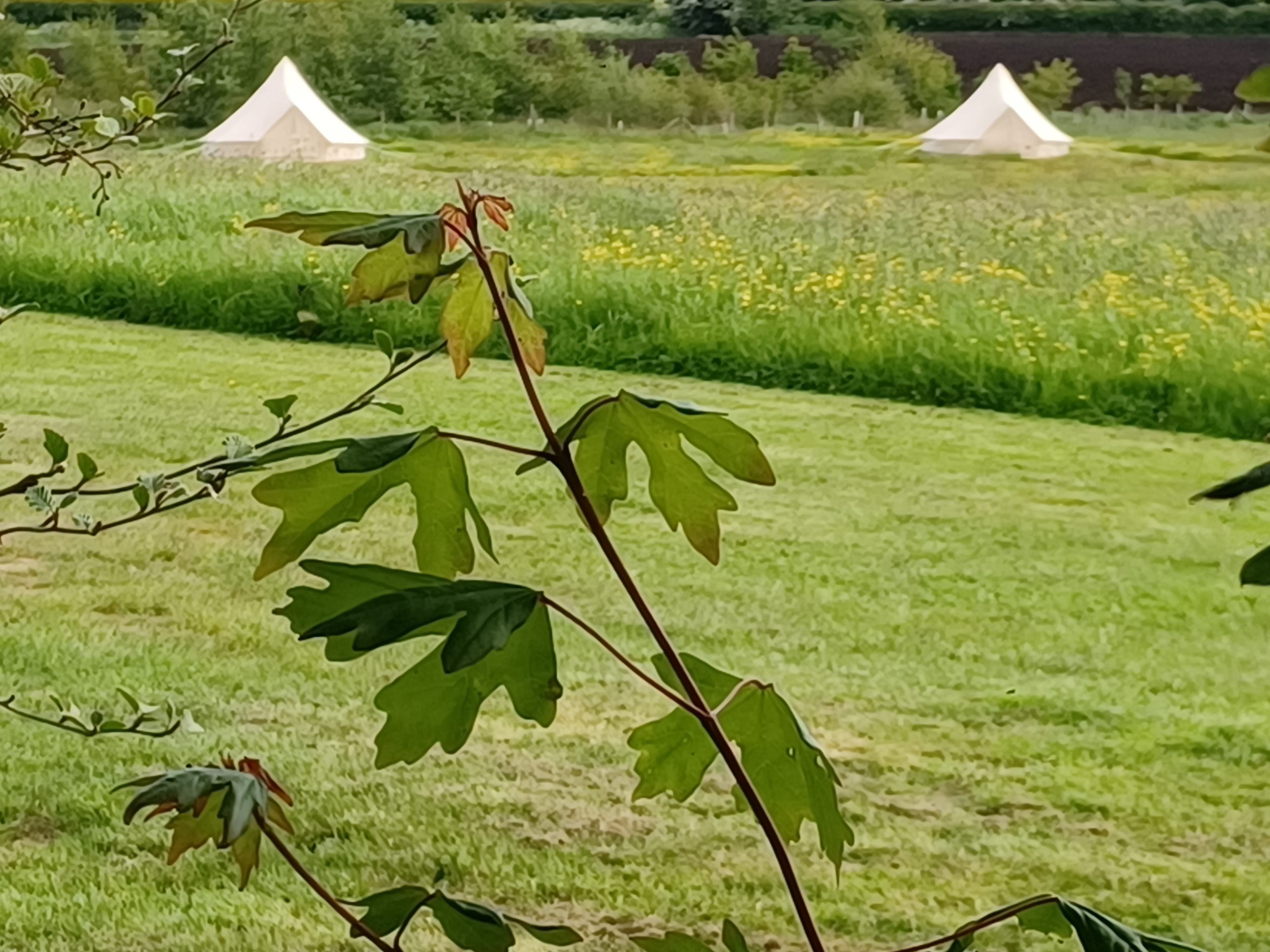
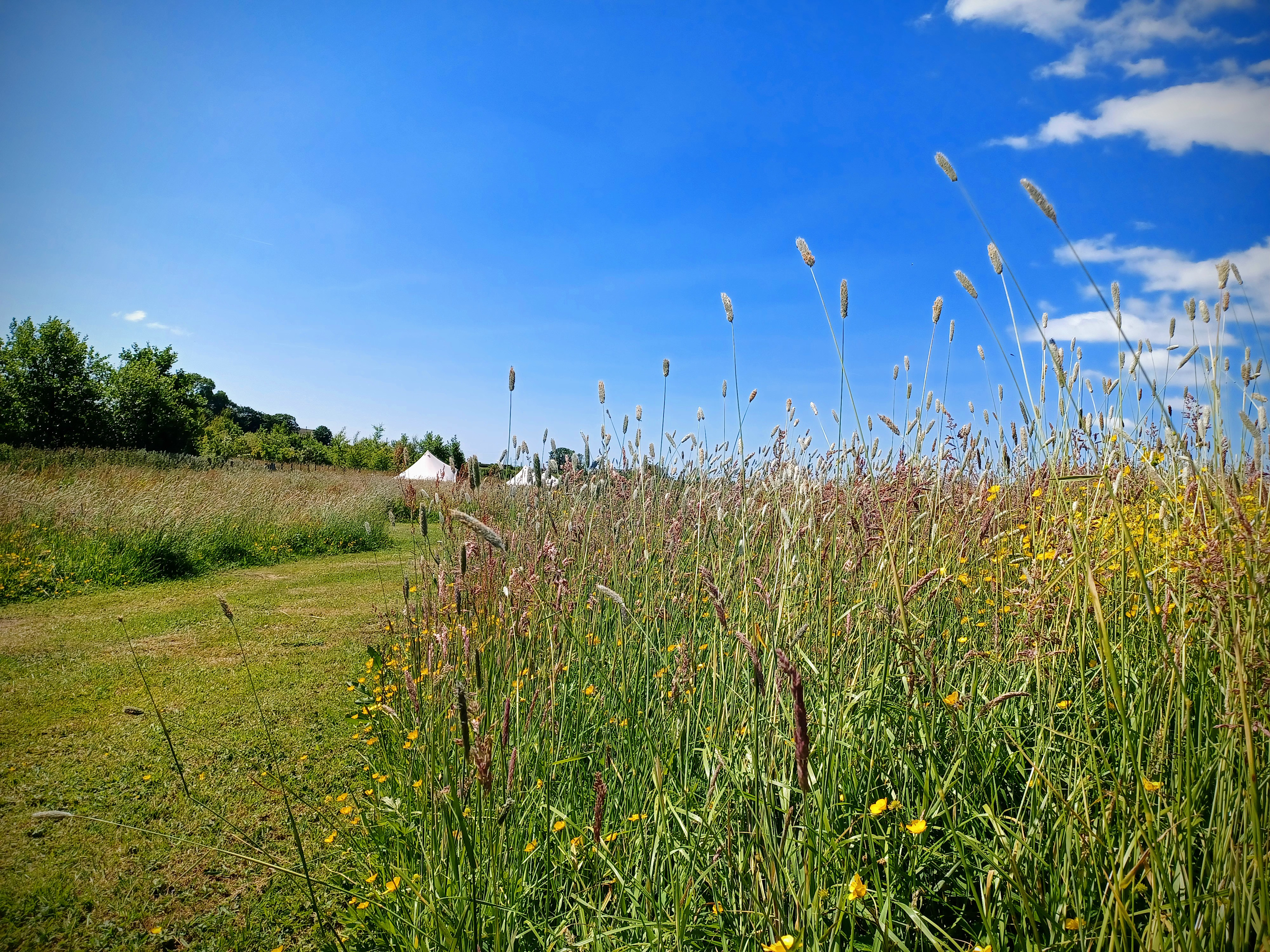
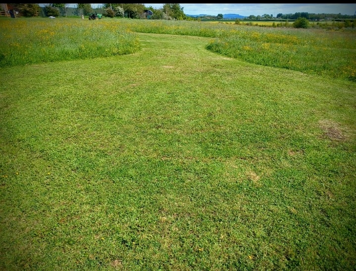
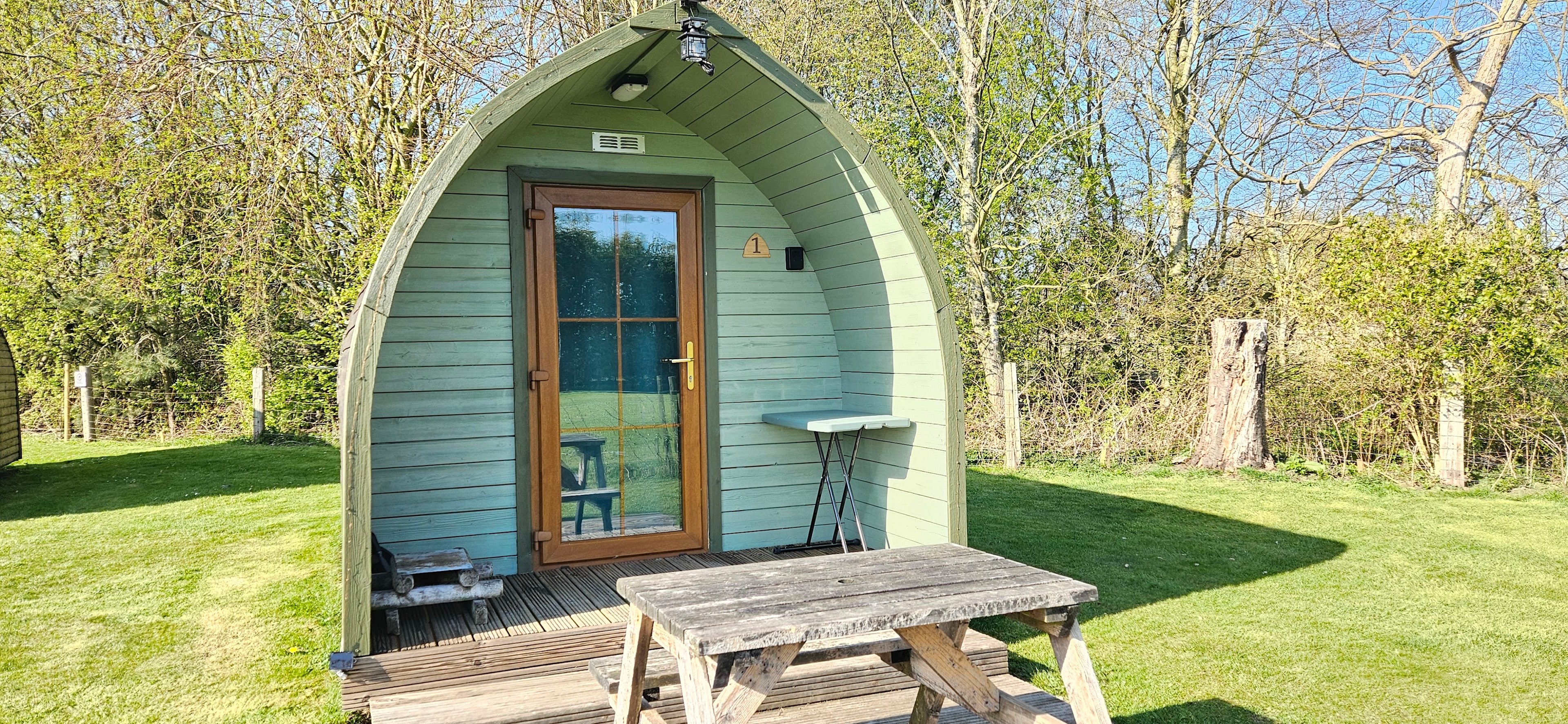
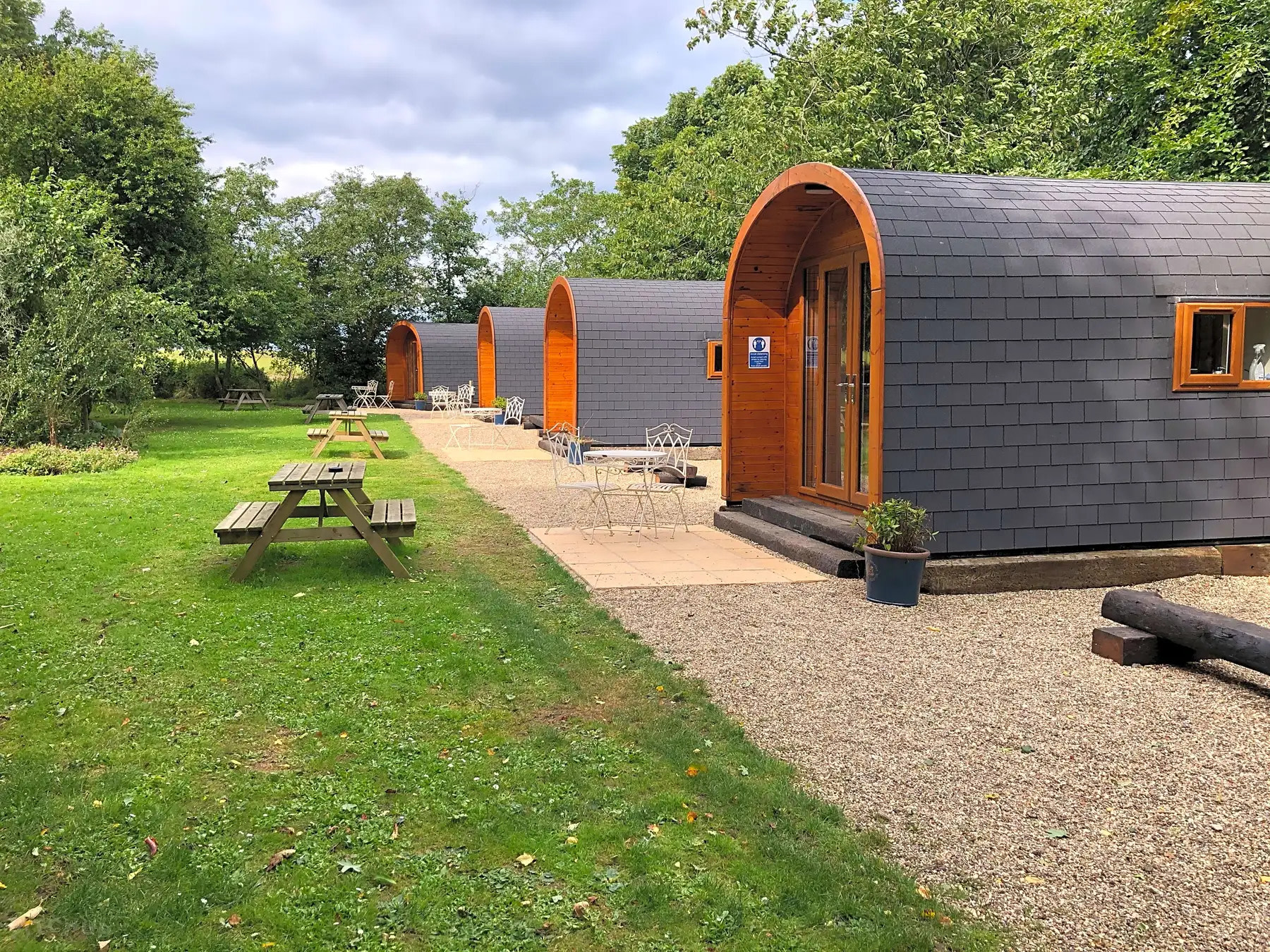
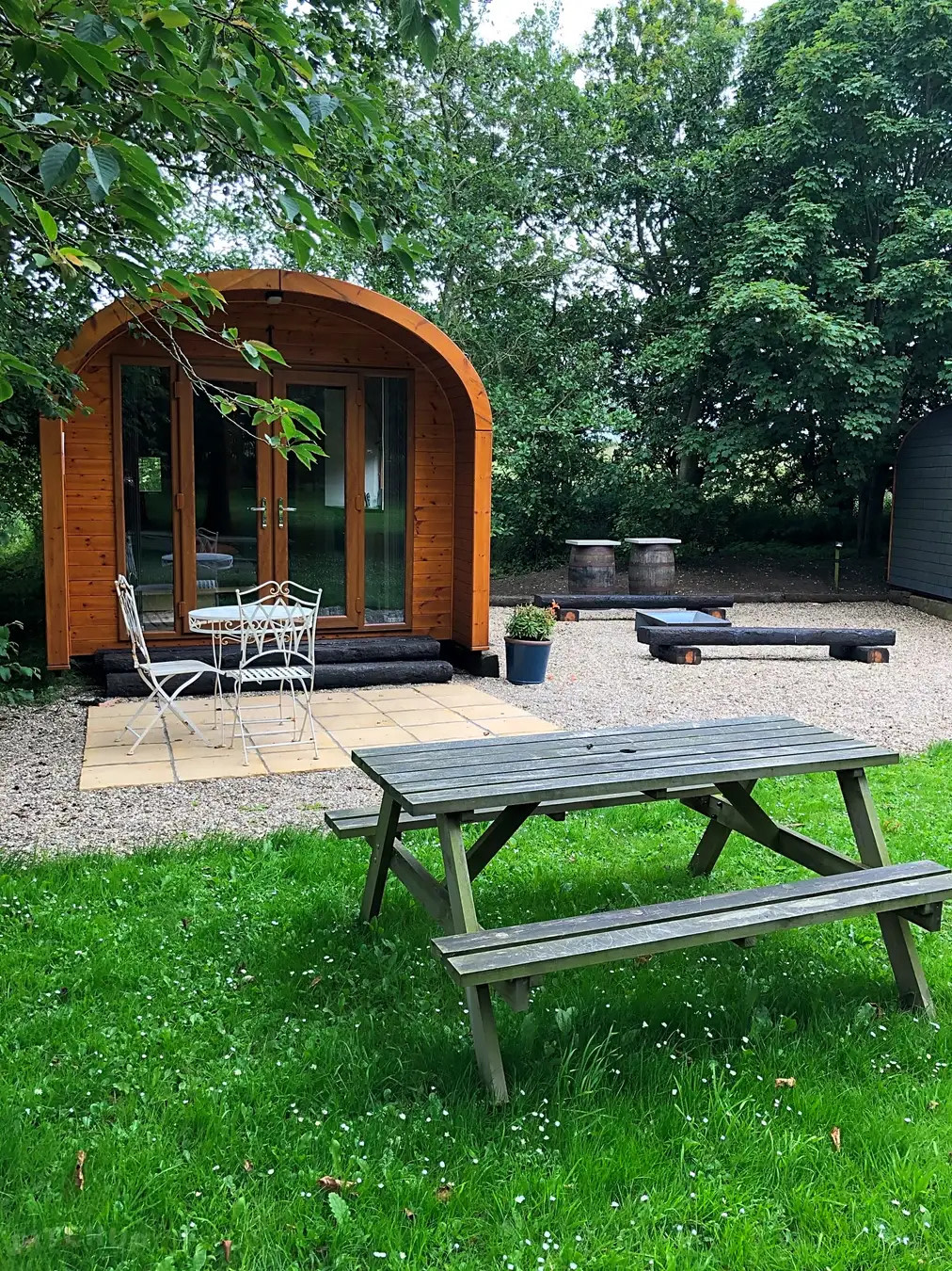
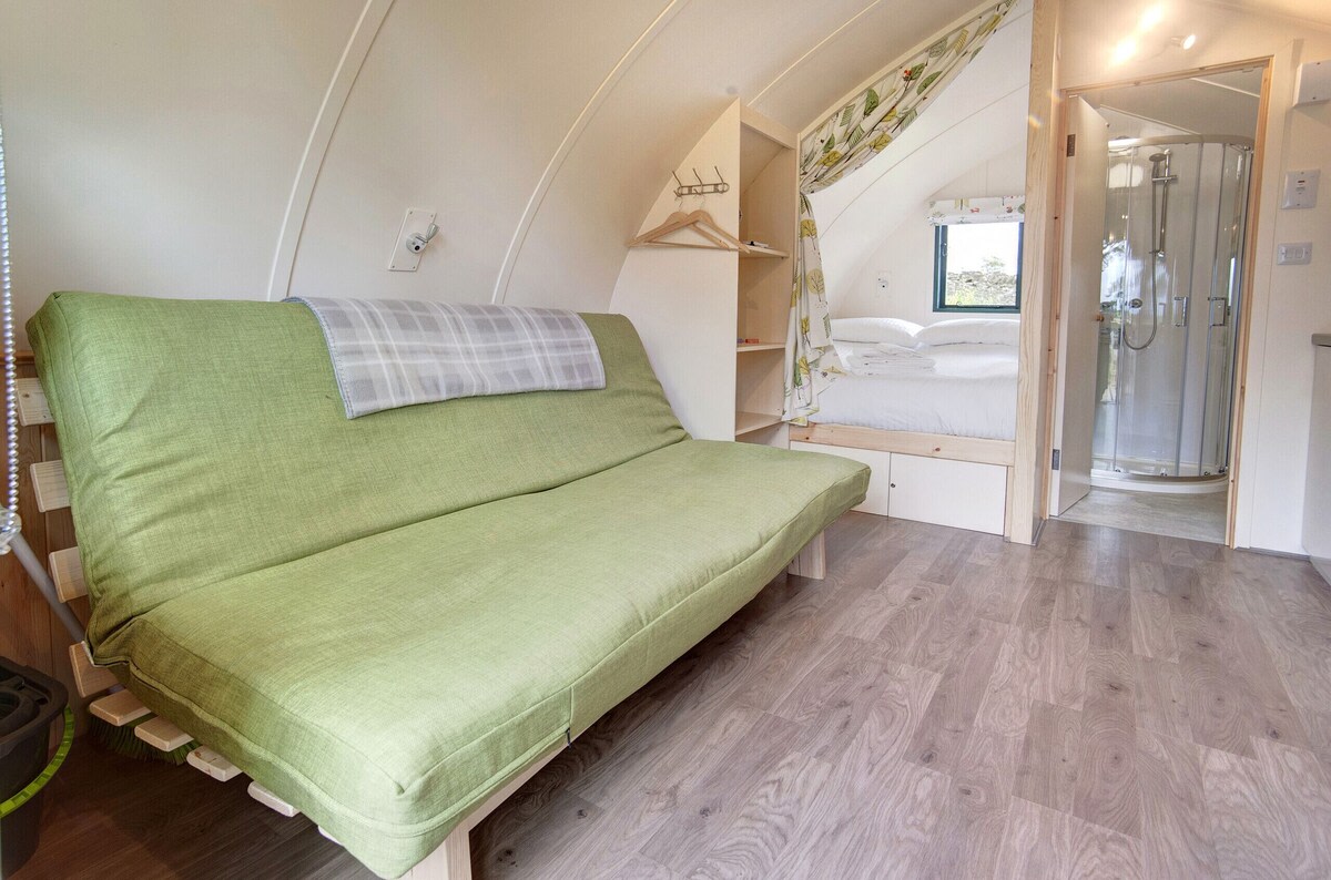
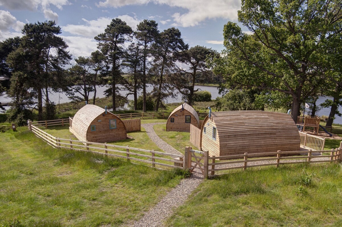
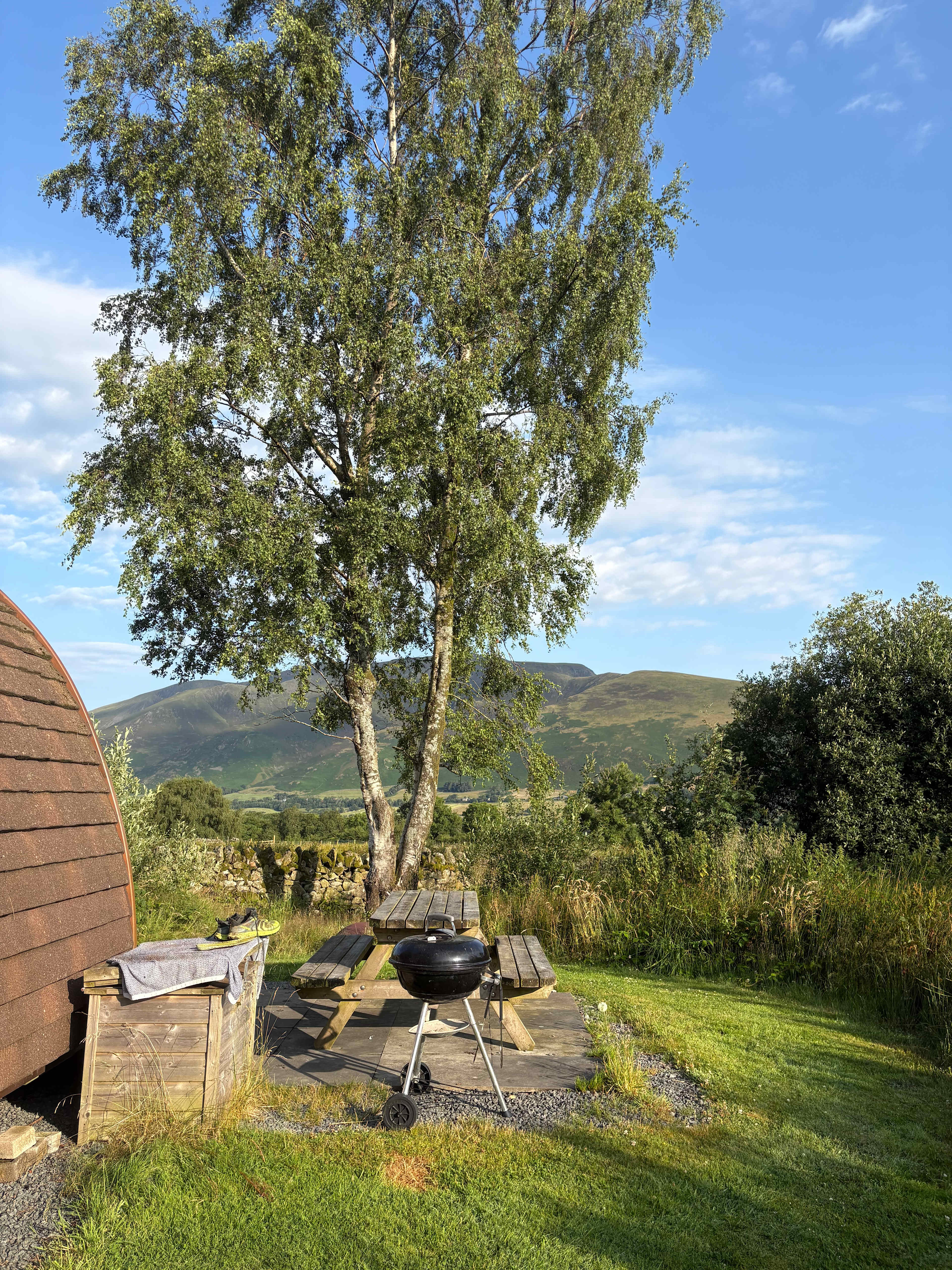
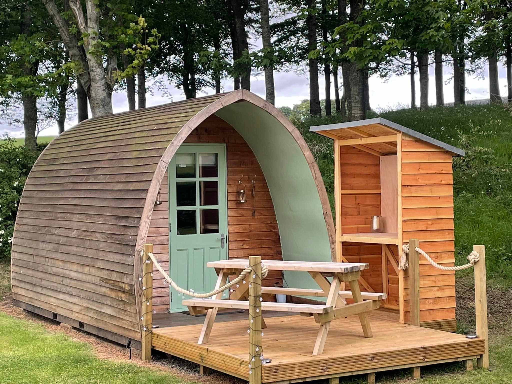
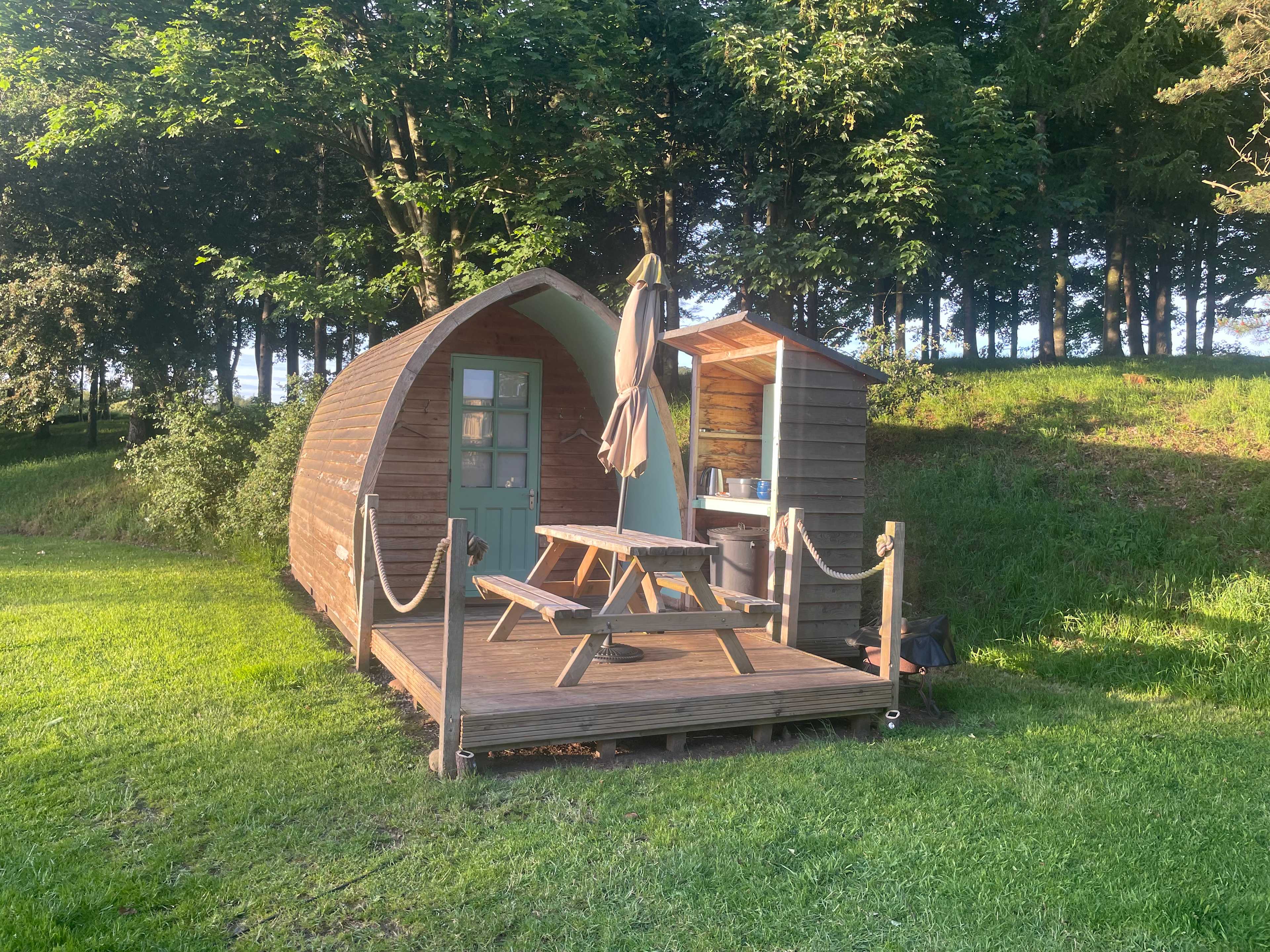
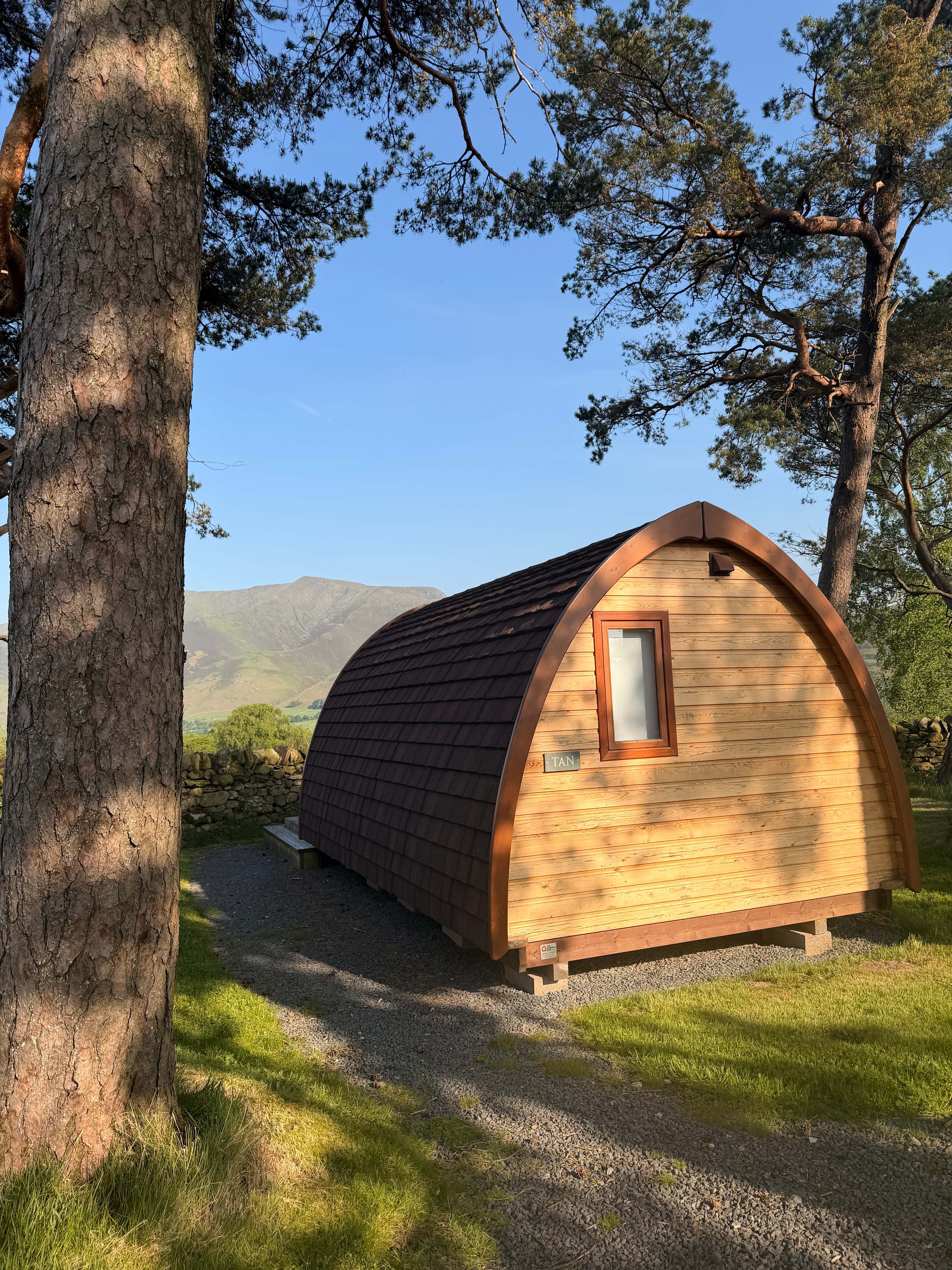
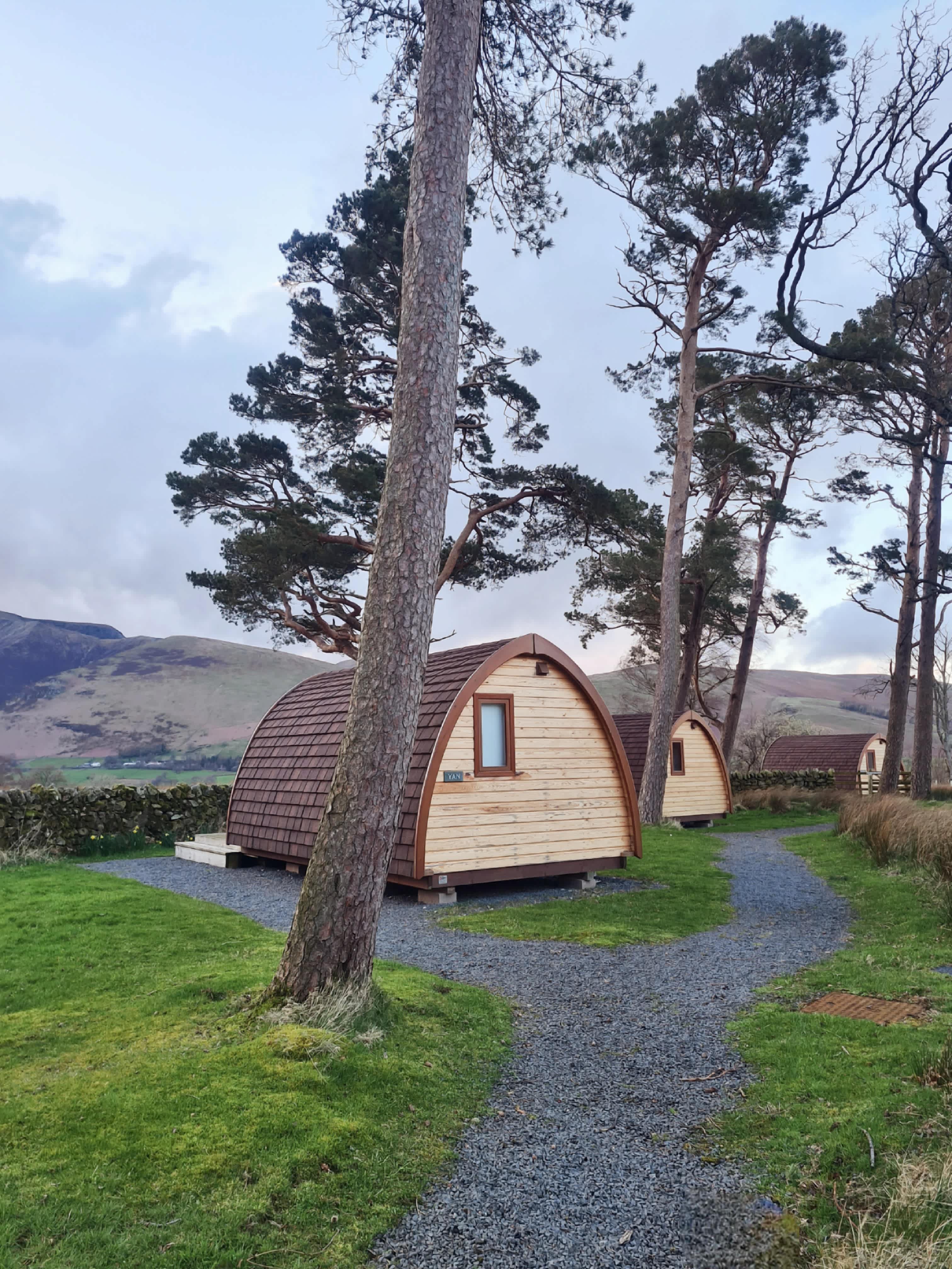
6. Cairn Meadow Pods
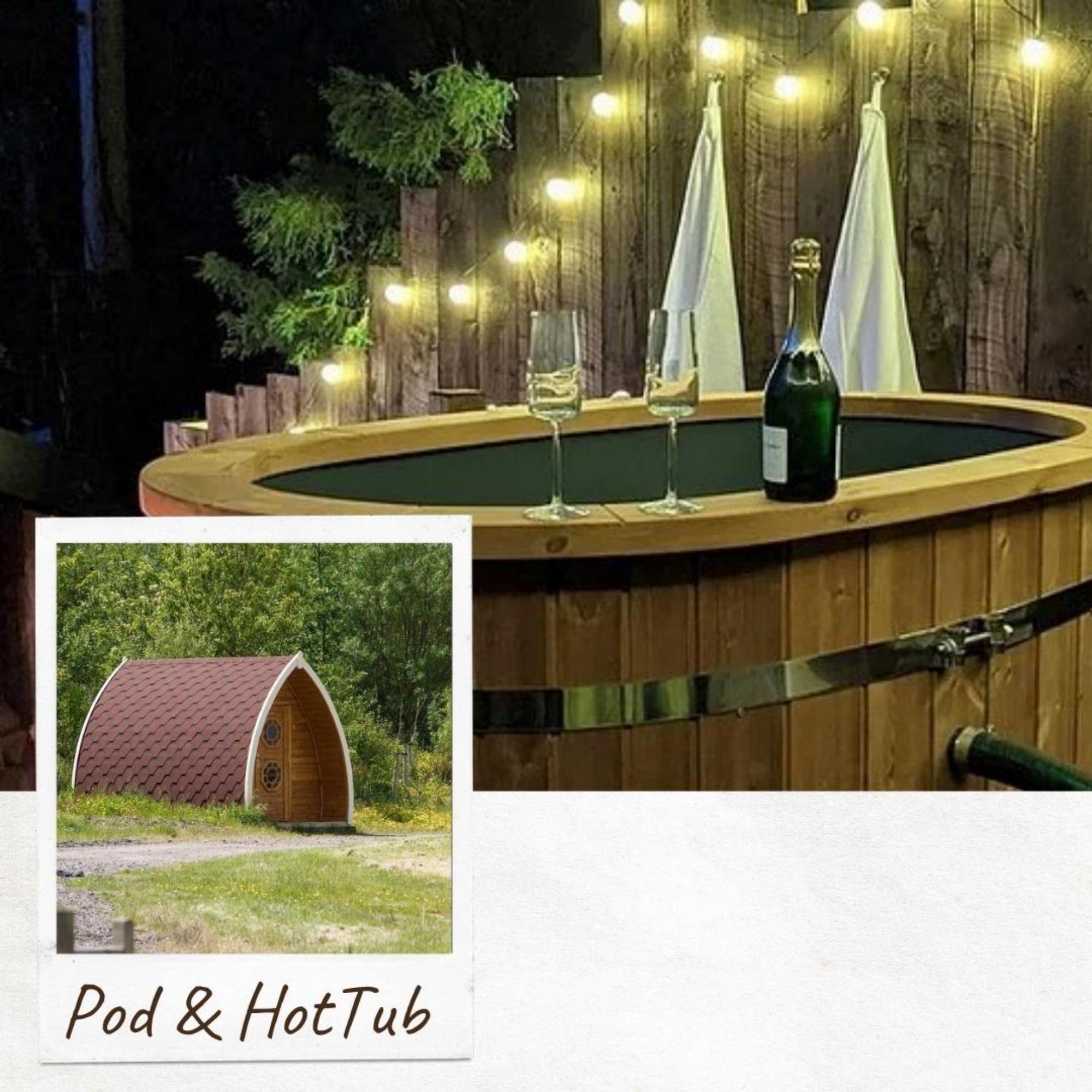
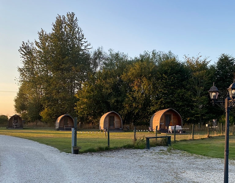
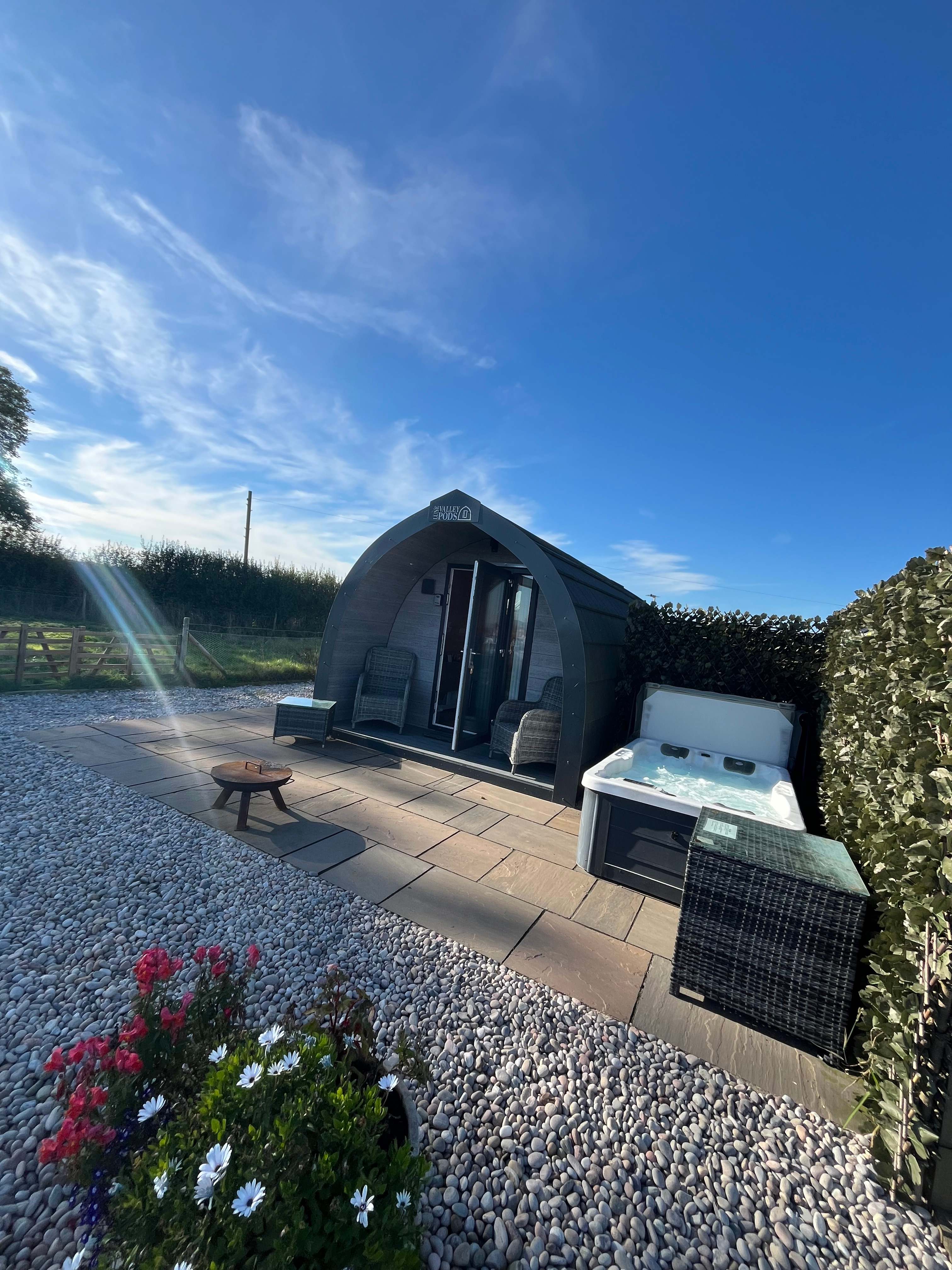
7. Ewe Love Camping Pods
8. Moss Rose Campsite
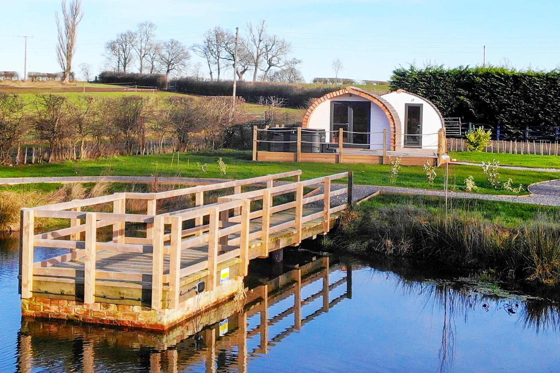
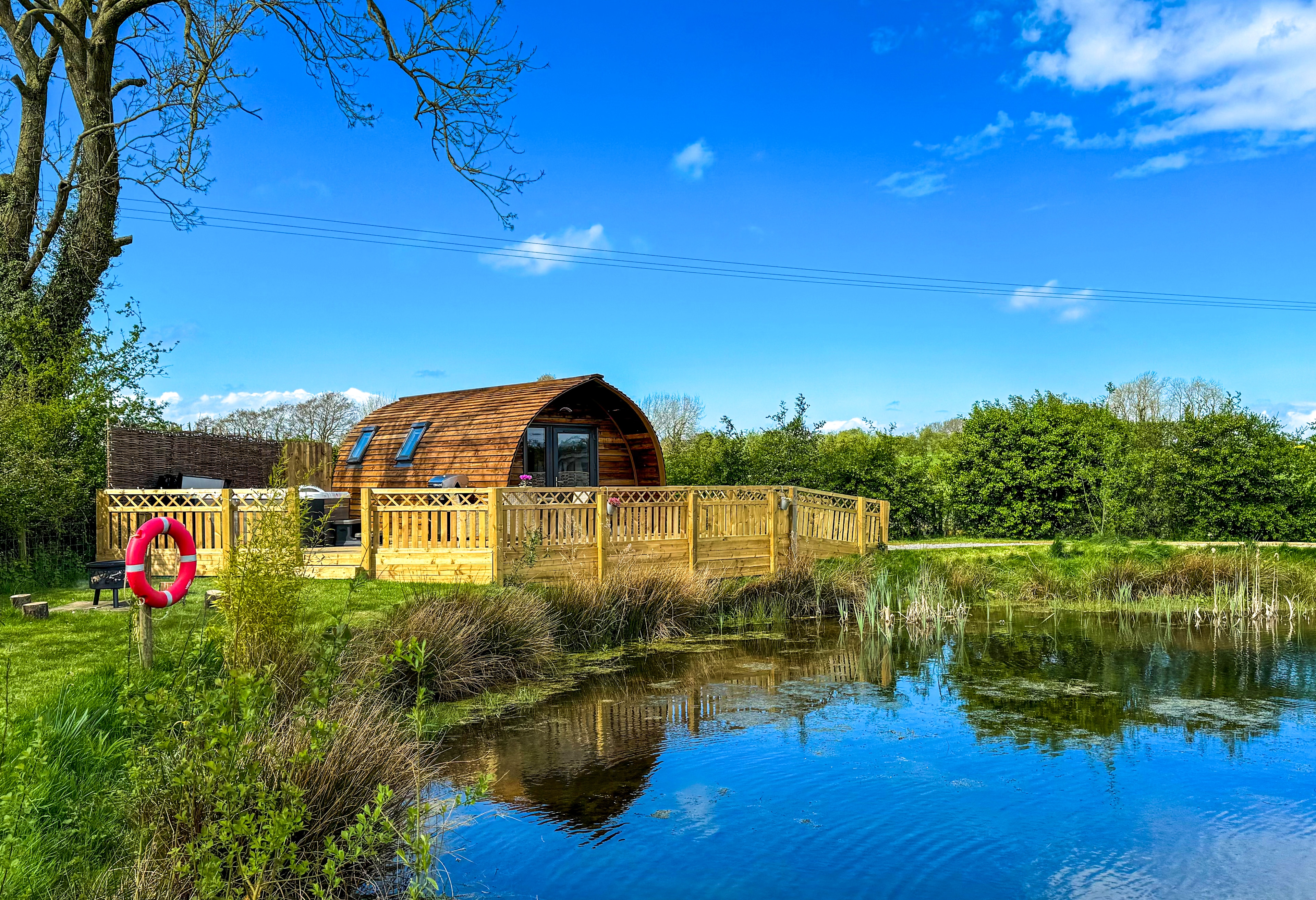
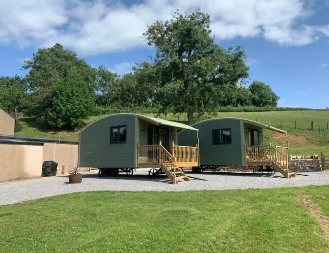
9. Stanley Villa Farm Fishing& Camping

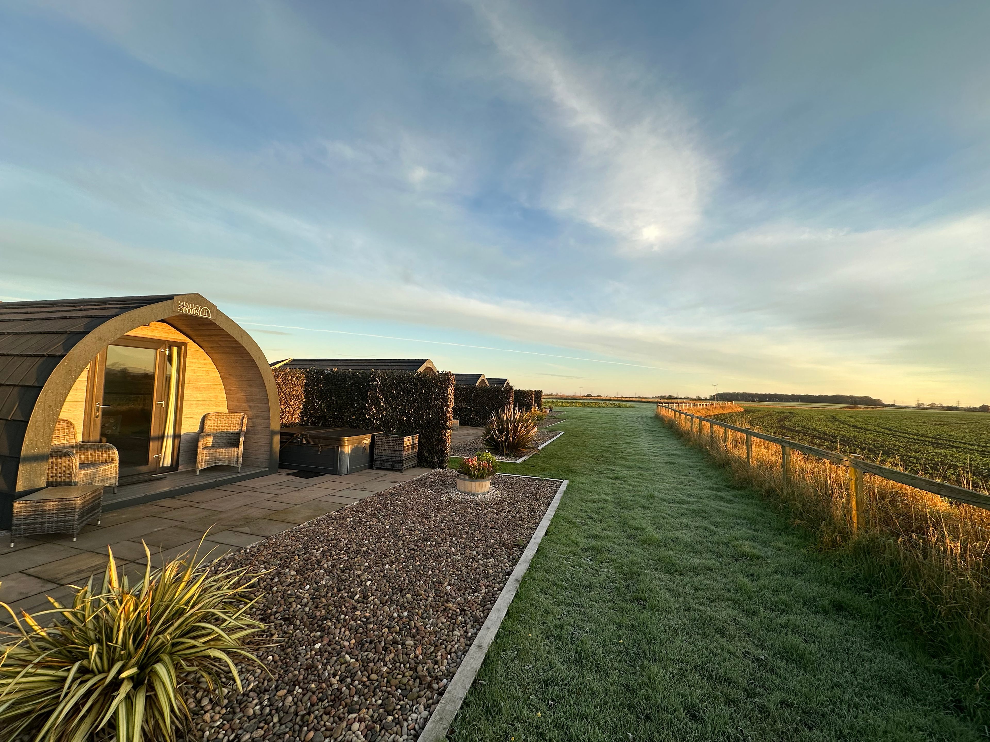
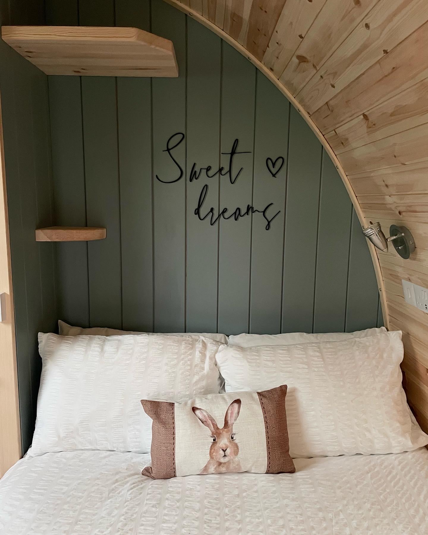
10. Lincolnshire Lanes
11. Lambs Glamping
12. Roseacre Retreat - Adult Only
13. Ravensdale Glamping Retreats
14. Off-Grid Glamping at Lahtle Wood
15. The Hygge Out
16. Yapham Holds Farmhouse
17. Smardale Mill Shepods The Ash

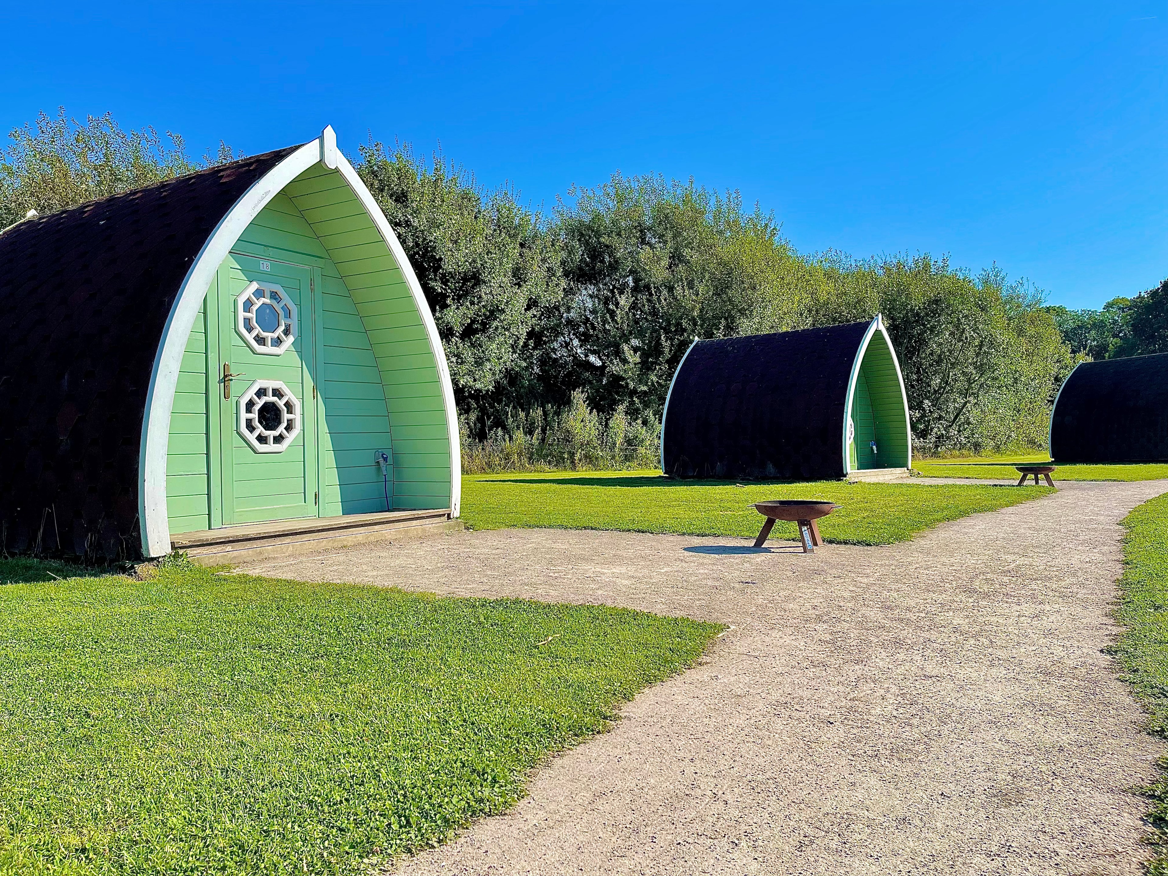
18. Coxons Farm Luxury Glamping Pods
19. Viking Garth Hideaways

20. Langley Dam Glamping
Recent reviews from the Hipcamp community


Middlesbrough camping guide
Where to go
North York Moors National Park
The smaller of Yorkshire’s two national parks squeezes into the county’s northeast, coming within a few miles of Middlesbrough and encompassing one of England’s largest expanses of heather moorland. Hilly moors bulk up the park’s west, while the east side (the best area to camp) takes in a seaboard of mighty cliffs and deep coves, including charming fishing harbours Staithes and Robin Hood’s Bay. The Cleveland Way long-distance path runs around three sides of the park.
Yorkshire Dales National Park
Britain’s third-biggest national park kicks off 30 miles southwest of Middlesbrough, where high, exposed moors are given special character by their lush and diverse dales. Richmond, in the Yorkshire Dales’ northeast, is Middlesbrough’s closest park gateway, while Swaledale, the most iconic dale, winds west of Richmond too. Here, Muker, with its winsome wildflower meadows sheltered beneath high moors, makes the most compelling introduction to the park. Camp at Muker or nearby Keld, connected by fantastic hiking trails.
North Pennines AONB
Covering most upland countryside between Carlisle (to the northwest) and Bishop Auckland (to the southeast), the UK’s second-largest AONB forms the northern portion of the Pennine Range. These pale green hills run through so much of Northern England that they garner fame as the “backbone of England.” Bowes, about 33 miles from Middlesbrough, has a brace of campsites and is only a few miles off the Pennine Way—a huge chunk of this, Britain’s first long-distance footpath, falls within the North Pennines.
When to go
Like many big Northern English towns, Middlesbrough can be mighty murky during winter. Thus, April through to October, hiking season in Yorkshire’s national parks and seaside season, is recommended as the best window for camping holidays. April and May, with the lowest average monthly precipitation, may be the top months. Stockton-on-Tees’ Billingham International Folklore Festival in August makes for one of the most interesting times to visit.