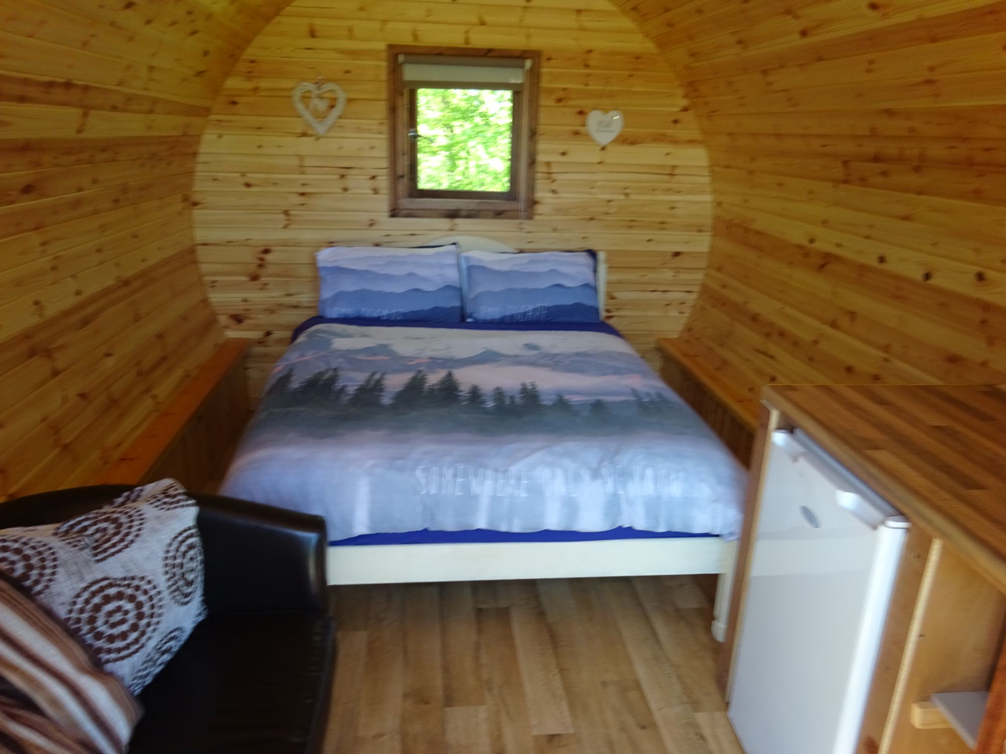
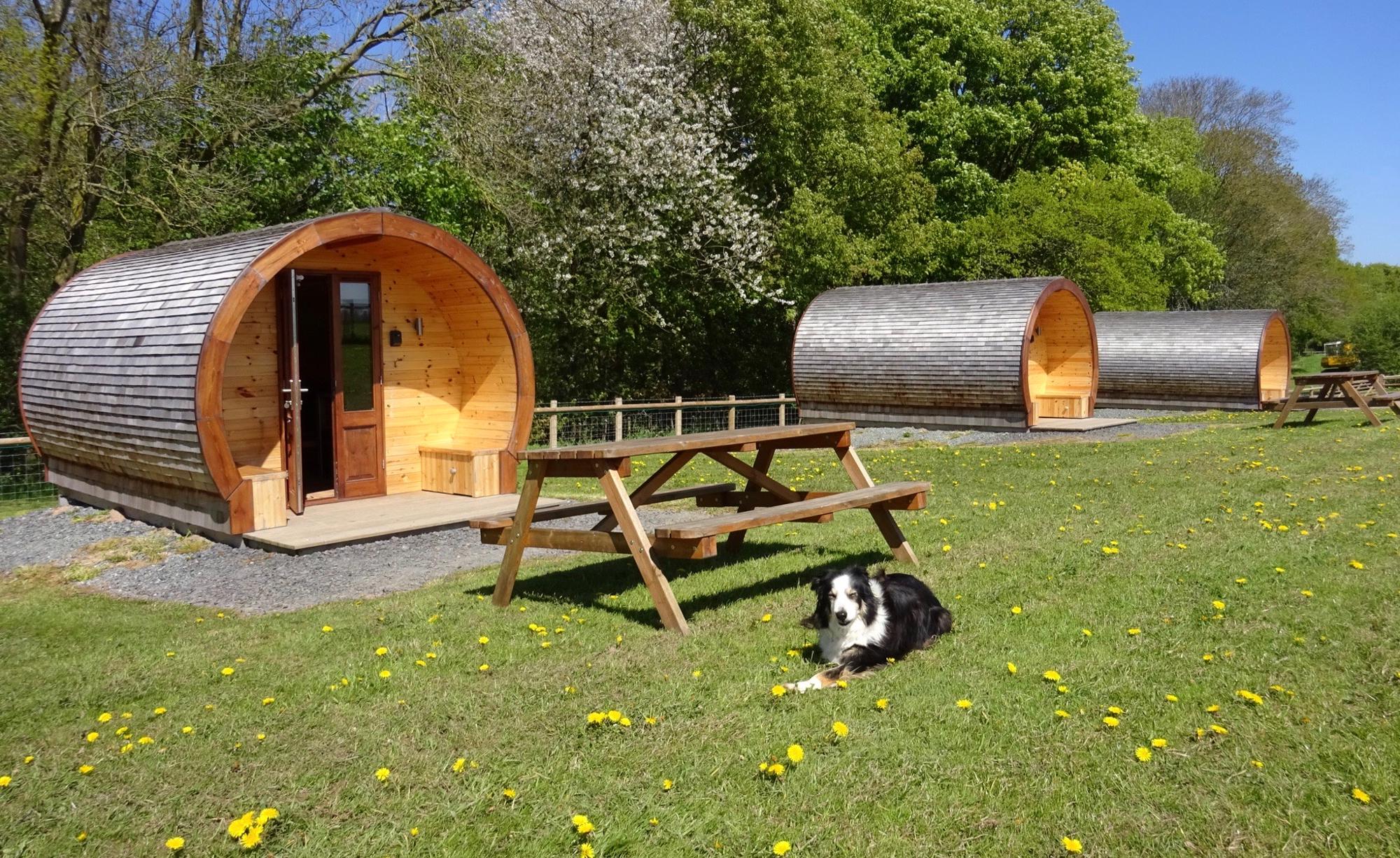
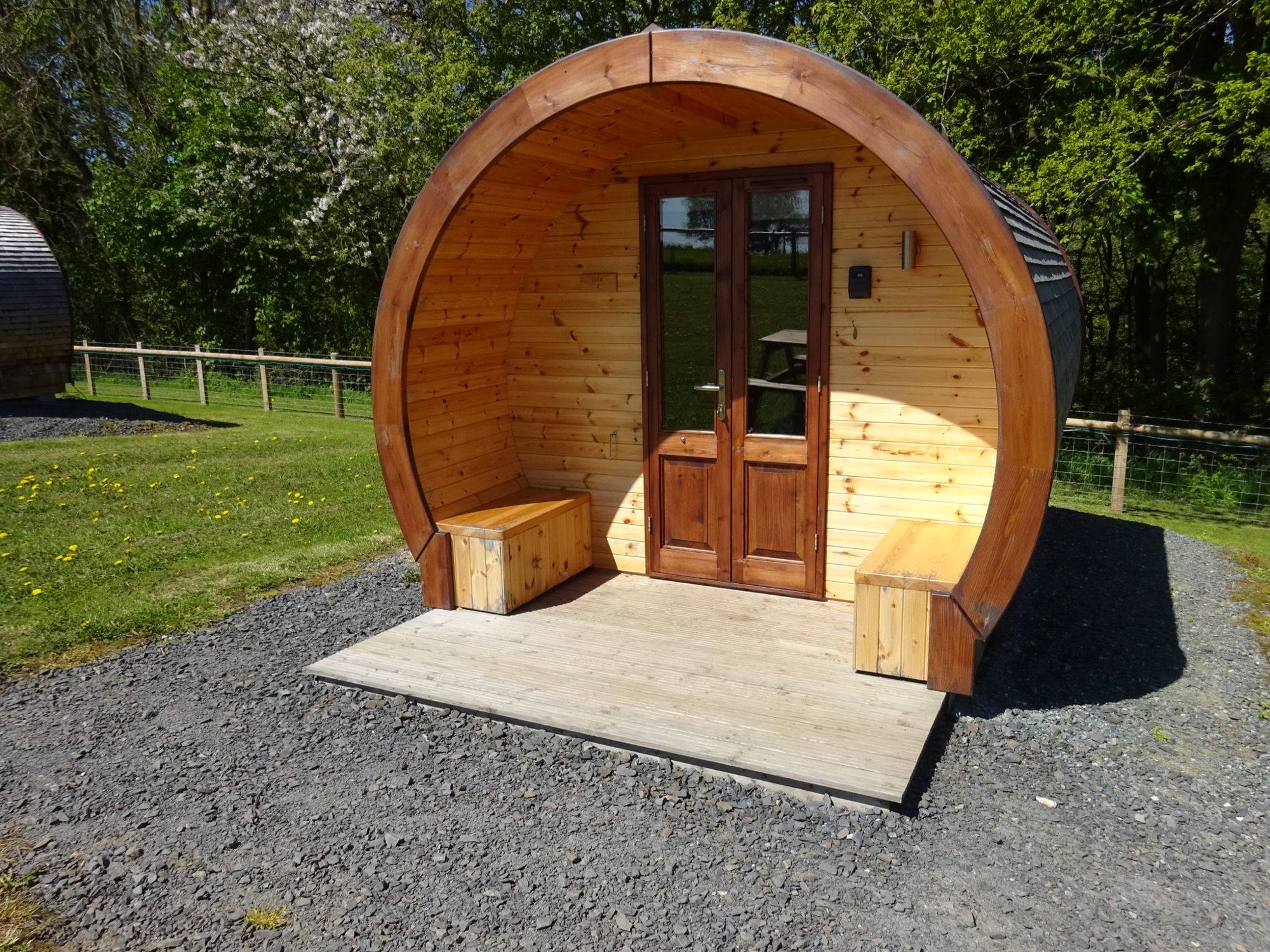
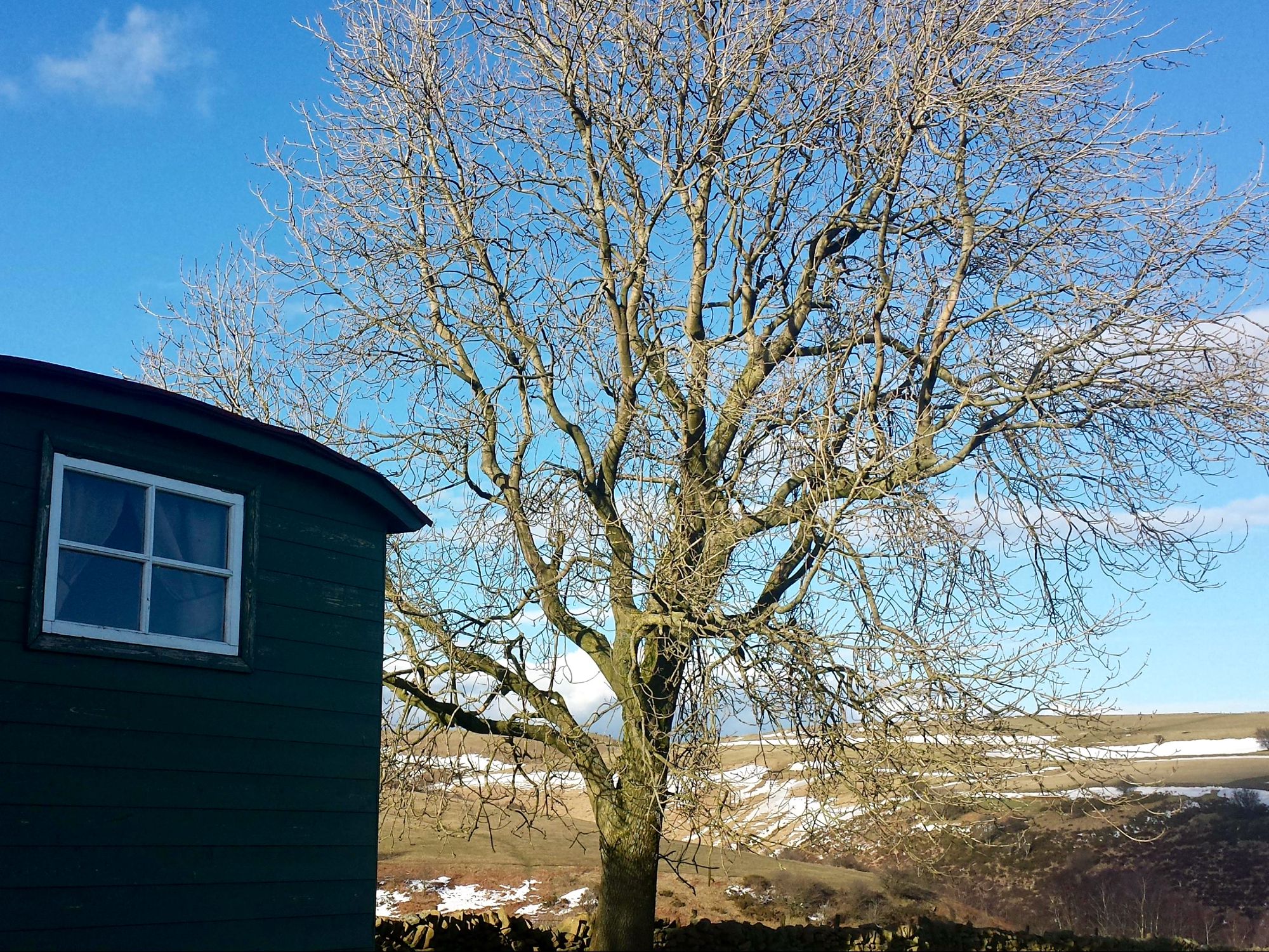
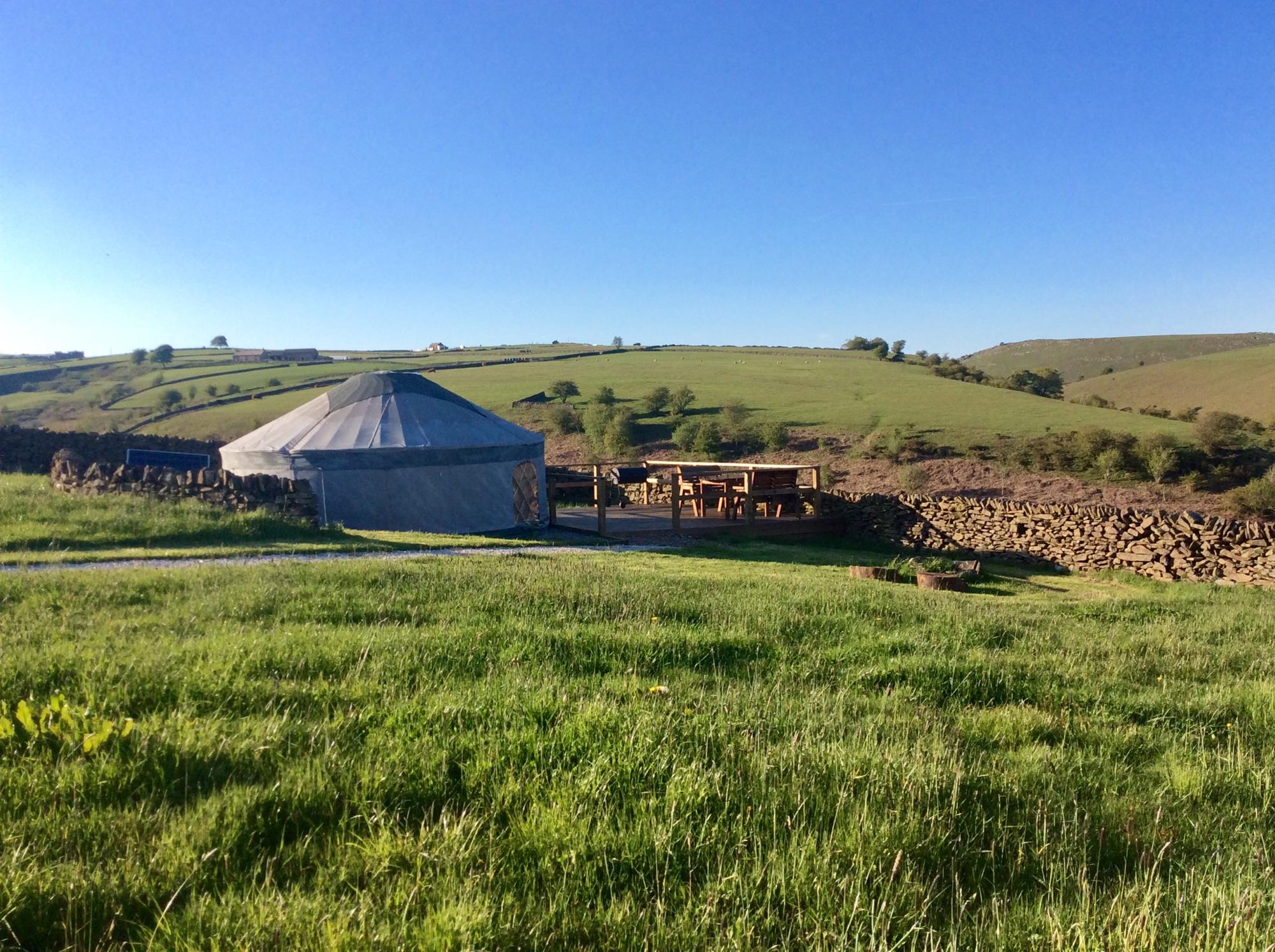
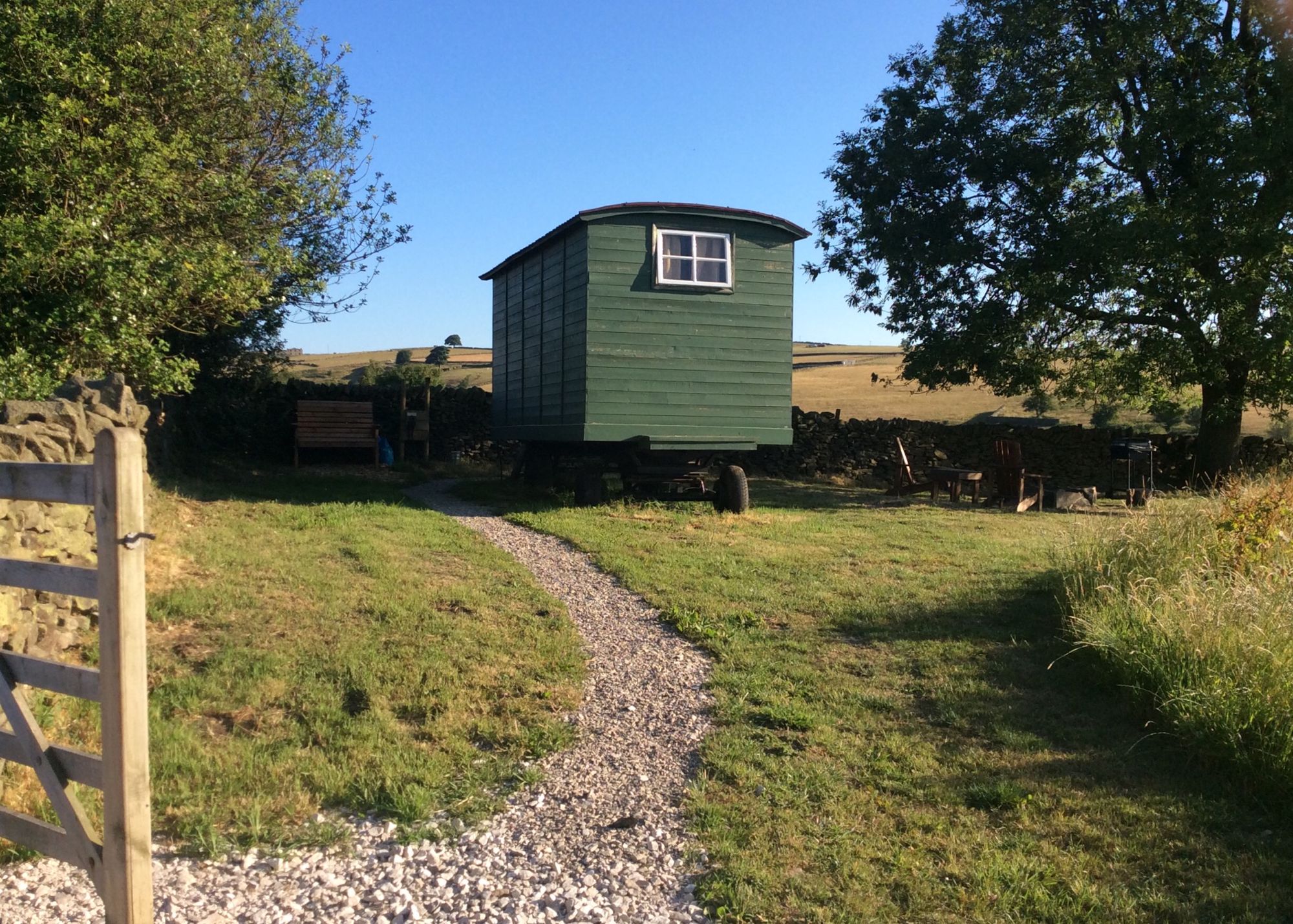
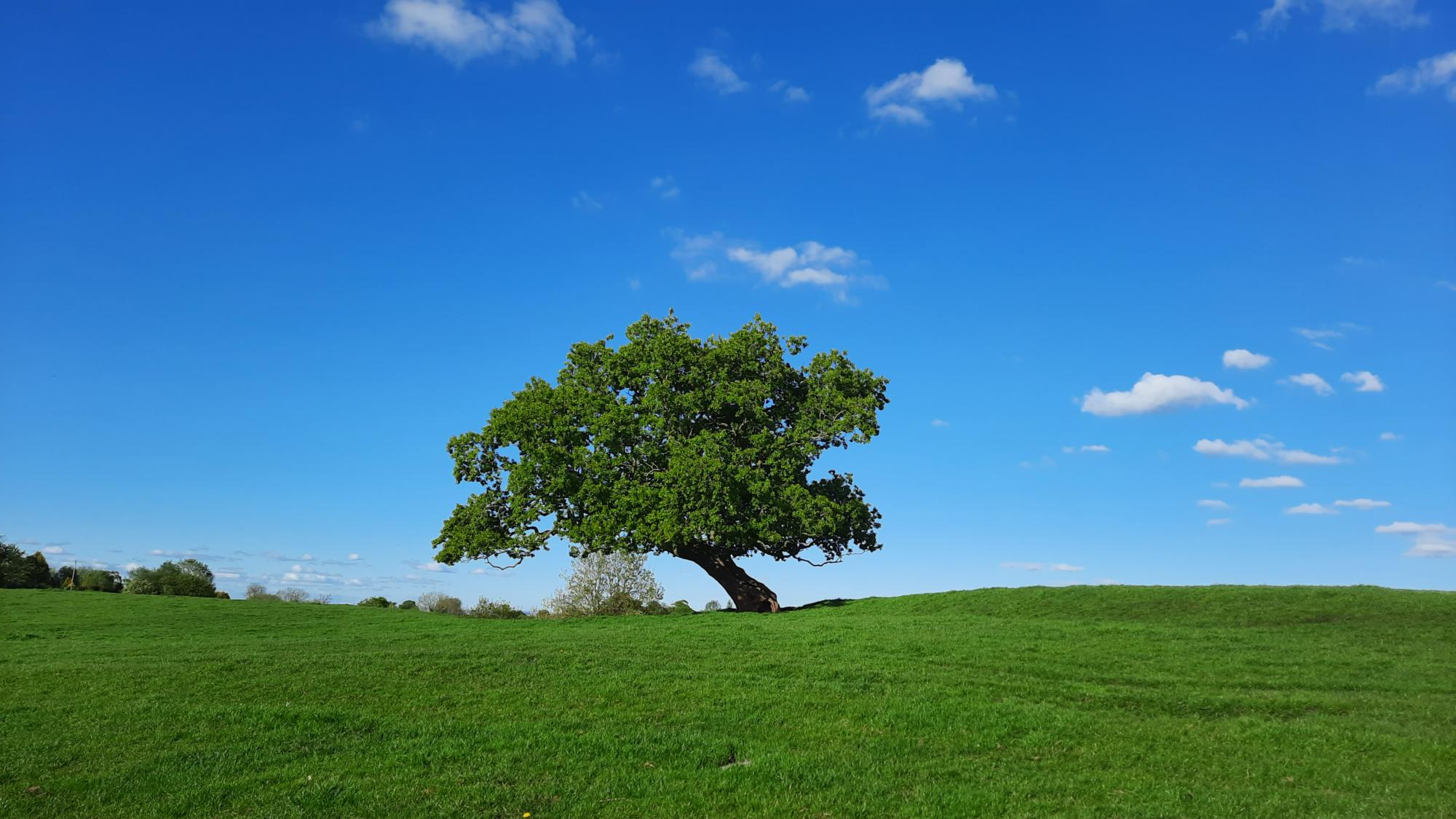
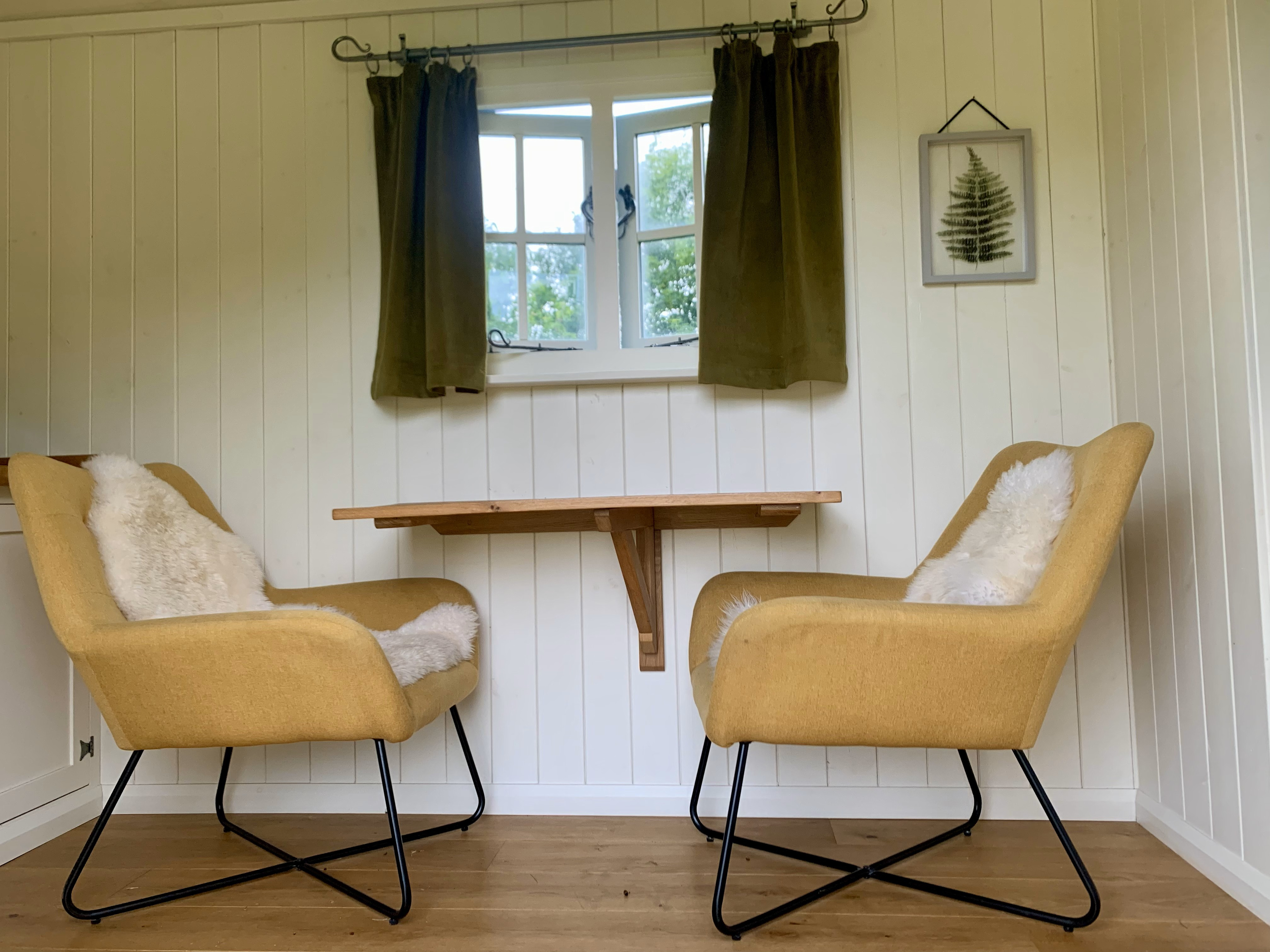
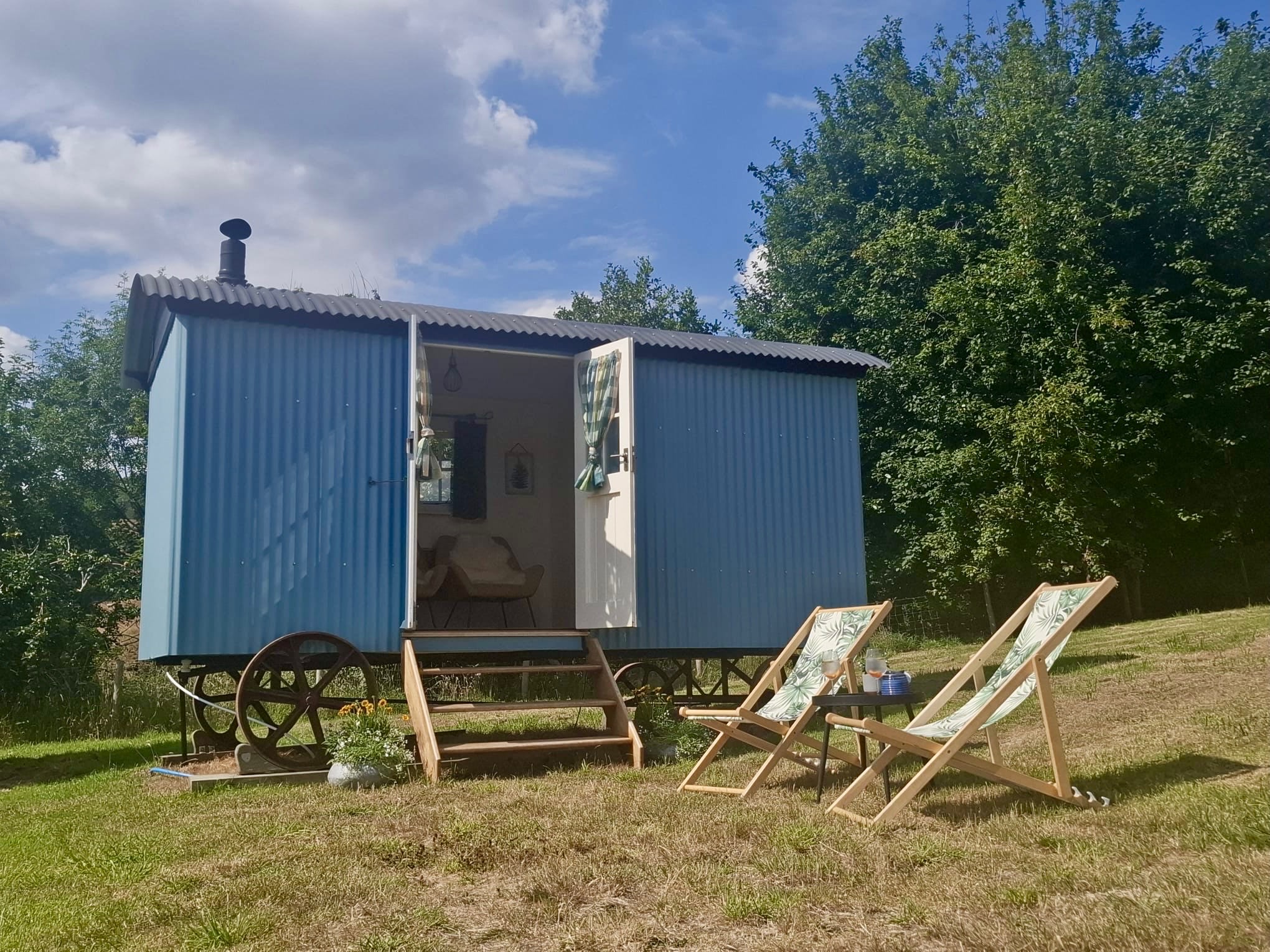
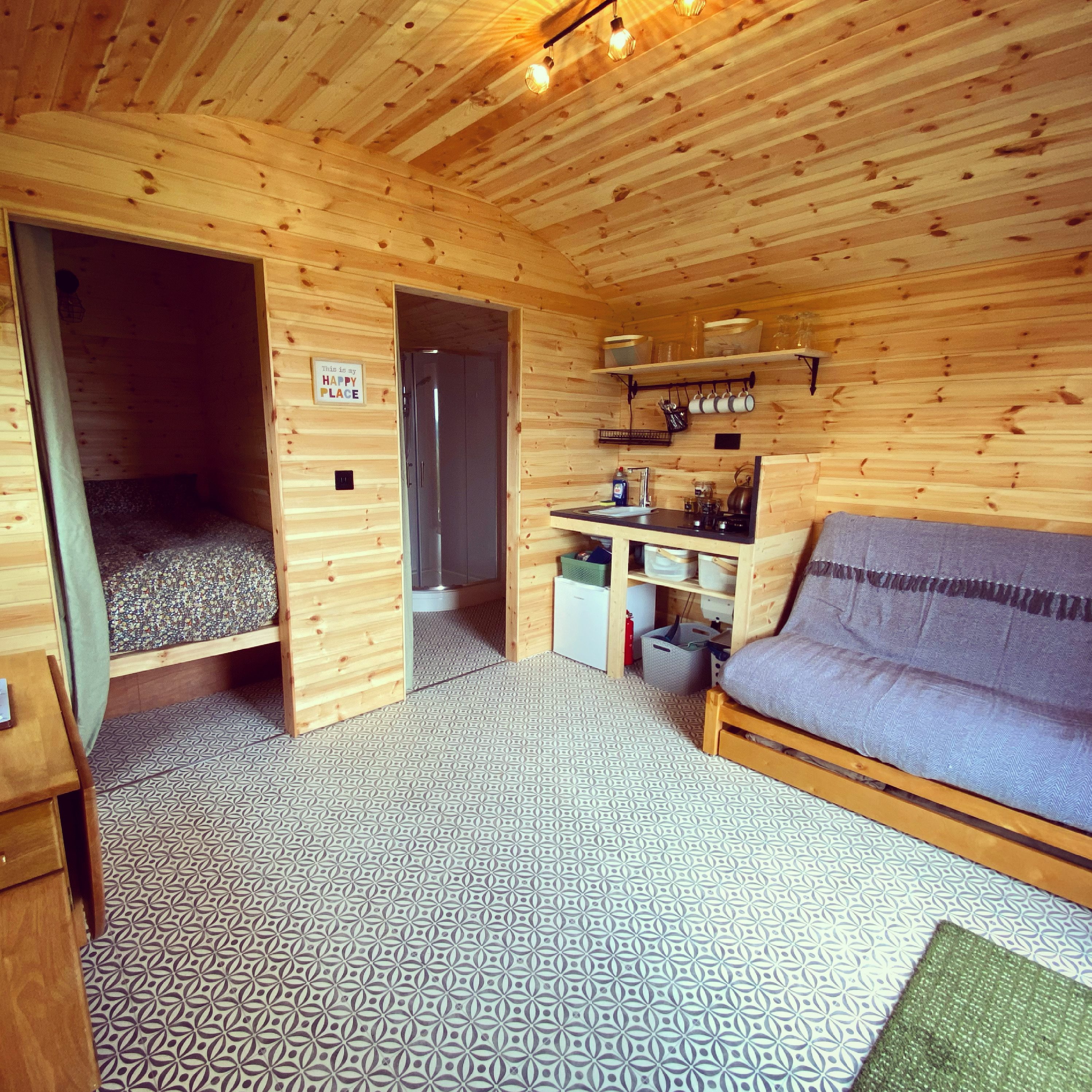
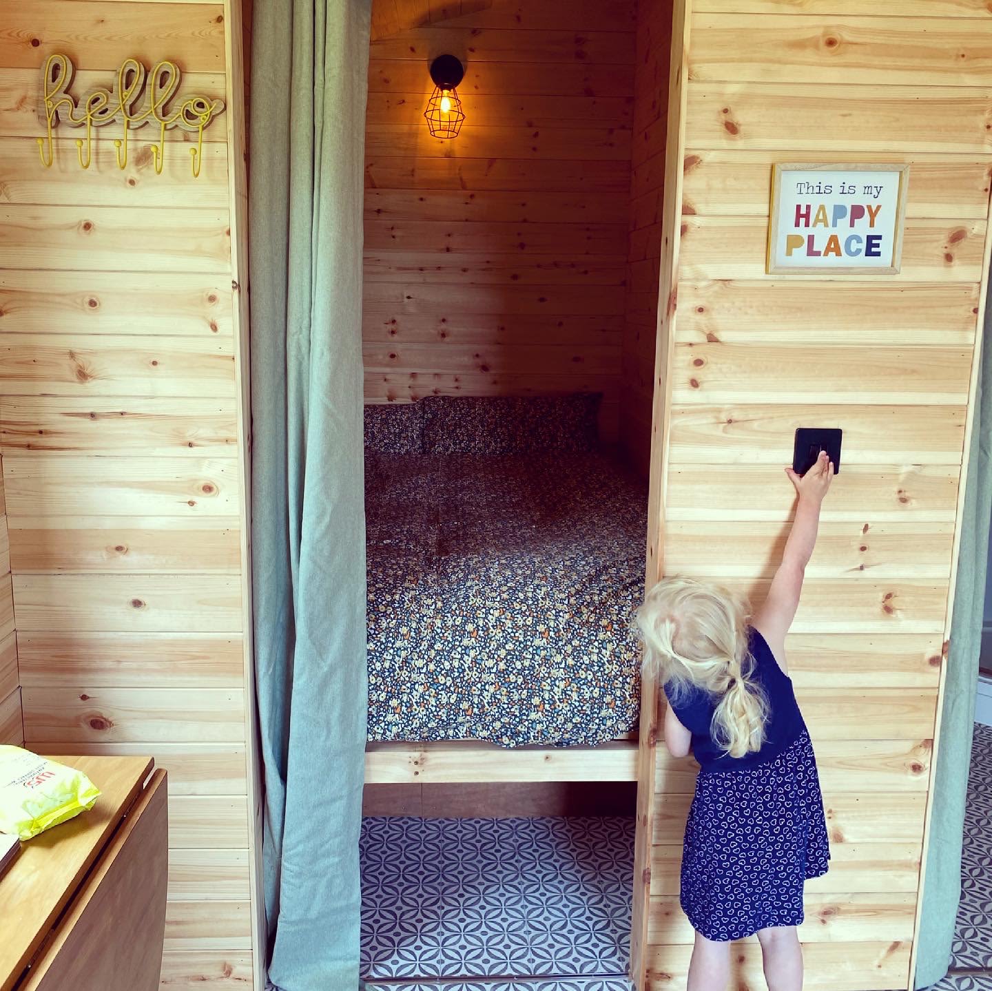
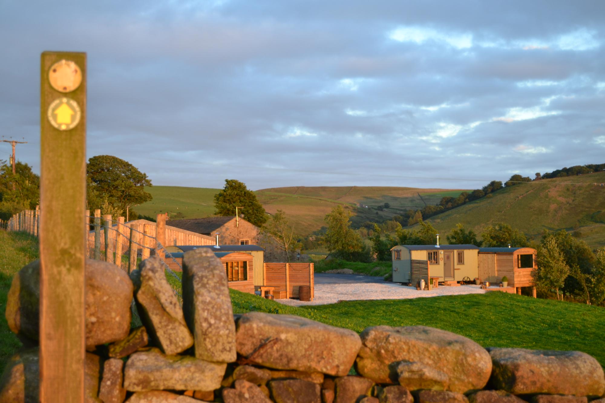
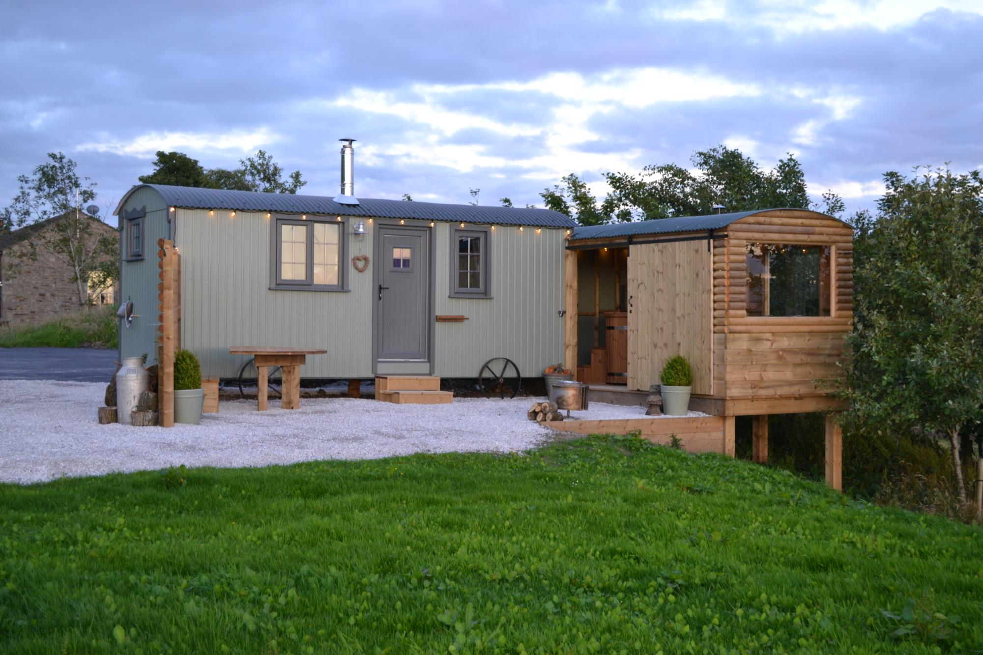
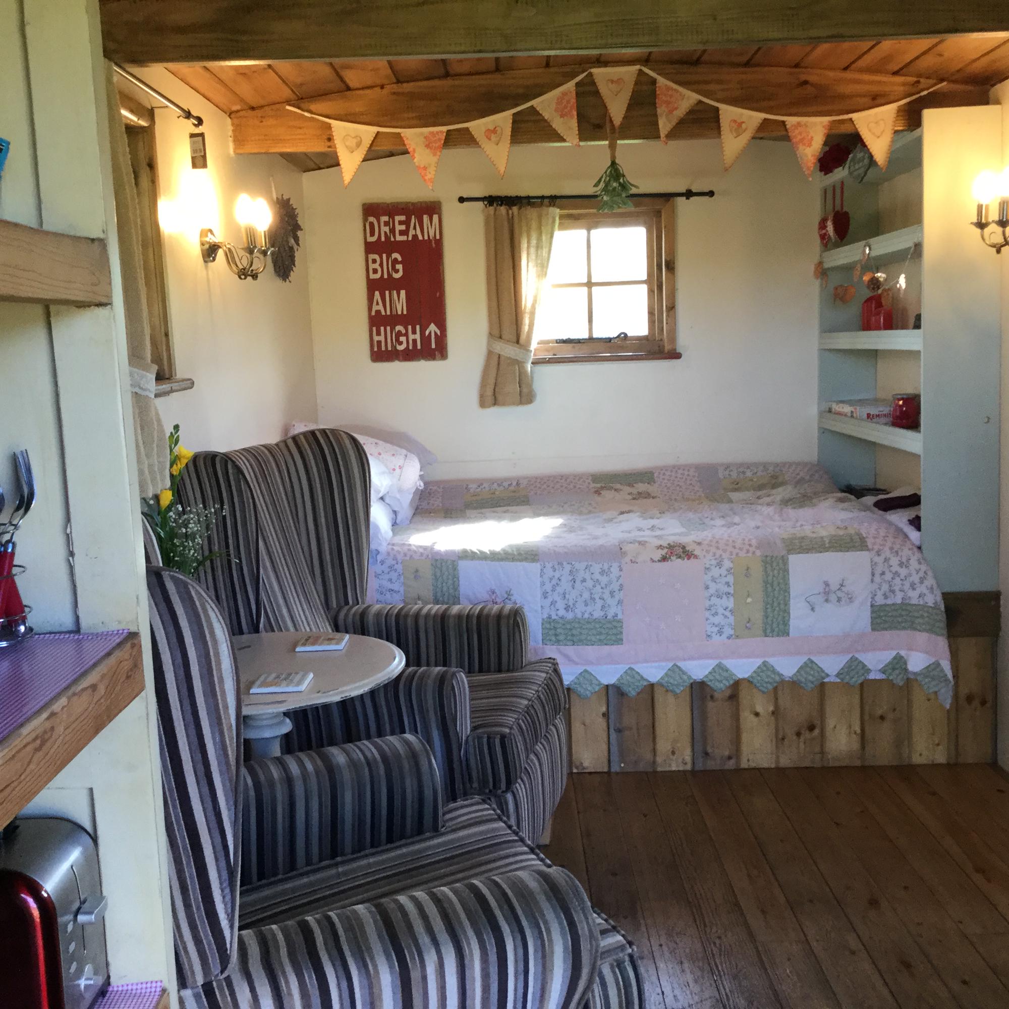
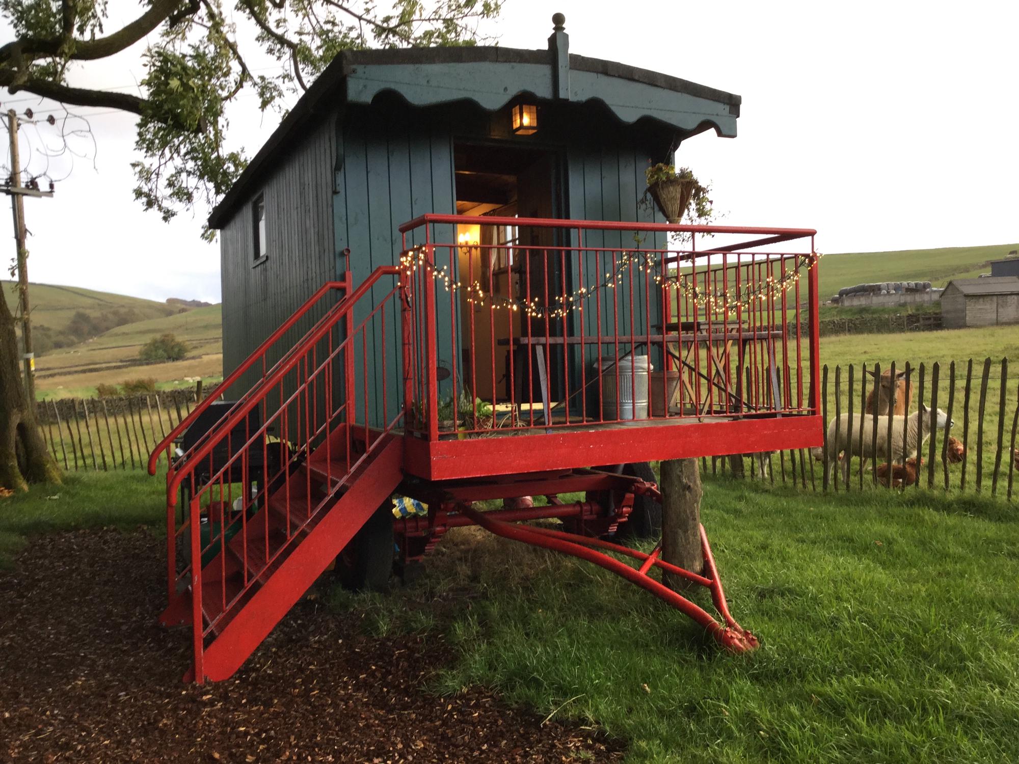
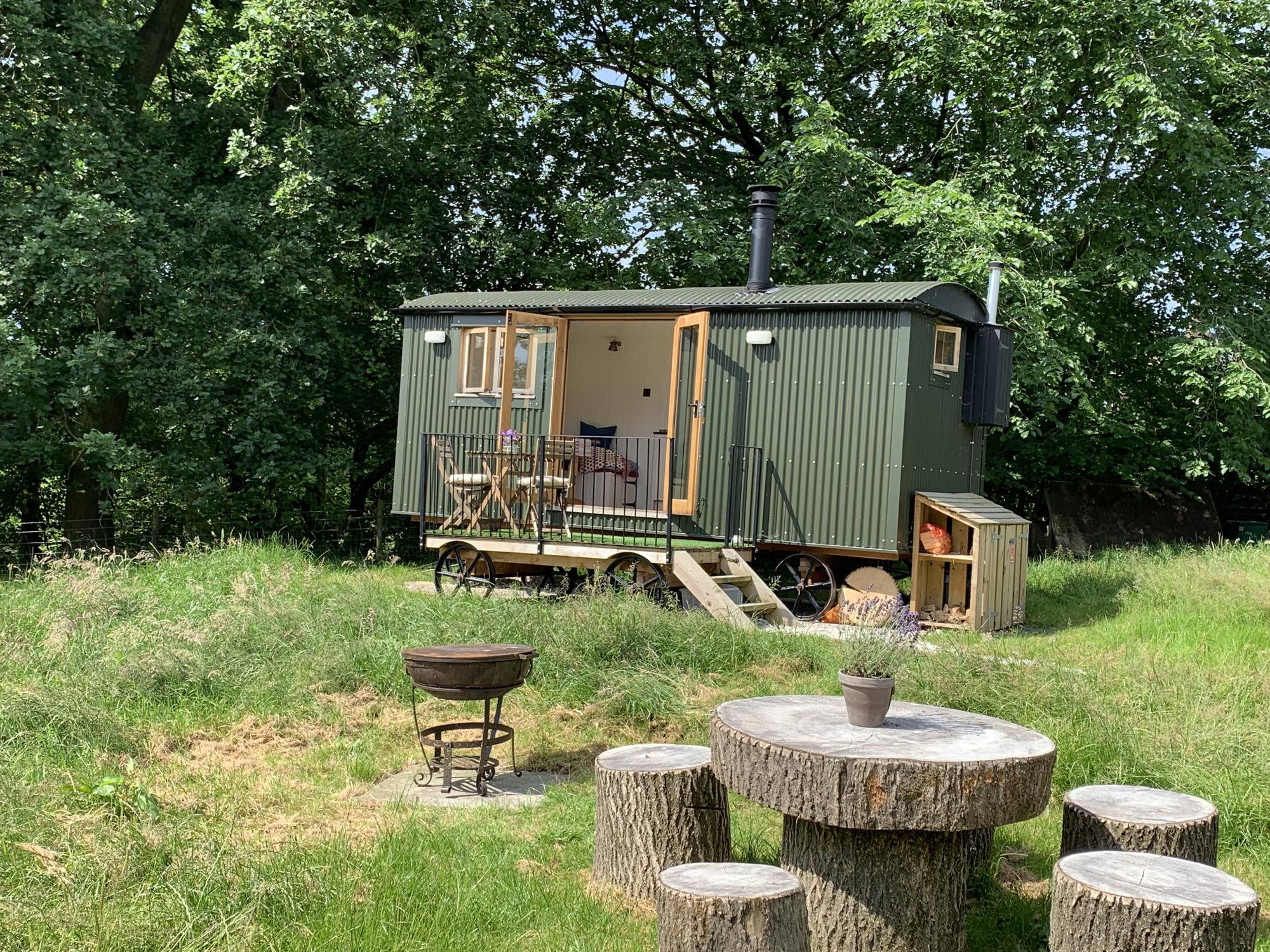
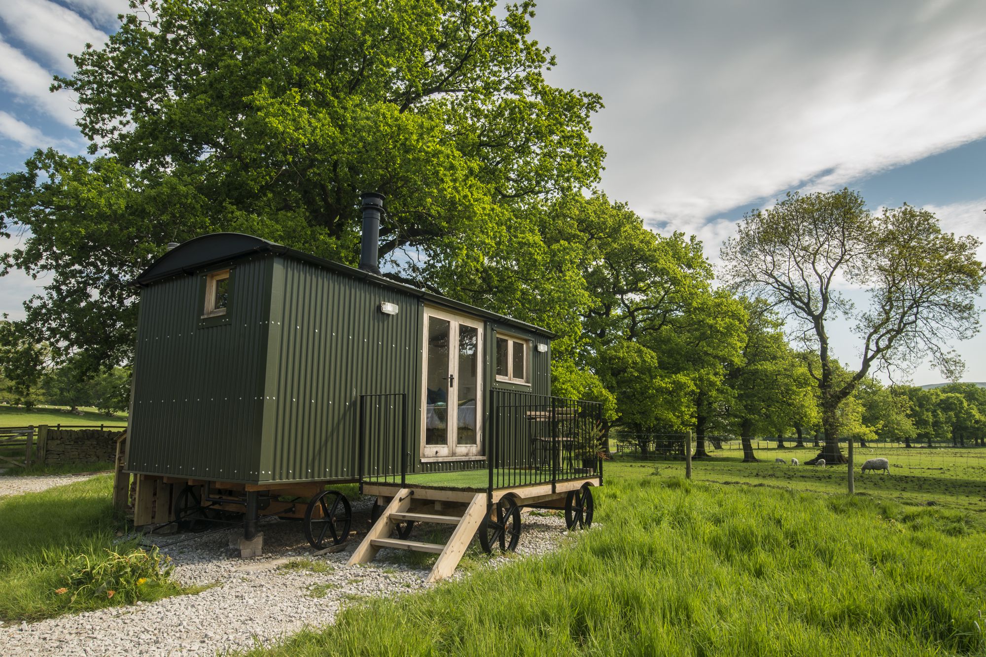
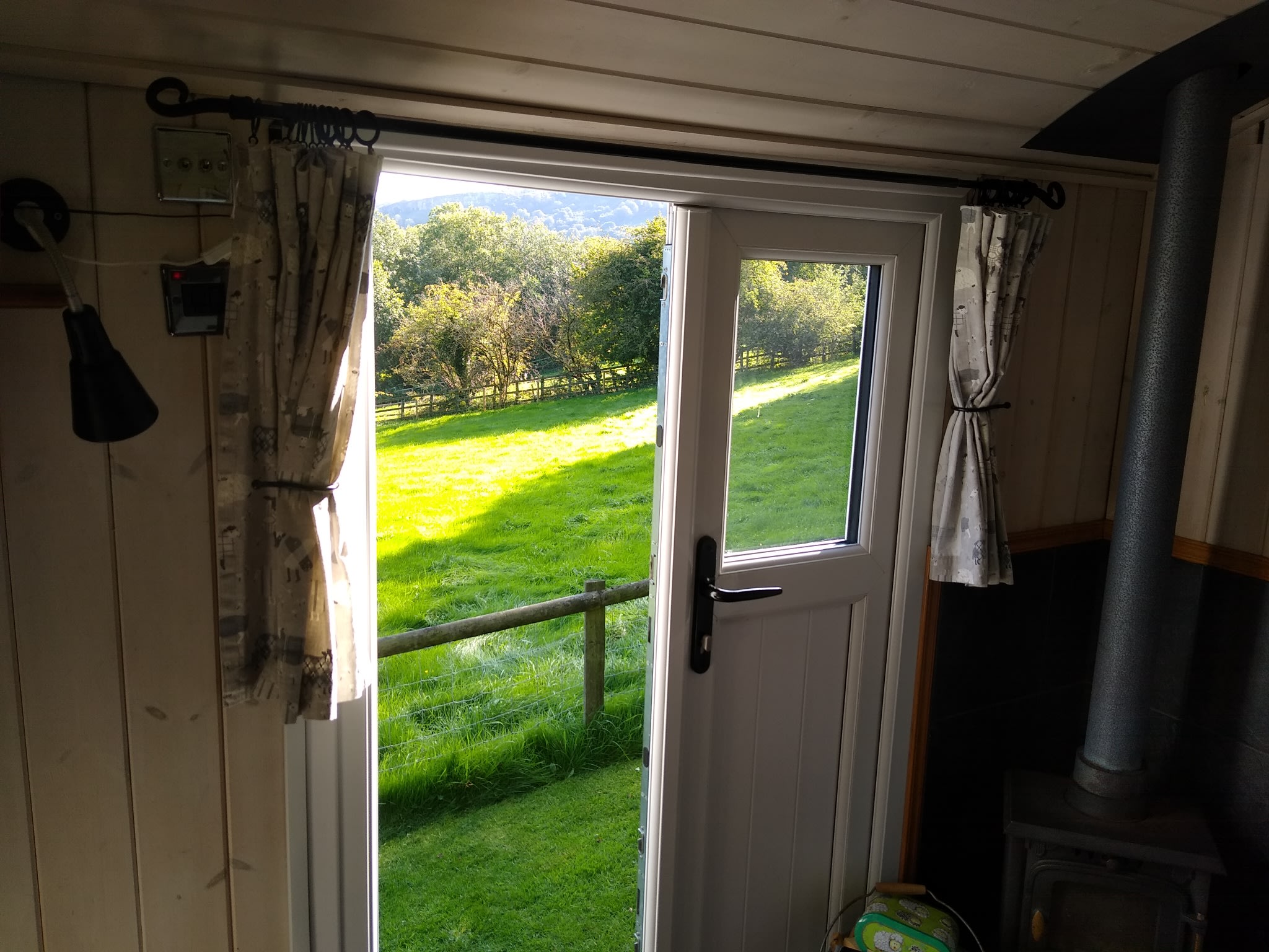
- Shepherds Hut
Shepherd's Huts in Macclesfield Forest
Top-rated campgrounds in Macclesfield Forest
1. Castle Farm Holidays Shropshire
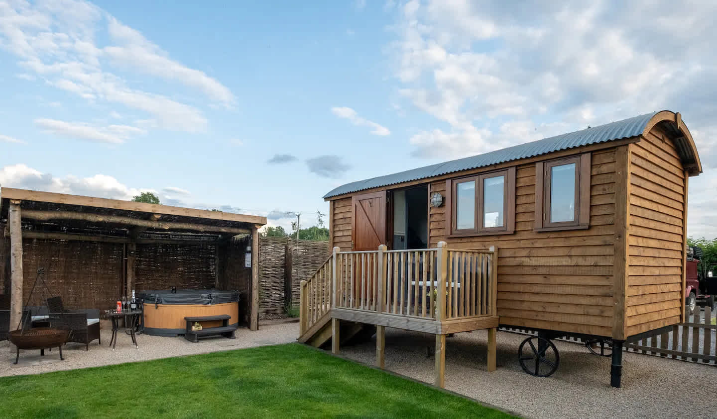
2. Peak Glamping Hideaway
3. Tipsy Tree Glamping
4. Tower Farm
5. Hob Hey Hideaways
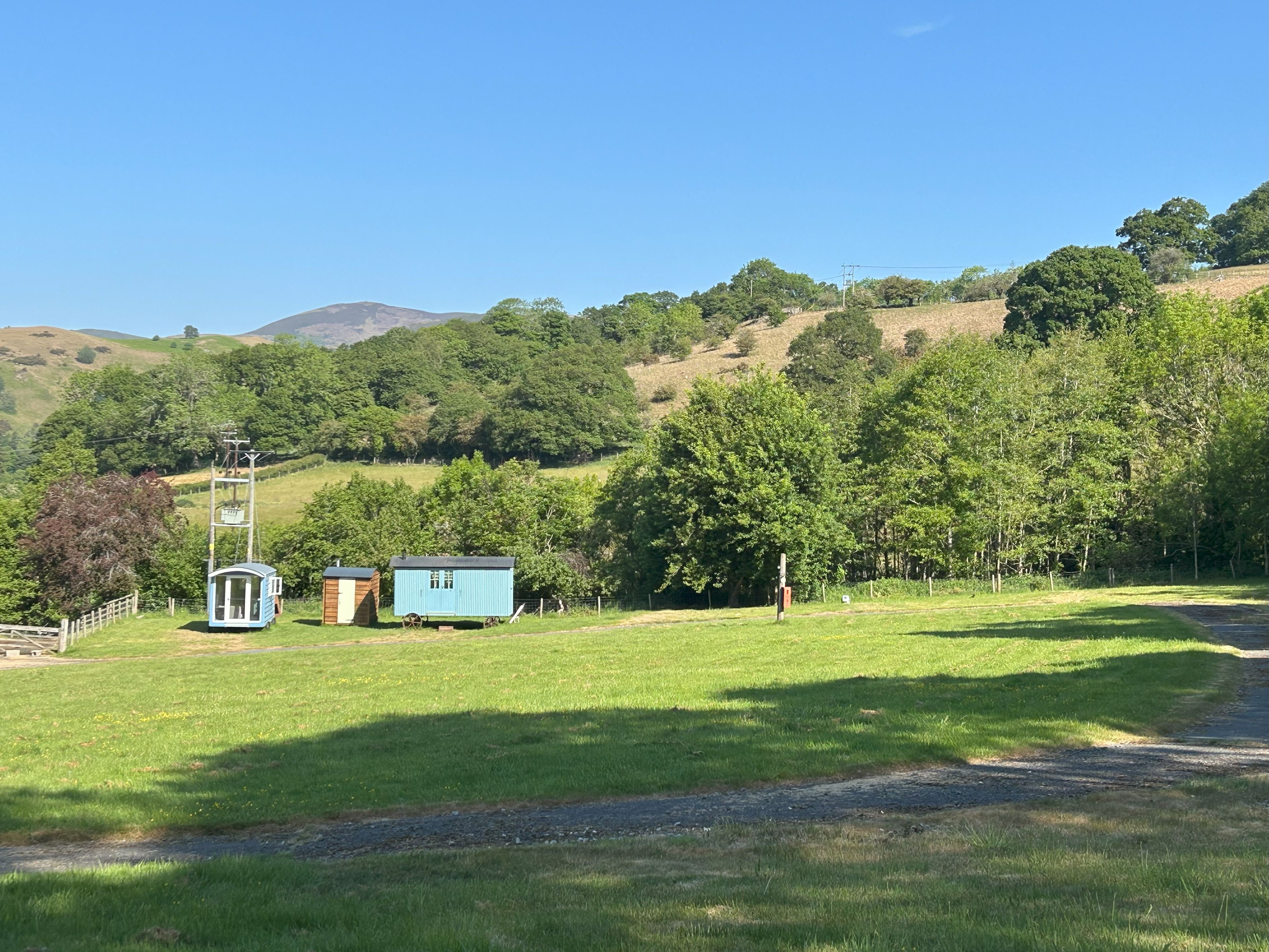
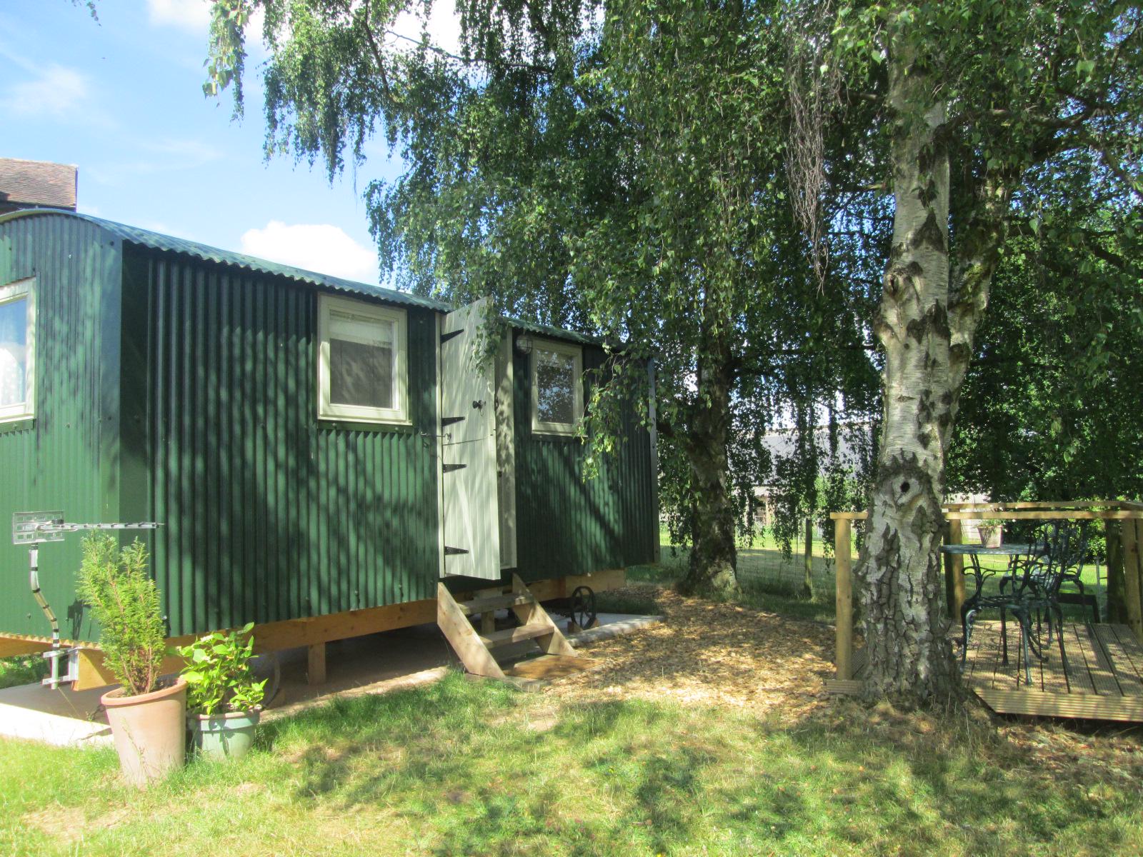
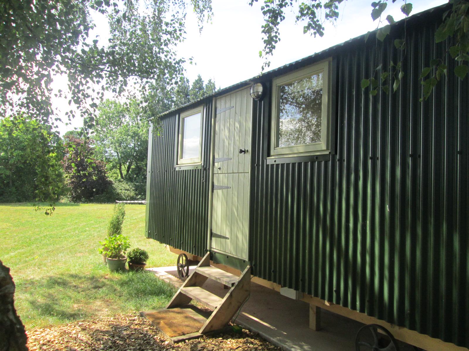
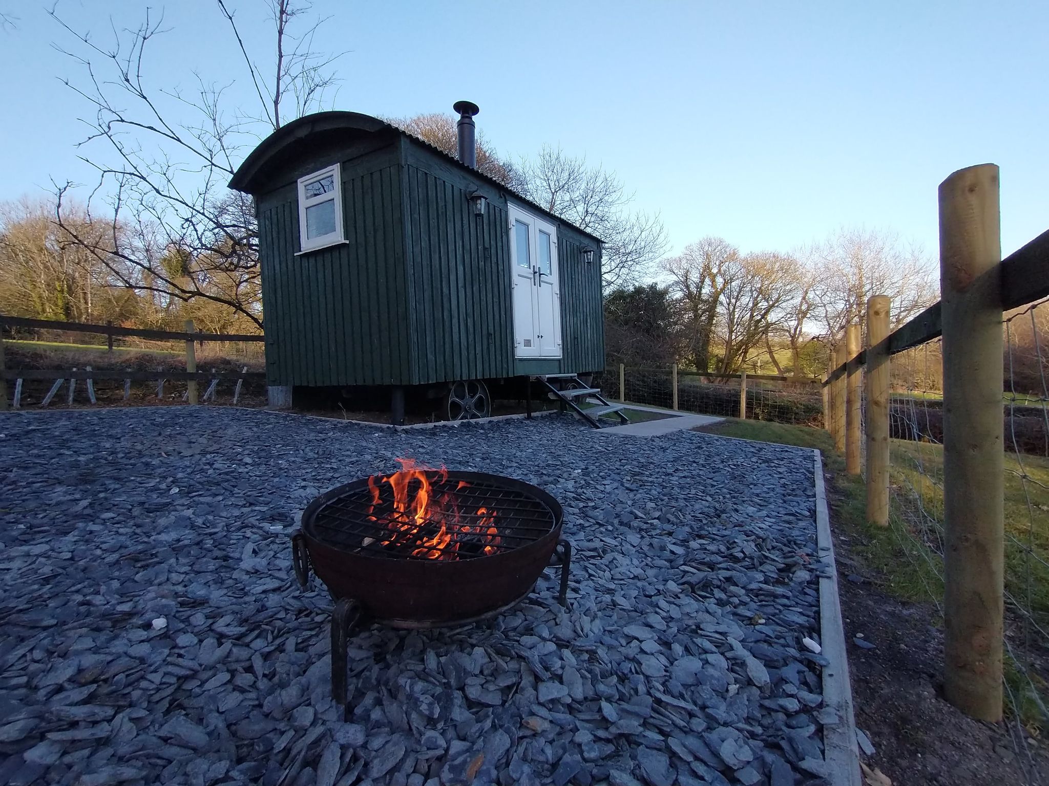
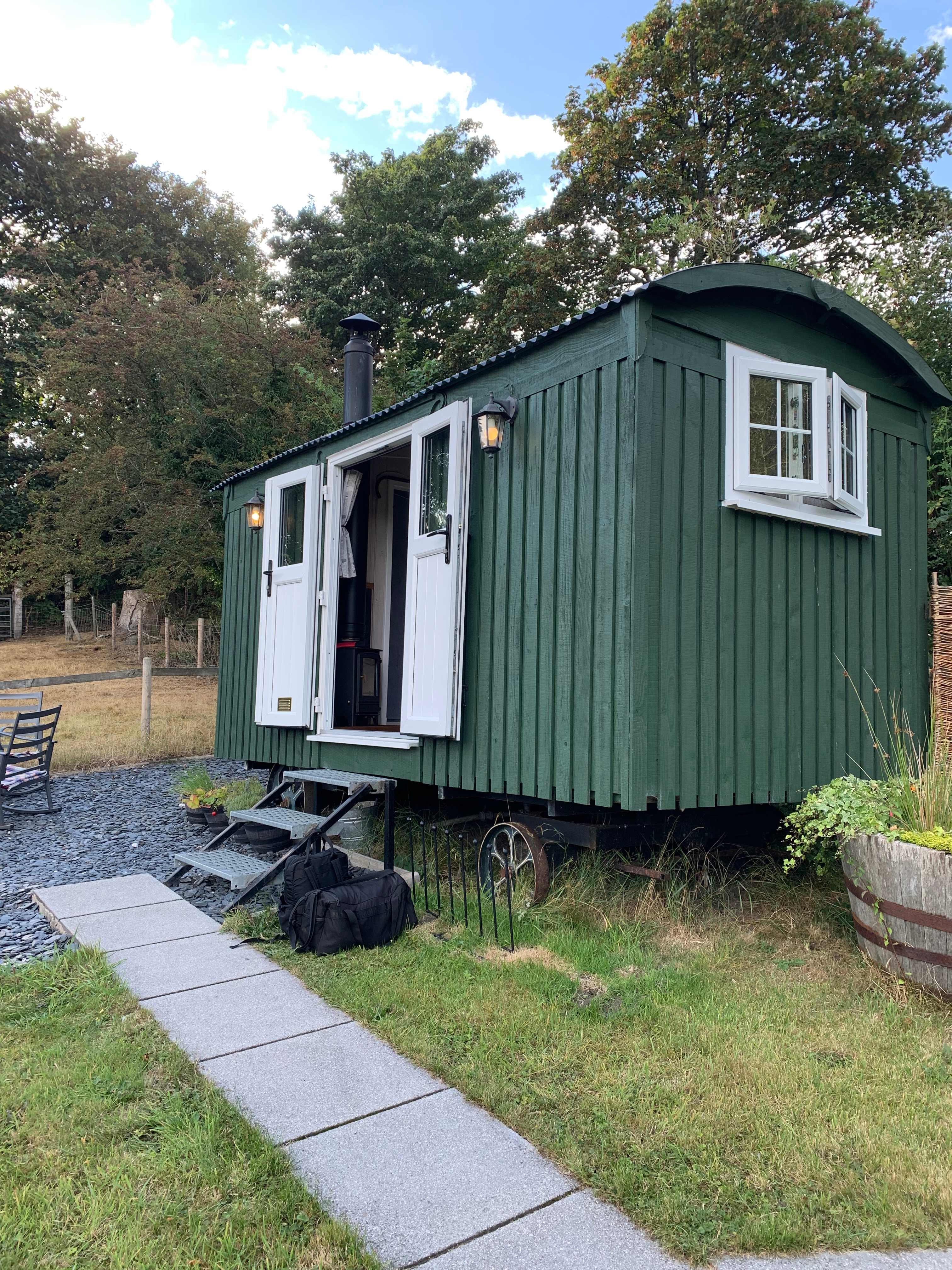
6. Balwen Shepherds Hut
7. Copy House Hideaway
8. Gollin Farm Shepherds Hut
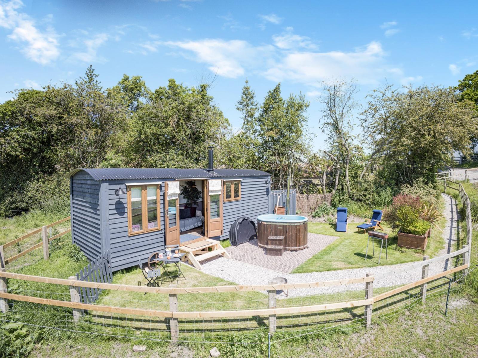
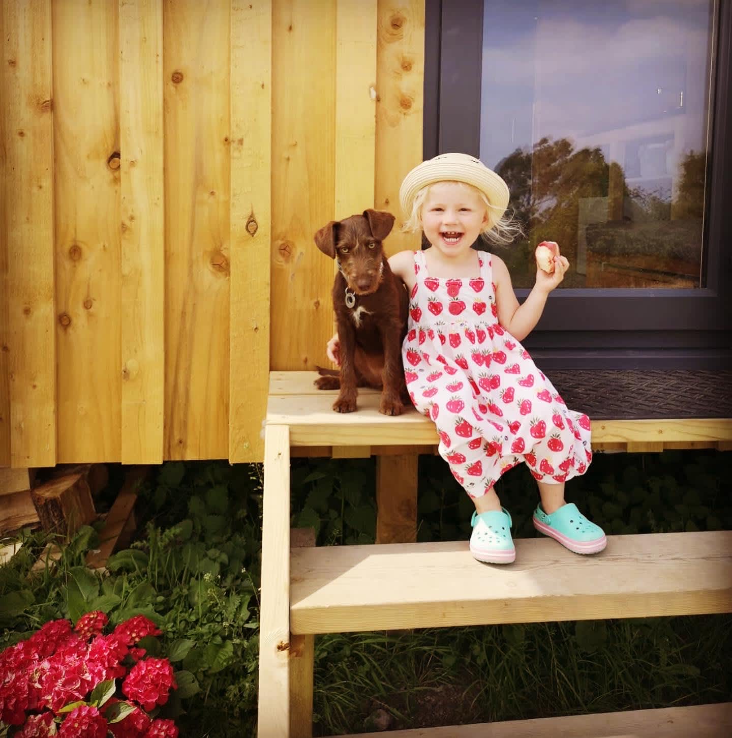
9. Luxury Shepherds Hut with Hot Tub
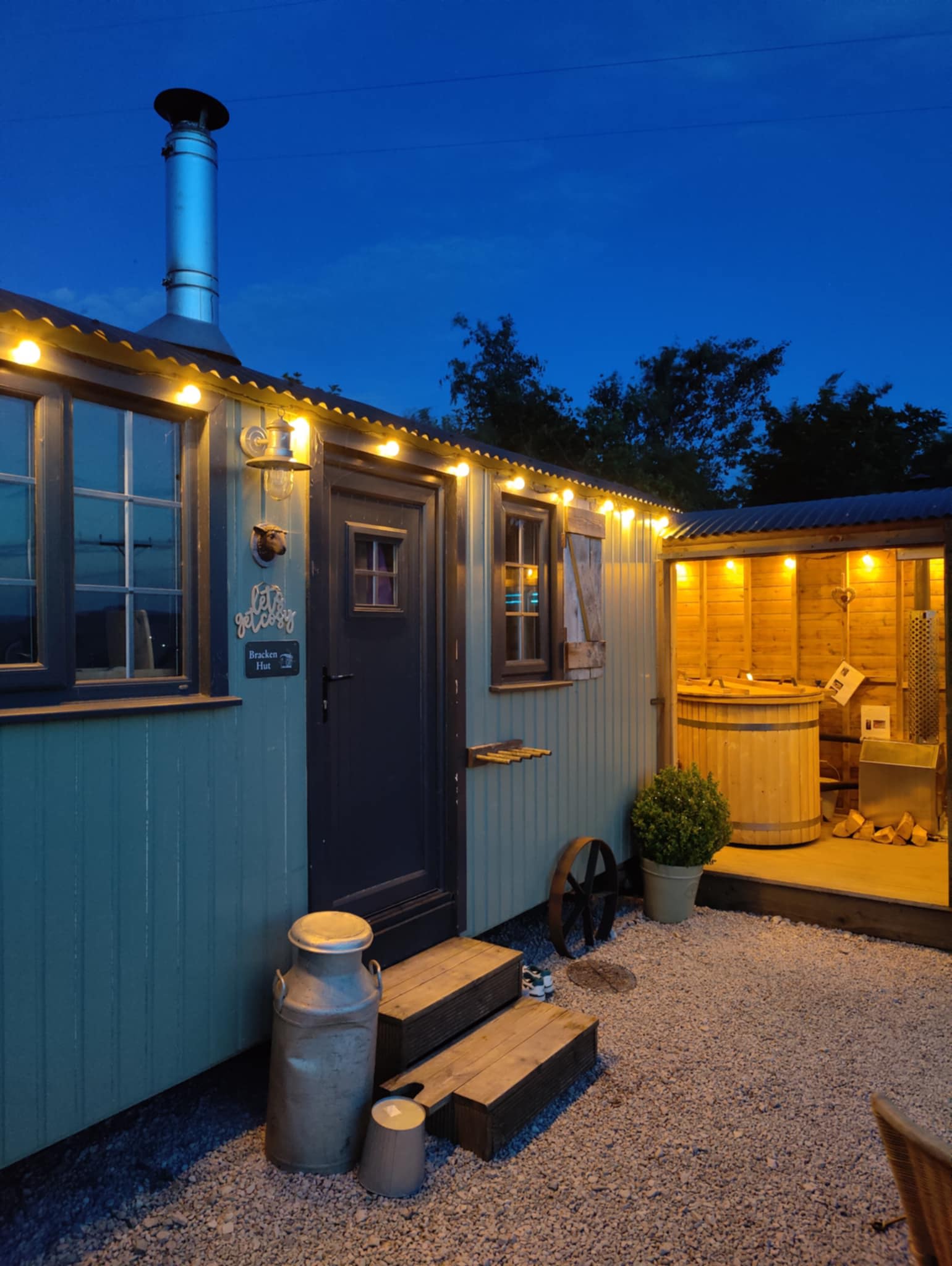
10. Whitelee Farm Shepherd Huts
11. Hay & Hedgerow Glamping
12. The Hut at Hafod Las
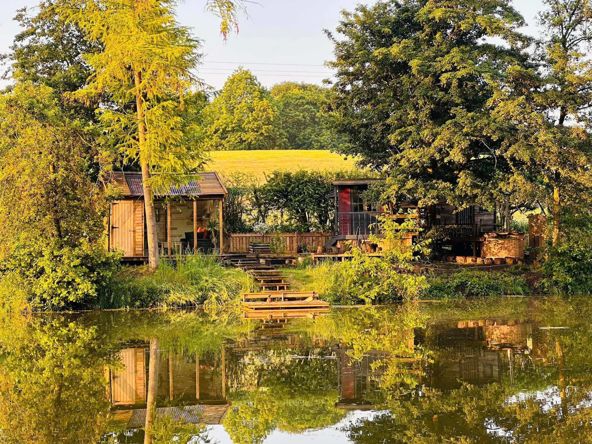
13. Colehurst Lake
Recent reviews from the Hipcamp community

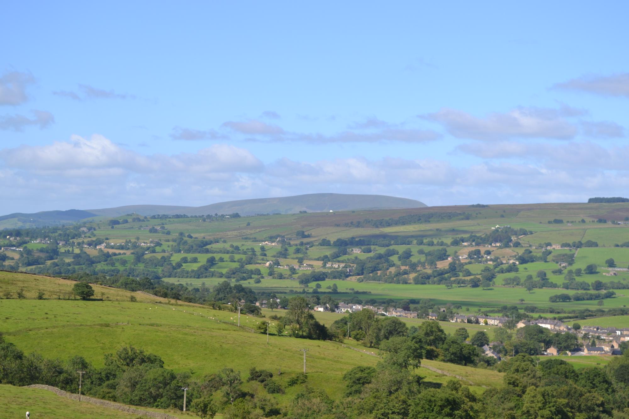
Macclesfield Forest camping guide
Where to go
Sutton Lane Ends & Langley
These two villages comprise the main gateway to the forest to the west, and fall under the same overarching parish. Only a few miles from Macclesfield, a balmy, bucolic vibe pervades. There are several atmospheric pubs and the only organised camping site close to the forest. Continuing east from Langley up Clarke Lane, you’ll quickly reach the Macclesfield Forest’s edge.
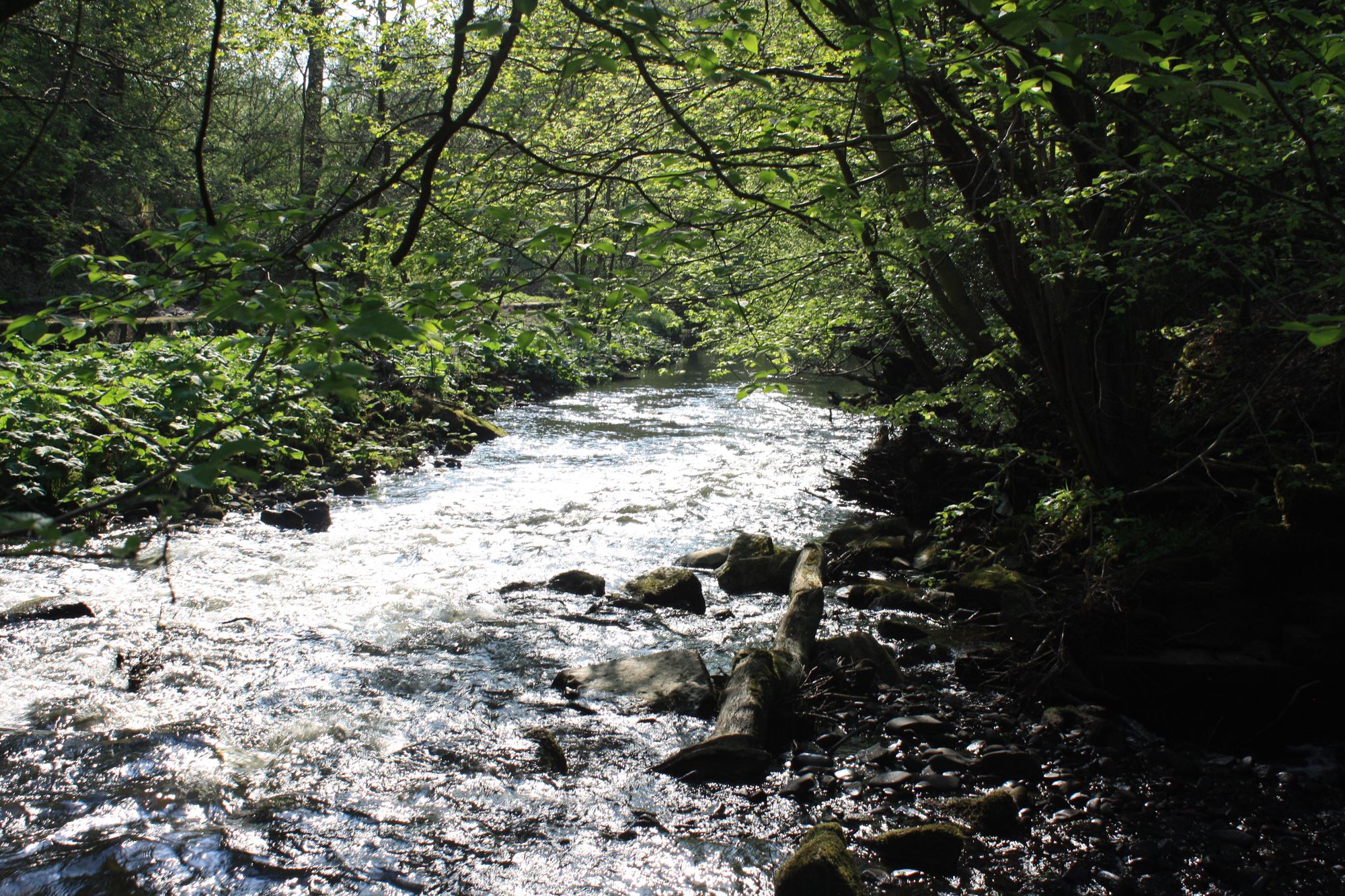
Trentabank Reservoir
This reservoir is the heart of Macclesfield Forest, home to the Peak District’s largest heronry, a nature reserve, and visitor centre. Birdwatch or spot other creatures including badgers, weasels, and red deer, get refreshments at the Leather’s Smithy pub, or take to the forest walking and cycling trails. A great walk runs through the forest and up to Shutlingsloe summit.
Tegg’s Nose Country Park
On Macclesfield Forest’s north side is this irresistibly pretty country park, occupying the site of a former quarry and the surrounding steep-sided moors. Climbing and abseiling are big here, and the one-hour Rock’s Trail highlights the area’s geology with a visit to Tegg’s Nose summit. There is also the challenging ‘Grit and Gears II’ mountain bike route, a tearoom, and a visitor centre.
Shutlingsloe
Cheshire’s second-highest hill, Shutlingsloe is linked by footpath across the moor near Macclesfield Forest. Views from the 1,670-foot top are superb—over the Peak District and across most of Cheshire—and the summit is also the highest point on the 190-mile Peak District Boundary Walk. England’s last wild boar was supposedly killed nearby—which is one theory behind the etymology of Wildboarclough, the village below the hill where you’ll find camping and a pub.
South West Peak
The South West Peak region of the Peak District National Park rolls away east of Macclesfield Forest, typically the national park’s least-visited region. It’s a zone loosely bounded by Macclesfield, Buxton, Kettleshulme, and Ilam, mixing barren plateau with fetching lower-lying pasture, while deeply scored cloughs divide the two. Long-distance hikes passing through include the Dane Valley Way and Churnet Way. Wildboarclough and the Manifold Valley make beautiful, quiet camping bases.